Parco Archeologico dei Tauriani: The Archaeological Park of Ancient Tauriana
Site at a Glance
- Popularity
- Medium
- Country
- Italy
- Primary era
- Classical
- Eras represented
- Classical, Early Modern
- Civilizations
- Kingdom of Naples, Roman, Spanish
- Site type
- City
On this page13 sections
History
Parco Archeologico dei Tauriani preserves the remains of Tauriana on its plateau in Italy. Tauriana, known in Latin as Taureanum, developed first as a Bruttian city and later as a Roman one, and remained on the plateau until 951.
Early settlement and urban phases
A settlement occupied the area from about 4,000 years ago for roughly a millennium. Later Bruttian and Roman communities built over its remains. The Bruttians were an ancient people of southern Italy, and Tauriana’s Bruttian urban phase dates to the first century BCE.
Roman construction changed the earlier Bruttian settlement. The Roman sanctuary was built over an earlier channel, and its architectural form is described as unique in the context of ancient Calabria.
Archaeological study
The park is named for Antonio De Salvo, a surgeon whose nineteenth-century discoveries helped begin the study of Tauriana. During construction of a railway bridge over the Petrace River in 1885, he found Neolithic materials. In 1900, near Ponte Vecchio, he discovered weapons and furnishings from the early Iron Age. His topographical map, made toward the end of the nineteenth century, also recorded ruins then visible on the plateau.
Investigations began in the twentieth century near the San Fantino complex and expanded from 1995, when the archaeological heritage authority for Calabria carried out excavation campaigns with Italian and foreign universities.
Remains
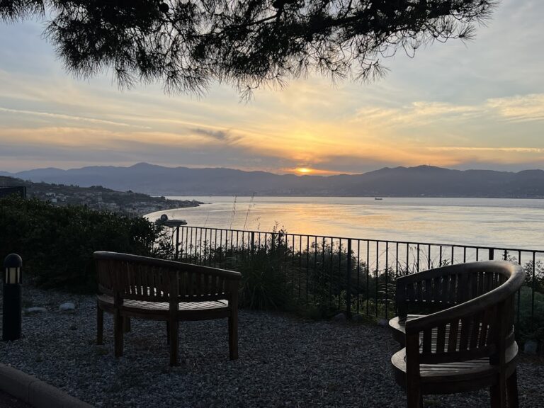
The park covers about 3 hectares on the central part of a plateau overlooking the Costa Viola, roughly 76 metres above sea level. Its remains include public, sacred, and private buildings from Bruttian and Roman settlement.
Settlement layers
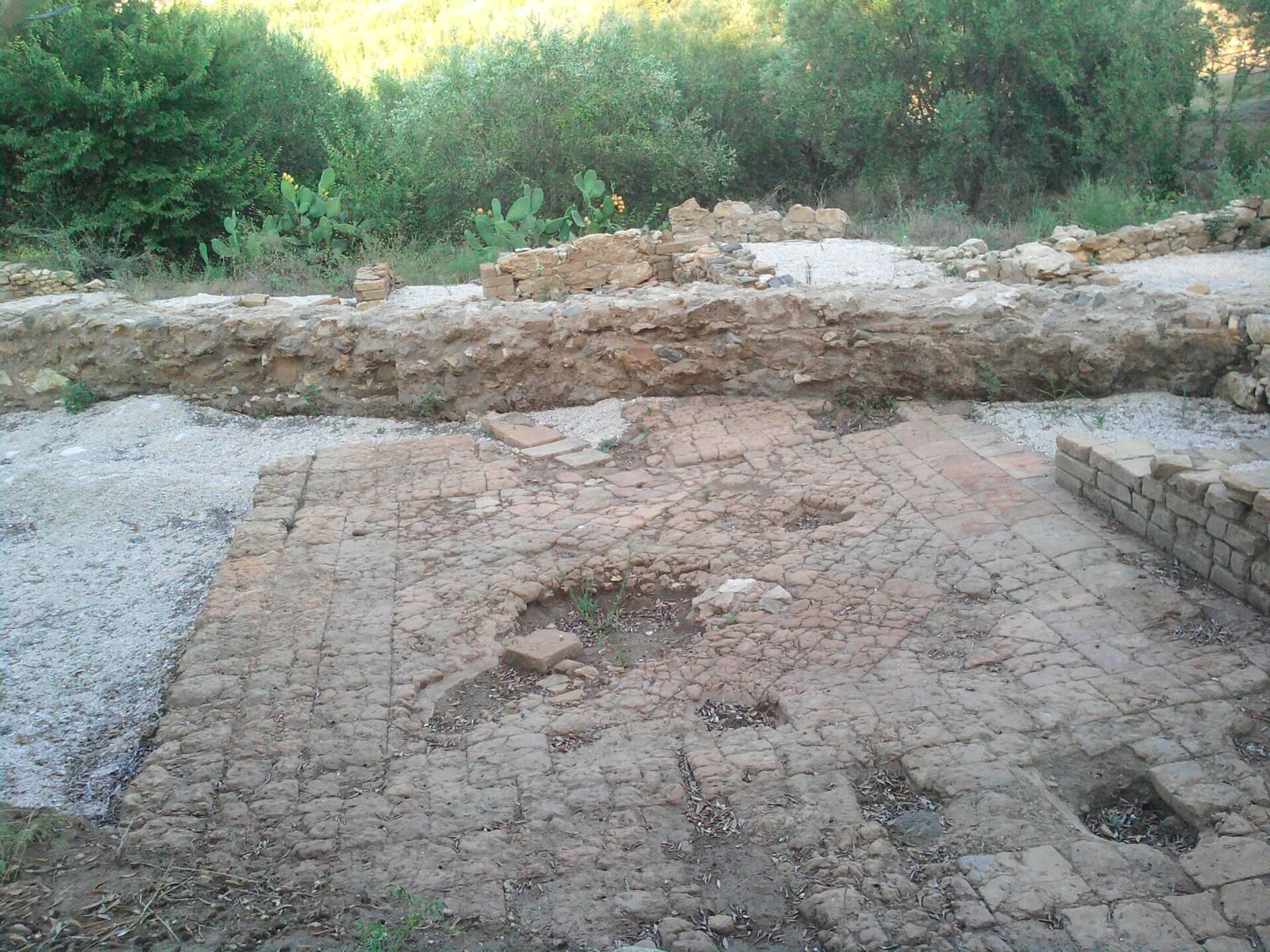
In the southern part of the plateau, a residential quarter preserves Roman structures built over Bruttian ones on both sides of a road. Beneath this later settlement lie Bronze Age huts, built with high stone walls and roofs of perishable materials.
Road and entertainment building
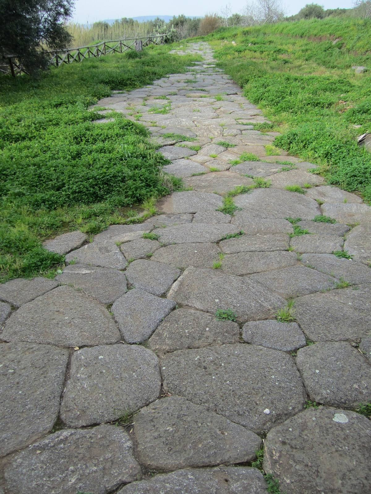
Roman road
A major urban road retains paving made from hard local stone. It led to the steps of the entertainment building and continued beyond the city toward the Via Popilia, a Roman road linking Reggio Calabria and Capua on the route to Rome. Built in 132 BCE under the consul Publius Popillius Laenas, the Via Popilia formed an important connection toward the capital.
Amphitheatre
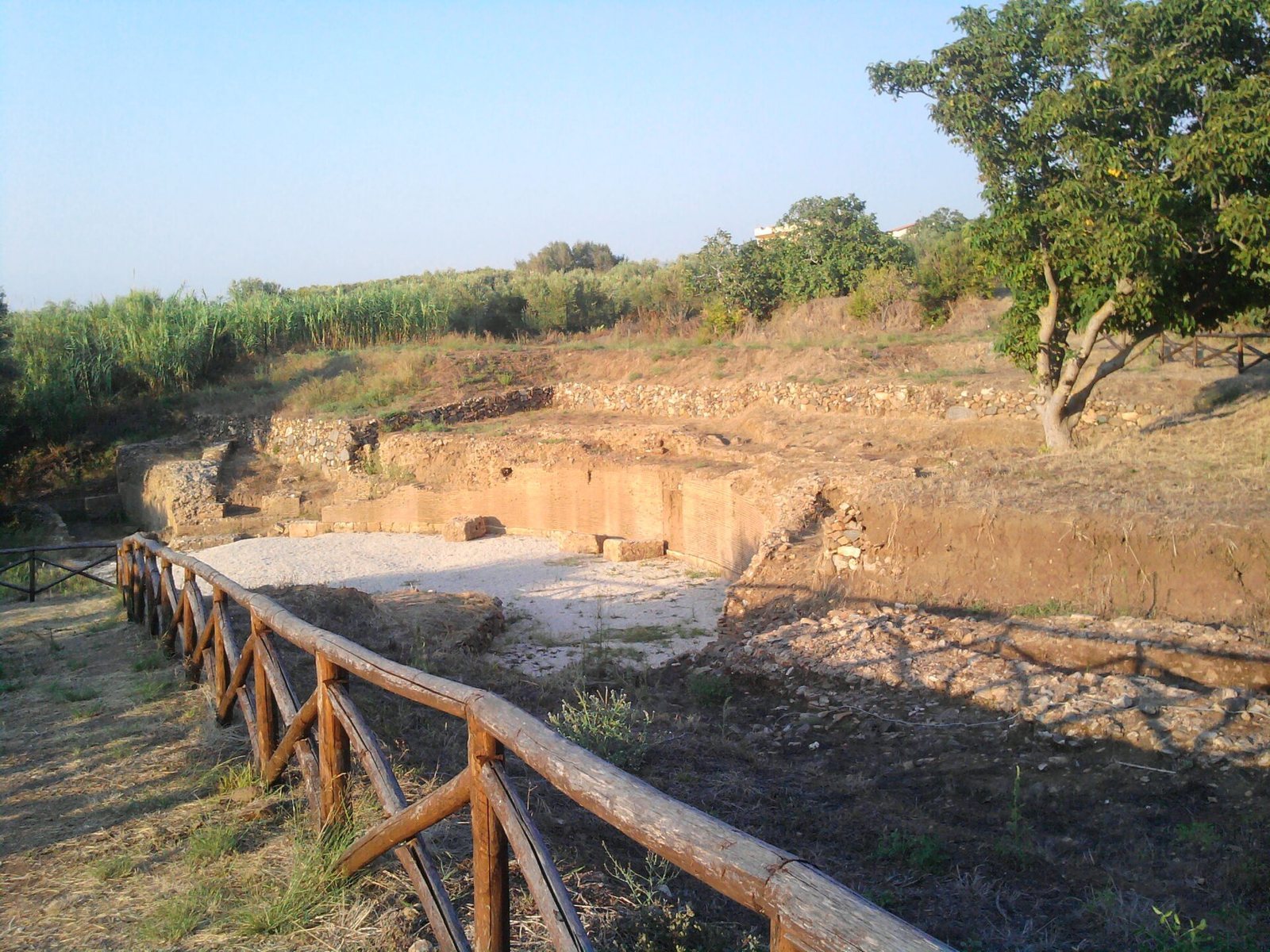
The circular entertainment building resembles a theatre in form but was built as an amphitheatre for spectacles such as gladiatorial contests. It could also host theatrical performances on occasion and had an estimated capacity of about 3,000 people.
Bruttian residence
The first-century BCE House of the Mosaic includes a room identified as a banquet hall. Its central mosaic depicts two horsemen and a spear-bearer around a wounded bear beneath a large tree, with a dog, a feline, and a boar nearby. The scene measures 0.78 by 0.66 metres and uses a fine mosaic technique in which small tiles follow the forms of the figures. A bronze bed decorated with silver and precious stones was also recovered from the room; it is now displayed at the National Archaeological Museum of Reggio Calabria.
Roman sanctuary
Temple and sacred area
Also called the urban sanctuary or the House of Donna Canfora, the sanctuary stands at the western edge of the plateau, near its northern edge. Its sacred area was dedicated to a deity. The temple faces northeast near the steep coastal edge, where it could be seen by people approaching by sea from the north. Visible remains include a podium about 10 by 20 metres and a covered colonnade, or portico, running around three sides of the building.
The temple follows an Etruscan-Italic podium design, with the building raised on a high platform and commonly approached by stairs. Its square podium is made of Roman concrete and rests on a 2.25-metre foundation set on natural bedrock. Brick facing survives in part, and a few bricks preserve an impressed stamp reading “(C) Numitori,” a mark also found on bricks recovered elsewhere in Tauriana. The complex originally had facing and decoration in local stone, marble, and stucco. Low walls remain at foundation level around the portico, while faint lines on the platform run east to west and north to south; their interpretation as an interior division or an altar is uncertain.
Local tradition identifies the sanctuary with the palace of Donna Canfora. In the story, pirates abducted her while she was buying fine goods at the shore. Rather than be separated from her family, she leapt from their boat.
Earlier channel
A square channel bearing stamped marks lay about 2 metres west of the temple and was covered during construction of the sanctuary.
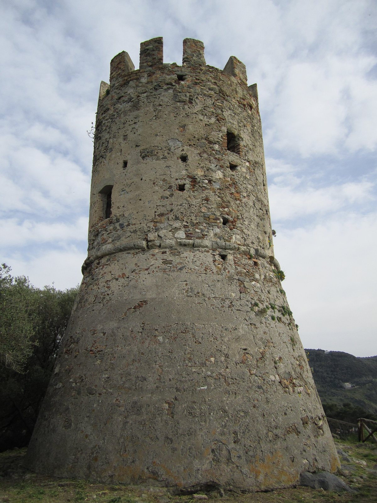
Tower and park sculptures
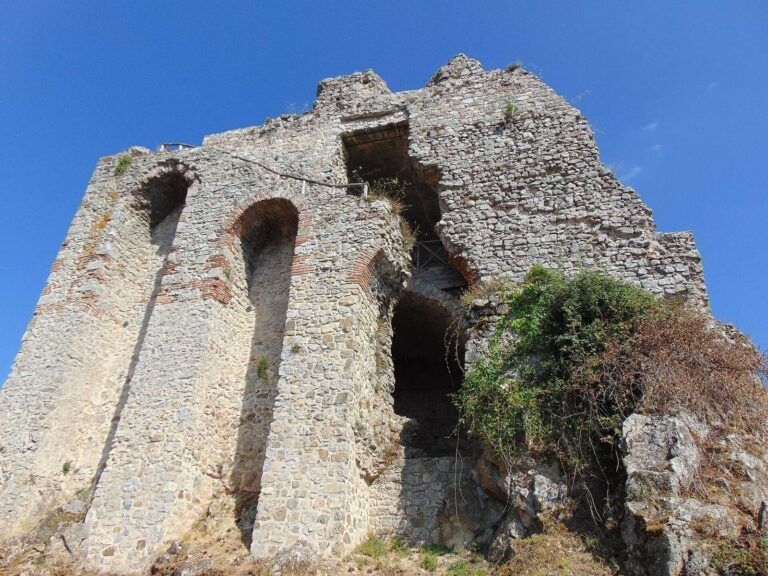
The sixteenth-century Saracen Tower, also known as the Aragonese Tower of Pietre Negre, forms part of the park. Six white-marble sculptures were installed there in July 2012 for the Marmytos 2012 symposium. Their artists were Maurizio Carnevali, Patrick Crombé, Raymond Lohr, Marit Lyckander, Luca Marovino, and Maria Rucker.