Horvat Mazad: A Fortified Site on the Jaffa-Jerusalem Road
Site at a Glance
- Popularity
- Medium
- Country
- Israel
- Primary era
- Classical
- Eras represented
- Classical, Medieval
- Civilizations
- Byzantine, Roman
- Site type
- Military
- Remains
- Fort
On this page20 sections
History
Horvat Mazad is an ancient fortified site on a hilltop in Israel, about 16 kilometres west of Jerusalem. Its first major fort was Hasmonean, probably built during the reign of Alexander Jannaeus (103–76 BCE). The Hasmoneans were a Jewish ruling dynasty in Judaea. The site guarded the ancient Jaffa-Jerusalem road along the ridge between Emmaus and Jerusalem, where it could monitor movement between the coastal plain and the Judaean Mountains. It may have formed part of a wider defensive network protecting approaches to Jerusalem, possibly including sites near Givat Shaul and Emmaus.
Early activity and Hasmonean fortification
Intermittent activity began in the Late Bronze Age and continued in the Iron Age II and Persian period, when the region was under Achaemenid Persian rule. These early phases appear to have been agricultural. The site’s ancient name is unknown. In the nineteenth century it was known by the Arabic name Khirbet al-Qasr, meaning ruins of the fort. The modern Hebrew name Horvat Mazad has the same meaning and derives from that Arabic name.
The Hasmonean fort may have been built before Jannaeus’s reign, though that date is less certain. It seems to have been abandoned soon after his death in 76 BCE. The site then remained unoccupied until construction began again around 40–37 BCE.
Herodian expansion
Under Herod the Great, Rome’s appointed king of Judaea, the site was greatly enlarged and developed as a fortified complex. It may initially have served as a roadside station, while archaeologist Yizhar Hirschfeld considered a fortified manor house more likely. The settlement appears to have reached its peak in the first century CE.
War and Roman use
Horvat Mazad was probably abandoned around 68–69 CE during the First Jewish–Roman War, the revolt against Roman rule that began in 66 CE. Roman forces may have assembled at nearby Emmaus before advancing on Jerusalem. Archaeologist Moshe Fischer interpreted the thickened walls as preparations for that advance. Three bronze coins from the second and third years of the revolt indicate that the site remained occupied for part of the conflict.
After the settlement was abandoned, it was not resettled, though Roman forces may have used the site intermittently as a temporary patrol post. The nearby road continued to be used in later Roman times.
Byzantine and Early Islamic periods
During the Byzantine period, the eastern continuation of the Roman Empire, a small fort was built on the hill, probably in the sixth century. It likely served as a police post along the route to Jerusalem and helped protect Christian pilgrims. In the Early Islamic period, the fort and its surroundings continued in use and were altered. The area also functioned as a rest stop, and a roadside inn was built south of the Roman road. Burials from the eighth and ninth centuries belong to this period.
Later medieval and Ottoman use
The small quantity of Crusader-period pottery suggests that Crusaders, participants in military expeditions by Latin Christian powers to the eastern Mediterranean, may have preferred other routes when traveling to Jerusalem. In the Mamluk period, when a military ruling class governed Egypt and the Levant, the site served intermittently as a way station. It remained in limited use as a rest stop under the Ottoman Empire, which was centered in Anatolia and ruled much of the eastern Mediterranean.
Surveys and excavations
Surveys began in the nineteenth and early twentieth centuries. In the 1880s, Claude Reignier Conder and Herbert Kitchener, as well as Charles Simon Clermont-Ganneau, recorded ruins at the site; Conder and Kitchener proposed that it had been a station on the Roman road. Further surveys in the 1910s and 1920s recorded remains and nearby milestones. During the British Mandate, Dimitri Baramki prepared a plan, description, and photographs in 1942, and S. A. S. Husseini inspected the site in 1947. A 1972 survey produced a detailed plan that informed excavations led by Moshe Fischer in 1977, 1978, and 1980, with Mordechai Gichon co-directing the first two seasons. Further surveys and soundings followed in 1984 and 1998 as part of broader research into ancient roads and settlement between Emmaus and Jerusalem.
Remains
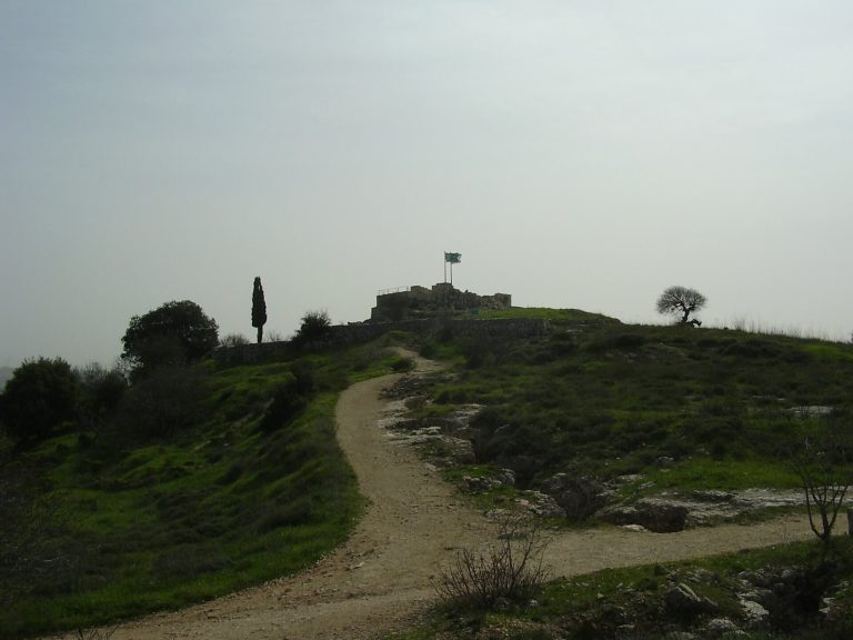
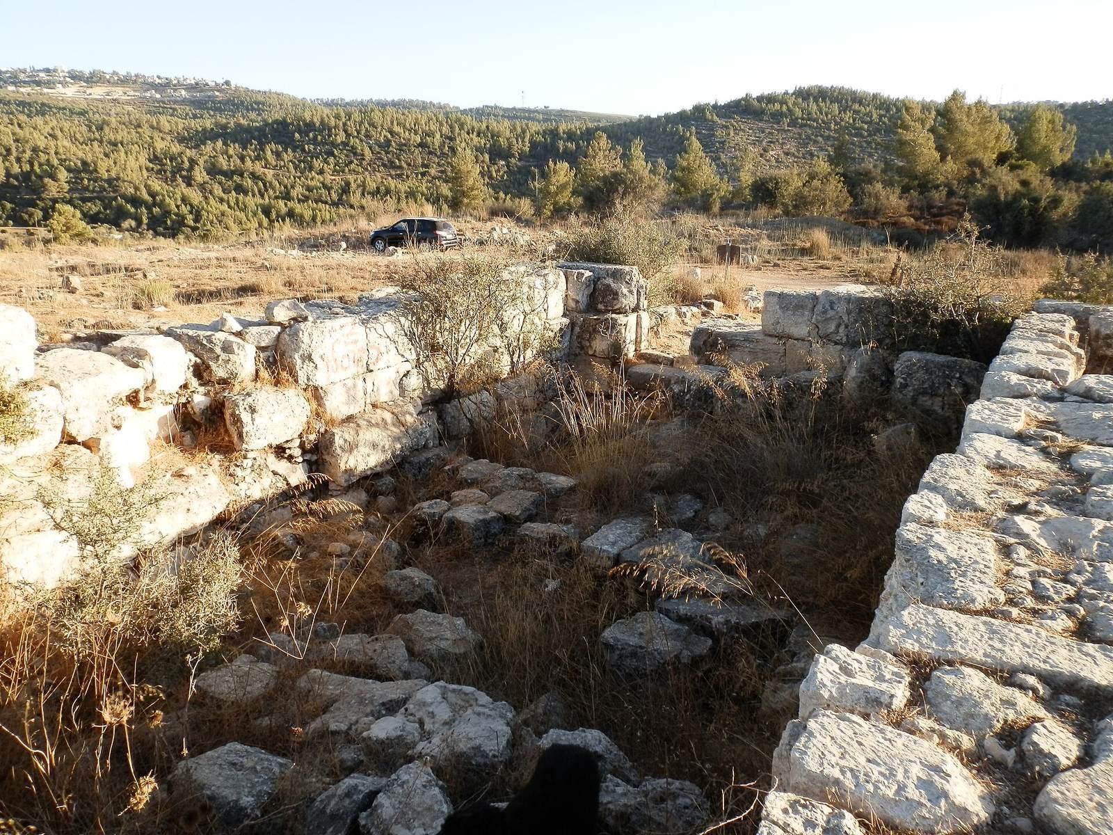
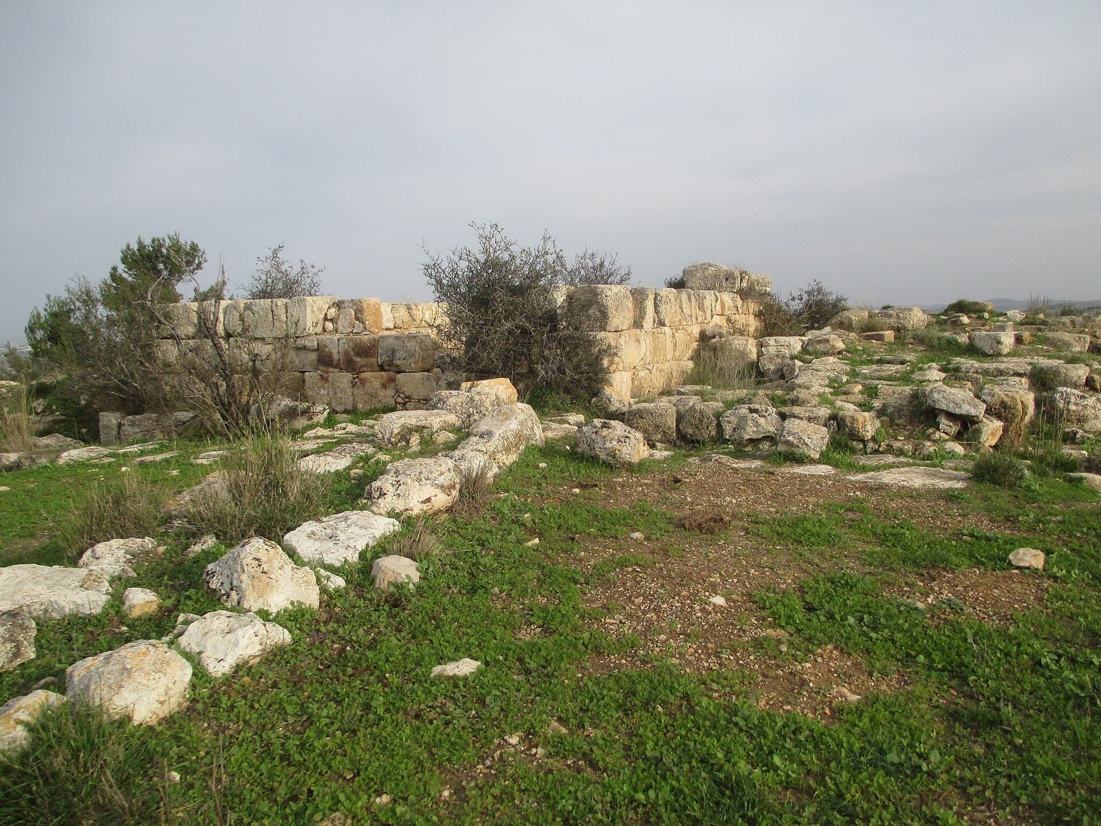
The ruins occupy a hilltop about 530 metres above sea level. Steep slopes edge the site to the west, north, and east, while the ground descends more gradually south toward a riverbed. Fortified remains cluster on the summit, where later buildings reused earlier foundations and building plans. Other remains include agricultural and water installations, and a substantial inn stood south of the ancient road.
Early traces
Finds from bedrock cracks and pits include pottery from the Late Bronze Age, Iron Age II, and Persian period. An offering vessel, a Judean stone weight, and a scarab, a beetle-shaped amulet or seal, date to the eighth and seventh centuries BCE. Persian-period finds include fragments of a grinding bowl and two basalt bowls.
Hasmonean fort
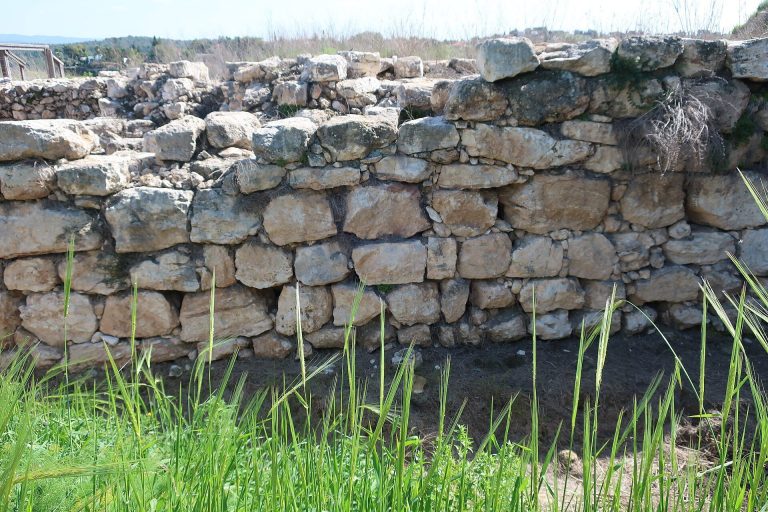
The Hasmonean fortified complex covered about 200 square metres. Its plan included a square watchtower and a simple courtyard, with four rooms arranged around a narrow corridor that may have held a stairway or ladder to the flat roof. An eastern forecourt provided access and contained further rooms. The builders levelled the bedrock and used dry masonry, stonework laid without mortar. Large, roughly cut blocks formed the foundations, and the enclosing wall was about 1.2 metres thick. Dressed blocks with projecting centres were also found. Fifty-six Hasmonean coins came from the site; 51 were issued by Alexander Jannaeus, the largest group associated with a single ruler found there.
Herodian complex
Enclosing plan and rooms
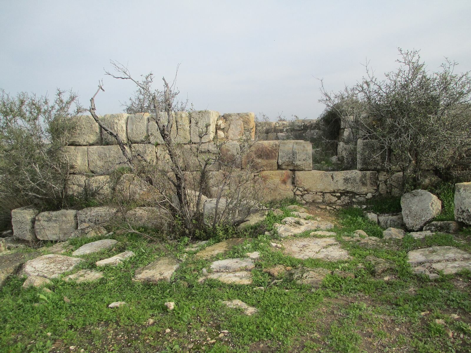
The expanded complex covered about 1,600 square metres and had a surrounding wall about 1.3 metres thick. Its builders incorporated the levelled foundations and central core of the Hasmonean fort, adding residential quarters and other installations. Large, roughly cut stones and reused dressed blocks with finished edges and projecting centres formed the masonry. In the western part, rooms between the central core and outer wall created casemate spaces, defensive rooms that could also be used for storage.
Ritual bath
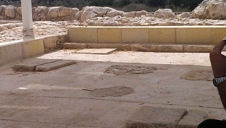
A rock-cut mikveh, a Jewish ritual bath used for purification, had seven steps leading down to its floor. A complete Herodian oil lamp was found lodged in a crack in one wall. Tombs constructed in the Early Islamic period damaged the bath.
Road and Roman-period finds
Roman-period finds include pottery from the first and second centuries CE, a stamped oil lamp associated with Roman supply lines, and a coin of the Roman Tenth Legion, Legio X Fretensis, dated to about 76–77 CE. A reused fragment of a roadside milestone found at the site bears a date of 162 CE.
Byzantine and Early Islamic remains
Summit fort
The Byzantine fort measured about 11 by 7 metres and stood directly over the Hasmonean and Herodian remains. It reused their foundations and layout. A vaulted eastern wall, first noted in 1942, was later identified as part of the Byzantine fort. Nine coins from the period include issues from the reigns of the emperors Anastasius I and Justinian.
Early Islamic alterations and burials
During the Early Islamic period, builders added partition walls and ovens inside the fort, raised its floor, and constructed enclosure walls around the surrounding area. Twenty-two tombs from the eighth and ninth centuries were aligned east–west toward Mecca. Jewelry, coins, and textile fragments were associated with the burials. Other finds from this period include Umayyad pottery and coins, among them imitations of Byzantine coin types and issues produced after monetary reforms.
Roadside inn
South of the Roman road, the roadside inn had a vestibule, a courtyard with two aisles, and adjoining rooms.
Water and agricultural installations
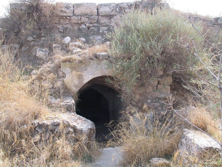
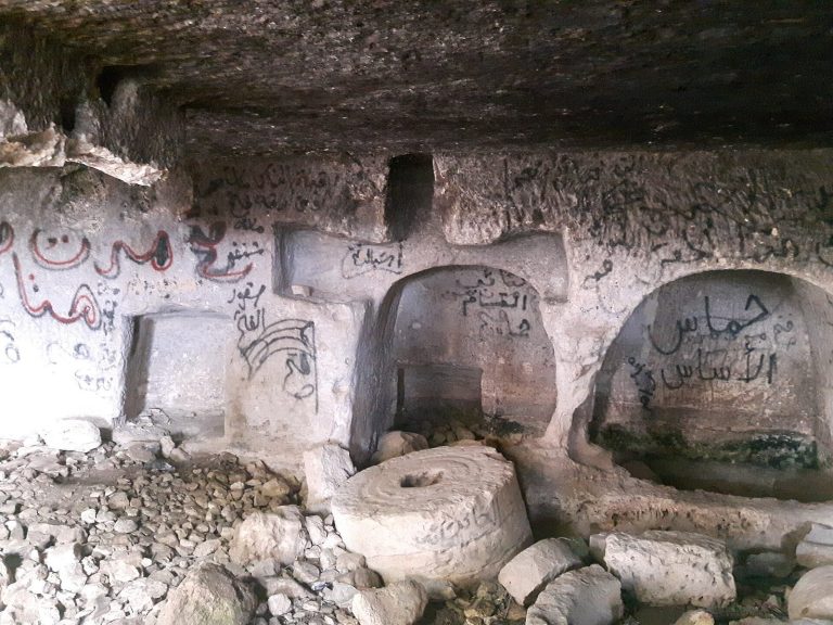
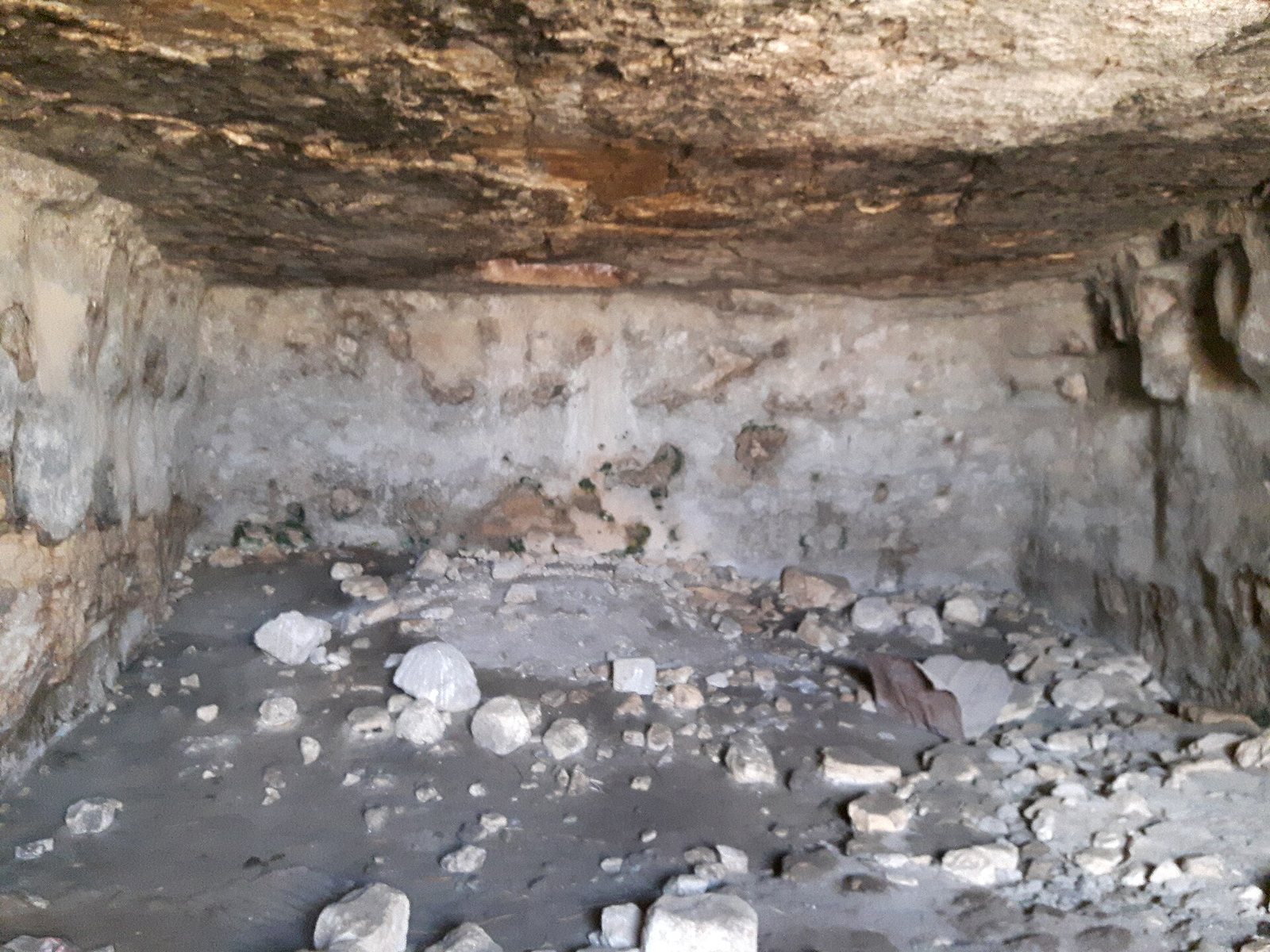
The site also contains cisterns, vaulted structures, a cave, and carved and plastered spaces. Agricultural remains include plastered water reservoirs and baking ovens.
Later archaeological finds
Crusader-period pottery is present in small quantities. Mamluk and Ottoman activity is represented by ceramics and coins, while Ottoman-period finds also include fragments of clay pipes. The site now survives in ruins.