Ogōri Kanga Ruins: A Seventh-Century District Administrative Complex in Japan
Site at a Glance
- Rating
- 3.8
- Popularity
- Medium
- Country
- Japan
- Primary era
- Medieval
- External website
- Open
- Eras represented
- Medieval
- Civilizations
- Yamato
- Site type
- Civic
On this page7 sections
History
The Ogōri Kanga ruins in present-day Ogōri, Fukuoka, Japan, are the remains of a local administrative compound built in the latter half of the seventh century for Mihara District in Chikugo Province. A kanga was a local administrative center. Ogōri served within the Ritsuryō system, a centralized government organized through laws and administrative codes.
Foundation and earthquake
Three buildings mark the complex’s earliest phase in the latter half of the seventh century. The Great Chikugo Earthquake destroyed the site in 678.
Rebuilding and changing role
Rebuilding in the early eighth century began a second phase, followed by a third from the middle to the later eighth century. During this later phase, civil administration may have moved to Shimotakahashi Kanga, leaving Ogōri with a primarily military function. This proposed change reflects the complex’s changing role within the district.
Kamiiwata and later recognition
The nearby Kamiiwata site was occupied from Japan’s prehistoric Jōmon period, associated with hunter-gatherer communities and cord-marked pottery, through the Nara period (710–794). A Buddhist temple there, dating from the late seventh to the early ninth century, appears to have been connected with Ogōri Kanga.
Excavations begun in 1967 identified three phases of activity at Ogōri. The ruins became a National Historic Site in 1971, and the protected area was enlarged in 2001.
Remains
Ogōri Kanga
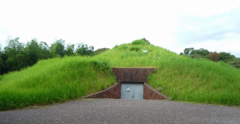
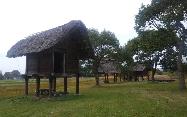
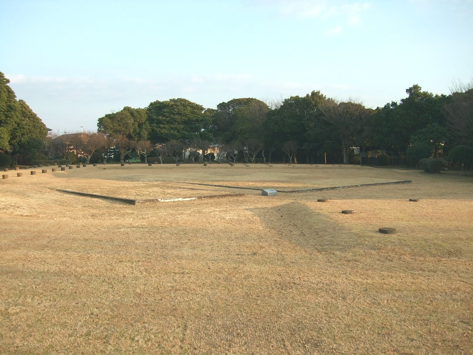
The complex occupies a low plateau in the northern Chikugo Plain. Its buildings were supported by posts set directly into the ground and arranged in an orderly layout. In the earliest phase, three structures thought to be storehouses had pillars across their full floor areas and an axis 10 degrees west of north. The early eighth-century layout shifted to an axis 40 degrees east of north, with a U-shaped eastern group thought to be the district office, kitchen buildings to the west, and storehouses to the north. The later layout returned to an almost north–south axis and included similar facilities. Finds include roof tiles, inkstones used to prepare ink, pottery bearing writing, and more than a thousand iron arrowheads from a ditch beside a building thought to be an armory. Some finds are displayed at the Ogōri City Buried Cultural Properties Research Center. Part of the ruins has been developed as an archaeological park.
Kamiiwata
The Kamiiwata remains occupy a fan-shaped plateau on the left bank of the Homan River. Excavations in 1996–1999 established that the remains cover 16.6 hectares. The excavated area includes pit-dwelling remains, buildings supported by posts set into holes, graves of several forms, and the remains of the Buddhist temple associated with Ogōri Kanga.