Ringgenburg (Schmalegg): An Iron Age Hilltop Fortification
Site at a Glance
- Rating
- 4.5
- Popularity
- Very Low
- Country
- Germany
- Primary era
- Iron Age
- Eras represented
- Iron Age, Medieval
- Civilizations
- Unclassified
- Site type
- Military
- Remains
- Fort
On this page9 sections
History
Ringgenburg is a hilltop fortification and refuge near Schmalegg, a district of Ravensburg, Germany. Its construction date remains uncertain, but the site is provisionally assigned to the European Iron Age.
Possible Iron Age origins
Ravensburg city archivist Alfons Dreher proposed a date in the late Hallstatt or La Tène period. These were successive cultural phases of the European Iron Age. Paul Eith, a liaison for the State Archaeological Office, favored a Hallstatt-period date.
Later associations
The innermost bank may have been raised during raids by Hungarian forces. Ringgenburg was once confused with the medieval castle site of the same name near Esenhausen, encouraging the belief that a castle also stood on the Schmalegg height. The knights of Schmalegg, later titled cupbearers, had their ancestral castle at the eastern end of a neighboring ridge. A cupbearer was a court official responsible for serving wine. Their kinship with the knights of Rinkenburg near Esenhausen ran through the ministerials of Biegenburg near Blitzenreute, members of a service-dependent class who served rulers or lords.
Thirty Years’ War
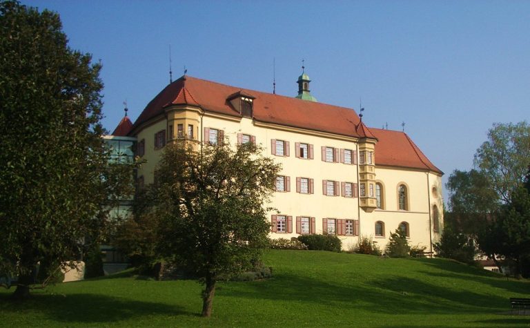
The name “Swedish entrenchments” refers to an event, not to the fort’s builders. In spring 1647, during the Thirty Years’ War, a European conflict fought from 1618 to 1648, Swedish troops fired from this position on Schmalegg Castle and set it ablaze.
Remains
The fort occupies a narrow ridge projection in the Schmalegger Tobel near Schmalegg. The ridge is about 1.5 km long and 100 m wide, at an elevation of 570 m. Three earthen banks, each with a ditch to its west, enclose about 10 hectares. Wooden stake barriers, hedges, or stone obstacles may also have strengthened the defenses.
Defensive earthworks
Outermost bank
The outermost bank lies about 900 m west of the ridge tip. Before disturbance, it reached about 8 m in height in some places. Its western ditch was deeper and wider than the ditch in front of the middle bank.
Middle bank
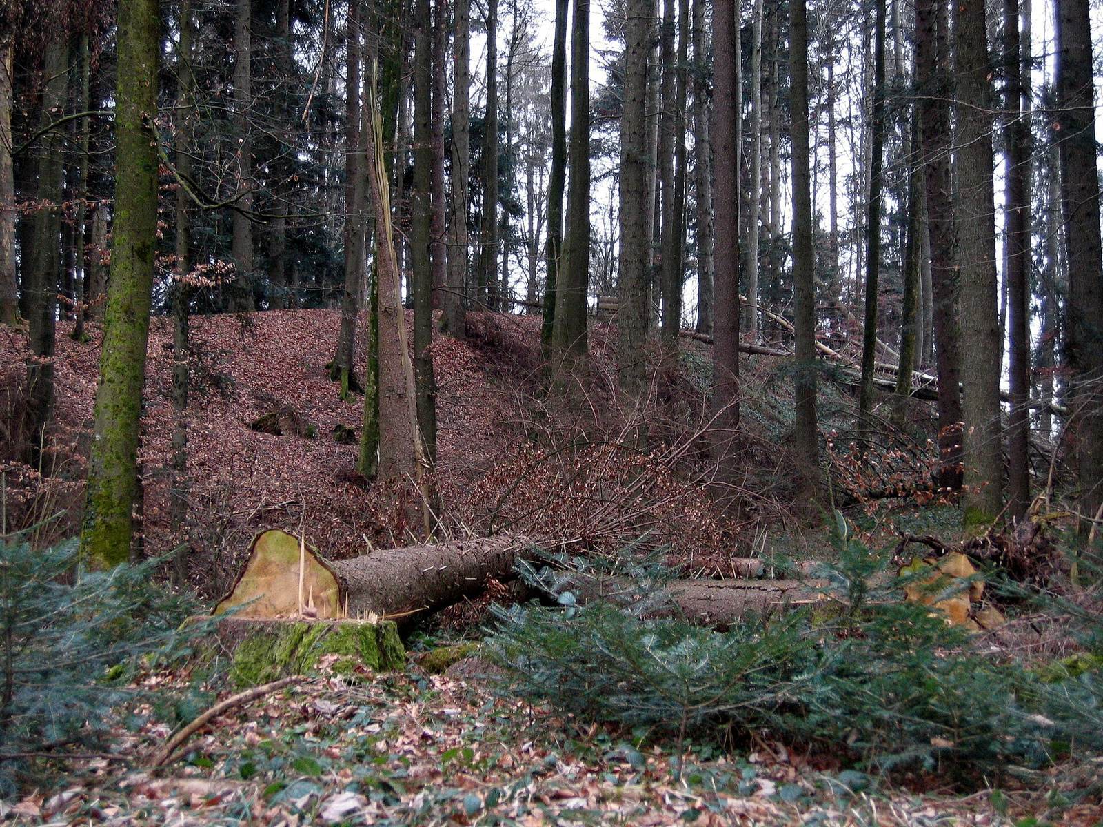
About 660 m from the end of the ridge, the middle bank is now within woodland. Its western side formerly had a ditch, with a bank of excavated earth in front.
Innermost defenses
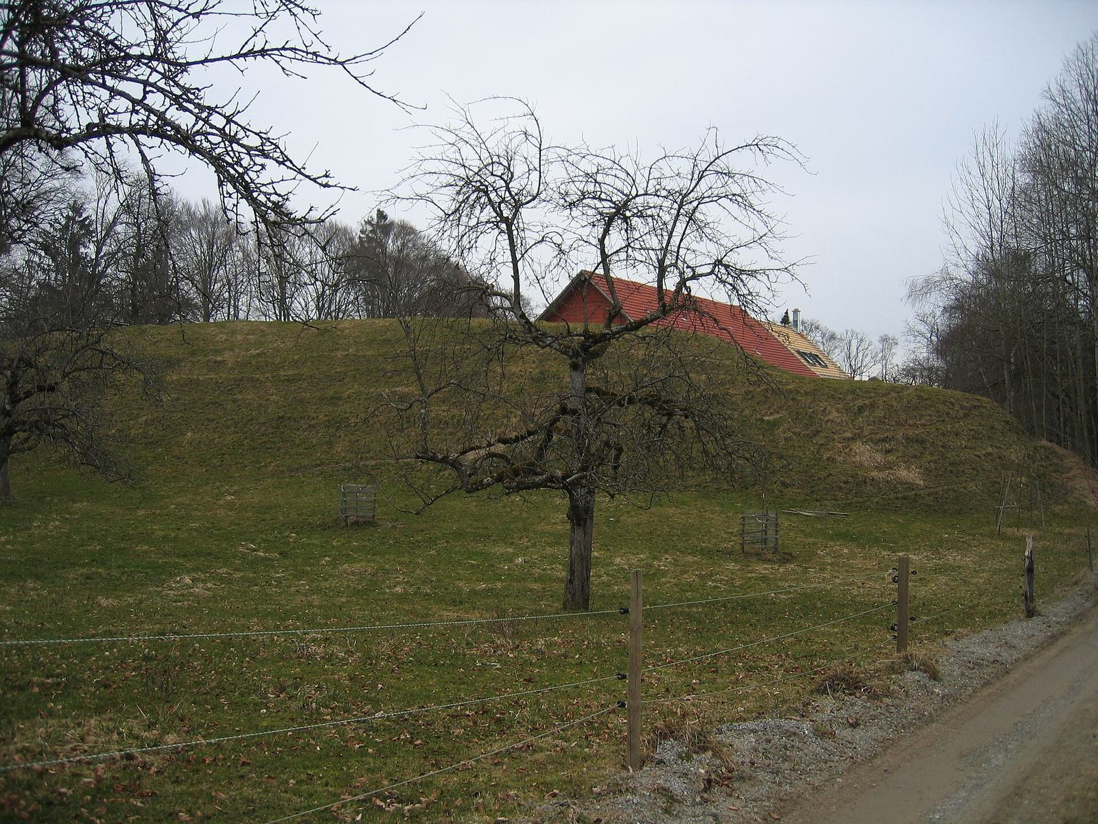
The inner defenses comprise a forward bank and a main bank behind it. The forward bank, about 265 m from the ridge tip, stood 3–4 m high; the main bank, about 200 m from the tip, reached 8 m. A further ditch, roughly 100 m west of this double defense and about 300 m from the ridge tip, has been levelled. A thorn barrier or wooden stake fence at that position is conjectured. The plateau is used for agriculture, and Schmucker farm lies behind the innermost bank.