Arakelots Vank: A Medieval Armenian Apostolic Monastery
Site at a Glance
- Popularity
- Medium
- Country
- Armenia
- Primary era
- Medieval
- Eras represented
- Medieval
- Civilizations
- Armenian, Mongolian
- Site type
- Religious
- Remains
- Fortified Monastery
On this page14 sections
History
Medieval monastery and regional setting
Arakelots Vank, whose name means Monastery of the Apostles, is an abandoned monastery of the Armenian Apostolic Church in Armenia. It belonged to the Gugark Diocese, a regional church jurisdiction. The monastery and its associated village formed a substantial settlement in a densely populated medieval landscape of valleys and mountains.
Kayen, a medieval Armenian province, served as a trading gateway linking Georgia and Aghvank, the Armenian name for the historical region of Caucasian Albania in the eastern Caucasus, with central Armenia’s economic, political, and cultural centers. Inscriptions preserve evidence of the area’s history.
An inscription at the entrance, dated 1245, is thought to indicate when the monastery’s entrance hall was built. It names Khutlu Bugha Artsruni, an atabek (a prince’s guardian or regent) and amirspasalar (commander-in-chief), son of Sadun, lord of Mahkanaberd. The inscription’s speaker, a descendant of the named family, says that he joined the monastery. The text also records an endowment supporting two annual liturgies on the feast celebrating the discovery of St Gregory the Illuminator’s relics. Gregory is traditionally regarded as Armenia’s evangelizer and the first head of its church.
The monastery is abandoned today. In March 2025, it and the adjoining ruins of the ancient village were included on a list of European heritage sites considered at especially high risk of destruction.
Remains
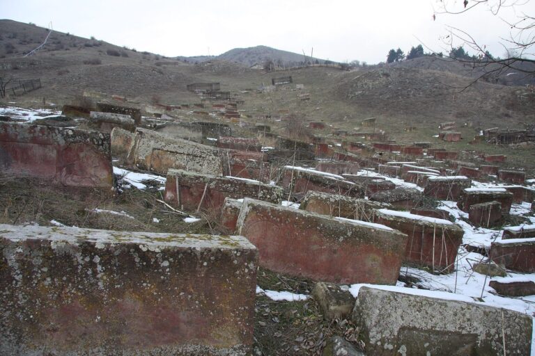
The complex occupies a rocky hilltop on the left bank of the Kunen River, amid forested slopes. Its fortress follows a narrow ridge north to south above the settlement and beside a ravine. Churches, an entrance hall, a porch, a bell tower, a cemetery, a carved stone cross, and residential and service buildings occupy the fortified site.
Fortress and entrances
Defensive walls and setting
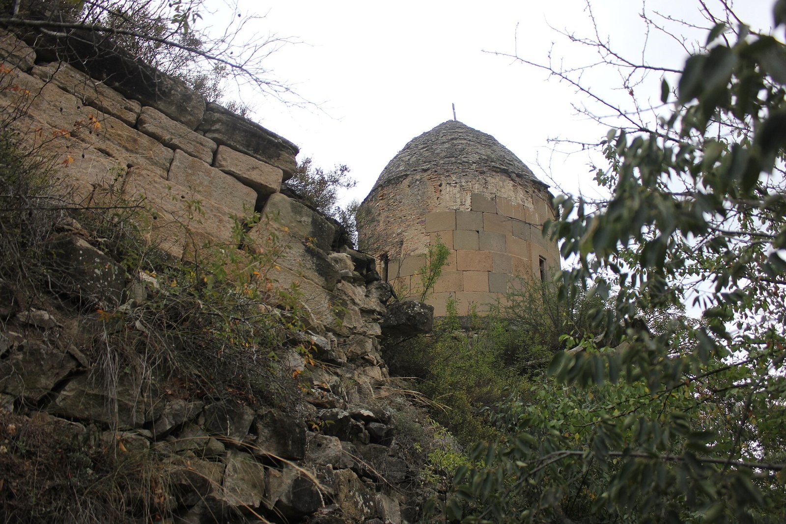
The fortress measures about 135 by 32 metres. Its thick walls are built from large stones bonded with lime mortar. North and northwest stretches survive with four towers. A narrow neck connects the northern approach to the settlement, where a high wall and closely spaced towers defend the entrance. The western side overlooks a deep ravine, while the southern end descends steeply toward the settlement. The eastern side faces a long valley and was the most accessible and vulnerable approach.
Gates
The fortress had three gates, two of which remain standing. A small gate midway along the western wall opened above the ravine and linked the fortress with the settlement below. Inside it are remains of a square entrance structure built from dressed stone. A medium-sized gate in the southwest lies in a wall joining two large buildings. A small triangular outer court stood before it, and another gate was positioned farther out in the fortification wall. The largest gate was centered in the eastern wall, facing the ravine.
Churches and associated buildings
Main church
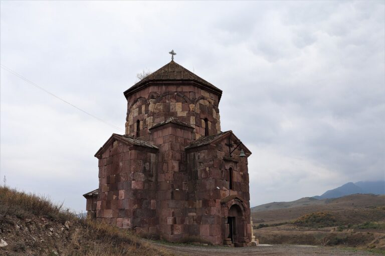
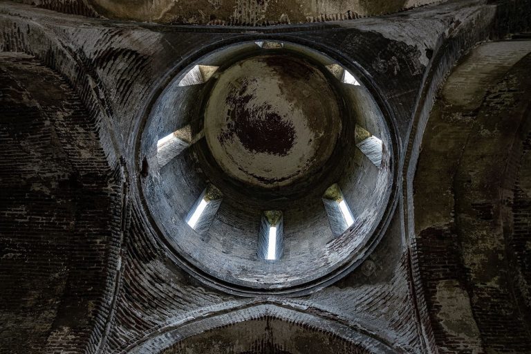
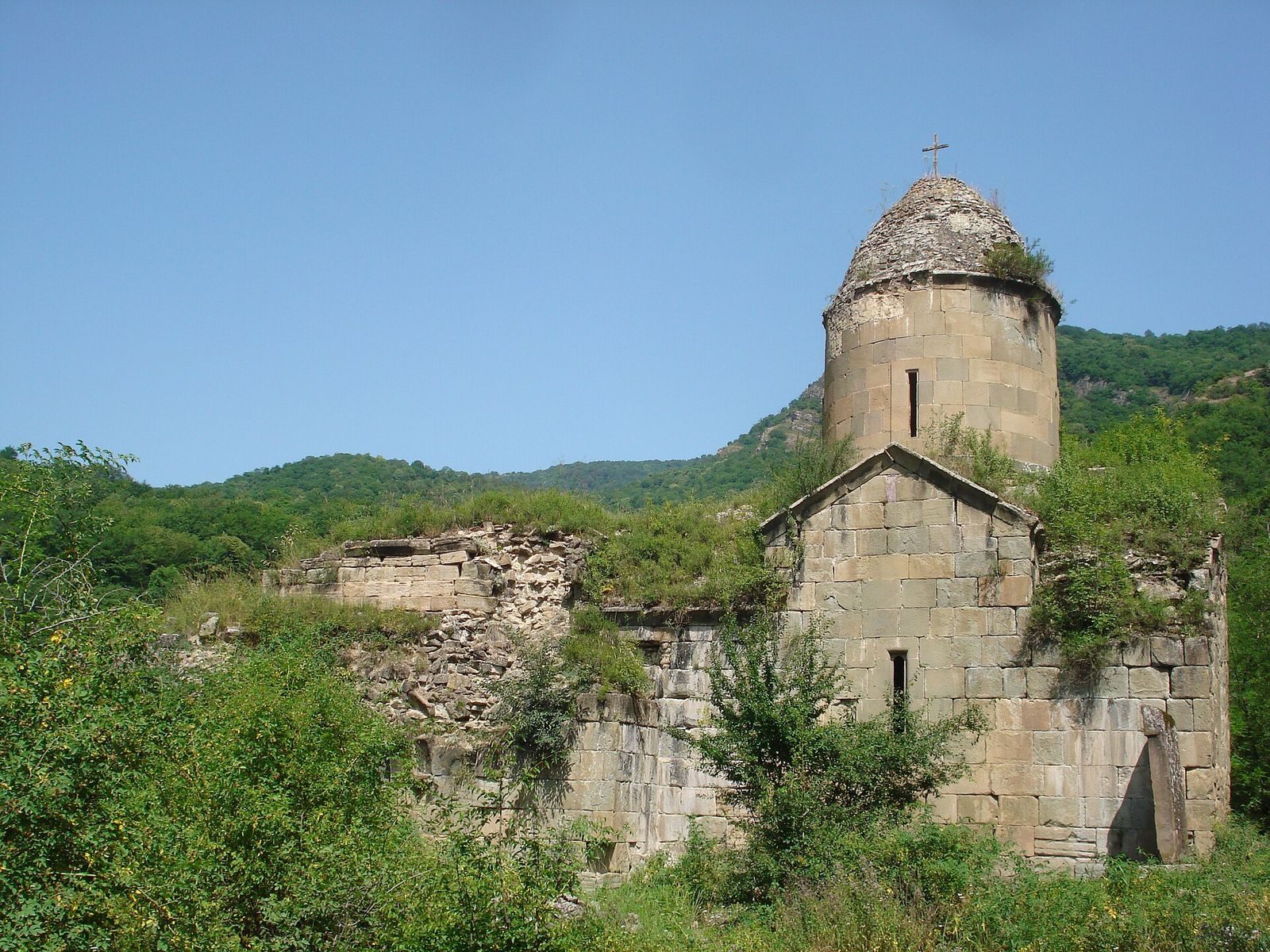
The main church stands at the fortress’s northern end and uses the fortification wall as its north wall. Dating to the 13th century, it is a small domed building with a rectangular exterior and an interior arranged in the form of a cross. Its exterior measures about 10.25 by 7.45 metres. Cut stone in pale, yellow, and blue tones faces the outside, while lime plaster covered the interior. A tall, round drum, the cylindrical section beneath a dome, supports the pointed dome.
Six small windows light the church: four at dome level, one in the south wall, and one in the eastern face of the apse, the sanctuary end. A large, deep apse occupies the east end, with a raised altar reached by three steps from the south. Arches carrying the dome rest on masonry supports attached to the north and south walls, set about half a metre inside the edge of the apse. The western entrance opens from the later-built entrance hall.
The church has a single-slope roof, raised on its north side and joined to the fortress wall so that it slopes down toward the south. Above the northern roof edge, a covered, trench-shaped channel was designed to reduce pressure on the church vault and keep rain and snow from entering the gap between church and wall. Slabs paved the floor and roof, and fragments of wall paintings survive. Earthquakes cracked the east and south walls near their windows and the west wall above the entrance. The pointed dome covering, roof slabs, and upper stonework on the south and east sides are displaced.
Entrance hall
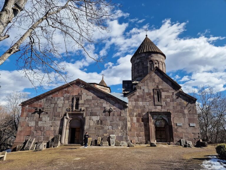
The square entrance hall, built after the main church, measures about 10.4 by 9.5 metres. It is faced with dressed stones in pale, yellow, and blue tones. Intersecting arches support its roof, with paired supports at the west wall, paired half-supports at the south wall, and two supports on each of the other walls. The upper rows of stone follow an arch-like pattern. The fortress walls also form parts of the hall’s north and east sides.
At the center, the intersecting arches frame a square roof opening known as a yerdik. Stone slabs about 20 centimetres thick cut across its corners in successive rows, making the opening narrower as it rises. A low-set window in the west wall provides additional light and faces the ravine and the settlement on the opposite slope.
Porch and bell tower
A small, irregularly shaped square porch stands before the entrance hall’s doorway. It was arched and vaulted, with a pillar at its southeast corner supporting the arches. A broad arched niche occupies the west wall. Inscriptions appear on the south doorway, at the base of the porch’s western arch, and on the support beneath it.
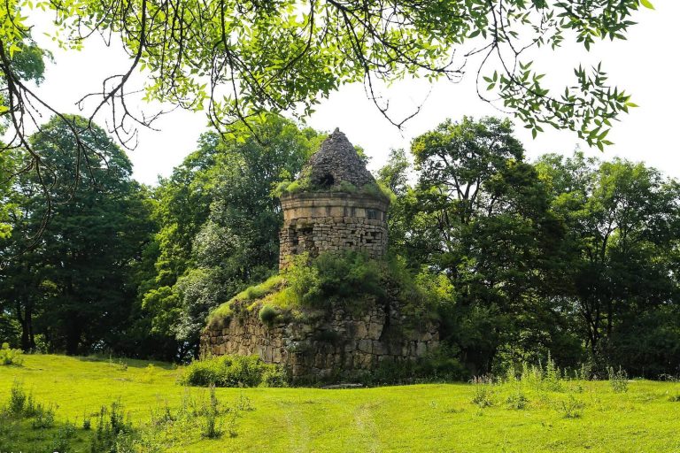
A square, vaulted bell tower adjoins the porch’s southwest corner. Much of the tower is ruined, but its supports and arches remain, together with dedicatory inscriptions on the southwest support.
Smaller church and service buildings
The smaller church, dating to the 14th century, stands south of the fortress’s main entrance beside its eastern wall. It is an elongated, square-planned church with a single nave and a vaulted interior. Large sandstone blocks form its walls, and its pitched roof is covered with earth. The south entrance is near the southwest corner. Four narrow windows include two positioned one above the other in the west wall. The church remains standing.
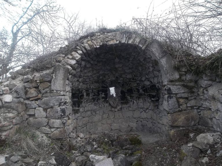
Several metres south of the church are the ruins of a large building thought to have served as the monastery’s dining hall and kitchen. A nearby building served as a reception hall. Monks’ rooms were built against the outer walls; some may also have functioned as prison cells. Most residential, service, and other secondary buildings are now ruins.
Memorial and village remains
Carved cross monument
A khachkar, a carved Armenian stone cross monument, stands on a pedestal against the main church’s south wall. Dedicated to St Karapet, or St John the Baptist, it is carved from reddish volcanic stone. Vegetal and geometric patterns surround an image of Christ above the cross, with an angel on either side. Its inscriptions include a verse and a text framing the cross.
Historic village and nearby church
Remains of the historic village extend along both banks of the river and include a bridge, a caravanserai, or roadside inn, baths, churches, and other buildings. The caravanserai lies about 80 metres downhill from the monastery.
About two kilometres northeast, at Khndzorut, stands a small church. A khachkar is also associated with the site, though its precise location is uncertain.