Grüner Pütz: A Roman Spring Intake of the Eifel Aqueduct
Site at a Glance
- Popularity
- Medium
- Country
- Germany
- Primary era
- Classical
- Eras represented
- Classical, Early Modern, Modern
- Civilizations
- German, Holy Roman Empire, Roman
- Site type
- Infrastructure
- Remains
- Aqueduct
On this page11 sections
History
Roman water supply and road
Grüner Pütz is a Roman spring intake in the Urft valley at Nettersheim, Germany. It formed part of the Eifel aqueduct, an engineered system for carrying water, which supplied drinking water to Cologne during the second and third centuries AD.
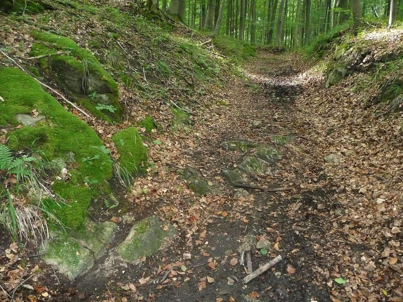
The Agrippastraße was part of the long-distance Roman road between Trier and Cologne, running via Jünkerath, Marcomagus and Zülpich. From Zülpich, travelers crossed the Urft and climbed by a switchback route to the Nettersheim-Marmagen plateau. The road then passed beyond the Schleifbach valley to Görresburg, at the start of a Roman settlement probably called Marcomagus.
Archaeological investigation and restoration
In the mid-nineteenth century, mining official C. A. Eick established through archaeological investigation that Grüner Pütz was the aqueduct’s outermost point. He published his discovery in 1867. Waldemar Haberey excavated the spring intake in 1952, and it was restored in 1975.
Remains
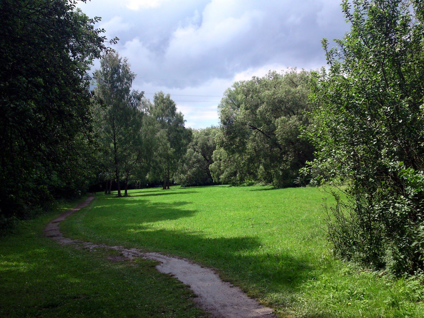
The local name Grüner Pütz refers to a floodplain in the Urft valley. From the foot of the valley slope toward Cologne, the waterworks are arranged in sequence: a seepage conduit feeds a spring chamber, which connects to the aqueduct channel. Their construction includes dry-stone masonry, sandstone, clay sealing, and a channel built with concrete and stone.
Spring water system
Seepage conduit
An 80-metre conduit gathered groundwater where it emerged at the foot of the slope and led it to the spring chamber. Its dry-stone walls had a permeable side facing the slope, while clay sealed the side toward the Urft to limit water loss and prevent river water from entering. Gravel formed the floor, and sandstone slabs covered the conduit. It measured 40–45 cm wide and 70–100 cm high, growing taller toward the chamber.
Spring chamber
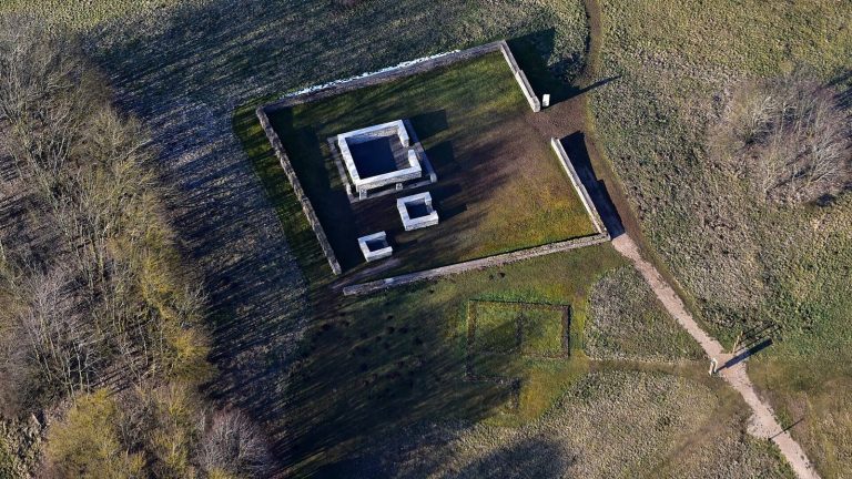
The chamber’s nearly square foundation, built of sandstone blocks, measures 1.93 by 1.86 m internally. Its gravel floor lies 15 cm below the floors of both the conduit and the outlet channel. Two openings on the slope-facing side admitted spring water, which slowed in the chamber and allowed impurities to settle. A 30–40 cm-thick clay seal lined the side toward the Urft, and half-round capstones covered the chamber. The present reconstruction has an opening on the valley side that was not part of the ancient structure. Excavation recovered a corner fragment bearing a Medusa, or Gorgon, head; the original is held at the Landesmuseum Bonn.
Aqueduct channel
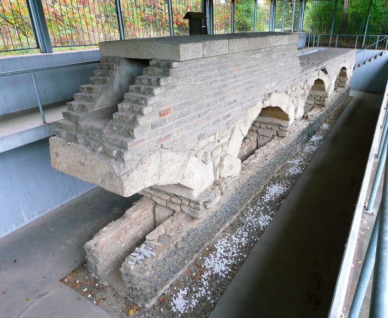
Beyond the chamber, a channel carried water onward toward Cologne. Its trough was made of cast concrete, with a vault of limestone and greywacke, and reddish water-resistant plaster lined the interior. The channel measured 50 cm wide and 90 cm high internally. The intake and the channel as far as the railway embankment have been returned to operation. Beyond the embankment, the water flows into the Urft within the floodplain.
Road and mill remains
Roman road
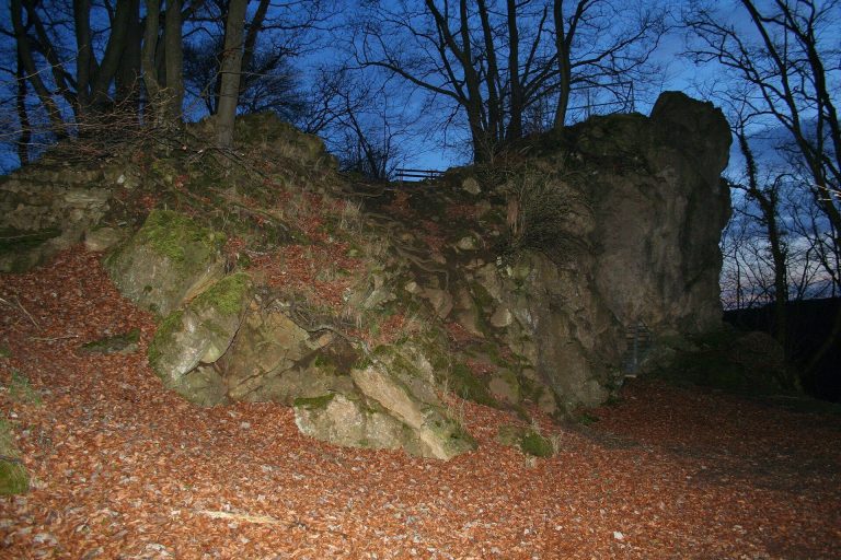
Above the former Gronrechtsmühle, a switchback path on the southern valley slope follows the former Roman road alignment. A section survives as a hollow way, with a distinct wheel rut cut into the rock.
Gronrechtsmühle
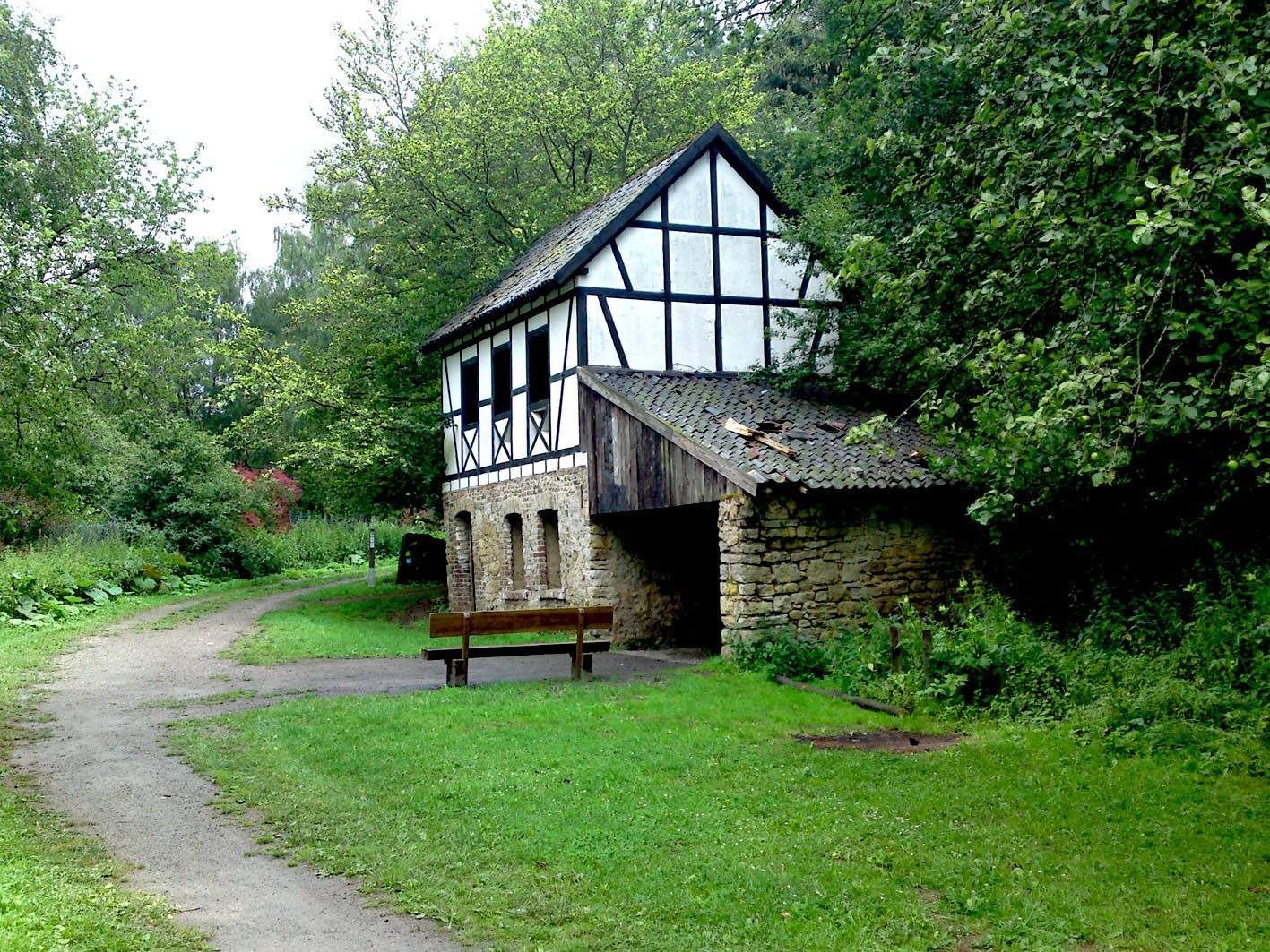
At the southern entrance to the floodplain, a half-timbered building remains from the eighteenth-century Gronrechtsmühle, also known as Rosenthaler Mühle. The mill used water power to grind grain.