Furutsu Hachimanyama Site: A Moated Yayoi Settlement and Burial Site
Site at a Glance
- Popularity
- Medium
- Country
- Japan
- Primary era
- Classical
- Eras represented
- Classical
- Civilizations
- Yayoi
- Site type
- Military
- Remains
- Fortified Town
On this page11 sections
History
The Furutsu Hachimanyama Site is a moated settlement from the late Yayoi period in Akiha-ku, Niigata, Japan. It is identified as the northernmost highland moated settlement of the Hokuriku type and the northernmost known moated Yayoi settlement on Japan’s Sea of Japan coast.
From settlement to burial mound
The site’s history extends into the early Kofun period, the succeeding era of Japanese prehistory associated with burial mounds. A mound dating to this period is interpreted as the tomb of a local chief.
Discovery and preservation
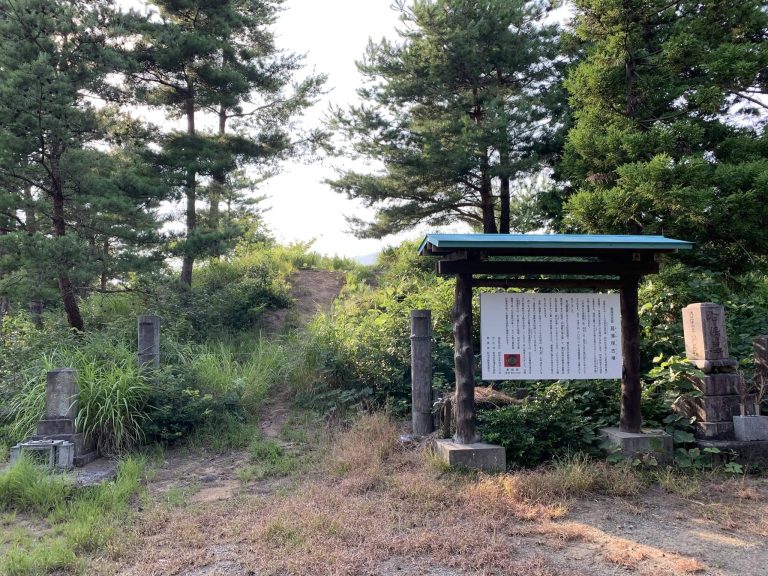
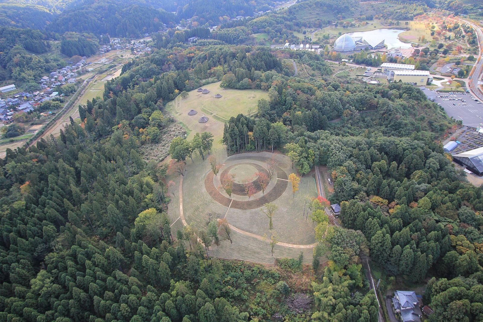
The site was identified in 1987 during archaeological surveys connected with construction of the Ban-etsu Expressway. After consultation, its main area was preserved in place. Niitsu City’s Board of Education carried out 14 investigations, followed by one conducted by Niigata City’s Board of Education. An area of about 11.5 hectares received National Historic Site designation in 2005, and the protected area was extended in 2011. Restoration work took place during fiscal years 2006–2009. The Yayoi Hill Exhibition Hall presents excavated finds and other material about the site, and a pedestrian path links the hall with the archaeological area.
Remains
The archaeological area stretches along the western ridge of the Niitsu Hills, across the Furutsu, Kanazu, and Kamagasawa neighborhoods. The ridge summit reaches 53 meters above sea level, while the settlement lies 15–55 meters above the Niigata Plain, between the Shinano and Agano rivers. The site extends about 400 meters from north to south and 150 meters from east to west.
Settlement remains
Moat and dwellings
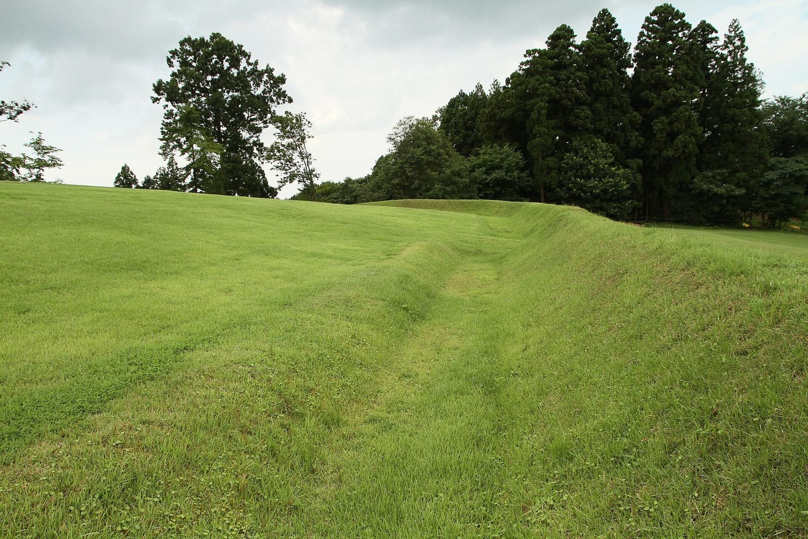
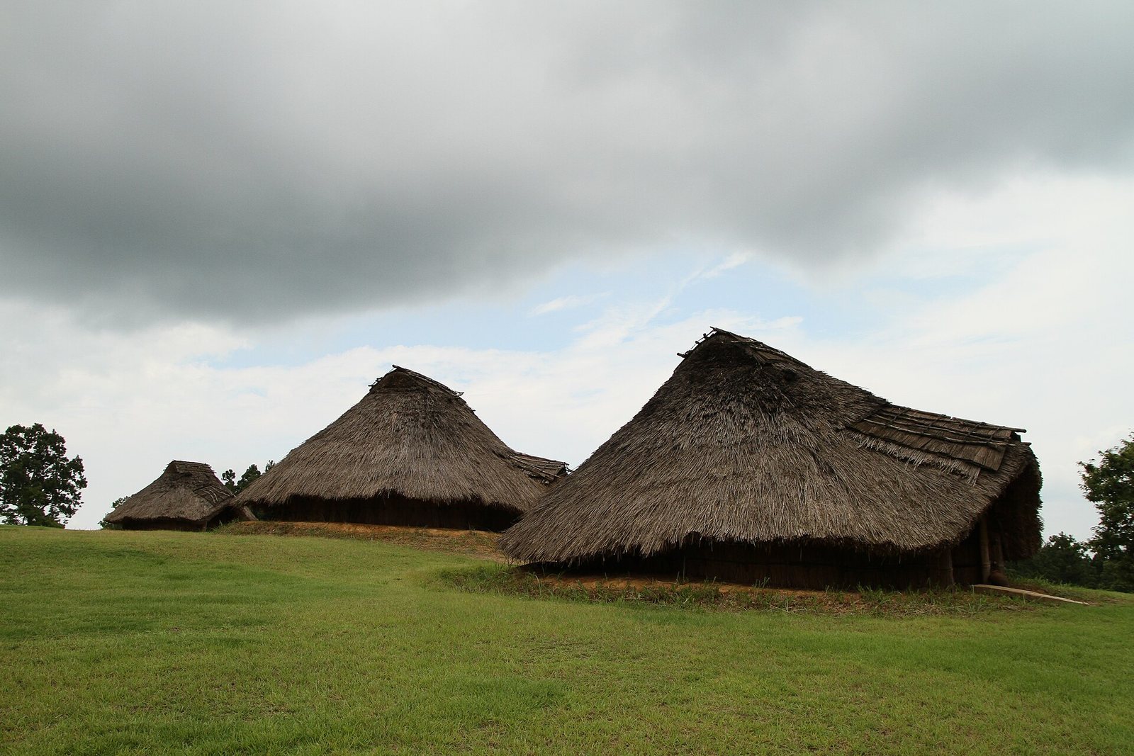
A V-shaped moat enclosed the late Yayoi settlement. It was about 3 meters deep and 2 meters wide, with some sections interrupted and others doubled. Soil dug from the moat formed a simple earthen rampart. Within the enclosure, postholes mark 45 rectangular raised-floor houses, each about 4–5 meters along a side, with a central hearth and a drainage groove. Foundations of 32 pit houses have also been found, and representations of these houses have been reconstructed at the site.
Pottery and regional connections
The pottery includes Hokuriku types, Tohoku forms including Tennōzan-style pottery, a regional Tohoku tradition, and locally classified Hachimanyama-style pottery. Finds from pit houses, square ditch-enclosed burials, and the moat are considered likely to be broadly contemporary. The assemblage points to connections with Aizu and inland Tohoku, as well as central and western Hokuriku.
Burial mounds
Square mounds
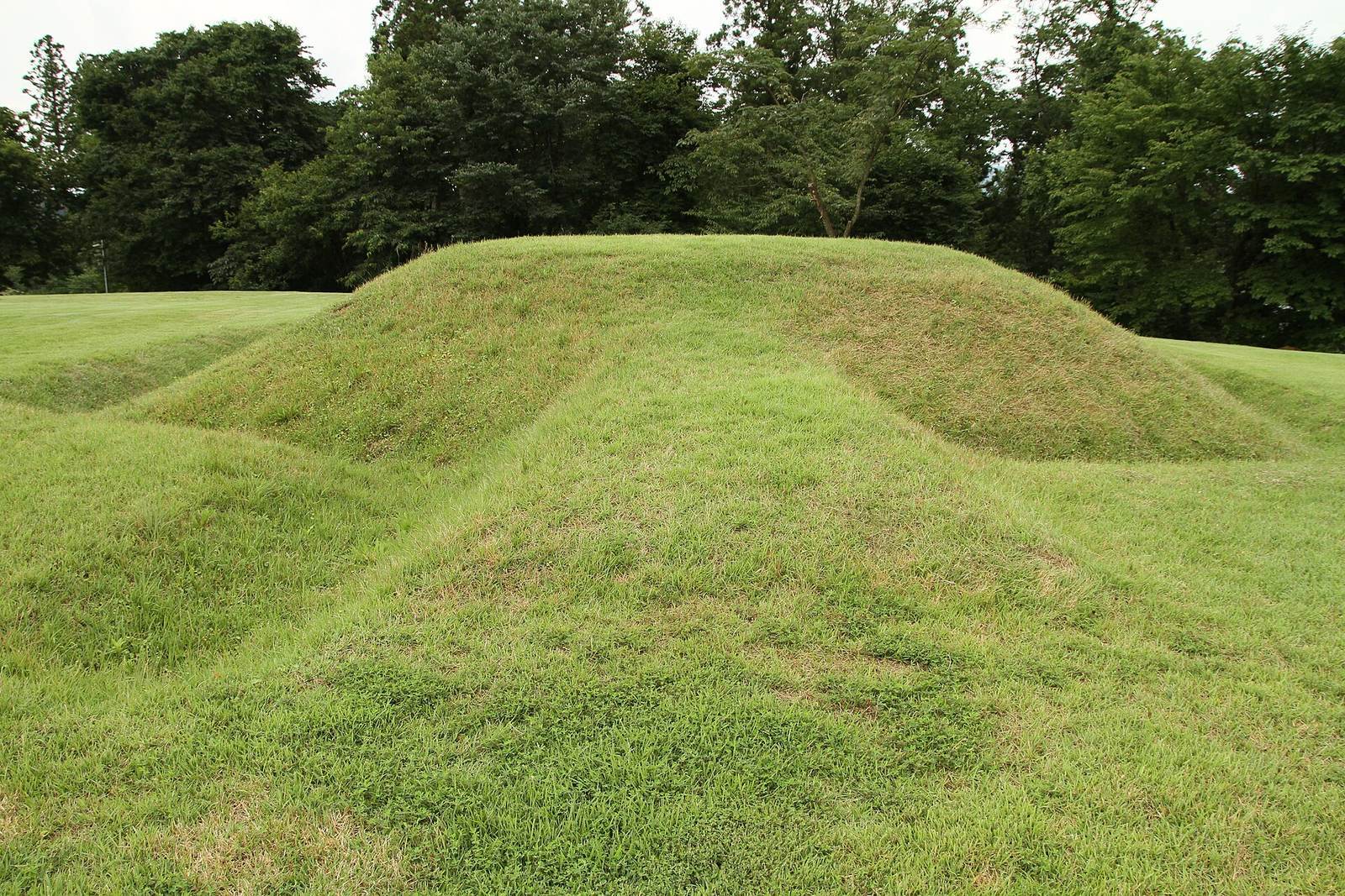
Two square mounds lay a short distance beyond the settlement moat. Excavation of burial-chamber traces yielded an iron sword with a deer-horn handle and a stone spearpoint.
Joined-rectangle mound
A mound formed from two joined rectangles stood on a small rise overlooking the settlement. It was oriented north, and its date is estimated to be around the end of the Yayoi period.
Furutsu Hachimanyama Kofun
Furutsu Hachimanyama Kofun lies northwest of the settlement at the tip of a ridge where the settlement had formerly stood. The 60-meter-wide mound has a circular base, a domed upper portion, and a projection to the north. A moat partly surrounds it, and it is among the largest burial mounds in Niigata Prefecture.