Kamegamori-Chinjumori Kofun: Kofun-Period Burial Mounds in Japan


Site at a Glance
- Rating
- 3.6
- Popularity
- Very Low
- Country
- Japan
- Primary era
- Classical
- External website
- Open
- Eras represented
- Classical
- Civilizations
- Yamato
- Site type
- Burial
- Remains
- Burial Mound
On this page7 sections
History
Kamegamori-Chinjumori Kofun comprises two burial mounds in Japan, at Aozu in Aizubange, Fukushima Prefecture, built during the latter part of the early Kofun period in the second half of the fourth century. The Kofun period, conventionally dated from about the third to the sixth centuries, was an era when elite individuals and regional rulers were buried in large monumental mounds. The two mounds stand on the edge of a terrace beside the eastern bank of the former Miyagawa River, also known as the Tsurunuma River.
Fourth-Century Origins
The mounds form part of the Aozu Kofun Group, together with burial-mound groups at the Otamadan and Miyahigashi sites. Chinjumori Kofun may have been built slightly before Kamegamori Kofun, although the two are generally considered nearly contemporary. Kamegamori Kofun is the largest kofun in Fukushima Prefecture and the second-largest in the Tohoku region, after Raijinyama Kofun in Miyagi Prefecture. Along with Aizuwakamatsu Otsukayama Kofun, it provides evidence for understanding the historical situation of the Aizu Basin during the Kofun period. A possible relationship has also been proposed between Kamegamori Kofun and the contemporary Amenuma settlement site.
Later Names and Investigation
The Aizu earthquake of 1611 formed Yamazaki New Lake, which submerged the area around the two mounds. This flooding is associated with the turtle element in the name Kamegamori. In the regional gazetteer Shinpen Aizu Fudoki, compiled in 1809, Kamegamori was called “O-kikko Fort” and Chinjumori was called “Ko-kikko Fort.” A 1920 investigation treated Kamegamori as a large circular mound. Yamaguchi Yaichiro’s 1957 survey identified it as a keyhole-shaped mound and called it “O-kikko Kofun,” while also recognizing Chinjumori as a kofun under the name “Ko-kikko Kofun.”
Kamegamori Kofun became a Fukushima Prefectural Historic Site on April 11, 1969. On May 6, 1976, both mounds were designated together as the national Historic Site “Kamegamori-Chinjumori Kofun,” covering 31,110.29 square meters. Surveys and archaeological investigations continued through the twentieth and early twenty-first centuries. Kamegamori was surveyed in 1975 and 1991, tested by excavation in 1992, and investigated in campaigns from fiscal years 2006 to 2008, 2010, and 2013. Chinjumori was surveyed in 1975 and 1991 and excavated from fiscal years 1995 to 1997.
Medieval and Religious Reuse
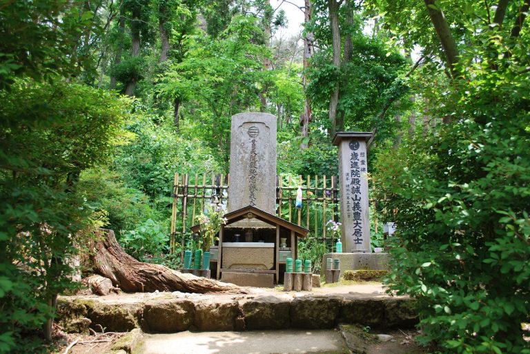
Kamegamori Kofun was later adapted as a medieval fortified enclosure. Religious and funerary activities subsequently changed the mound, with an Inari shrine and a Kannon chapel placed on its rear section and a cemetery established on its front section. Inari is a Japanese kami associated especially with rice, agriculture, and prosperity, while Kannon is a Buddhist bodhisattva associated with compassion. A Hachiman shrine was also established on the summit of Chinjumori Kofun. Hachiman is a major Japanese deity historically associated with warfare and the protection of the state.
Remains
Kamegamori Kofun
Kamegamori Kofun is a keyhole-shaped mound, a form combining a rectangular front with a circular rear section when viewed from above. Its west-facing rectangular front is about 55 meters long, while the circular rear section is approximately 74.4 meters in diameter, giving the mound a total length of 129.4 meters. The rear section has three constructed tiers, and a projecting platform, or tsukuridashi, extends at the junction between the front and rear portions. This shelf-like feature is a characteristic element of some kofun layouts.
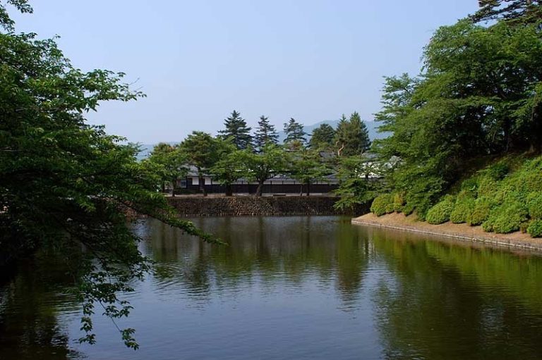
A horseshoe-shaped moat surrounds the mound. It was formerly understood as shield-shaped. Stone revetment stabilized parts of the outer surface, where fragments of cylindrical, jar-shaped, and trumpet-shaped haniwa were found. Haniwa are clay funerary objects placed on and around burial mounds. Gravel-laid features within and beneath the mound have been interpreted as a foundation intended either to protect it from groundwater or to reinforce its structure. A small mound remains at the center of the rear section. The later fortification, shrines, chapel, cemetery, and dense Japanese cedar growth have substantially altered the physical form of the mound.
Chinjumori Kofun
Chinjumori Kofun lies south of Kamegamori and has a front-square-and-rear-square plan, in which two adjoining square sections form the mound. Its principal axis runs parallel to Kamegamori’s, with the front section facing west. The mound is 55.2 meters long overall. Its rear section measures 29 meters from front to back, 33.2 meters across, and 5.9 meters high. The front section is 26 meters wide and 3.2 meters high. The rear square section has three constructed tiers.
A moat follows the same front-square-and-rear-square outline. It measures about 7 meters wide along the front, 7.5 to 8.3 meters along the sides of the front section, 9.5 meters behind the rear section, and 12.5 meters along the sides of the rear section. Pottery fragments recovered from Chinjumori include a double-rimmed jar with a perforated base. The vessel form and associated pottery indicate construction in the second half of the fourth century, probably slightly earlier than Kamegamori. A Hachiman shrine stands on the summit.