Burgstall Kugelburg: A Medieval Castle Site in Germany
Site at a Glance
- Popularity
- Low
- Country
- Germany
- Primary era
- Medieval
- Eras represented
- Medieval
- Civilizations
- Holy Roman Empire
- Site type
- Military
- Remains
- Castle
On this page14 sections
History
Burgstall Kugelburg, the remains of a medieval castle near Goldbach in Germany, was probably built in the early 12th century as a defensive stronghold during Aschaffenburg’s expansion. Its position helped control a natural route into the Spessart, the wooded uplands southeast of the site. The castle was also known as Kugelnberg, a name later used by the family associated with it.
The Kugelnberg family and regional power
The castle stood about three kilometres from Aschaffenburg, then within the Electorate of Mainz, a territory governed by the archbishop of Mainz, who also held an electoral office in the Holy Roman Empire. The castle could be seen from the city and across the left-bank Main region. When Archbishop Conrad of Wittelsbach returned to his see in 1183, its position may have reminded him of Weisenau Castle near Mainz.
The Kugelnberg family appears in records from about 1187. Its members served both the Electorate of Mainz and the Bishopric of Würzburg, an ecclesiastical territory, while balancing relations with the Counts of Rieneck, a regional noble house. They were probably supporters of the Hohenstaufen, a ruling dynasty whose members held the German kingship and imperial title. The family was likely entrusted with administering and enlarging the castle, then adopted its name. Its nearby holdings were extensive, and it owned Goldbach’s parish church.
The family’s origins remain uncertain. One proposal connects the Kugelnbergs with the nobles of Höstebach, whose ancestral seat may have stood beside a church in a neighboring settlement. Strubo de Hostebach continued to use that family name. The Kugelnbergs also helped found nearby Schmerlenbach Monastery. Its foundation in 1218 is associated with Gottfried von Kugelnberg, a canon, or member of a cathedral’s clergy. The Kugelnbergs’ recorded history reaches its end around 1254, and a possible connection with the Waldenberg family has been suggested.
Conflict and destruction
The end of the Kugelnberg family’s recorded history coincided with an intense conflict between Mainz and the Counts of Rieneck in the Aschaffenburg and Lower Main region. The castle lay near the center of this struggle, among other strongholds. These included Landesehre to the north, probably at Gräfenberg; a castle site on Klosterberg, probably Waldenberg; Waleberg to the south and upstream; and the Mainz valley castle known as Castrum Vivarium, a short distance east.
The Electorate of Mainz probably destroyed Kugelburg toward the end of the 13th century or, at the latest, during the 14th century. The likely purpose was to remove a possible threat to Aschaffenburg and secure access to the Spessart. By the 14th century the castle was already a ruin.
Later damage and archaeological work
Toward the end of the 19th century, the owner of Untergartenhof erected a lookout tower on Kugelberg; it no longer survives. Looting in 1930–32 severely damaged the castle remains. Excavations in 2018 supported an early-12th-century construction date and showed that the castle had been a residence as well as a defensive stronghold, rather than simply a refuge. The work also indicated that it had been enlarged in two stages. The site is listed as an archaeological monument in Bavaria’s monument register.
Remains
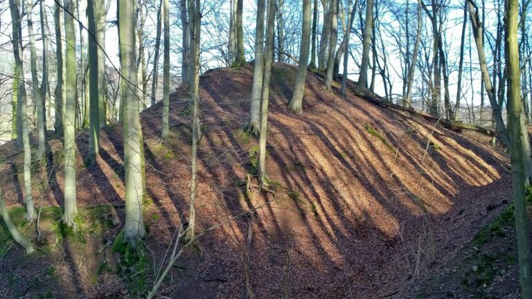
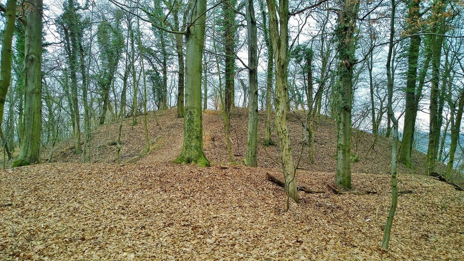
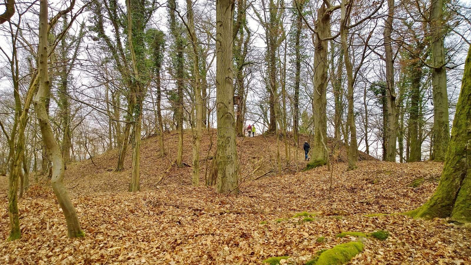
The castle occupied a conical spur projecting northwest from a high plateau above the Aschaff valley, opposite Goldbach, at about 234 metres above sea level. Steep slopes descend north and west toward the Aschaff and Röderbach valleys, while a hollow separates the mound’s eastern side from the ridge. The main enclosure occupied the summit, with a tower mound on the northern slope and other remains to the south. Local Goldbach gneiss was used in the construction.
Enclosure and defenses
Summit wall
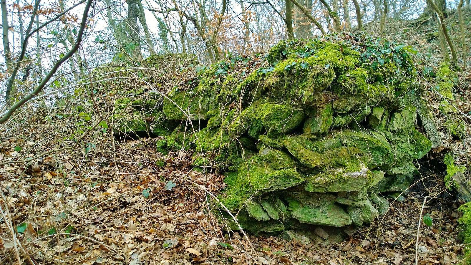
A defensive wall, or ring wall, enclosed a nearly circular summit area about 60 metres across. A 1932 description by Georg Hock noted repeated changes in the wall’s direction, suggesting a many-sided outline. Excavation exposed a section of wall up to four metres high. It followed the sloping ground in steps, with particularly broad stones in its foundations and mortared stones in the upper courses. Wall remains can be seen at the northern edge and in the northwestern bank; some excavated ruins have been built up to foundation-wall height.
Mound, ditch, and outer enclosure
The tower mound measures about 20 metres across and appears on the northern slope as a slightly square rise about 15 metres high. A deep hollow at its center is attributed to looting. On the mound’s southern and western sides, the ground falls about five metres to a shallow ditch roughly six metres wide. The ditch curves around the mound from west through south to east, with a bank outside it, now about 0.6 to 1.5 metres high, identified as the former castle wall. Beyond the ditch and bank to the south, depressions on a lower plateau may mark cellars, while a faint enclosure may indicate an outer part of the castle.
Buildings and finds
Internal buildings
Excavation revealed a stone building on the western side of the ring wall. Its southwestern corner stood at an angle to the wall. Collapsed stones in a northeastern excavation trench indicate another building within the castle.
Objects from the castle
Animal bones and pottery have been recovered at the site, including vessels interpreted as local imitations of Pingsdorf ware, a type of medieval pottery associated with the Rhineland. Five coins are attributed to Adalbert I of Saarbrücken, archbishop of Mainz from 1111 to 1137. A sixth, dated to around 1170, was probably minted at Cologne under Archbishop Philip of Heinsberg. One coin bears an image of Mainz Cathedral on its reverse. Finds also include fragments of beaker-shaped stove tiles and restored tiles from a stove of a type also found at nearby Wahlmich Castle, as well as an intact pair of bow-handled scissors.
Local memorials
Atonement cross
A protected atonement cross, a stone cross associated with penance, stands on Österreicher Straße in Goldbach among several wayside shrines. Local legend connects it with the castle.
Commemorative tower ruin
More than a kilometre away, near Goldbach’s entrance on Österreicher Straße, a fictional tower ruin built in 2012 commemorates Kugelburg. It was constructed from stones taken from demolished Untergartenhof, some of which are said to have come from the castle. A plaque quoting the local chronicle recalls the legend associated with the site.