Adlerstein Castle Ruins: A Medieval Castle Site in Bavaria
Site at a Glance
- Popularity
- Very Low
- Country
- Germany
- Primary era
- Medieval
- Eras represented
- Medieval
- Civilizations
- Holy Roman Empire
- Site type
- Military
- Remains
- Castle
On this page7 sections
History
Adlerstein Castle Ruins are the remains of a medieval castle on the Alten Burgfelsen near Aicha, in the municipality of Wellheim, Bavaria, Germany. The castle’s foundation date is unknown, and it is first mentioned in 1398.
Bronze Age occupation
Pottery fragments indicate that people occupied the rocky site during the Bronze Age, a prehistoric period associated with the use of bronze tools and objects. This phase is classified as an early- to middle-Bronze-Age hilltop settlement, predating the medieval castle.
Medieval records and local tradition
The site and surrounding woodland were attached for a long period to the lordship of Wellheim. The castle is also known as Alte Bürg or Altenstein. The name Alte Bürg has prompted the suggestion that it was an earlier castle associated with Wellheim Castle, but that connection is unproven.
A 1398 reference connects Alte Burg with Stephan Groß, though it does not establish that he owned the castle. The Groß family administered the Konstein district office at various times between 1461 and 1739, but came from Altenburg near Oberbürg. Some historical claims also name the Counts of Hirschberg or Sophie of Oettingen as owners. A 1309 deed transferring part of the Hirschberg inheritance to the Count of Oettingen does not mention Alte Bürg; the name Adlerstein in this context is a misreading of Dollnstein.
Local tradition tells of a knight named Groß and the old house at Aicha in a tale with a motif resembling the Rumpelstiltskin story.
Remains
Castle rock and surviving structures
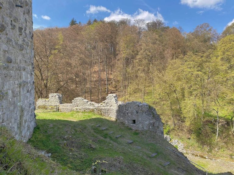
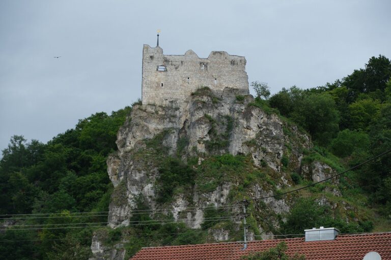
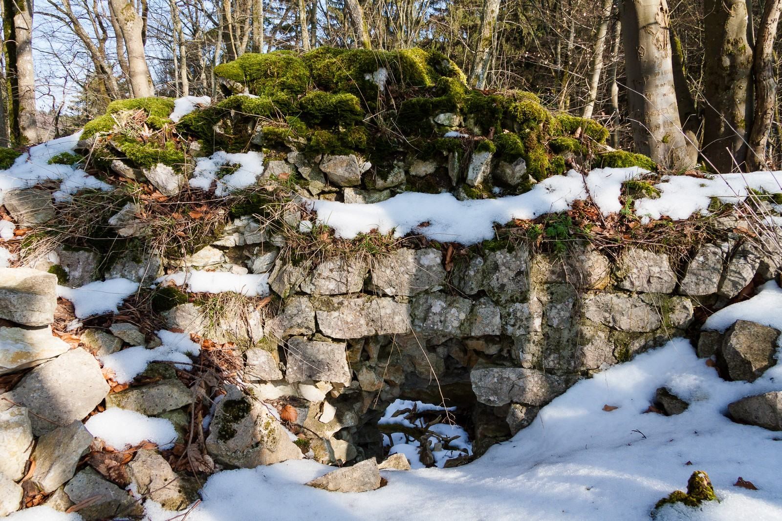
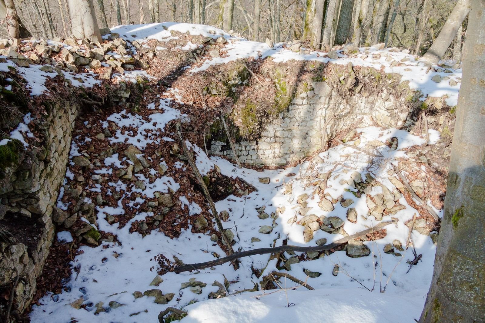
The castle was a spur castle, a fortification built on a projecting rocky ridge. It occupied the steep-sided Alten Burgfelsen, whose summit reaches 596.6 metres above Germany’s standard elevation reference. Only slight masonry remains on the summit. These include foundations of a residential tower with a window and a narrow opening for firing through, the tower’s approach, and traces of a ditch. An eight-metre-deep cave lies at the foot of the rock.
Bronze Age pottery
The pottery fragments associated with the earlier occupation are displayed at the Urdonautal Museum in Wellheim.
Territorial boundary stone
A boundary stone in woodland beside the road from Aicha to Biesenhard marks the former division between the Wellheim territory of Eichstätt, an ecclesiastical territory ruled by prince-bishops, and the Konstein territory of Palatinate-Neuburg, a principality in the Holy Roman Empire.