Burgstall Sand (Todtenweis): A Former Hilltop Castle Site in Bavaria
Site at a Glance
- Popularity
- Low
- Country
- Germany
- Primary era
- Medieval
- Eras represented
- Medieval
- Civilizations
- Unclassified
- Site type
- Military
- Remains
- Castle
On this page8 sections
History
Burgstall Sand (Todtenweis) is a former hilltop castle site above Sand in Bavaria, Germany. Usually interpreted as an early-medieval stronghold, it is generally dated to the ninth or tenth century, although an eighth-century origin is possible. Its precise date and original purpose remain uncertain. Fortifications along the Lech may have guarded a frontier when the river marked the boundary between Alamannic and Bavarian territories.
Possible early-medieval role
Set above a broad passage through the Lechrain, the stronghold may have guarded access across the region toward the Lechfeld, the plain south of Augsburg. Its size has also prompted the suggestion that it served as a place to assemble troops. A similarly extensive cross-ridge fortification, the Pfarrerschanze, lies about 1,000 metres north across the valley; Burgstall Bach is farther north.
A fortification at Eselsberg near Thierhaupten, dated to the period of Magyar incursions into Central Europe, was once confused with Burgstall Sand, which was sometimes called Eselsberg. Widukind of Corvey, a tenth-century Saxon monk and chronicler, described several refuge forts along the Lechrain but did not identify this site as one of them.
Wittelsbach control and the 1177 sale
From 1131, the Wittelsbach counts palatine, high-ranking territorial officials of a Bavarian ruling dynasty, served as secular protectors of lands belonging to the Augsburg monastery of St Ulrich and Afra beyond the Lech. Around 1150, Kuonradus and Sigefridus the Taintinwis are named as castle retainers of the Wittelsbachs. They may have taken over an older stronghold, perhaps one of the region’s early defenses against Magyar incursions. Another interpretation is that the counts palatine founded the castle after 1131, possibly in part to prevent the monastery from developing an independent power base.
The stronghold first appears in 1177 as the castle of Taitenwis. That year, Count Palatine Otto sold it to the monastery of St Ulrich and Afra, which appears to have abandoned it afterward. Responsibility for protecting the monastery’s lands then passed to Burg Wittelsbach near Aichach.
Later references and land use
A ducal meadow below the castle is mentioned around 1270, and in 1296 Heinrich of Tettenwies appears as a witness to a seal. The plateau remained in agricultural use at least until the late nineteenth century.
Remains
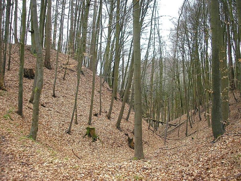
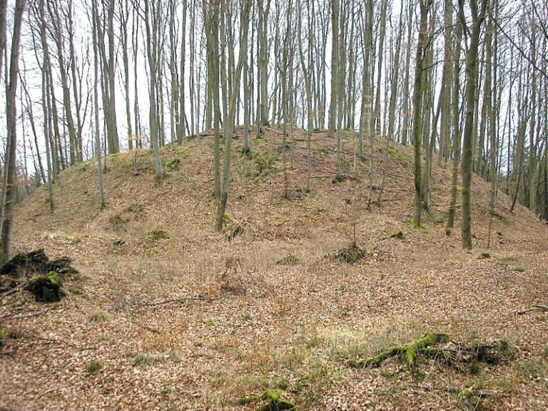
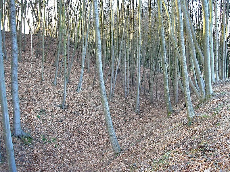
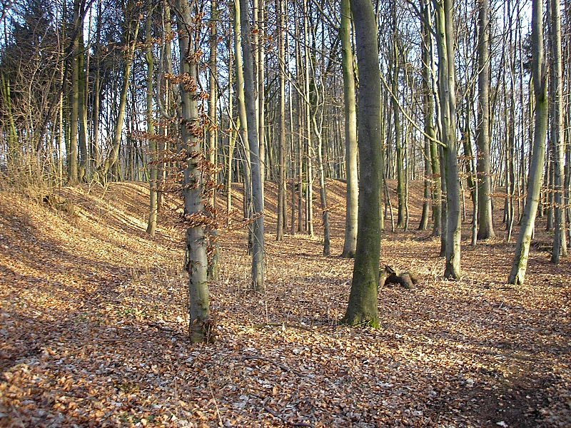
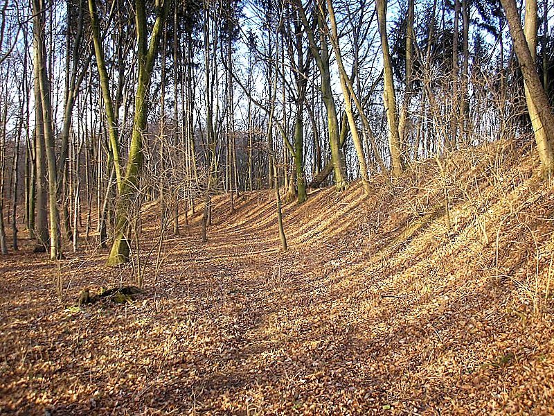
The surviving earthworks occupy the Lechrain at about 490 metres above sea level. The main castle plateau stands roughly 50 metres above the valley floor, and the full fortified area extends for an estimated 300 metres from the core to a separate outer plateau. Ditches and ramparts define the site’s layout.
Core castle and defenses
A curved ditch, up to six metres deep, separates the castle area from the land behind it. Above the ditch, a rampart rises two to four metres over the nearly level plateau; its height varies from about six to seven metres in the west to roughly 15 metres toward the southeast. The steep western slope offered natural protection, while a palisade may have strengthened the slope edge. The main castle interior covers about 0.96 hectares; a separate plan-based estimate gives the core dimensions as approximately 80 by 60 metres. Semicircular earthwork terraces, or possible tower sites, are visible in front of the ditch outlets.
Outer fortified area
Wall and ditch traces northwest of the core mark a spacious outer area. Its high northwestern plateau measures about 60 by 60 metres and has been interpreted as the estate yard serving the high-medieval palatine castle. An eastern slope ditch is visible in front of the plateau, while a western berm may instead derive from a modern forestry road. Below the plateau, a double wall with a ditch between it protects the slope edge; road construction has partly damaged this feature, whose wall stands about two metres high. Plank or wattle fences may have secured the ground between the two castle areas.
Building traces
A shallow depression midway along the southwest side probably marks a building site, and brick fragments occur there. These remains make high-medieval reuse as a residence for a lord’s retainer plausible, although the fortification appears not to have been substantially altered. A proposed reconstruction of the palatine phase places a stone residential building or tower along the slope edge; this is a reconstruction, not a surviving structure.