Old Bridge of Sospel: A Fortified Bridge in France
Site at a Glance
- Rating
- 4.6
- Popularity
- Very Low
- Country
- France
- Primary era
- Early Modern
- Eras represented
- Medieval, Early Modern
- Civilizations
- Duchy of Savoy, Kingdom of Sardinia
- Site type
- Military
- Remains
- Fortified Bridge
On this page8 sections
History
The Old Bridge of Sospel is a fortified stone arch bridge over the Bévéra in Sospel, France, commonly dated to the 12th century. During the Middle Ages, Sospel served as the administrative center of the Lantosque valley’s viguerie, a territorial district, and the County of Ventimiglia, a medieval territory centered on Ventimiglia. The bridge carried an important route linking Nice with Piedmont through the Roya valley and the Tende Pass.
Medieval setting and early bridge
A record from 1217 refers to an act to build a bridge at Sospel, though it does not establish whether the structure was timber or stone. The bridge may have been rebuilt in 1358, when the county court ordered repairs to part of the town’s defensive circuit and its castle.
Repairs and a new crossing
A record from 1522 notes that a masonry arch had collapsed and needed rebuilding. Tolls were collected on goods carried by mule caravans between Nice and Piedmont, including salt. A new bridge downstream opened in 1773 as part of the Royal Road between Nice and Turin. In 1787, Giacinto Donato directed work to rebuild the old bridge’s northern arch, which was at risk of collapse.
Twentieth-century destruction and rebuilding
At the start of the 20th century, a clothing shop occupied the tower, and a basket maker worked there until 1960. France classified the bridge as a historic monument in 1924. German troops demolished it with explosives as they retreated on the night of 27–28 October 1944. Reconstruction to its former design took place from 1952 to early 1957.
Remains
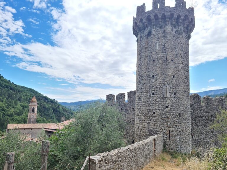
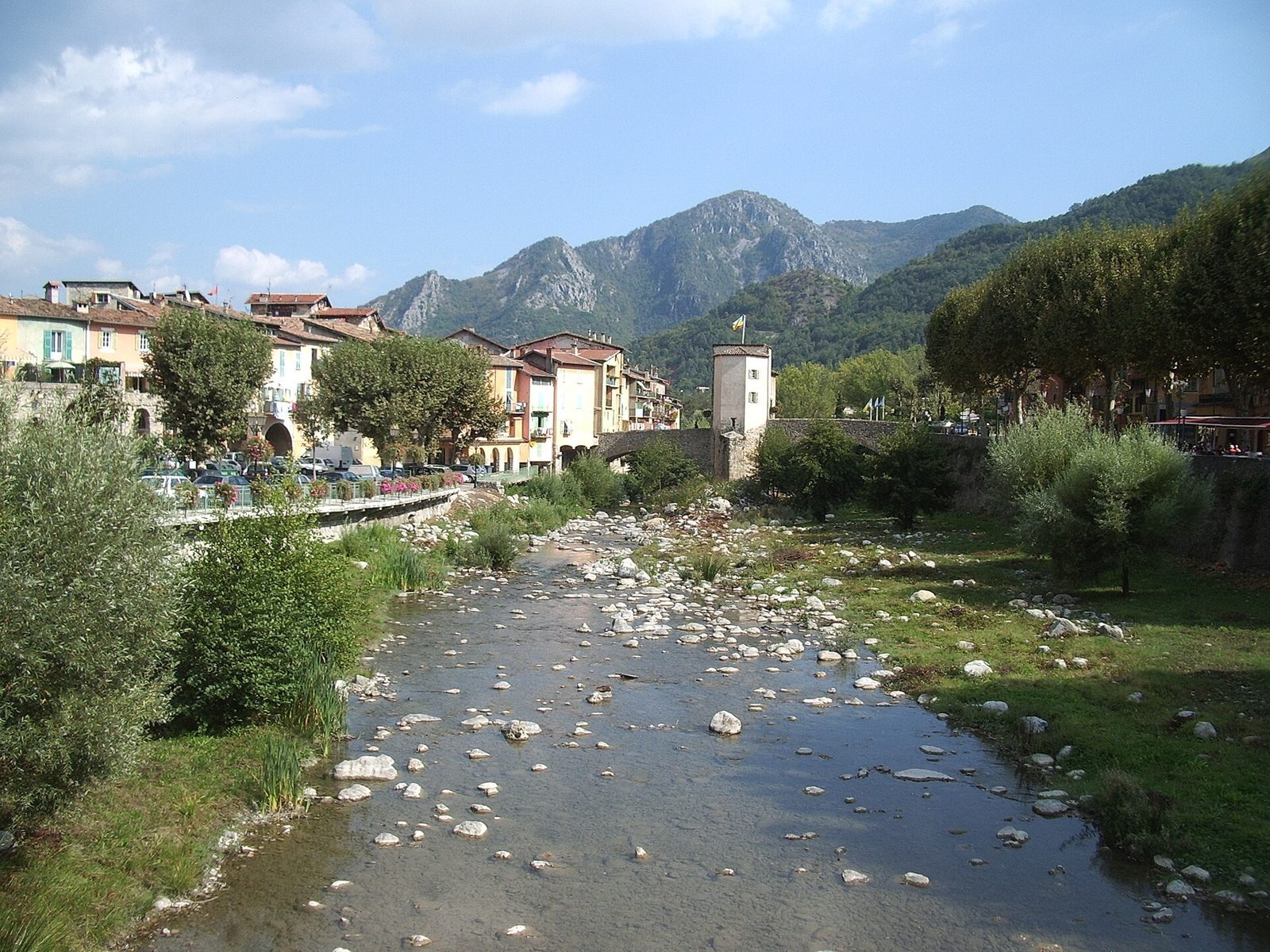
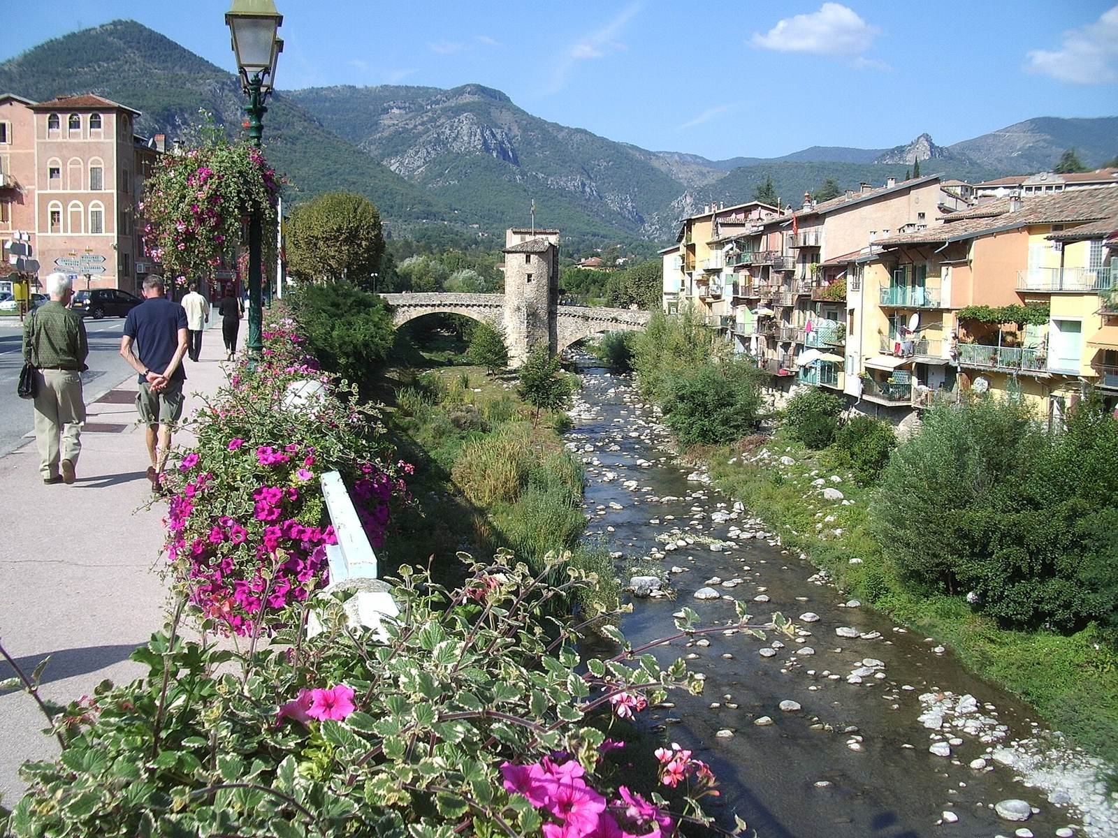
The stone-built bridge crosses the Bévéra on two arches, with a tower and gate standing on its central pier. It measures 36 m long, 5.5 m wide across the roadway, and 9 m high. Its two arch openings measure 14 m and 15 m across.
Bridge structure
Arches and roadway
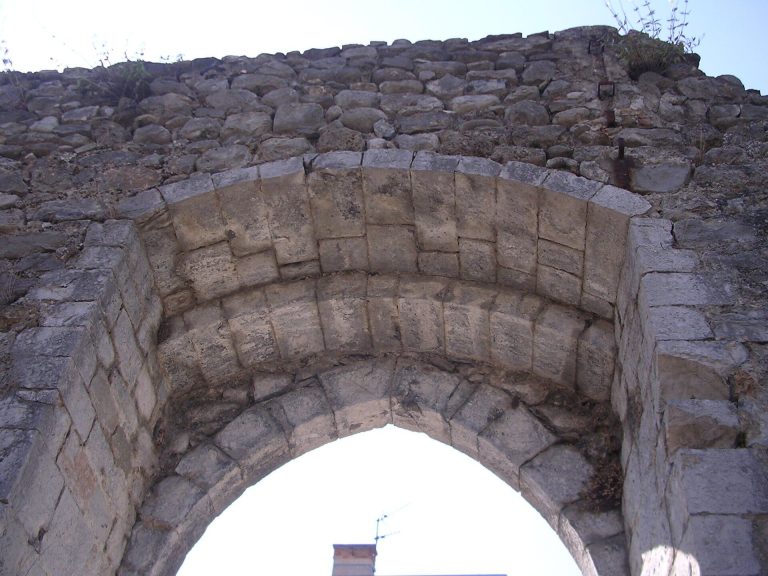
The northern arch was rebuilt at a lower level, making access to Saint Nicholas Square easier. The stones used in the postwar reconstruction came from the original bridge. The place where the collapsed arch began remains visible on the central pier.
Central pier and tower
The central pier is 5 m thick. Its base is medieval, while the rest of the bridge is of later construction. The tower above it may also postdate the bridge. It appears in a 1682 illustrated work depicting lands ruled by the House of Savoy.