Büraburg: A Frankish Royal Fortress in Germany
Site at a Glance
- Rating
- 4.6
- Popularity
- Very Low
- Country
- Germany
- Primary era
- Medieval
- Eras represented
- Medieval
- Civilizations
- Carolingian, Merovingian
- Site type
- Military
- Remains
- Fort
On this page17 sections
History
Early settlement and royal fortress
Büraburg is a Frankish royal fortress on Büraberg near Fritzlar, Germany, built around 680 to guard the Eder region at the northeastern edge of the Frankish realm. The hill had been used in earlier periods, including the Upper Paleolithic, the Neolithic Michelsberg culture, the Iron Age La Tène period, and the Roman imperial period. A Frankish settlement occupied the hill in the sixth century.
The fortress was established amid pressure and raids from the Saxons. Finds of spurs, horse-harness fittings, and weapon fragments suggest that a mounted garrison served there. Its defenses were strengthened in stages: the walls were thickened around 700 and reinforced again around 750 as the danger of renewed Saxon incursions grew.
Mission and ecclesiastical roles
In 723, the Anglo-Saxon missionary Boniface used Büraburg as a base and refuge while traveling to nearby Geismar. There he felled the Donar Oak, sacred to Donar, the Germanic deity also known as Thor. Timber from the tree was used for a chapel dedicated to Peter. That chapel became the nucleus of a Benedictine monastery founded by Boniface at Fritzlar in 724; Wigbert, an Anglo-Saxon monk and missionary, was its first abbot. In 1005, the monastery became a collegiate foundation for secular canons.
Boniface established bishoprics at Büraburg, Würzburg, and Erfurt in 742. Witta, his companion, became Büraburg’s first bishop, with an episcopate dated 741–755. In 755, Lullus, Boniface’s successor as archbishop of Mainz, incorporated the bishopric into the Diocese of Mainz. Lullus sought to extend Mainz’s authority eastward and considered the missionary work of the bishoprics complete. Witta remained at Büraburg until about 760. An auxiliary bishop, Meginoz, administered the see from 747 to 786, after which the office lapsed.
After the transfer, Büraburg served as an archdeaconry, a church administrative district, and a center of Mainz’s authority in northern Hesse and the Eichsfeld. The district was later moved to Fritzlar. Local tradition places Humbert as abbot at Büraburg between 723 and 741.
Refuge and decline
In 774, during Charlemagne’s campaigns against the Saxons, Saxon forces invaded northern Hesse while the Frankish king was in Italy. The people of Fritzlar took shelter at Büraburg and resisted a siege successfully. The attackers then plundered and burned Fritzlar.
After the Saxons submitted in 804, Büraburg lost its military importance. Settlement shifted toward Fritzlar by the middle of the ninth century, and the hill was uninhabited by the thirteenth century. In the Carolingian period, the fortress appears to have been used chiefly as an occasional refuge rather than as a continuously occupied economic center.
Church traditions and archaeological interpretation
The origins and early religious identity of the hilltop church remain uncertain. It may have been connected with the Hiberno-Scottish mission, the early medieval missionary activity of Irish and Scottish churchmen; it may instead have been built later for the Frankish fortress. Another interpretation is that missionaries from Anglo-Saxon England adapted a pre-Christian sacred building. Willibrord may have been involved. If the church predates Boniface’s mission, it could also predate Kilian, an Irish missionary who may have preached in the area in the 680s.
The church’s dedication to Brigida, also known as Brigid of Ireland, is first recorded in 1289. Her cult had reached the European continent by the eighth century, but the dedication at Büraburg may have changed during successive building campaigns; any earlier dedication is unknown. Annual processions and pilgrimages to the church continue.
Investigations include Joseph Vonderau’s excavations of 1926–1931, work in the 1960s and 1970s, and University of Frankfurt campaigns from 1999 to 2002. Hesse’s archaeological heritage service examined the chapel’s west tower in 2005. Interpretations of the eastern area beyond the main defenses have shifted over time, from a proposed outer ward or early settlement to more cautious conclusions. A 2010 reassessment found the case for an early economic center or pre-urban settlement inconclusive.
Remains
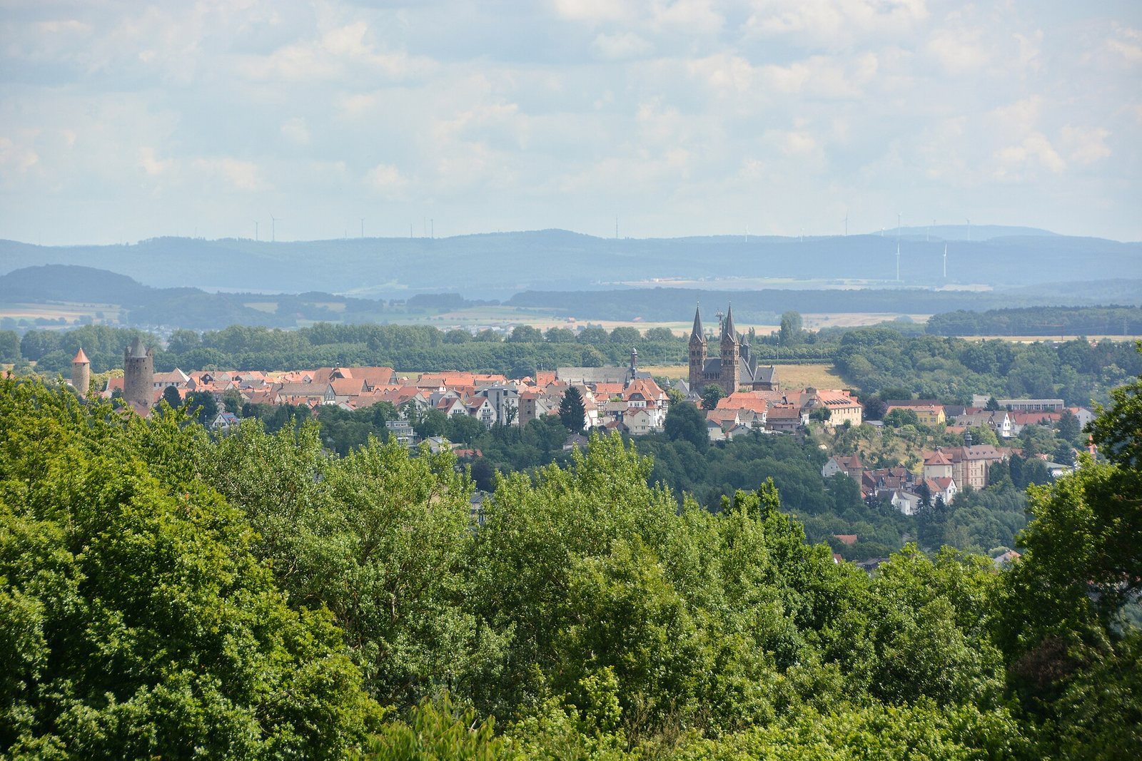
The remains occupy the summit and spur of Büraberg, about 275 metres above sea level and roughly 2.5 kilometres southwest of Fritzlar. The spur drops steeply toward the Eder valley on two sides. Together with the facing hill of Eckerich, it overlooks the Eder passage known as Porta Hassiaca. The main fortified enclosure covered about 8 hectares, and its walls and ditches extended for roughly one kilometre.
Fortifications and settlement
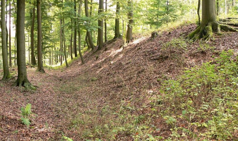
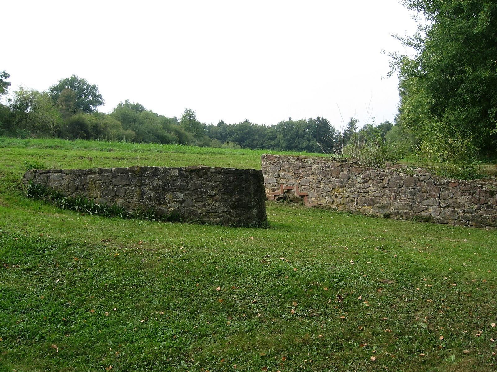
The defenses combined a continuous ring wall with deep ditches. The wall was built of Bunter sandstone, a regional rock formation, bonded with lime mortar. Towers and three gates formed part of the defenses. Reconstructions propose as many as three successive deep ditches, while an arrangement of four ditches east of the walls has been dated to the Carolingian period.
Ring wall and gates
The earliest known wall was at least 1.5 metres thick. Later construction phases increased its thickness to about 1.8 metres and then about 2.7 metres. Some mortared wall sections may have been built or repaired in the Ottonian period, the later tenth- and early eleventh-century ruling era in East Francia. Dark, humus-like deposits behind the masonry formed from soil and debris accumulating downslope.
Buildings within the enclosure
Excavations have identified at least 60 buildings, although they do not all belong to the same period. The arrangement and dates of the buildings remain uncertain, despite proposals for dense, ordered construction in some phases. Identified forms include post-built structures, timber-framed houses on stone foundations or cellars, and sunken-feature buildings, which were partly dug into the ground.
Eastern area and water supply
An area of about 4 hectares lies beyond the principal defenses. It has been proposed as an outer ward, meaning a secondary area outside the main fortifications, but its early medieval use remains uncertain. Excavations found postholes and sunken-feature buildings whose dates and forms are unclear. The recorded pits belong to prehistoric periods, including the Rössen and Michelsberg cultures. A spring in this area provided the fortress’s main water supply.
Chapel and associated buildings
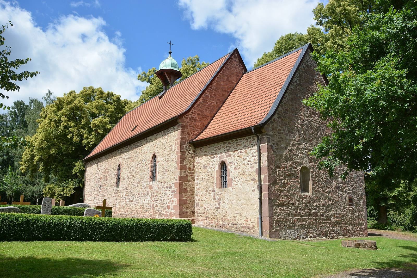
Hilltop chapel
The chapel stands on the central summit plateau within a tree-covered cemetery, with an outlook across the Eder valley toward Fritzlar. Its oldest surviving part is the chancel-arch wall, the opening that separates the nave from the chancel. Radiocarbon analysis of charcoal particles in its lime mortar produced a date range of 543–668, or 558–667 after calibration. These dates may reflect reused wood rather than the construction of the masonry. The wood’s condition and structure support an early date, though reuse remains possible. If the early interpretation is correct, the church would rank among the oldest religious buildings east or north of the Roman frontier.
West tower
The chapel’s west tower stands on the remains of an earlier structure, which rests directly on natural Bunter sandstone. A skeleton associated with that earlier structure was radiocarbon-dated to a period between the late ninth and early eleventh centuries. Renovations between 2002 and 2006 also revealed wood in the chancel arch.
Other buildings and water features
Possible monastic complex
Excavations carried out between 1969 and 1996 were interpreted as revealing a monastic complex. Its oldest layer included a stone-lined cistern. One of its stones bears an inscription of a Benedictine cross. The complex was considered large enough to accommodate an abbot and up to six monks.
Southeastern gate
At the southeastern gate, postholes and hearth slabs indicate a row of buildings along the fortification wall, arranged in a casemate-like form.
Medieval cellars and cisterns
Ruined medieval cellars and cisterns also survive on the hill, alongside the chapel and remains of the fortified settlement.