Mihara Castle: A Fortified Naval Base in Japan
Site at a Glance
- Country
- Japan
- Primary era
- Early Modern
- Eras represented
- Early Modern
- Civilizations
- Mōri
- Site type
- Military
- Remains
- Castle
On this page15 sections
History
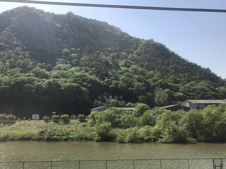
Mihara Castle was a flatland stronghold founded in 1567 by Kobayakawa Takakage at the Nuta River’s outlet in Japan. Takakage, a military leader of the Sengoku period, an era of civil warfare among regional lords, established it as a fortified naval base to support the Kobayakawa fleet and help control the Seto Inland Sea. The harbor at Niitakayama Castle was silting up, making a new maritime base necessary.
Takakage and the castle’s expansion
Before building Mihara, Takakage had united the Takehara and Nuta branches of the Kobayakawa family in 1550. He settled at Takayama Castle the following year, then made Niitakayama Castle, built across the Nuta River in 1552, his seat. In 1555, he led naval forces that helped the Mōri clan win the Battle of Itsukushima. The Kobayakawa fleet supported the clan’s growth: the Mōri entrusted the San’yō region to Takakage and the San’in region to his elder brother, Kikkawa Motoharu.
During the 1580s, Mihara grew into a major sea castle, and Takakage moved his seat there from Niitakayama. Its defenses strengthened Mōri control of the eastern frontier and the Seto Inland Sea. Takakage incorporated an earlier Yamana clan fortification on Sakurayama, behind the castle, apparently adapting it as an inner stronghold. Temples from the area around Niitakayama were also relocated to the rear of Mihara.
In 1587, Toyotomi Hideyoshi granted Takakage Chikuzen Province, prompting him to move to Najima Castle. After his adopted son Hideaki inherited his Chikuzen estate in 1595, Takakage retired to Mihara and began another major rebuilding. The work may have brought Sakurayama and the harbor together within a single fortified complex. A local tradition links the beginning of the Yassa dance to celebrations marking the castle’s completion. Takakage died at Mihara in 1597 after an illness.
From Fukushima to the Asano family
Following the Battle of Sekigahara in 1600, Fukushima Masanori received Aki and Bingo provinces and used Mihara as a branch castle, a secondary stronghold within his domain. He installed his adopted son there. Masanori may also have changed the castle’s defenses.
After Masanori lost his lands in 1619, the Asano family took control of Mihara. The castle remained a secondary stronghold of Hiroshima Domain until the end of the Edo period. Its Honmaru Palace was rebuilt in 1663, and repairs to the stone walls followed the major Hōei earthquake of 1707. The Sanyōdō, a historic highway through western Honshu, crossed the castle town. Mihara also served travelers as a post town, with an official lodging house east of the castle.
Abolition and modern change
The castle was abolished in 1873. The government briefly prepared the grounds for a planned naval base, but abandoned the project over concerns that sediment carried by the Nuta River would build up. The remaining buildings and trees were auctioned; some structures were dismantled, while others were reused. Gates were transferred to local religious compounds.
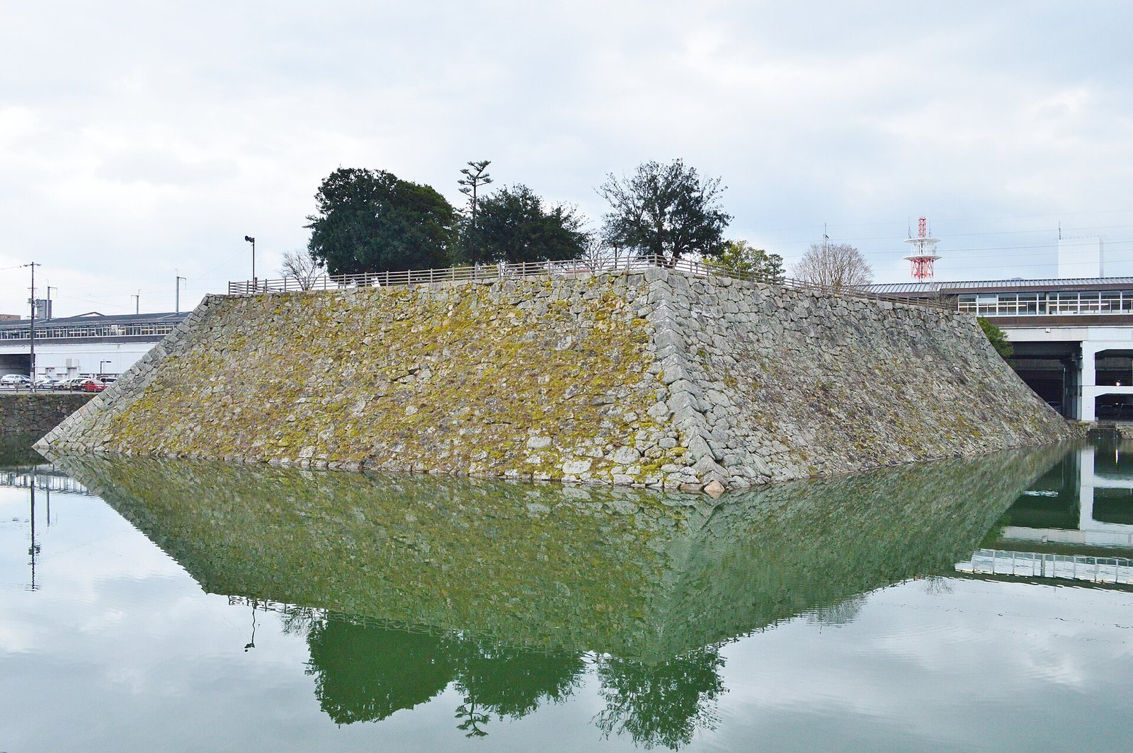
Mihara Station was built within the castle grounds in 1894, and stonework was removed for construction of Itozaki Port. Later land reclamation and National Route 2 further separated the site from the sea. In 1975, construction of the Sanyō Shinkansen and elevation of Mihara Station cut through the Honmaru and keep-platform area, dividing the former grounds. Work to preserve the landscape around the keep platform’s moat and develop it as a park began in 2004. The keep platform and its surrounding inner moat received National Historic Site status in 1957, and Mihara was selected for Japan’s Continued 100 Fine Castles in 2017.
Remains
Mihara was arranged as a terraced castle on flat ground, with a harbor opening toward the sea. The central enclosure, called the Honmaru, stood at the heart of the plan; the Ninomaru, or second enclosure, extended to its east, west, and south. The Sannomaru, or third enclosure, and an eastern outwork occupied the east, while a western outwork lay on the opposite side. At high tide, the water around the castle made it appear to rise from the sea, giving rise to its name, the Floating Castle.
Central enclosures and waterways
The keep platform
The raised base intended for the castle’s central keep occupied the northern, landward end of the Honmaru. Its area was comparable to the keep platform at Edo Castle. Stone walls enclosed its northern, eastern, and western sides, while the southern side appears to have had an earthen bank. Drawings show three two-storey turrets, smaller fortified towers, joined by long, gallery-like structures. One theory proposes that a three-storey tower was transferred there from Tomo Castle after the 1615 decree that generally limited each province to one castle.
Eastern enclosures and moats
Moats divided the castle’s enclosures, and a northern moat separated them from the mainland. On the eastern side, an outer moat, a moat around the East Outwork, and an intermediate moat between that outwork and the Sannomaru formed successive lines of defense. Another moat enclosed the inner area. The roughly triangular Sannomaru lay east of the blacksmith’s enclosure, and the East Main Gate stood on the northern side of the East Outwork.
Harbor defenses and routes
The harbor and southern point
A turret projected beside the harbor at the Honmaru’s southeast. At the castle’s southern end, the defensive point called Umanokuchi was set close to sea level at high tide. It was intended to protect the enclosures from the East Boat Harbor by breaking the force of the water and to impede enemy vessels with an underwater obstacle. The eastern river, the Nishino River to the west, and the sea also formed natural boundaries around the defenses.
The Sanyōdō route
The Sanyōdō highway crossed the castle grounds between the East Main Gate and West Main Gate. Its course ran beside a moat, turned south near the keep platform’s northwest side, then bent west and continued past another moat toward the western gate. The strip of land between Sakurayama and the Honmaru was about 100 metres wide and is thought to have carried an east–west route. Walls, waterways, and moats narrowed the passage available to travelers.
Surviving stonework and relocated gates
The park and central remains
The keep platform and the three-sided moat around it survive within the park. Stonework remains at the site of the Honmaru Central Gate, including stones brought from Niitakayama Castle. Near the station are remains associated with the Fifth Turret and a harbor turret. The Seaside No. 1 Turret site retains both stonework and its moat. A statue of Takakage stands in the park.
Boat-entry turrets and other masonry
At the East Boat-Entry Turret site, stonework survives on the side that once faced the Seto Inland Sea. The West Boat-Entry Turret site is also preserved, and further stonework remains near the Wakuhara River.
Gates in new settings
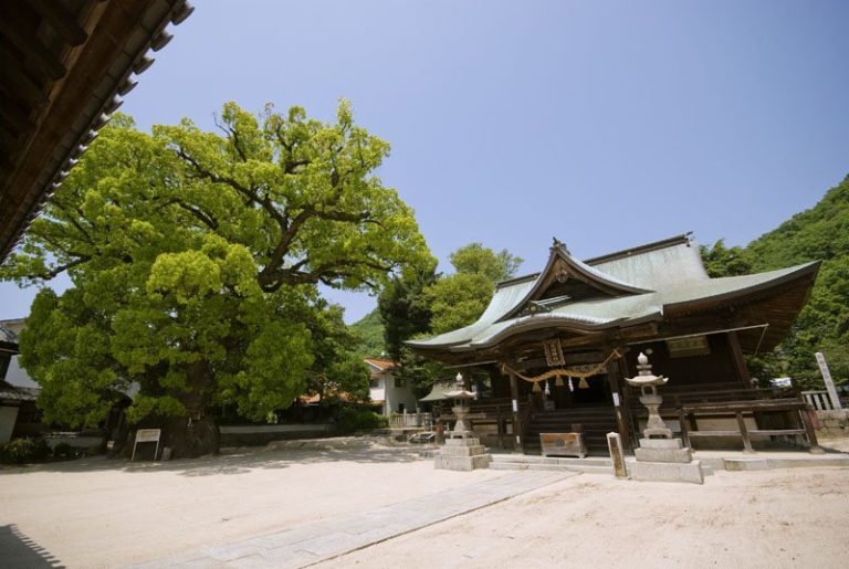
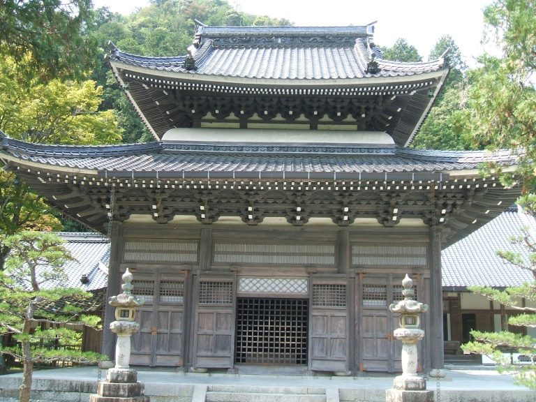
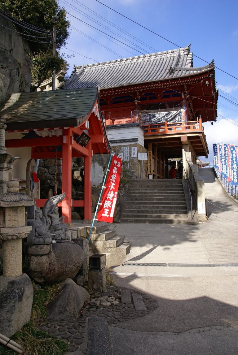
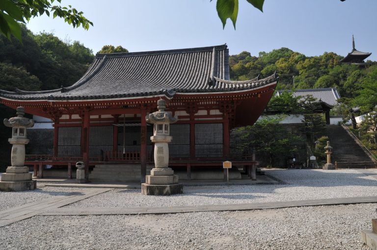
Two gates from the castle survive at other locations. A gate from a samurai residence is now used at Itozaki Shrine. Another, formerly at the works magistrate’s office, was moved to Junshoji Temple in 1877.