Surami Fortress: A Strategic Stronghold in Georgia
Site at a Glance
- Country
- Georgia
- Primary era
- Medieval
- Eras represented
- Medieval, Early Modern
- Civilizations
- Georgian
- Site type
- Military
- Remains
- Castle
On this page13 sections
History
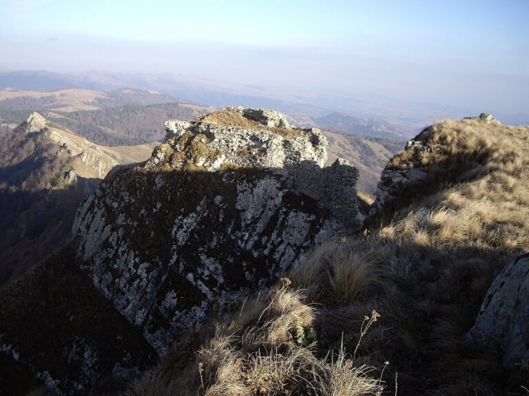
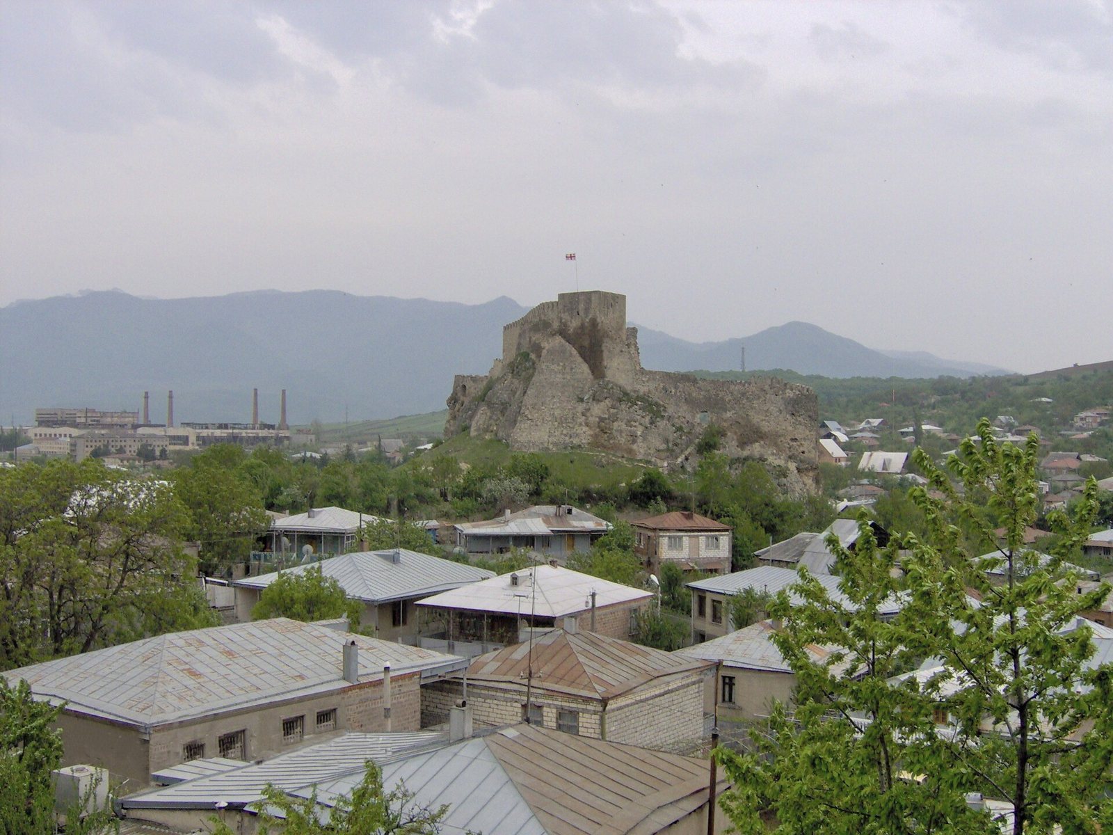
Surami Fortress is a stronghold on a rocky hill in Surami, Georgia, near the pass where routes over the Likhi mountains meet the way south through the Borjomi valley. Georgian historians date the present fortress to the 11th century, though the age and builders of its oldest parts are uncertain. Its position made it an important strategic point.
Early Origins and Medieval Rule
Archaeological finds indicate that people lived in the surrounding area during the Bronze Age, but they do not establish when the fortress began. Several later writers proposed different origins. The 19th-century Georgian historian Platon Ioseliani attributed the fortress and settlement to Pharnajom, an early king of Iberia, in the first half of the second century BC. The Ottoman travel writer Evliya Çelebi connected its construction or enlargement with Khosrow I Anushirwan, a Sasanian Persian king who ruled from 531 to 579. Persian historian Iskandar Beg Munshi instead placed its construction in the 1610s under Shah Abbas I of Safavid Persia, a claim that may refer to repair work.
The fortress is associated with the Surameli, a Georgian noble family that governed the duchy of Kartli in the 12th and 13th centuries. It is thought to have served as their residence. In 1625, Georgian military and political leader Giorgi Saakadze strengthened the site for use against Iranian forces.
Conflict and Changing Control
Evliya Çelebi described Surami as a small but exceptionally strong fortress, under the authority of the khan of Tbilisi, and counted it among Georgia’s oldest. He noted that Georgians and Armenians lived there. French traveller Jean Chardin, writing about his journey through Georgia in 1672 and 1673, characterized the nearby settlement as small and the fortress as well built, with a garrison of 100 men. From the 16th through the 18th centuries, the fortress was drawn into conflicts involving Ottoman and Persian interests. Ottoman forces held it in 1692; from 1701, Prince Vakhtang held it, and it was again regarded as one of Georgia’s strongholds.
During the 1742 to 1745 uprising against the Qizilbash, a confederation of Turkic-speaking tribes and military forces associated with Safavid Iran, Surami became Givi Amilakhvari’s principal stronghold. Persia sought to take it quickly, while Ottoman support helped Amilakhvari strengthen its defences. In 1744, Nader Shah confirmed Teimuraz II as king of Kartli and Teimuraz’s son Erekle II as ruler of Kakheti. This replaced Qizilbash rule with Georgian rule, but Amilakhvari continued the uprising, now opposing the monarchs backed by Nader Shah.
After extended fighting and negotiations at the fortress, Amilakhvari surrendered. He asked Queen Tamar, Teimuraz II’s consort, to receive his submission; after she arrived, he left the stronghold with her for Tbilisi. Teimuraz sent an envoy to Nader Shah to report their reconciliation and seek forgiveness for Amilakhvari. The shah welcomed the fortress’s capture and placed Amilakhvari in Teimuraz’s custody. Teimuraz made him a senior royal court official and kept him in Tbilisi. Nader Shah nevertheless ordered the destruction of Amilakhvari’s fortresses, and Surami and Kekhvi were demolished.
Surami was rebuilt in 1756. Erekle II was then holding Tamaz, a governor of Qiziki, as a prisoner at the fortress. Surami remained under Georgian control until 1783, held at different times by the Chkheidzes of Itria and the Murvanishvili family of Surami. In 1764, Erekle temporarily transferred it, along with Osiauri Fortress, to the Tarkhanovs.
Russian Garrison and Military Decline
Following the 1783 Treaty of Georgievsk, an agreement between the Russian Empire and the eastern Georgian kingdoms, Russian troops joined Georgian forces at Surami to defend the kingdom’s western borders. Russia withdrew its garrison in 1787, when war with the Ottoman Empire resumed. In his 1791 testament, Erekle II still listed Surami among Georgia’s foremost fortresses. During the 1780s and 1790s, it also served as a base for operations against raids by Lezgins, an ethnic group of the eastern Caucasus, in Upper Kartli.
The fortress remained active after 1801 and was still in use in records from the 1820s. Following the incorporation of the Akhaltsikhe region in 1829, its military value gradually declined as Georgia’s borders moved farther away and the defensive need for the site diminished.
Legend and Cultural Memory
A longstanding legend says that the fortress could not be made invulnerable until an only son, Zurab, was buried alive in its walls. In the tale, his mother’s tears continue to seep through the masonry, and a woman dressed in black appears beside the ruins on moonlit nights. The story inspired Daniel Chonkadze’s novella The Surami Fortress and David Suliashvili’s longer work Zurab’s Fortress. Related versions occur in other Georgian traditions and across different cultures; specialists classify the sacrifice motif as a migratory tale, a story pattern that recurs among different peoples.
Remains
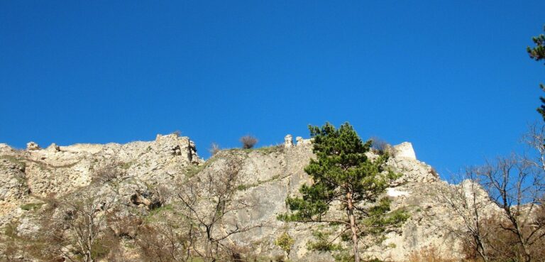
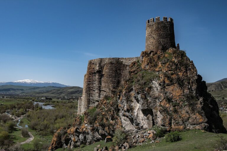
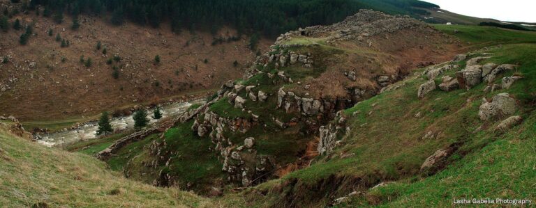
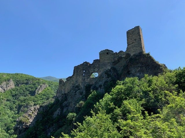
The 1,200-square-metre complex stands on the left bank of the Suramula River, overlooking northern Surami in a canyon-like valley near the Surami Pass, between the Likhi and Surami ranges. Its enclosing wall follows the rocky hill in an irregular line. Within it, the citadel, the fortified inner stronghold, occupies the hilltop, while the lower court extends down the slopes. St George’s Church and a palace are also part of the complex. The walls combine rubble and dressed stone, and their visible building layers reflect successive periods of work.
Walls and Citadel
Enclosing Wall
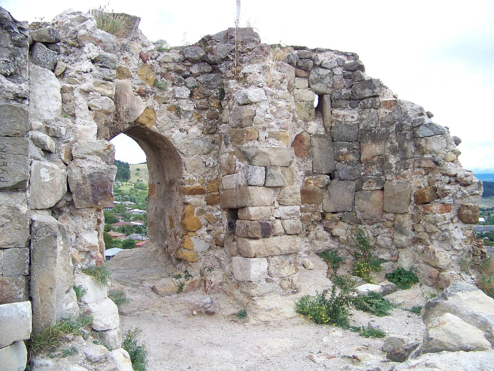
The enclosure wall has an entrance midway along its north side, reached by steps cut into the rock. Narrow openings for weapons are set high in this section, and the north-west corner includes remains of repairs thought to date to the second half of the 16th century. Other parts of the wall were restored in the 17th and 18th centuries. The western stretch is in ruins, with a surviving section measuring 8 metres long and 2 metres high. Restoration in the 1980s repaired the eastern and western walls.
Inner Wall
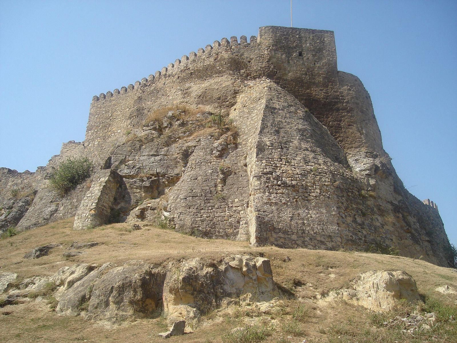
A second defensive wall forms part of the eastern side of the enclosure and is in better condition. A thin 17th-century addition to its eastern face has a single row of narrow openings for weapons. The older wall has roughly cut crenellations, the raised and lowered sections along a wall’s top, set at uneven intervals. On later walls, these sections are narrower, rounded, and more regularly spaced.
Citadel and Tower
The upper citadel has an irregular polygonal outline measuring 52.4 by 29.3 metres. It includes an enclosure wall and a pyramidal tower measuring 21.2 by 12.7 metres. Ruins cover the citadel’s ground. The tower entrance opens onto the courtyard; narrow windows pierce its thick second-storey walls, and dressed stone covers its exterior. Restoration in the 1980s rebuilt the tower to its full height after it had been reduced to two storeys.
Church and Palace
St George’s Church
Built in the 11th or 12th century, St George’s Church stood on a rocky outcrop in the south-eastern lower court. The dressed-stone building measured 5.9 by 6.1 metres and had entrances on its west and north sides. A broad arch divided the interior into two equal spaces. The southern space ended in an apse, the rounded end of a church sanctuary, while the northern one was rectangular. A single barrel-shaped ceiling covered both spaces, and each had a window on its eastern and western sides. The church had a gabled roof. A small vaulted chamber, measuring 2 by 3 metres, was built directly against its north wall. The chamber had a western entrance and a window above the doorway.
Damaged fragments of medieval paintings once decorated the interior. The half-dome over the apse showed a Deesis, an image of Christ flanked by the Virgin Mary and John the Baptist; below it was a scene of the Apostles receiving communion. Fragments of an Ascension appeared above the arch on the northern side of the ceiling, and the west wall showed the Raising of Lazarus. Angel wings were visible in the ceiling’s northern part. The paintings used small figures and a graphic manner, with red-brick, dark blue, reddish-brown, grey-white, and yellow tones. The church façade also had decorative relief bosses around its windows. The April 1991 earthquake collapsed the roof and destroyed the remaining painting fragments.
Palace
The severely damaged palace stood in the southern part of the lower court, with ruins of two storeys surviving. It had vaulted roofing; deep niches and fragments of arches remain in its eastern wall. Several building phases can be distinguished. Two room fragments are visible on the western enclosure wall, where the palace was attached to the fortification.