Gori Fortress: A Strategic Stronghold in Georgia
Site at a Glance
- Country
- Georgia
- Primary era
- Early Modern
- Eras represented
- Classical, Medieval, Early Modern
- Civilizations
- Georgian, Safavid
- Site type
- Military
- Remains
- Citadel
On this page11 sections
History
Gori Fortress is a hilltop stronghold in central Gori, Georgia, where the hill was fortified in the final centuries of the first millennium BCE. A settlement grew around the fortified hill, while the town of Gori was founded in the 12th century and the fortress first appears in written records in the 13th. It guarded routes of strategic and economic value, and control of the fortress carried political weight across Shida Kartli.
Medieval and early modern contests
Ossetians held the fortress in the late 13th century. In the 1320s, King George V of Georgia drove them out after a siege lasting three years. Around 1474, Uzun Hasan, ruler of the Aq Qoyunlu, a Turkmen confederation also known as the White Sheep, captured the stronghold. Constantine II of Georgia recovered it in 1479.
In the mid-16th century, Shah Tahmasp I of Safavid Persia tried repeatedly to seize the fortress. His first three campaigns failed, but he captured it on the fourth attempt. Ottoman forces took it soon afterward as they advanced toward Tbilisi. Simon I of Kartli, released from Safavid captivity to fight the Ottomans, made several unsuccessful efforts to retake it. In 1599, he used a feigned pause for Lent, the Christian fasting season before Easter, to launch a surprise attack at night and recover the fortress.
Rebuilding under Georgian and Persian rule
During the 17th century, Georgian and Safavid forces repeatedly contested the fortress. Shah Abbas I captured it briefly early in the century and inflicted severe damage. In the 1630s, Rostom, king of Kartli, carried out substantial rebuilding and placed Iranian soldiers in its garrison. At Rostom’s request, the Italian Catholic missionary Cristoforo Castelli made a drawing of the fortress around 1642.
In the early 18th century, the fortress was still regarded as strong, and Vakhtang VI of Kartli visited it often. After Vakhtang moved to Russia, the Ottomans ruled the region, and Georgian prince Givi Amilakhvari held the fortress for a short time. During the revolt against the Safavid Empire in 1742-45, the Persian army of Nader Shah took it under Teimuraz II of Kakheti and his son Heraclius II, who had joined Nader’s side. Heraclius repaired and partly rebuilt the fortress in 1774. Its present form reflects his work alongside Rostom’s earlier rebuilding.
Russian rule and modern preservation
After Russia annexed Georgia in 1801, a Russian grenadier battalion, an infantry unit, was stationed at the fortress by 1802. It retained a strategic function during the first years of Russian rule, but later lost its military importance. A description from 1845 called it abandoned, noting that a chapel in the southeastern corner remained in use.
The 1920 earthquake severely damaged the fortress. Partial restoration began in the 1950s, with further repairs taking place later, and archaeological work brought additional finds to light. In 2006, Gori Fortress received designation as a cultural monument of national importance in Georgia.
Remains
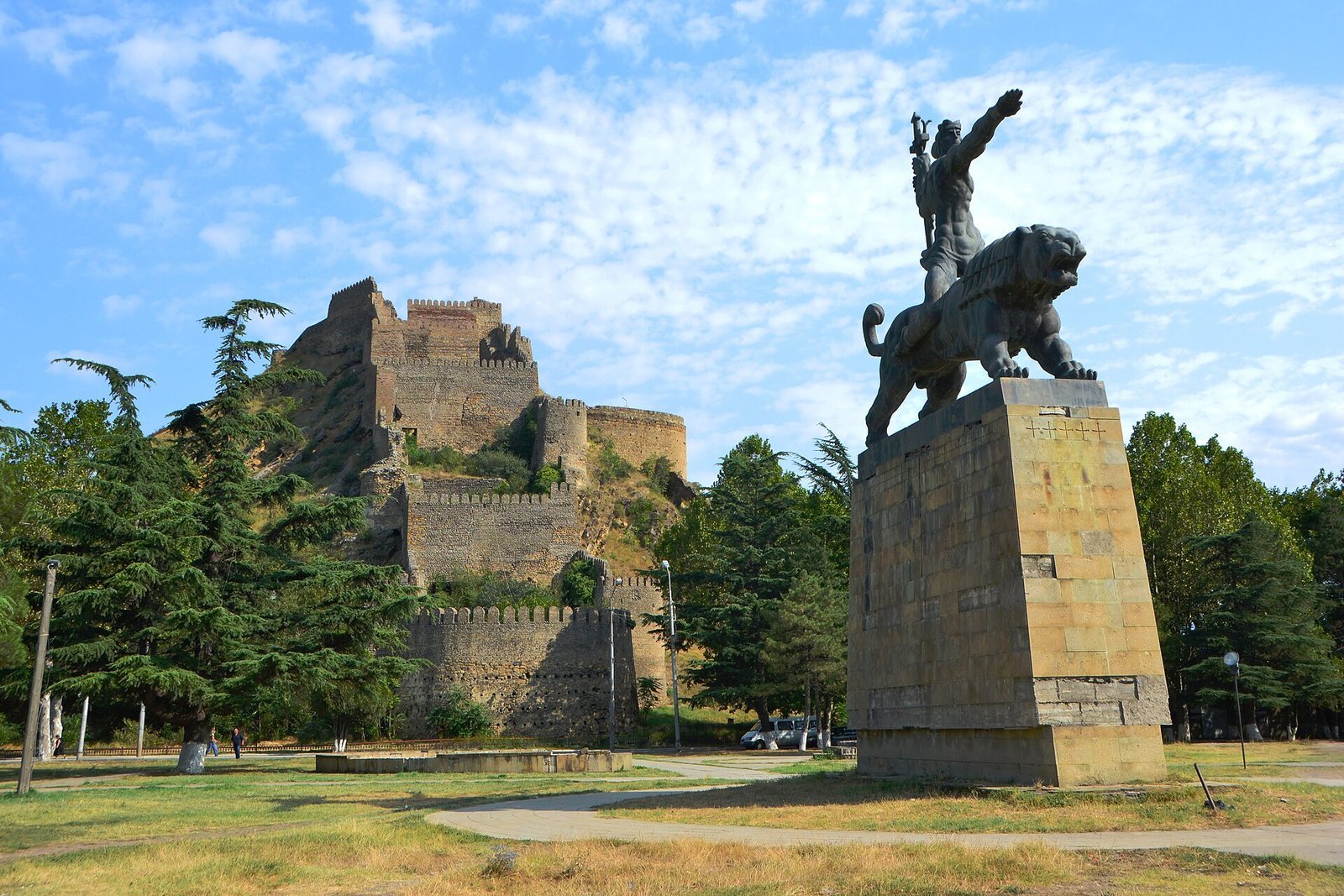
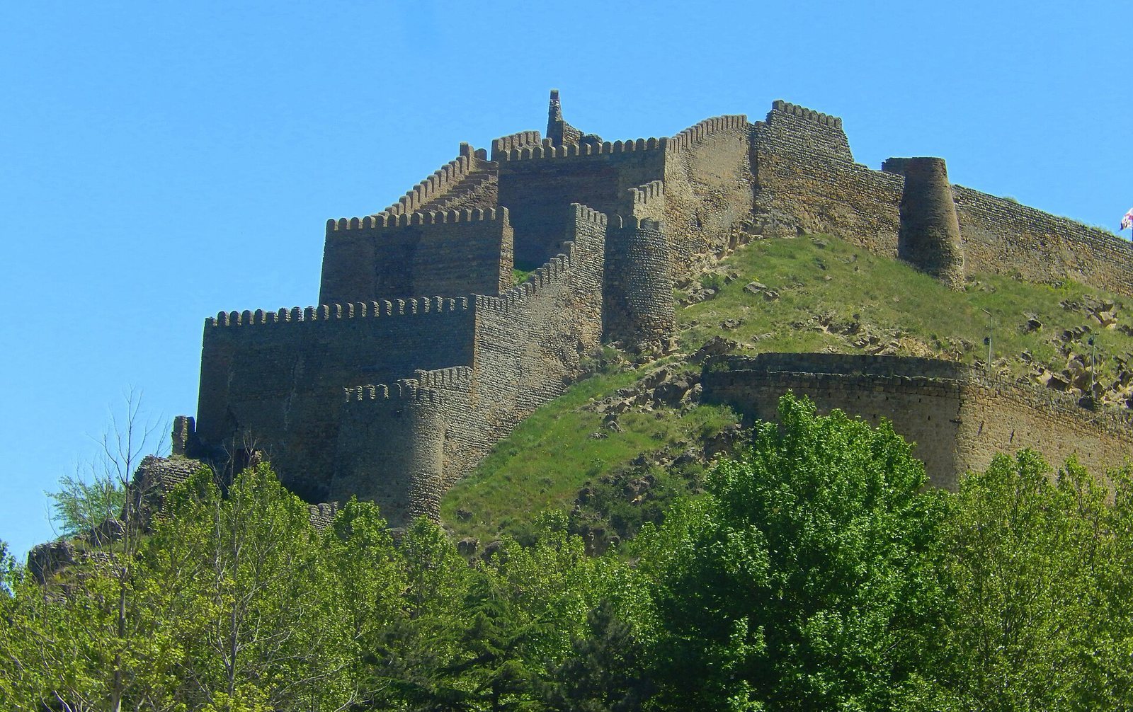
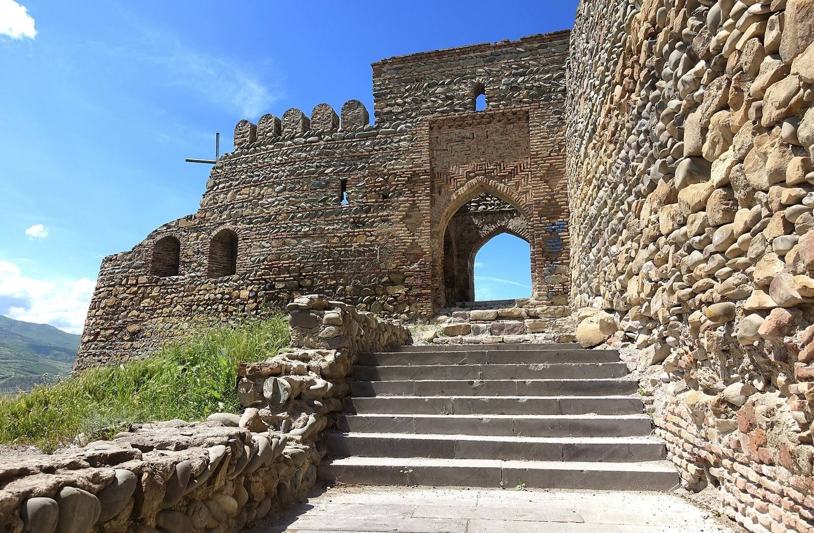
The fortress occupies a high, rocky hill at the meeting of the Liakhvi, Medjuda, and Kura rivers. Its oval citadel follows the contours of the hilltop, forming an elongated, irregular enclosure about 180 metres from east to west and up to 40 metres across. A 1824 city plan shows the citadel, the town on the hill slopes, and a moat surrounding both.
Citadel and defensive walls
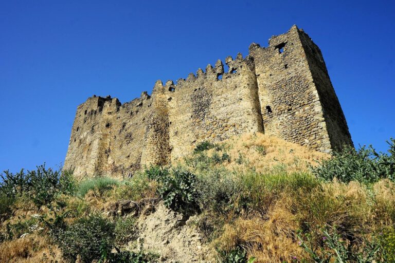
The western section, called Tskhra-kara (Nine Gates), is the best-preserved part of the fortress. Additional walls stand to the south and east, while lower stretches follow the slopes on those sides. A later gate with a vaulted, semicircular opening occupies the middle of the southern wall. On the west, the fortifications descend toward the river. They once reached the water, and a tunnel served to draw water; the river has since shifted away from the fortress.
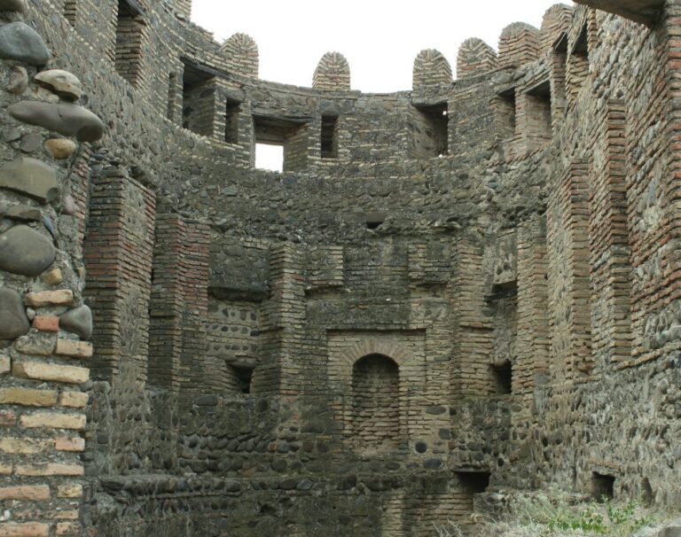
Rounded river stones and rubble form much of the construction, with dressed stone used in earlier layers. The outer walls rise between 2 and 10 metres and average about 2 metres in thickness. Surviving inner wall sections reach no more than 3 metres. Semicircular and square supporting structures strengthen vulnerable sections and bends. A fragment of wall found on the northern slope in 1946, after part of the slope collapsed, was dated to the first millennium BCE.
Water and underground features
A reservoir is associated with the fortress. Near the centre, a large underground chamber may have stored rainwater or water brought to the hill, though it has also been interpreted as a prison.
Religious buildings
Southeastern church
The ruin of a small church lies in the southeastern part of the fortress. Its surviving western wall nearly joins the fortification wall. Features of the building resemble monuments from the 10th and 11th centuries, although its exact date is uncertain. Local tradition also tells of a buried secret passage connecting the church with the town.
Eastern hall church
An 11th- to 12th-century hall church stands in the eastern part of the fortress. A hall church has an interior arranged as one space rather than divided into aisles.
Historical depictions
Castelli’s drawing from around 1642 depicts the fortress, while the 1824 city plan records the citadel, settlement, and encircling moat. A description from 1845 estimated the fortress at about 200 paces in length.