Hittite Sites
Hittite sites preserve the walls and temples of a Bronze Age capital, sanctuaries carved into rock and provincial cities connected to imperial rule. Their main geographical setting is modern Türkiye and northern Syria. Hattusa and its nearby monuments form the largest group of examples, while rock reliefs and regional centres trace Hittite activity farther south. Some places also contain the later monuments of the Iron Age kingdoms of southeastern Anatolia and northern Syria, often called Syro-Anatolian kingdoms.
Primary Function: All
Type: All
Country: All
Popularity: All
Rating: All
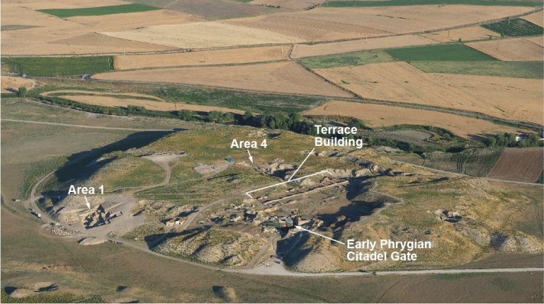
Gordion was the capital of ancient Phrygia and a major political center in Anatolia. Its citadel, defensive systems, burial mounds, and remains from…
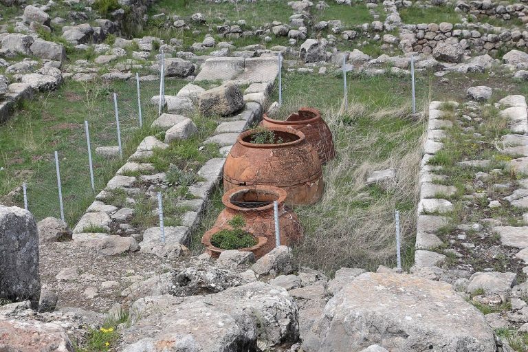
Hattusa developed from an ancient Anatolian settlement into the Hittite imperial capital. Its walls, temples, palace remains, and cuneiform archives…
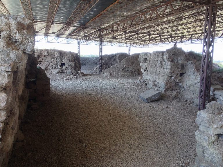
Alalakh grew from a regional center into a major Bronze Age city. Its successive palaces, temples, and cuneiform archives illuminate the political…
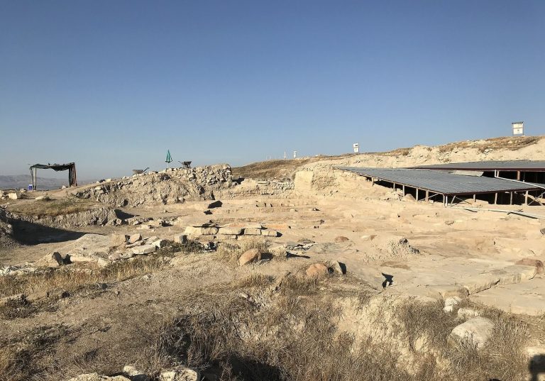
Occupied from at least the sixth millennium BCE, Arslantepe developed into a major center on the Malatya Plain. Its remains reveal successive…
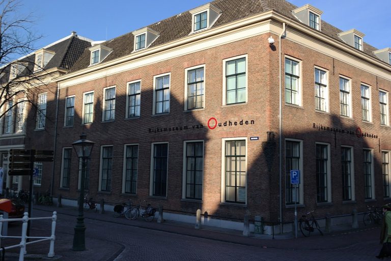
Founded in 1818, the National Museum of Antiquities Leiden grew from Leiden University’s antiquities collection into the Netherlands’ national…
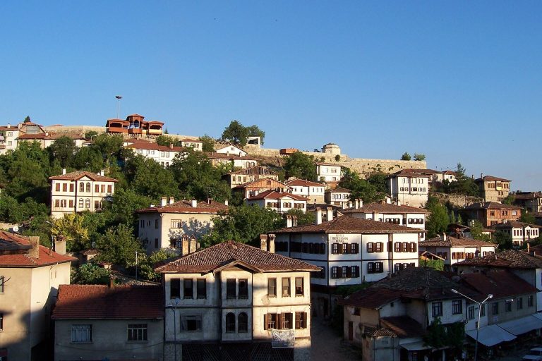
Safranbolu preserves a historic townscape shaped by ancient settlement, medieval principalities, Ottoman administration, caravan trade, and…
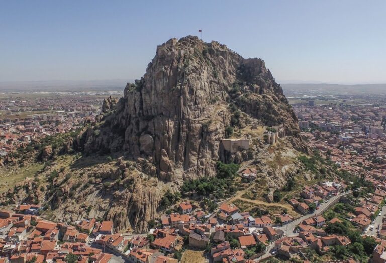
Afyonkarahisar Castle is a hilltop fortification with origins in the Hittite period and later phases under Byzantine, Seljuk, and Ottoman rule.
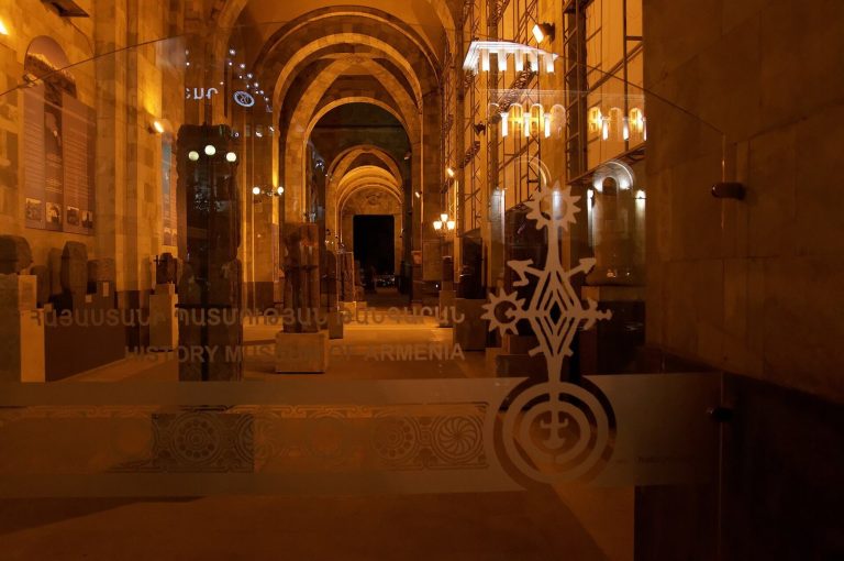
The History Museum of Armenia traces the country’s history from the Paleolithic era to the present through archaeological, ethnographic, numismatic,…
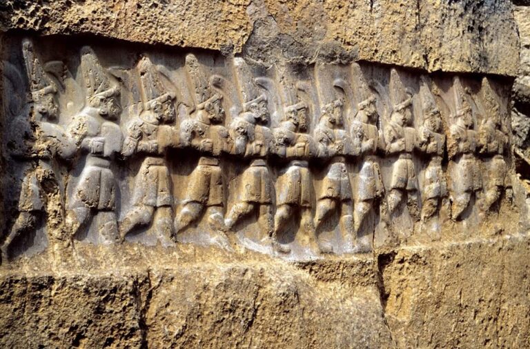
Yazılıkaya is a Hittite rock sanctuary near Hattusa in Türkiye, known for its thirteenth-century BCE reliefs of gods, kings, and mythological beings…
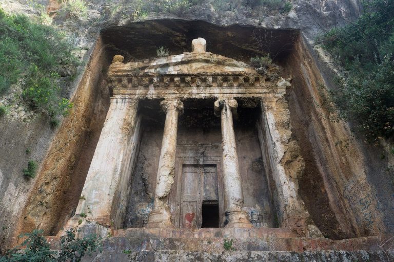
Telmessos was an important Lycian city whose history extended from the Bronze Age through the Byzantine period. Its surviving rock-cut tombs,…
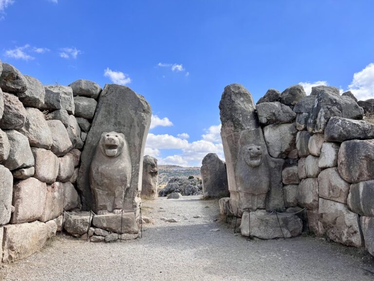
The Lion Gate formed part of Hattusa’s outer fortifications, combining a defended entrance with finely carved lion sculptures and evidence of Hittite…

Carchemish was a major city and political center on the Euphrates, whose history spans prehistoric settlement, Hittite and Neo-Hittite rule, Assyrian…
For details on how to use the maps, which sites are included, how popularity and ratings are determined, and how sites are classified, see the help page.
On this page4 sections
The capital and its defences
Hattusa, near Boğazkale in central Türkiye, was the capital of the Hittite kingdom and empire for much of the second millennium BCE. Its districts spread across a steep landscape of ridges and rocky outcrops. The royal citadel occupied high ground, while temples, residential areas and storage facilities filled other parts of the city. Stone foundations carried upper walls built with mudbrick and timber.
The Lion Gate formed a monumental entrance through the capital’s outer defences. Two towers flanked a passage framed by enormous stone blocks, with carved lions facing the approach. Their heads and forepaws project from the gate stones. The surviving masonry shows how the builders shaped irregular blocks to fit together; parts of the gate have been restored, including a missing lion’s head. The approach and flanking works channelled movement toward the controlled entrance.
The rock sanctuary
At Yazılıkaya, about two kilometres from Hattusa, natural limestone chambers became an open-air sanctuary. Rows of relief figures approach a central meeting of deities in the larger chamber. The principal scene brings the storm god Teshub together with the goddess Hebat, while other figures wear horned caps, carry weapons or stand on animals and mountain forms.
The reliefs were developed extensively in the thirteenth century BCE. King Tudhaliya IV appears among the carvings, and a scene in the narrower chamber shows him closely embraced by his protective god, Sharruma. Buildings in front of the rock chambers once organised entry through courtyards and rooms; their low foundations survive alongside the carved rock faces.
Royal rock reliefs
The Fraktin relief, south of Kayseri in Türkiye, depicts King Hattusili III and Queen Puduhepa making religious offerings in the thirteenth century BCE. A libation was an offering of liquid: the king tips a pouring vessel toward a container before the weather god, while the queen offers to the goddess Hebat. Altars separate the worshippers from the deities, and carved hieroglyphic inscriptions identify the royal figures.
Farther along the routes approaching the Taurus Mountains, the İmamkulu relief occupies a large boulder near the Gezbel Pass. Its central weather god rides a chariot drawn by bulls above a group of mountain deities. A smaller human figure carries a bow and spear beside the divine scene. An inscription identifies this figure as a king’s son, joining a named royal participant to the religious imagery.
Provincial cities
Alalakh, in the Amuq Plain of Hatay, southern Türkiye, had a long history as a regional capital before it entered the Hittite sphere in the fourteenth century BCE. Its older palaces were followed by repeated fortress construction during the period of Hittite expansion. Excavations have distinguished northern and southern fortified complexes, alongside the temple and residential areas of the city.
Carchemish occupied an important Euphrates crossing at the present Türkiye-Syria border. The Hittite king Suppiluliuma I installed his son as ruler there in the fourteenth century BCE. The city remained a centre of royal power after the Anatolian empire ended around 1200 BCE. Its later gates, sculptured stone panels and inscriptions belong to the Syro-Anatolian kingdoms of the Iron Age, continuing regional royal traditions in a different political setting.
Use the map markers and grid entries to open the individual site articles. Country and building-type choices help distinguish cities from rock monuments; the articles identify the relevant Bronze Age structures and later building phases.