Anderitum: Capital of the Gabali in Roman Gaul
Site at a Glance
- Popularity
- Medium
- Country
- France
- Primary era
- Classical
- Eras represented
- Iron Age, Classical
- Civilizations
- Celtic, Roman
- Site type
- City
On this page27 sections
History
Anderitum was a Gallo-Roman town at Javols, in present-day Peyre-en-Aubrac, France, probably founded as a planned settlement around 15 BC under Augustus, Rome’s first emperor. It became the capital of the Gabali, a people of Roman Gaul, whose civitas was a territorial and administrative district usually organized around a principal town. Anderitum held this role from the late first century BC until about the fifth century AD.
Before and at the foundation
People lived in the area from at least the second century BC. These early settlements belonged to the La Tène culture, an Iron Age tradition of western and central Europe, and were dispersed across the landscape rather than concentrated in a major regional capital. A settlement on Barry Hill, south of the later town, may have had a religious role. Activity continued around the plain and beyond the eventual urban center.
Anderitum’s planned foundation took place in the final decades of the first century BC. Roads and coins of Nîmes point to activity at this early stage, while parts of the street plan, civic center, and housing developed from the beginning of the first century AD. Drainage projects helped make marshy ground beside the Triboulin suitable for building. The reasons for placing the new capital near the edge of Gabali territory remain uncertain. One possibility is that Augustus’s creation of the Gabali district and its capital reduced the people’s dependence on their neighbors, the Arverni, and limited the Arverni’s influence.
Anderitum stood at an important road junction. One route linked Lyon with the territory of the Ruteni and their capital at Rodez; a north-south route connected Clermont-Ferrand with Languedoc and the Mediterranean. The town also became the main settlement in the northern part of Gabali territory. Its name is generally interpreted as meaning “great ford,” though another proposed translation is “in front of the ford.” The late Roman form ad Gabalos meant “town of the Gabali”; the later name Javols followed it.
Growth and prosperity
Urban development gathered pace during the second half of the first century AD, when Rome was ruled by the Flavian emperors. The street network was strengthened, public works expanded, and housing spread. Granite was quarried at the town’s edge, and at least one cemetery outside the built-up area came into use. Gallic customs persisted even as Roman planning, public architecture, and ways of life increasingly shaped the community. The adoption of Roman domestic habits was gradual, becoming more widespread in the later first century.
Anderitum reached its greatest extent in the second century, probably during the reigns of the Roman emperors Hadrian and Antoninus Pius. The civic center and existing public facilities were renewed, while further construction and workshops added to the town’s activity. At its height, the settlement may have covered 35 to 40 hectares, with a denser planned area of nearly six hectares on the Triboulin’s left bank and a population numbering several thousand.
Contraction and the end of the capital
The town appears to have begun contracting by the end of the second century. Fires in central and outlying areas between the late second and late third centuries damaged buildings, after which rebuilding was often more modest. The built-up area shrank from the third century, although main streets and residential areas continued in use into the fifth. In the second half of the third century, the entertainment building was destroyed at least in its upper sections or adapted for civic purposes. A milestone dedicated to the emperor Postumus was placed in the center of its arena.
A church may have been established by the beginning of the fourth century. Around 530–540, the Gabali capital probably moved to Mende, which also became an episcopal seat. The change appears to have hastened Anderitum’s decline, although its timing and effects are not certain. Banassac may have served temporarily as the bishop’s seat between Javols and Mende. Pilgrimage to Saint Privat, a Christian martyr regarded as an early bishop of Gévaudan, further supported Mende’s importance.
From the sixth century, the lower town beside the Triboulin was increasingly used for agriculture rather than urban life. Flood risk in the valley may have contributed to the change. A local story attributed the town’s submergence to a dragon. Settlement shifted southwest, while the ancient site faded from the urban landscape; its remains were probably used as a source of building stone, and pine woodland gradually returned to cultivated slopes. Religious, political, and climatic changes may all have contributed to the town’s decline, but their relative effects remain uncertain.
Rediscovery and archaeological study
Writers recognized the site’s ancient character by the seventeenth century. In 1828, the discovery of a milestone at Javols helped establish the identification with Anderitum. This identification became widely accepted in the twentieth century after an earlier proposal had placed Anderitum at Anterrieux in Cantal. The town’s name also appears in ancient geographical works: Claudius Ptolemy used the form Andérèdon in the second century, and the Ravenna Cosmography gives Andereton.
Archaeological investigations followed the milestone’s discovery, with research during the nineteenth century, excavations in 1950, 1969–1978, and 1987–1994, and rescue work in the early 1990s. A collaborative research program beginning in 1996 combined renewed study of the evidence with surveys and excavations; further observations have taken place during rescue archaeology since 2010. The monumental center received historic-monument status in 1954, and protection was extended to the whole site in 1991.
Remains
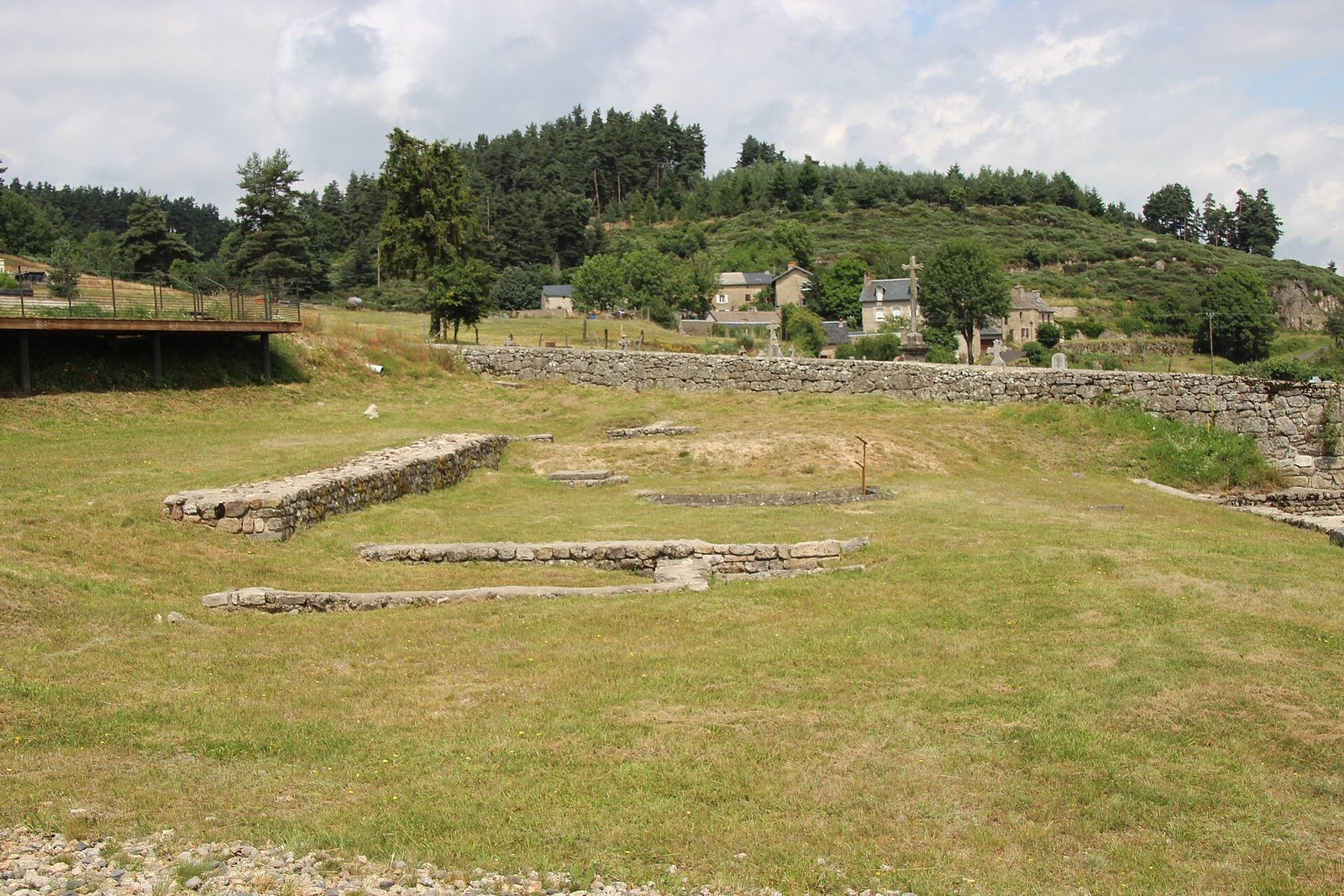
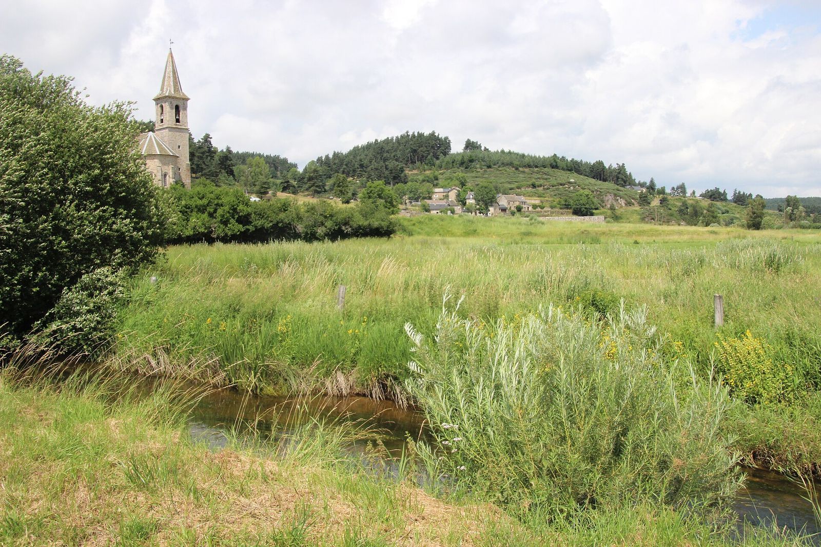
Anderitum occupied the widened valley of the Triboulin and extended partway up the surrounding hills, between 972 and 1,015 meters above sea level. At its greatest extent the town covered about 40 hectares, while its planned street grid occupied just under six hectares of the flatter valley floor. Builders formed level building terraces by cutting into the natural ground or adding fill. Public structures were generally built from small granite blocks, with larger stones used for features such as corners, thresholds, foundations, and riverbanks.
Town layout and river engineering
Street plan and terrain
The planned area had a rectangular street grid. Two east-west streets are known, with four or five further lines proposed; three north-south streets may also have existed. Beyond the grid, roads followed the contours of the surrounding hills. The broader settlement included areas outside the denser planned center.
Triboulin channel works
In the southeastern part of the settlement, granite blocks arranged in at least four superimposed rows confined the Triboulin to a channel 11 meters wide. Iron clamps, secured with lead, joined the blocks. The works shifted the stream eastward and made more ground available for building. One or two fords may have maintained road crossings, while a bridge may have continued a central north-south street toward the entertainment building.
Earlier river channels beneath the monumental center show that the Triboulin had changed course naturally. As the town declined, the engineered course gave way again to a natural channel. Seasonal flooding may have prompted the Roman works, and the stream’s average level in modern times is at least 1.5 meters above its ancient level.
Civic center and public buildings
Forum and civic buildings
Excavation and aerial survey confirmed a forum, a public space for civic and commercial activity, whose first phase probably dates to the reign of Augustus. The open area measured about 70 by 50 meters and was bordered on at least two sides by covered walkways and shops. A council building stood to the north. In one phase, it had a honeycomb-patterned mosaic floor and a large entrance facing the forum.
During the second century the forum grew southward and eastward. A basilica, a large public hall, was built across its northern end, cutting through the earlier council building. The hall measured an estimated 50 by 23 meters. A street may have run between the basilica and the forum.
Entertainment building
The buried entertainment building stood on the slope and lower part of Barry Hill, overlooking the town from its southern side on the Triboulin’s right bank. Its shape is uncertain. It may have been an amphitheater, with seating around an arena, or, more probably, a combined theater and arena structure with incomplete seating and a circular performance space. Its greatest dimension was no more than 80 meters, and construction may date to the second half of the first century. Part of its outer wall was excavated in 2012.
Monumental entrance
At the eastern north-south street, excavators uncovered the facade and monumental entrance of a public building whose purpose is unresolved. It may have served as a meeting hall for an association.
Baths and water systems
Western baths
The western baths, known since the mid-nineteenth century, may have included as many as 43 rooms, though the total could combine several building phases. A cold pool and a room heated by an underfloor heating system remain identifiable. Earlier excavations described water channels supplying the complex, but their precise courses are uncertain.
Eastern baths
The eastern baths followed the street grid rather than the nearby river. Established around the middle of the first century and renovated repeatedly during the second, they included cold, warm, and hot rooms, together with a furnace room. The rounded end of the cold pool rested against the granite river-channel works. Water came from a well and probably also from the Triboulin.
Wells, channels, and drains
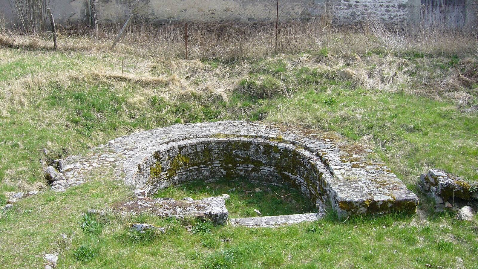
The water supply is only partly understood. Possible water channels approached from Cros Hill to the northwest, from the east near the baths, and from the southwest. A public fountain at a crossing in the monumental center may have been fed by the northwestern route. At least seven wells, estimated to be three to seven meters deep, are known; springs and direct access to the Triboulin may also have supplied water.
Several drains are known or suspected around the settlement, including in the entertainment building and monumental center. Their floors used schist slabs or roof tiles, and their sides were made from stones set upright. A building beside the western riverbank works, probably constructed around the middle of the first century, may have been a food-storage warehouse. Its heated rooms are compatible with that possible use.
Homes and production
Domestic construction
Private houses stood in the planned center and farther out. Their walls commonly had two outer faces of small granite blocks around a thin inner core, sometimes strengthened with tile courses and larger stones. Roofs were probably covered with tiles or made from perishable materials such as thatch or wooden shingles. Harsh winters may have encouraged the use of underfloor heating or fireplaces built into walls.
Peyre house
South of the present cemetery, at the meeting of two streets, the Peyre house comprised three or four buildings arranged around a courtyard. Some stood on terraces; a basin occupied one side, and shops probably opened onto the east-west street. Built around the middle of the first century, the complex went through several phases before its destruction in the early third century. Its modern name honors archaeologist Pierre Peyre, who excavated the area in the 1970s.
Northern house
A large house in the northern part of the dense settlement contained several ovens, a fireplace, and an extensive system for carrying away water. Its earliest phase appears to date to the Augustan period. Later renovations were followed by a probable third-century fire; in the later Roman period, a more modest building occupied the site.
Right-bank houses
About 200 meters south of the entertainment building, several buildings stood around a courtyard on the Triboulin’s right bank. One was set on a terrace cut into the granite ground. The group may represent one or two houses, built and altered from the early first century to the early third.
Workshops and food
Craft activity included work in lead, iron, and bronze, as well as woodworking. Iron slag points to ironworking, probably at a final preparation stage because local iron ore was unavailable. Two bronze-working shops stood in the town center. Tools, household objects, and wood-carving scraps indicate woodworking, while a jeweler’s workshop outside the center produced engraved gemstones. Pottery and tile making appears to have served mainly local needs.
More than 350 transport jars, known as amphorae, have been found or reconstructed. Around 40 percent, mostly of one common Roman type, carried Gallic wine; other vessels came from Spain, Italy, and Rhodes. Containers also held oil, alum, fish sauce, and salted seafood, including oysters. Finds of wheat, barley, oats, peas, lentils, fava beans, and pine nuts, alongside bones of cattle, sheep, goats, pigs, and poultry, reflect the range of foods consumed.
Burials and religious objects
Cemeteries
Two early imperial cemeteries lay northwest and northeast of the town, beyond the built-up area, near a possible bypass of the Lyon-to-Rodez road. They came into use around the middle of the first century or somewhat later. Most burials were cremations with funerary urns, alongside burials of uncremated bodies. Their discovery in 2001–2002 helped clarify the town’s northern extent.
A cemetery southwest of the settlement contained stone-coffin burials and was used from the middle of the fourth century through the sixth or seventh. Another cemetery near the western baths belongs to the early medieval period and consisted mainly of burials in the ground; it may have been associated with Javols’s first church.
Sculpture and figurines
A 1.76-meter red-sandstone statue of Silvanus-Sucellus, a Gallo-Roman deity combining the Roman woodland god Silvanus with the Gaulish god Sucellus, was found during excavations in the late 1960s. It depicts an amphora, a large storage and transport jar, and a barrel. These attributes have led to suggestions that the deity was associated locally with woodworkers, barrel-makers, or wine merchants. The statue was probably not found in its original position.
Numerous ochre or white clay figurines, mostly depicting Venus or mother goddesses, date from the first to the early third century. One well-preserved figure, though headless, shows a goddess nursing two children. Most came from later deposits dating to the late Roman period or early Middle Ages, and indicate that religious practices also took place in domestic settings. On Barry Hill, a La Tène structure followed by offerings from the first century BC suggests that a place of worship may have existed nearby.
Materials and preservation
Granite, weathered granite sand, and granulite supplied much of the town’s building material. Public monuments and decoration also used sandstone, schist, limestone, porphyry, and marbles from regions as distant as Tunisia, Turkey, Italy, and Egypt or the Peloponnese. Limestone paving was sometimes reused when buildings went out of use. Writing tools made of metal, several fir-wood tablets, and graffiti on pottery provide further evidence of everyday activity.
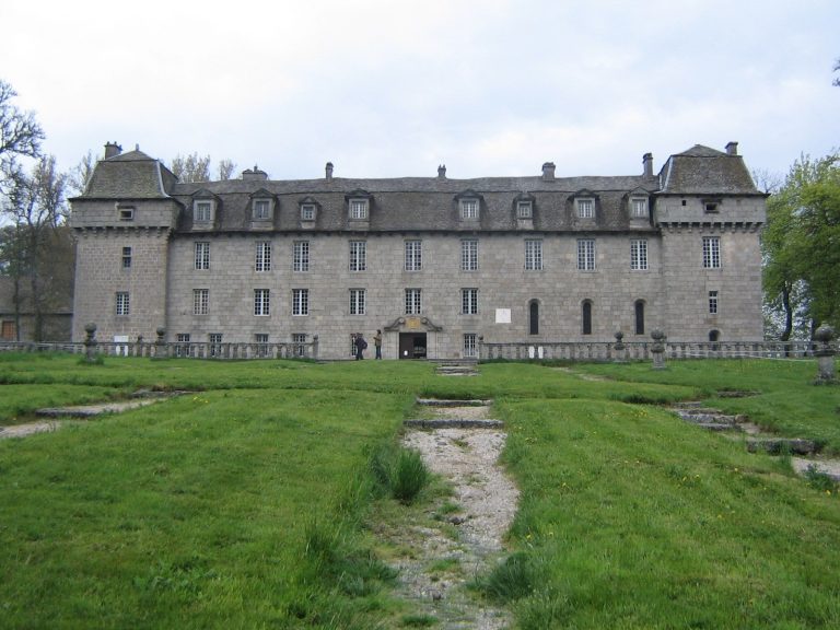
Acidic soil speeds the deterioration of stone, pottery, and bone. Deposits moving down the hillsides erode foundations on higher ground, while shallow groundwater in the monumental center limits deep or prolonged excavation. These same slope deposits protect some lower remains, and structures survive in places to a height of two meters. Landscape works have recreated the ancient street layout and monumental center, and important remains have been restored.