Bradgate Park: A Historic Deer Park in Leicester, United Kingdom
Site at a Glance
- Popularity
- High
- Country
- United Kingdom
- Primary era
- Medieval
- Eras represented
- Medieval, Early Modern, Modern
- Civilizations
- British, English
- Site type
- Domestic
- Remains
- Park
On this page22 sections
History
Bradgate Park is a historic deer park in Leicester, United Kingdom, first recorded in 1241 as a hunting ground within the Manor of Groby, a landed estate and unit of lordship. Its medieval history began earlier: the land belonged to Ulf during the reign of Edward the Confessor, an English king before the Norman Conquest. After the conquest, William I granted the manor to Hugh de Grandmesnil, a Norman lord who had supported him in war.
Medieval origins and the Grey family
The name Bradgate may come from an Old Norse expression meaning “broad road” or an Anglo-Saxon one meaning “broad gate.” The park first recorded in 1241 was smaller than the landscape enclosed today. Ownership passed from the Beaumonts to the de Quincys and then to William de Ferrers of Groby. In 1445, it entered the Grey family when de Ferrers’s only surviving daughter married Edward Grey. An inquiry after de Ferrers’s death valued the park’s grazing, pig-foraging rights and underwood at 40 shillings a year.
The Greys kept the estate for about five centuries. In the late fifteenth century, the first Marquess of Dorset enlarged the park, adding farmland formerly worked by Newtown Linford and land belonging to the now-lost village of Bradgate.
Bradgate House and Lady Jane Grey
Edward Grey’s son, Sir John Grey of Groby, married Elizabeth Woodville, who later became queen consort to Edward IV. Their son Thomas Grey, 1st Marquess of Dorset, planned a house at Bradgate but died before construction began. His son, Thomas Grey, 2nd Marquess of Dorset, built Bradgate House. Its completion is usually placed around 1520, though the date is uncertain: the visible walls cover remains of an older house, where Lady Jane Grey is thought to have lived.
Thomas Grey’s son Henry, 3rd Marquess of Dorset, married Frances, daughter of the Duke of Suffolk and Mary Tudor, Henry VIII’s younger sister. Their daughter Lady Jane Grey was probably born at Bradgate House on 12 October 1537. In July 1553, when Jane was fifteen, John Dudley, Duke of Northumberland and her husband’s father, proclaimed her queen of England and Ireland in opposition to Mary I. Mary had stronger support, and London’s Lord Mayor proclaimed her queen on 19 July. Dudley, one of his sons and Jane were eventually beheaded for treason.
A tradition links the park’s pollarded oaks with Jane’s death in 1554, interpreting the repeated cutting of their upper branches as a symbolic beheading. Pollarding also encouraged growth beyond the reach of browsing deer and helped the trees grow old. Whether estate workers intended the symbolic association is uncertain.
Eighteenth and nineteenth centuries
Old John, a tower built as an ornamental folly on the park’s highest hill, became the subject of a local story about an estate worker named John. According to the tale, he died in a bonfire accident during celebrations for George Grey’s twenty-first birthday. The chronology is doubtful: a map from 1745 already names the hill Old John, while George Grey did not turn twenty-one until 1786. The seventh Earl of Stamford later used the tower as a viewing point for his horse-racing practice circuit.
Cropston Reservoir was built in the park’s south-eastern corner in 1871, following cholera outbreaks in 1831 and 1841. It was Leicester’s second reservoir, after Thornton. Raising the water level by 2 feet (60 centimetres) in 1887 increased its capacity, and its original steam-powered beam engines remained in use until 1956. A second, covered reservoir was added on the park’s northern side in the early 1960s. Bradgate Park became a separate civil parish in 1858; the parish was abolished on 25 March 1884 and divided among Newtown Linford, Anstey and Ulverscroft. Its population was six in 1881. During the nineteenth century, the Greys allowed public access on several days each week.
Public park and archaeological evidence
After the seventh Earl of Stamford’s widow died, the estate passed in 1905 to his niece, Mrs Arthur Duncombe. In 1928, businessman Charles Bennion bought the Grey estate, including Bradgate Park and the ruins of Bradgate House, and gave the park in perpetuity to the people of Leicestershire for preservation in its natural state. Public access began in 1929. Plaques on Old John and the main path commemorate the gift. Bennion’s son later donated adjoining land, and Leicester City Council bought another 46.5 acres in 1936.
A charity established to manage the gift became fully operational in 1931. That year it joined with the trust for neighbouring Swithland Wood under the Bradgate Park trustees. The Bradgate Park and Swithland Wood Charitable Trust, also known as the Bradgate Park Trust, now administers the site, with trustees nominated by Leicestershire County Council, Leicester City Council and the National Trust. Bradgate Park and Cropston Reservoir together form a 399.3-hectare Site of Special Scientific Interest, a protected area designated for biological and geological value.
Archaeological work begun by the University of Leicester in 2014 identified evidence of human sites dating to about 14,500 years ago. In June 2017, a fire destroyed one of the park’s ancient oaks.
Remains
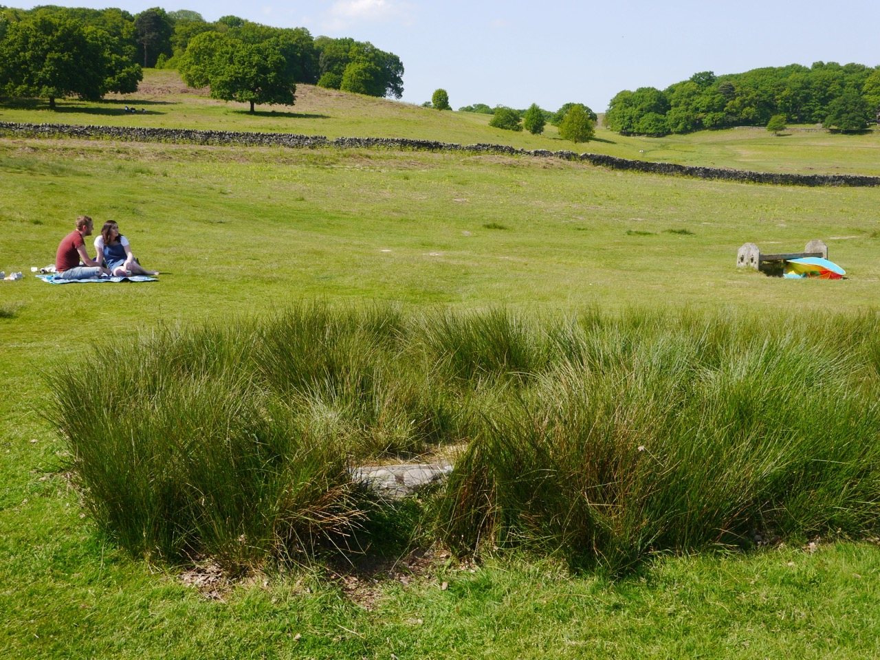
The park covers about 850 acres (340 hectares) in Charnwood Forest, north-west of Leicester, between Newtown Linford, Anstey, Cropston, Woodhouse Eaves and Swithland. Its ground rises from about 75–80 metres to 212 metres. The River Lin crosses the park and flows into Cropston Reservoir in its south-eastern corner, while Swithland Wood lies to the north-east. Rocky moorland, crags, wooded enclosures and historic structures form a landscape shaped by both human use and exposed geology.
Park landscape and historic structures
Boundaries and woodland
The medieval deer park was enclosed by an earth bank and ditch, topped with upright oak stakes. Its earliest ditchworks crossed the River Lin east of Little Matlock Gorge. The park’s only resident, a parker, lived in a moated house and cared for deer kept for the lord of Groby Manor to hunt. Dry-stone walls now mark the northern and western boundaries; lichen dating places their construction in the seventeenth or early eighteenth century. Walled woodland enclosures were created in the early nineteenth century to provide cover for shooting.
Bradgate House
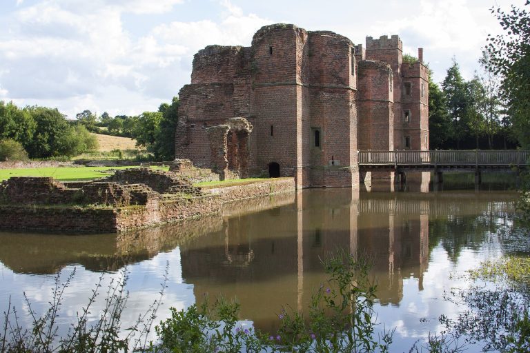
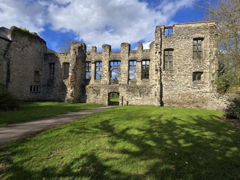
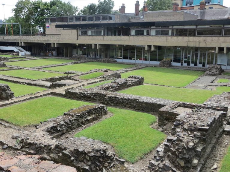
The visible remains of Bradgate House include walls built over an older house. Bricks were made from red clay derived from the local Mercia Mudstone. Deadly nightshade grows among the ruins; Leicester Polytechnic’s School of Pharmacy established the plant there during the Second World War for medicinal use.
Stable Pit
Near Bradgate House, the medieval quarry known as Stable Pit exposes quartz arenite, a sandstone composed mostly of quartz, with a smooth, glassy appearance. A sheet of igneous rock called a dyke cuts through the exposure; this diorite dyke is about one metre wide.
Old John and the war memorial
Old John stands on the park’s highest hill. Built in 1784, the tower is a folly, a structure made chiefly as an ornamental feature. It and the war memorial are landmarks above the 210-metre contour.
Reservoirs and river pools
Cropston Reservoir occupies part of the park’s south-eastern corner, covering the former Head Keeper’s house and a substantial area of parkland. Pools along the River Lin allow silt to settle before the water enters the reservoir. The second reservoir, built beneath a cover, lies on the park’s northern side.
Moorland, woodland and wildlife
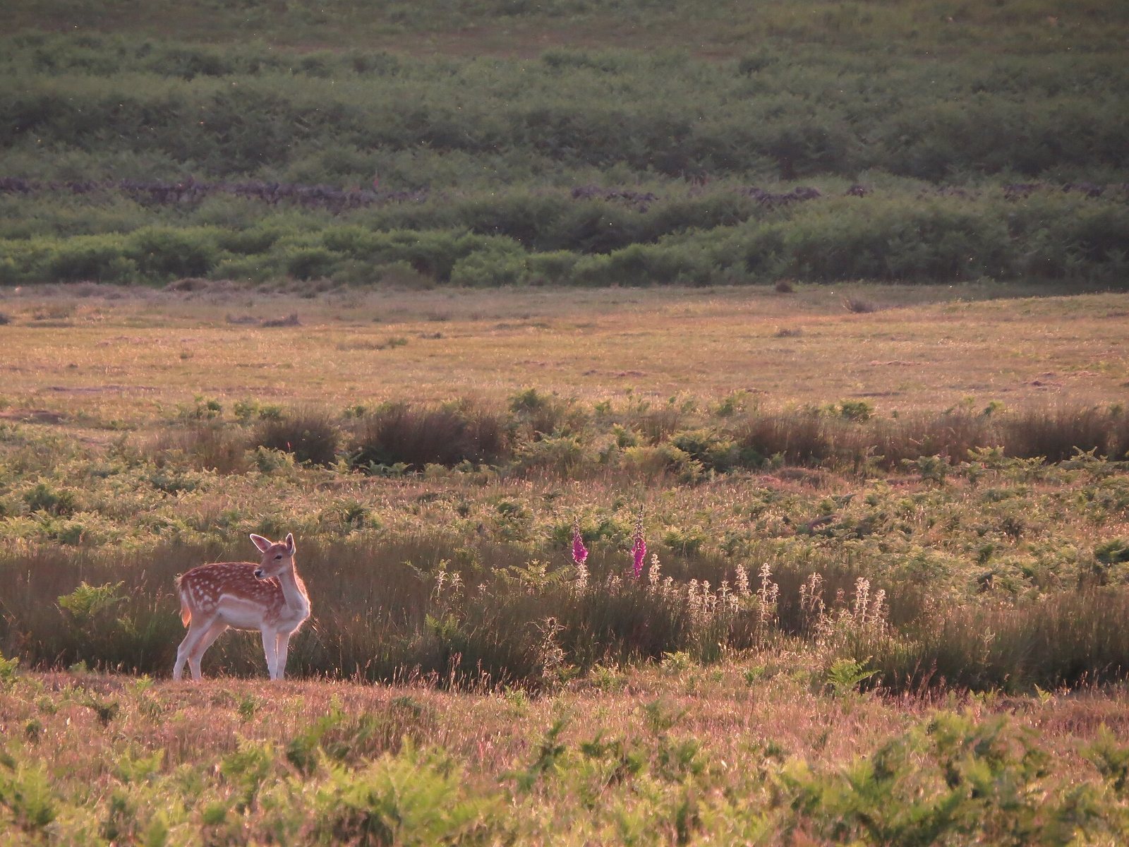
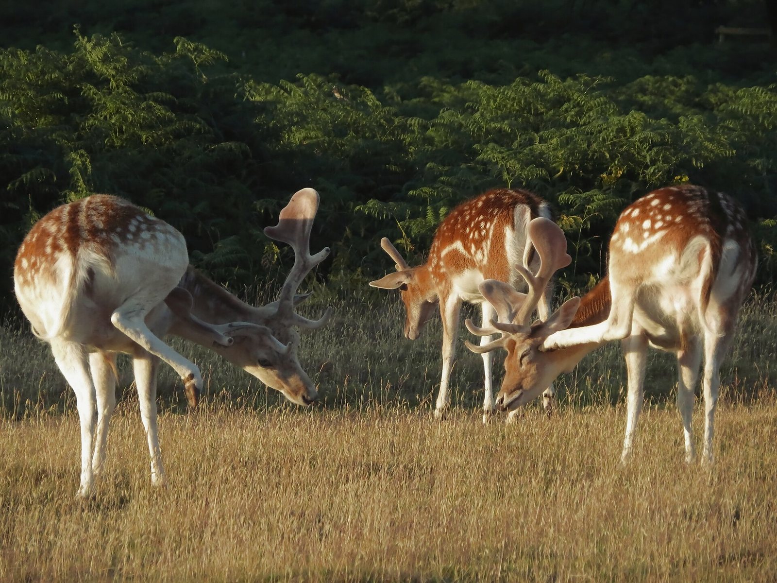
Coarse grass and bracken cover the rocky moorland, while the walled enclosures contain pine and mixed deciduous woodland. Ancient oaks, some several hundred years old, grow across the park. Red and fallow deer remain there, probably with an unbroken presence since medieval times. The reservoir attracts wildfowl; the river and woods provide habitat for birds, including nesting rooks. Yellowhammers, reed buntings, skylarks and meadow pipits occur in open areas.
Geology and fossils
Exposures range from Precambrian rocks, formed before the Cambrian period, to Quaternary deposits associated with the most recent ice age. They appear as crags on hillsides and in outcrops along the River Lin valley and on hilltops, including around Old John. The park contains rocks of the Charnian Supergroup, an ancient group of formations in Charnwood Forest that formed about 560 million years ago.
Beacon Hill Formation
The oldest local rocks belong to the Beacon Hill Formation, exposed near the summits of Old John and the war memorial. They appear to have formed in deep water from volcanic ash and other fragments thrown out during eruptions, then to have been disturbed by underwater slumping and flows. The deposits range from coarse tuff, rock formed from volcanic ash, to finer, smoother ash layers. Pale grey to cream examples occur north of Old John. Deep burial, mountain-building, heat, pressure and erosion helped shape the hard, jagged outcrops visible today.
Bradgate Formation
Farther down the southern hillside, the Bradgate Formation lies above the Beacon Hill Formation. Its Sliding Stone Slump Breccia, a rock containing angular fragments, forms a line of crags below Old John. It consists of layered mudstone with sandstone bands, mainly of volcanic origin. The beds are bent and folded; these patterns are thought to have developed while the sediments were still loose and water-saturated. Suggested causes include slumping, earth tremors or fault movement, trapped water or gases, and impacts from volcanic bombs. Younger rocks from the formation occur farther down the slope, where uplift, tilting and erosion brought them to lower elevations.
South Charnwood Diorites
The South Charnwood Diorites are the youngest Precambrian rocks in the area. Locally called granite and once described in geological writing as markfieldite, they formed when magma entered older formations and cooled slowly underground. Erosion later exposed them as cliffs and blocky outcrops along the Lin valley, through Little Matlock Gorge and near Bradgate House. The intrusive igneous rock contains feldspar, quartz and dark minerals. Diorite is also quarried commercially at Groby and Markfield.
Hanging Rocks Formation
An outcrop of the Hanging Rocks Formation overlooks Cropston Reservoir; another example lies at Hangingstone Hills, about four kilometres to the north. The formation’s age is uncertain, between the late Precambrian and early Cambrian. It includes conglomerate, rock containing rounded pebbles, with volcanic pebbles mostly 5–15 millimetres across and some as large as 100 millimetres. The pebbles may have been smoothed on a volcanic shoreline before moving into deeper water. Although the formation is younger than the Bradgate Formation, it lies at a lower elevation. Fault movement is considered a more likely explanation for this position than a channel cut into the sea floor. Peat and glacial clay conceal contacts between neighbouring rock sequences.
Brand Group and Swithland Slate
The Brand Group is now classified as early Cambrian and includes Swithland Slate, formerly placed among the Precambrian rocks. The slate supplied local roofing material and gravestones. Extensive exposures in nearby Swithland Wood were quarried until the mid-nineteenth century. The Stable Pit Member, near Bradgate House, also belongs to the Brand Group.
Triassic Mercia Mudstone
Red Mercia Mudstone formed from windblown silt deposited in desert conditions and later became waterlogged as the East Midlands crust sank. The clay is exposed where it was extracted across the stream from Bradgate House. It also lies beneath much of the valley floor around and under Cropston Reservoir, indicating that the Lin valley existed about 220 million years ago.
Glacial deposits
Glacial Boulder Clay covers much of the park and surrounding area. As the ice melted about 10,000 years ago, it left a poorly sorted mixture of clay, sand, pebbles and large stones. The rocks used in park walls may therefore have come from nearby or travelled from northern Britain or northern Europe.
Precambrian fossils
Bradgate Park and neighbouring Charnian rocks contain the only known Precambrian fossils in Western Europe. About 50 examples are known in the park, mostly two-dimensional impressions shaped like fronds or disks. They were once described as seaweed, jellyfish, corals or sea anemones, and are now assigned to the Ediacara biota, ancient organisms known chiefly from late Precambrian fossils. Their biological classification remains uncertain. Park examples include Bradgatia linfordensis, Charniodiscus concentricus and Charnia masoni.