Proserpina Dam: A Roman-Associated Water Reservoir near Mérida, Spain


Site at a Glance
- Rating
- 4.6
- Popularity
- Low
- Country
- Spain
- Primary era
- Medieval
- External website
- Open
- Eras represented
- Classical, Medieval, Early Modern, Modern
- Civilizations
- Roman, Spanish
- Site type
- Infrastructure
- Remains
- Dam
On this page11 sections
History
Proserpina Dam is a Roman-associated reservoir and earth dam near Mérida, Spain, traditionally linked to construction during the foundation of the Roman colony of Augusta Emerita in the late first century BC. The colony later became the capital of Lusitania, a Roman province, and the reservoir lies about 4 to 5 kilometres north of the city at the foot of the Sierra de Carija. It gathers water in the Guadiana basin from the Las Adelfas and Las Pardillas streams.
Roman origins and the water supply of Mérida
The dam’s earliest history remains unsettled. One proposed sequence begins with a structure about 6 metres high that was enlarged during the second century AD. Another places the Roman construction around AD 130, during the reign of Hadrian, the emperor who ruled from AD 117 to 138. Cleaning work and material analysis after the reservoir was drained in 1991 and 1992 identified material from the first and second centuries AD, supporting a Roman phase in the lower part of the structure.
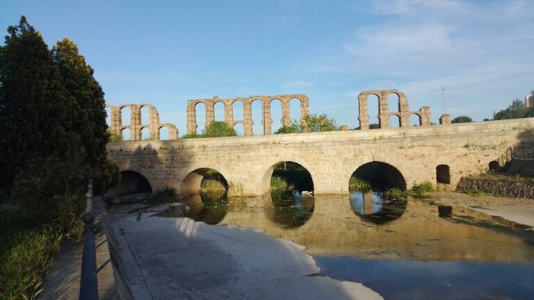
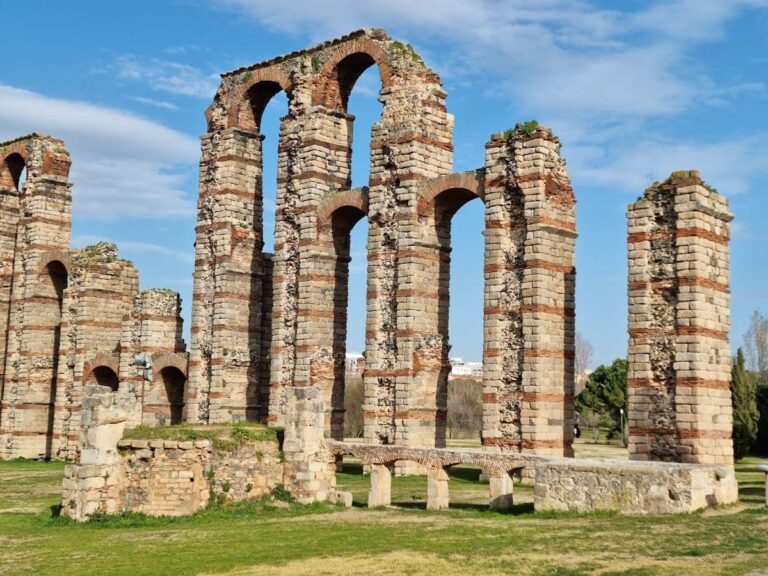
Proserpina has long been associated with the Los Milagros Aqueduct, one of the major Roman water-supply works of Augusta Emerita. The reservoir has therefore been considered a possible head of one of the city’s three water systems. That interpretation is disputed. The lower structure that may be Roman does not reach the aqueduct’s intake level, and Roman conduit remains extend beyond Proserpina. The reservoir may consequently have served another purpose, or may have had a wider role that included irrigation and possibly the watering of livestock.
Later enlargements and continued use
The visible first construction stage has also been judged more characteristic of the early medieval period, between the sixth and tenth centuries, than of ordinary Roman building practice. The earth embankment appears to have developed through several phases. A late antique initial dam was followed by a first medieval enlargement, a second enlargement in the seventeenth century, and a final alteration that may belong to the modern period. Masonry from the third stage carries quarry marks associated with the seventeenth century.
The decline of the Roman aqueduct did not end the history of the dam. Its retaining wall and reservoir remained in use, with irrigation, bathing, and recreation encouraging repeated maintenance and modification. The reservoir continues to be used for bathing and recreation, helping explain the long survival and alteration of the hydraulic system.
Names, conflict, and modern protection
For centuries the reservoir was called Charca de la Albuera or Albuhera de Carija. These names relate to the Arabic term for a lagoon, the Albuhera stream, and nearby Carija Mountain. The present name became established after an eighteenth-century discovery of a stone invoking Ataecina-Proserpina, a divine identity joining the local goddess Ataecina with the Roman goddess Proserpina. Proserpina was associated with the underworld, seasonal renewal, and fertility.
In 1479, the Battle of La Albuera took place near the reservoir during the War of the Castilian Succession, a conflict over the Castilian crown. Isabella I of Castile’s forces fought Portuguese troops supporting Juana la Beltraneja, the Portuguese-backed claimant opposing Isabella.
Proserpina Dam was declared a national monument in 1912 and is now protected as a cultural monument. Together with the Cornalvo Reservoir, it forms part of the Archaeological Ensemble of Mérida, inscribed on the UNESCO World Heritage List in 1993 under criteria iii and iv. Modern cleaning works begun in 1991 required the reservoir to be drained. Exposing the base revealed the curved lower ends of the buttresses and helped identify superimposed construction stages, although the dam’s full chronology and original function remain unresolved.
Remains
Proserpina Reservoir covers approximately 56 hectares and holds around 4 million cubic metres of water. Its own drainage basin measures 8.52 square kilometres, and it also receives water transferred from the 15.25-square-kilometre drainage area of the Las Adelfas stream. Rainfall and the Las Adelfas and Las Pardillas streams supply the reservoir. Las Pardillas belongs to the Guadiana drainage system through the Aljucén River, while Las Adelfas reaches the reservoir through a diversion channel.
Dam and retaining structure
Earth embankment and impermeable screen
The dam extends for approximately 428 metres and rises about 21.6 metres above its foundations. Its main body is an earth embankment, a mass of compacted soil that resists the pressure of stored water. An impermeable upstream screen provides the watertight element. This screen contains a lime-concrete core enclosed between two masonry faces. Depending on its position, the facing changes from regular ashlar blocks to roughly cut stonework or rubble masonry.
The upstream face is formed by a stepped slope of regular granite ashlar blocks. Nine rectangular buttresses, projecting structures that reinforce a wall or dam, are attached to this face and are themselves arranged in stepped form. When the reservoir was emptied in 1991, the lower portions of the buttresses were exposed as curved rather than simply rectangular. The earth embankment on the opposite side broadens the structure and bears the pressure of the water.
Intake towers
Two intake towers stand on the downstream side of the dam and regulate the release of water. They have been proposed as the structures that supplied the Los Milagros Aqueduct. Their relationship to that aqueduct remains uncertain because the possible lower Roman dam does not reach the aqueduct’s intake level and conduit remains extend beyond the reservoir.
Left-bank wall and spillway
Lateral closing wall
At the left bank, a lateral wall supplements the crest and extends for approximately 100 metres. Its basal section is about 5.90 metres wide. The wall closes several openings and forms part of the system that contains and controls the reservoir’s water. Its differentiated masonry and relationship to the embankment reflect the successive alterations made to the dam rather than a single, unmodified building phase.
La Sangradera spillway
A 5-metre-long and 2-metre-high opening in the lateral wall is known as La Sangradera. It functions as the spillway, allowing excess water to leave the reservoir. Along with the granite-faced upstream slope, the buttresses, intake towers, and broad earth embankment, it remains part of a hydraulic complex shaped by construction and alteration over many centuries.