Xcaret: A Maya Coastal Port and Archaeological Site in Mexico
Site at a Glance
- Rating
- 4.8
- Popularity
- Very High
- Country
- Mexico
- Primary era
- Medieval
- External website
- Open
- Eras represented
- Classical, Medieval, Early Modern
- Civilizations
- Maya, Spanish
- Site type
- City
On this page15 sections
History
Xcaret is a Maya archaeological site and former coastal port on the Caribbean coast near Playa del Carmen in Mexico. Settlement began in the Early Classic, around AD 200–600, while most major construction belongs to the Late Postclassic, approximately AD 1200–1550, and follows the Maya East Coast architectural tradition. Known earlier as Polé or P’ole’, Xcaret became an important commercial center and maritime gateway within the coastal network of the Yucatán Peninsula.
Early settlement and coastal trade
Low building platforms and ceramics place activity at Xcaret in the first centuries AD. The population grew substantially between AD 600 and 900, although the settlement reached its greatest recorded importance during the Late Postclassic. The former name Polé derives from p’ol, a term associated with merchandise and dealings among merchants. “Xcaret” is commonly translated as “small inlet,” but the meaning of the later name remains uncertain.
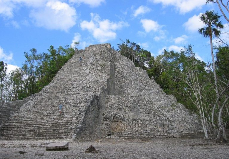
From about AD 1200, Xcaret prospered as part of the Caribbean trade network. Its merchants probably maintained links with inland Maya centers, especially Cobá, a major regional city in northeastern Yucatán, although the precise nature of Xcaret’s relationship with Cobá is uncertain. Polychrome pottery and objects of jade, obsidian, and quartz point to connections with central Maya regions and the Guatemalan highlands. Coastal shipping extended as far as present-day Honduras.
Political and religious connections
Xcaret belonged to Ekab, a Maya political territory in northeastern Yucatán, before the Spanish conquest. Its harbor also served as a departure point for voyages to Cozumel, called Cuzamil by the Maya. Cozumel was an important pilgrimage destination associated with Ix Chel, a Maya goddess linked particularly with fertility and the moon. Xcaret’s part in this pilgrimage has been connected with the mythic journey of the Itza described in the Chilam Balam, a group of Maya historical, religious, and prophetic manuscripts written after the conquest.
Relations between Xcaret and Cozumel were political as well as religious and commercial. Marriages between the lineages of Polé and Cozumel indicate connections between their ruling families and help explain the port’s wider importance within the region.
Spanish incursions and later decline
The settlement was inhabited during the first Spanish incursions along the eastern Yucatán coast in 1527–1529. Spanish forces reached Xcaret during the campaign of 1540–1547, when it remained part of Ekab and continued to function as an embarkation point for Cozumel. In 1548, Juan Núñez was placed in charge of Xcaret, showing that the settlement retained administrative importance after the conquest.
A Spanish chapel was built during the sixteenth century, and the port continued in use for a time. The settlement later declined and became progressively depopulated. Its history therefore spans a Maya trading center, a place tied to pilgrimage and regional politics, and a colonial coastal settlement that gradually lost its former population and role.
Archaeology and the modern park
In 1984, architect Miguel Quintana Pali and physician Ignacio Bernal Hurtado acquired five hectares in the municipality of Solidaridad, Quintana Roo, for a private development project. Land clearance revealed cenotes and underground rivers, leading them to join Oscar, Marcos, and Carlos Constandse in developing an ecological park. The modern park now covers approximately 80 hectares and includes part of the archaeological site.
The park administration subsidized research by Mexico’s National Institute of Anthropology and History, or INAH, as well as the reconstruction of Maya pyramids and buildings within the park. Archaeological conservation took place alongside programs for regional plants and animals, including endangered sea turtles. Much of the settlement’s former organization has been obscured by later development, but architectural groups and structural remains survive.
Remains
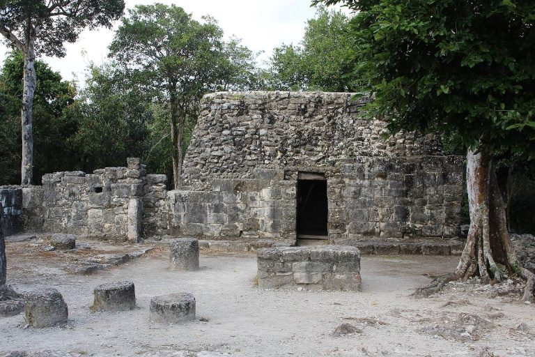
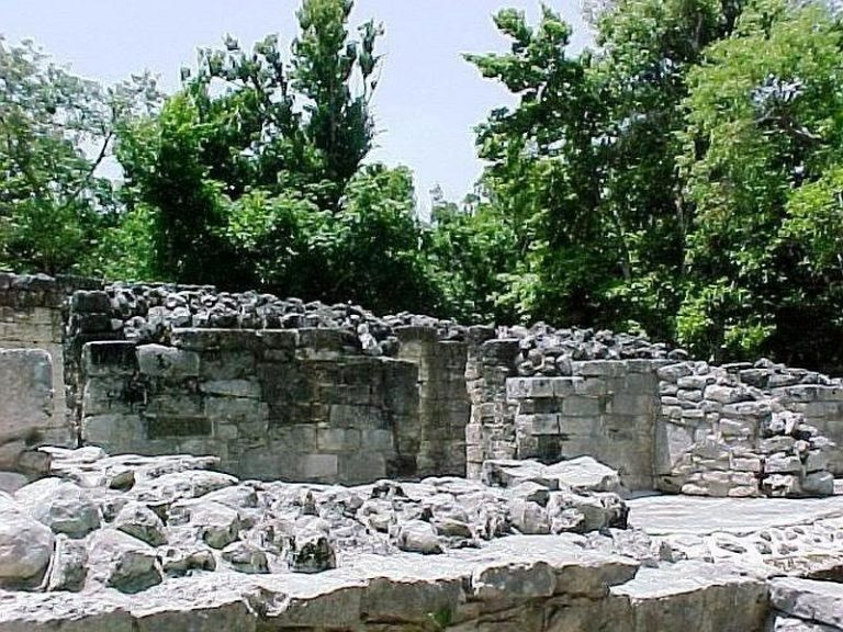
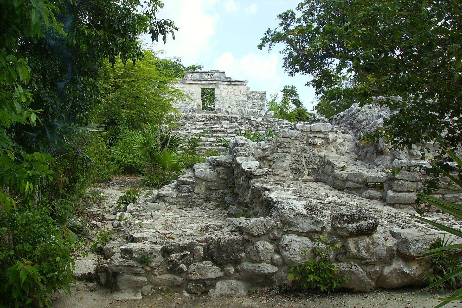
Xcaret extended for several kilometers along the coast, around a small inlet, beaches, cenotes, underground rivers, and mangrove-associated wetlands. Residential and other areas were linked by boundary walls, and the principal architectural groups are identified from A through K. The buildings belong mainly to the East Coast style, a coastal Maya tradition characterized by painted façades, recessed openings, decorated interior temple walls, horizontal entablatures, and projecting cornices. Stucco covered several structures inside and out, with red as the predominant recorded color.
Southern and coastal groups
Groups A and B
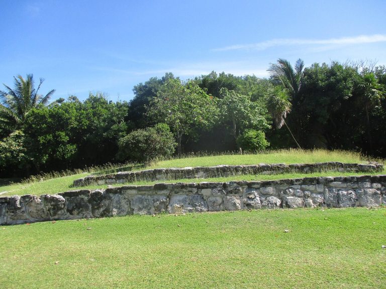
Group A occupies a natural rise south of the inlet, outside the main enclosing wall. Approximately ten structures stand there in the East Coast style. A short distance west, Group B contains five buildings, most surviving as low platforms. These structures form two architectural units and represent part of the settlement’s residential and associated built areas.
Groups C and D
Group C lies near the coast, about 100 meters northeast of the inlet. It includes four larger buildings together with foundations or bases for several smaller East Coast-style residential structures. Group D stands about 80 meters northwest of Group C, on slightly raised ground beside the enclosing wall. Its principal building has a semicircular platform or basal form and a well-preserved East Coast-style temple. The elevated position provided a view toward the coast.
Groups H and K
Group H lies near the northeastern part of the inlet, approximately 500 meters away. One temple stands alone on the coast, while a second, smaller temple occupies a low platform near a cenote. Group K consists of two separate temples, one near the coast and the other farther inland.
Central ceremonial and architectural groups
Group E
Group E is the principal architectural complex and contains two of Xcaret’s tallest buildings, Structures III and IV. Excavations produced Early Classic remains dating approximately to AD 250–600. These earlier remains have been interpreted as evidence that the area may have served a ceremonial purpose before the construction of the later complex.
Group F
About 250 meters northeast of Group E, Group F occupies a large platform with three East Coast-style buildings. One temple is notable for its size, its former brightly colored decoration, and two cornices, each carrying three elements associated with the building’s importance. Group G lies about 20 meters south of Group F and approximately 150 meters from the coast.
Group G and the Spanish chapel
Group G contains the remains of a sixteenth-century Spanish chapel. Its palm roof has disappeared, while sections of the walls remain. Excavations in 1994 uncovered 135 burials in the chapel atrium. The individuals included Maya, Spanish, and mestizo people, and fragments of cotton textile were found with the burials. Mitochondrial DNA, genetic material inherited mainly through the maternal line, differs from that of ancient Maya remains from Copán and more closely resembles patterns among contemporary Maya and other Indigenous Mesoamerican populations. These results have been interpreted as evidence of closer biological affinity with those populations.
Enclosing wall and exchange evidence
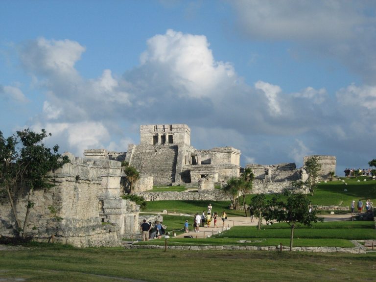
The enclosing wall ran from Group A toward Group E between the buildings and the beach. Its position and form differ from the landward enclosure at Tulum. At Xcaret, the wall appears to have protected the settlement against attacks from the sea, while it may also have separated firm inland ground from swampy and mangrove-covered coastal terrain. This arrangement supports the interpretation of Xcaret as a walled coastal port.
Ceramics and low platforms from the first centuries AD complement the architectural evidence for early occupation. Polychrome pottery and objects made from jade, obsidian, and quartz reflect the long-distance exchange networks that connected Xcaret with central Maya regions and the Guatemalan highlands. The natural landscape, including the inlet, cenotes, underground rivers, beaches, and wetlands, remains part of the setting in which the surviving archaeological groups are found.