Coba: An Ancient Maya City in Mexico
Site at a Glance
- Rating
- 4.9
- Popularity
- Very Low
- Country
- Mexico
- Primary era
- Classical
- Eras represented
- Classical, Medieval
- Civilizations
- Maya
- Site type
- City
On this page14 sections
History
Coba was an ancient Maya city in the present-day state of Quintana Roo, Mexico, whose earliest settlement dates to approximately 50 BC to AD 100. The community belonged to the Maya civilization, a Mesoamerican culture known for complex political systems, monumental architecture, writing, calendrical traditions, trade, and distinctive religious practices. Its earliest buildings were made of wood and palm leaves and stood on flat platforms, with pottery fragments providing the only known evidence from this initial phase.
Growth and political power
After AD 100, Coba expanded in population and political importance. By the early third to early seventh century, it probably controlled a broad territory that included northern Quintana Roo and eastern Yucatán. Its power rested on agricultural land, trade routes, abundant water resources, and connections with coastal communities. During the Classic period, the era from approximately AD 250 to 900 when Maya cities reached major political and cultural development, Coba became one of the region’s important centers.
Most of the city’s major construction belongs broadly to AD 500–900, while many of its dated hieroglyphic inscriptions belong to the seventh century. At its height, Coba may have had approximately 50,000 inhabitants or more and a built-up area of about 80 square kilometres. The city maintained close relations with Tikal, Dzibanche, and Calakmul. It probably used or controlled coastal ports including Xel-Há and Tulum, and its influence was supported by military alliances and marriages between elite families.
Coba’s economy combined farming, long-distance trade, coastal exchange, and specialized production in different parts of the settlement. Commerce linked the city with Maya communities along the Caribbean coast, including places in present-day Belize and Honduras. Goods included salt, fish, squash, yams, maize, honey, beans, turkeys, vegetables, cacao drinks, limestone, marble, and jade. Wealthy merchants controlled much of this commerce, and cacao beans served as currency.
Rulers and regional change
Evidence from Coba indicates that women could hold positions of political authority. Stelae, upright carved stone monuments bearing images and hieroglyphic inscriptions, are thought to identify women rulers, including Yopaat. In 2020, the names of fourteen leaders who governed Coba between approximately AD 500 and 780 were identified. The stelae also preserve information about ceremonies, political events, dates, clothing, ritual practices, and the authority of men and women.
A platform in the Las Pinturas group, explored in 1999, has architectural features similar to those of Teotihuacan, a powerful urban center in central Mexico whose influence reached parts of Mesoamerica during the Early Classic period. The feature may indicate contact between Coba and central Mexican cultures.
After AD 600, the rise of powerful centers in the Puuc region and the growth of Chichén Itzá weakened Coba’s dominance. From approximately AD 900 or 1000, Coba probably entered a prolonged struggle with Chichén Itzá, which eventually controlled important places such as Yaxuná. Coba lost much of its political influence after AD 1000, but it retained religious and symbolic importance. Buildings constructed between approximately AD 1200 and 1500 in an eastern-coastal style show that the site retained, or partly regained, regional importance after political centers and trade routes shifted toward the coast.
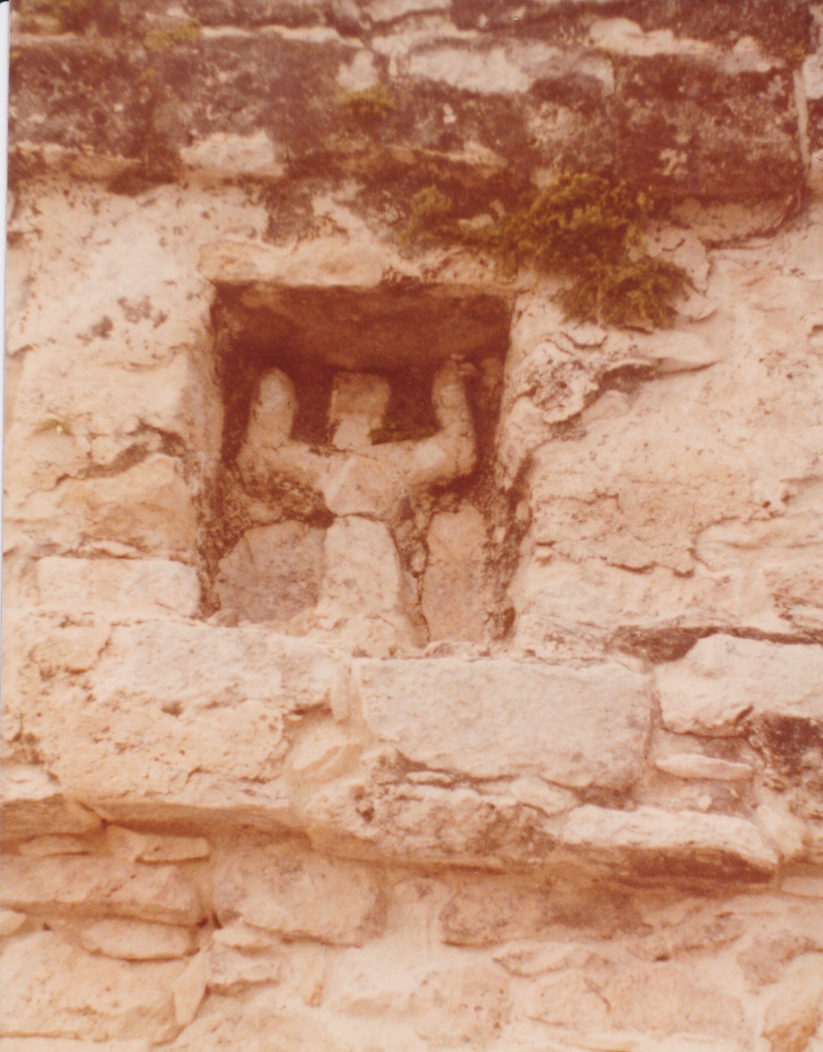
Coba remained an important Postclassic center, with new temples built and older ones repaired until at least the fourteenth century and possibly until the arrival of the Spanish. Its religious role continued after its political decline. The Descending or Diving God, an inverted winged figure associated at Coba with bees, honey, and the planet Venus, appears on the summit structure of Ixmoja. The reason for the figure’s presence at Coba remains uncertain, but the site functioned as a religious center for part of the surrounding region.
Abandonment and archaeological investigation
Coba was abandoned around the middle of the sixteenth century during the Spanish conquest of the Yucatán. Knowledge of the ruins reached the wider world gradually. John Lloyd Stephens heard of Coba in 1842 but did not visit because of its remoteness. Juan Peón Contreras, director of the Museum of Yucatán, visited in September 1882 and produced four pen-and-ink sketches. Teoberto Maler made a brief visit in 1893 and took at least one photograph, but the site remained little known in archaeological circles.
Thomas Gann, guided by local Maya hunters, visited Coba in February 1926 and published the first firsthand description later that year. Alfred Kidder and J. Eric S. Thompson inspected the site in March, and Thompson returned two months later with Jean Charlot during a Carnegie Institution of Washington expedition. Their guide, Carmen Chai, showed them the Macanxoc group, leading to a further expedition requested by Sylvanus Morley. Thompson continued visiting Coba through 1932 and published a detailed description that year.
H. B. Roberts excavated trenches in Group B in 1932 to collect pottery fragments. In 1948, William Coe and Michael Coe investigated the end of Sacbe 15, documented Sacbes 18 and 19, and mapped a large mound at the end of Sacbe 17, which they called Pech Mul. A modern road opened in the early 1970s, making access easier. In 1972, the Mexican National Institute of Anthropology and History, the government institution responsible for archaeological research and conservation, began excavations directed by Carlos Navarrete and consolidated two buildings. The work revealed El Cono, or Structure D-6, and the Las Pinturas group, while much of the Coba group was cleared under Raúl Pavón Abreu.
A project camp was established in 1973, and the Coba Project began work in 1974 under the Southeast Regional Center of the Mexican National Institute of Anthropology and History. During its three-year operation, teams cleared, excavated, and consolidated parts of the site. They treated the Castillo, Las Pinturas, the Iglesia, and El Cono, while investigating the raised roads and adding 26 to the 19 previously known. Ceramic studies and surveys extended across north-south and east-west transects measuring 10 and 5 kilometres. In 1975, a branch road reached Coba from the highway between Tulum and Nuevo Xcán, but engineers abandoned a plan to use Sacbe 3 as part of the roadbed after archaeological objections.
Remains
Lagoons and raised roads
The ruins lie around two lagoons, Lake Coba and Lake Macanxoc. From the central settlement, elevated stone-and-plaster roads radiate toward smaller sites and other parts of the city. Known by the Maya term sacbe, or sacbeob in the plural, these raised pathways were bordered with stone, filled with smaller stones, and surfaced with sand, shell, and or plaster. They connected residential groups with one another, with water sources, and with settlements beyond Coba.
Coba contains numerous sacbeob, including roads directed eastward and a major western route extending for more than 100 kilometres to Yaxuná. The roads range broadly from about 2 to 10 metres in width. More than forty were known through the early archaeological projects, while later documentation recorded more than fifty. Their construction required substantial effort, in some cases exceeding that involved in building stone structures and temples.
Monumental groups
Nohoch Mul and Ixmoja
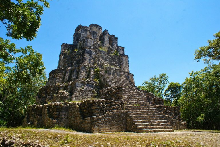
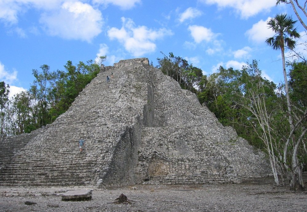
The Nohoch Mul group consists of large temple pyramids. Its highest structure, Ixmoja, rises approximately 42 metres and is among the tallest pyramids on the Yucatán Peninsula. A rectangular structure at the summit contains a carving of the Descending or Diving God, shown as an inverted, winged human figure resembling a diving bird. The image has been linked with the Maya bee deity Ah Muzen Cab and with Venus, although its precise meaning at Coba is uncertain.
Coba group
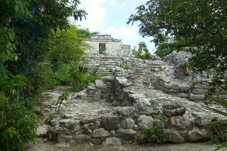
Near the entrance to the archaeological zone, the Coba group contains several structures, including the Iglesia and one of the site’s two ball courts. A small pyramid also stands near the entrance. The Castillo was among the buildings excavated and consolidated during the archaeological work of the 1970s.
Las Pinturas group
The Las Pinturas group contains a pyramid with a painted lintel and an upper temple whose painted surface can be seen from a distance. Its platform preserves the architectural feature interpreted as evidence of contact with Teotihuacan. Structures in the group were excavated and consolidated during the 1970s project.
Macanxoc group
The Macanxoc group lies along one of the raised roads beyond Las Pinturas. It contains eight stelae and numerous altars, which indicate that the area retained spiritual importance for later inhabitants.
Residential areas and monuments
Residential groups
The wider settlement included multiple residential areas, each reportedly formed from groups of approximately fifteen houses. Raised roads linked these groups with other parts of Coba and with water sources. Some routes do not yet have a clearly identified destination, while the broader road network connected the residential areas to the central settlement and to communities beyond it.
Stelae and altars
Coba’s stelae are engraved and sculpted monuments carrying hieroglyphic inscriptions and scenes of ritual, political authority, clothing, ceremonial activity, and major historical events. Many portray women in positions of authority. Together with the altars, they preserve evidence for the city’s political organization, religious practices, and changing ceremonial life.
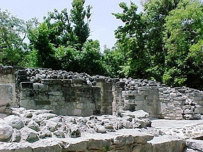
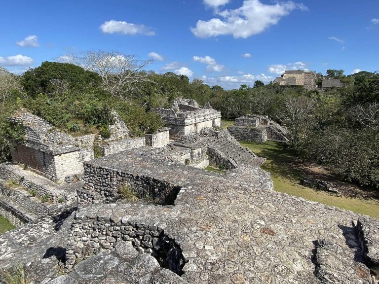
Only part of the wider settlement has been cleared from the jungle. The surviving ruins therefore include excavated and consolidated buildings, raised roads, pyramids, stelae, altars, residential groups, and other structures distributed across a much larger ancient urban area.