Guhōji kofun: A Late Kofun-Period Keyhole Burial Mound in Japan
Site at a Glance
- Rating
- 3.5
- Popularity
- Very Low
- Country
- Japan
- Primary era
- Medieval
- External website
- Open
- Eras represented
- Medieval
- Civilizations
- Yamato
- Site type
- Burial
- Remains
- Burial Mound
On this page6 sections
History
Guhōji kofun is a Japanese keyhole-shaped burial mound in Ichikawa, Chiba, Japan, constructed around the late sixth to early seventh century during the late Kofun period. The Kofun period, conventionally dated from about the third to the seventh century, was associated with large burial mounds. Guhōji kofun forms part of the Kōnodai kofun group together with Hōōzuka kofun, Aketo kofun, and other mounds.
The final phase of keyhole-tomb construction
Guhōji kofun is regarded as probably the latest keyhole-shaped tomb in the Kōnodai group. Its construction has also been placed in the terminal phase of keyhole-tomb building, extending from the end of the sixth century to the beginning of the seventh. Haniwa, clay objects placed on or around some burial mounds, have not been collected from the mound, a detail associated with its late position within the group.
Surveys and later condition
In spring 1970, archaeology students from Meiji University surveyed the mound under the direction of a Meiji University professor while the first volume of the Ichikawa City History was being compiled. The survey found that little of the mound retained its original form. A ditch-like area created by soil extraction had damaged the rear circular section.
A second survey took place in 2014 during preparation of the third volume of the Ichikawa City History, under the direction and in the presence of a member of its editorial committee. Radar investigation followed in 2015. The mound also suffered a partial collapse when a landslide affected the cliff edge beside it.
Remains
Mound form and measurements
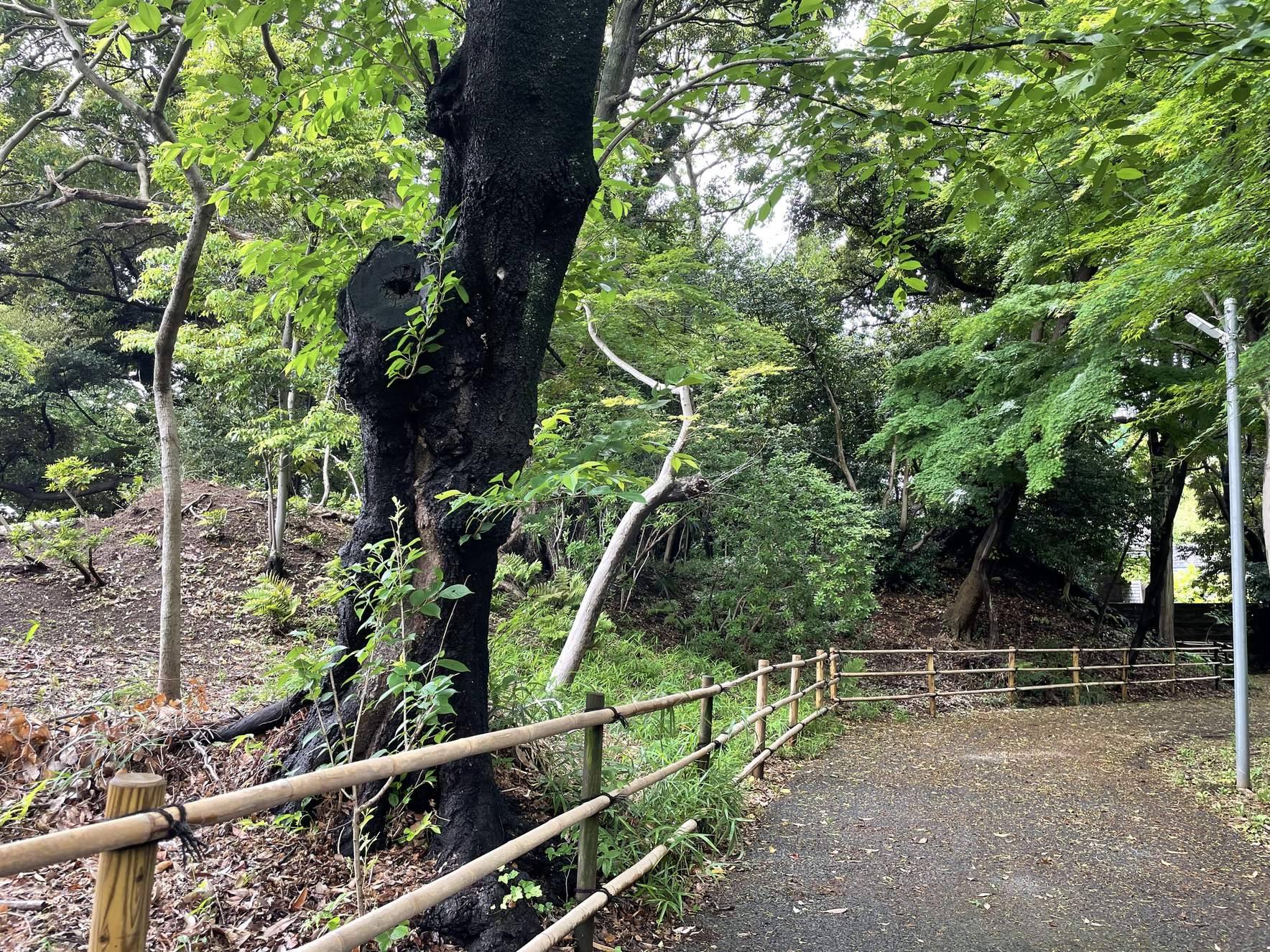
Guhōji kofun has the characteristic form of a keyhole-shaped burial mound, combining a circular rear section with a projecting square front section. In the documented view, the circular rear section lies toward the foreground and the projecting section toward the back. The 1970 survey measured the mound at approximately 43 metres in total length and 3 metres in height. It gave the front section a width of 15 metres and the rear section a diameter of about 20 metres and a height of 3 metres, while also recording an alternative diameter of 8 metres.
The 2014 survey measured the mound at 44.3 metres long. It recorded a front-section width of 25.6 metres, a rear circular-section diameter of 22.6 metres, a front-section height of 3.33 metres, and a rear-section height of 3.19 metres. The principal axis was recorded as N-65°-W in 1970 and revised to N-72°-W in 2014.
Plateau edge setting
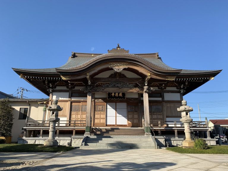
The mound stands within the grounds of Kōbōji at Mama, on the southern edge of a plateau in Ichikawa. It occupies the western cliff edge beside a tea house whose name was bestowed by Tokugawa Mitsukuni. Soil extraction, the cliff-edge position, and the resulting landslide have all affected the surviving form of the mound.