Pakalnių piliakalnis: A Lithuanian Hillfort and Settlement
Site at a Glance
- Rating
- 4.6
- Popularity
- Very Low
- Country
- Lithuania
- Primary era
- Iron Age
- External website
- Open
- Eras represented
- Iron Age, Classical, Medieval
- Civilizations
- Unclassified
- Site type
- Military
- Remains
- Fort
On this page7 sections
History
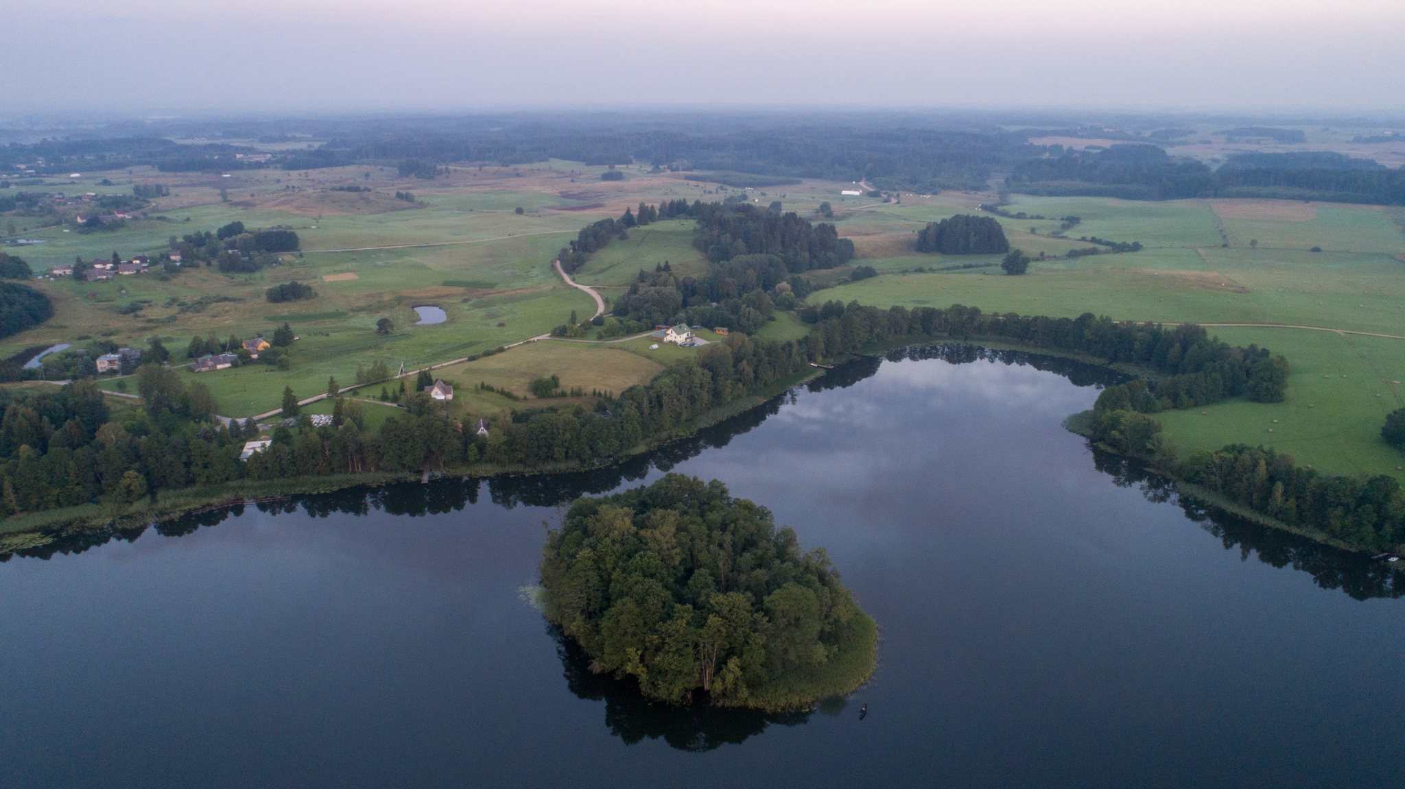
Pakalnių piliakalnis is a hillfort and associated settlement in Lithuania, north of Pakalniai in Utena District Municipality, on the southwestern shore of Lake Vidinkstas. The site dates from the 1st millennium BC to the beginning of the 2nd millennium AD and formed part of a defended settlement landscape.
Early occupation and archaeological investigations
The hillfort and its settlement were investigated at several stages. In 1836, the antiquarian Pranciškus Vilčinskis excavated parts of the platform and recovered a triangular iron object bearing inscriptions, small coins, and bronze horse bits. The Institute of History surveyed the site in 1970, and finds from that investigation are held by the Lithuanian National Museum.
In 1989, Gintautas Zabiela excavated a 16-square-metre area in the centre of the platform, where a cross was being restored. The excavation revealed a cultural layer, an accumulated deposit containing traces of past human activity, up to 35 centimetres thick. It included postholes, which are soil marks left by former wooden posts, a hearth, pottery with brushed, smooth, and rough surfaces, and animal bones.
Further work took place in 1991, when the Lithuanian Institute of History, led by Zabiela, opened 20 test pits with a combined area of 15 square metres at the southern and eastern foot of the hillfort during road-widening works. Beneath slope-wash deposits measuring 30 to 105 centimetres thick, the investigation identified the cultural layer of a settlement. This settlement occupied raised ground between the hillfort and wet meadows, extending for approximately 250 by 30 metres.
Memorial features and protection
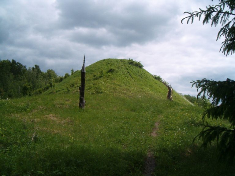
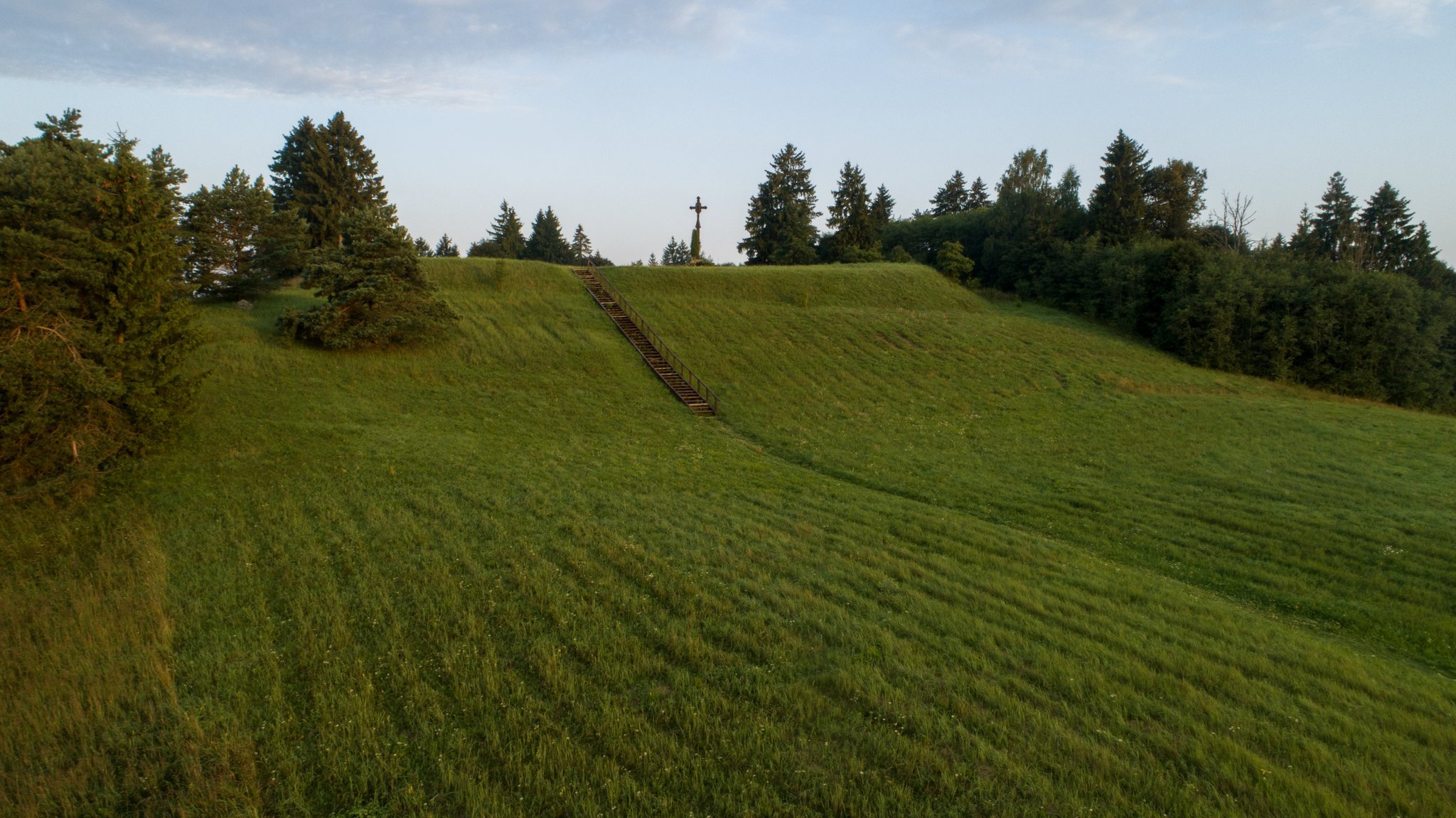
In 1918, young people from the village placed an 18-metre-high oak cross on the summit with the inscription “God, defend Lithuania.” It was removed in 1963, rebuilt in 1989 by the Juška brothers, and collapsed in 1998. A smaller cross made by the folk artist P. Kaziūnas replaced it in 1999. Four partisan graves are located on the hillfort. In Lithuanian historical usage, partisans commonly refers to anti-Soviet resistance fighters.
Pakalnių piliakalnis was declared a cultural monument by a Lithuanian government resolution of 19 May 1998. The protected monument territory covers 10 hectares, while its visual-protection subzone covers 3,016,000 square metres.
Remains
Hillfort earthworks
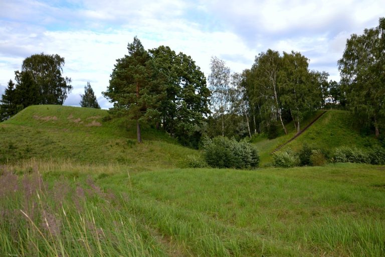
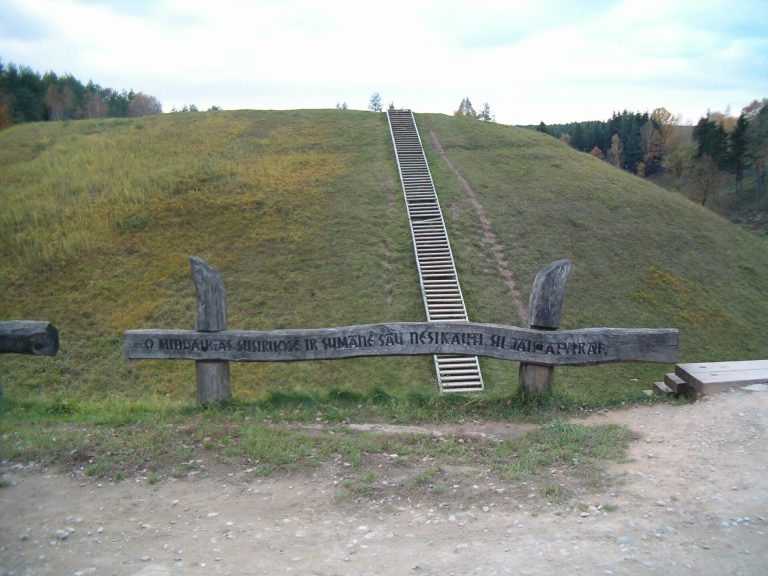
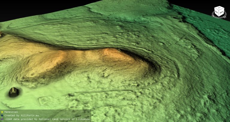
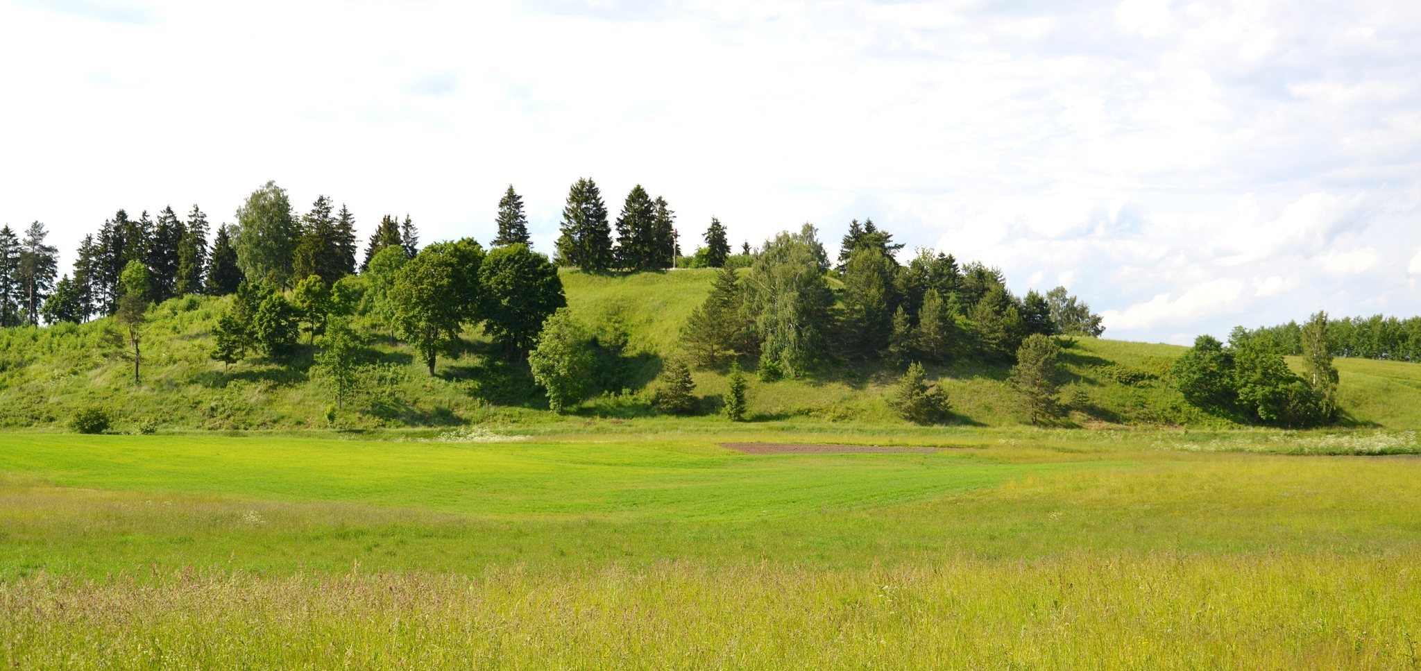
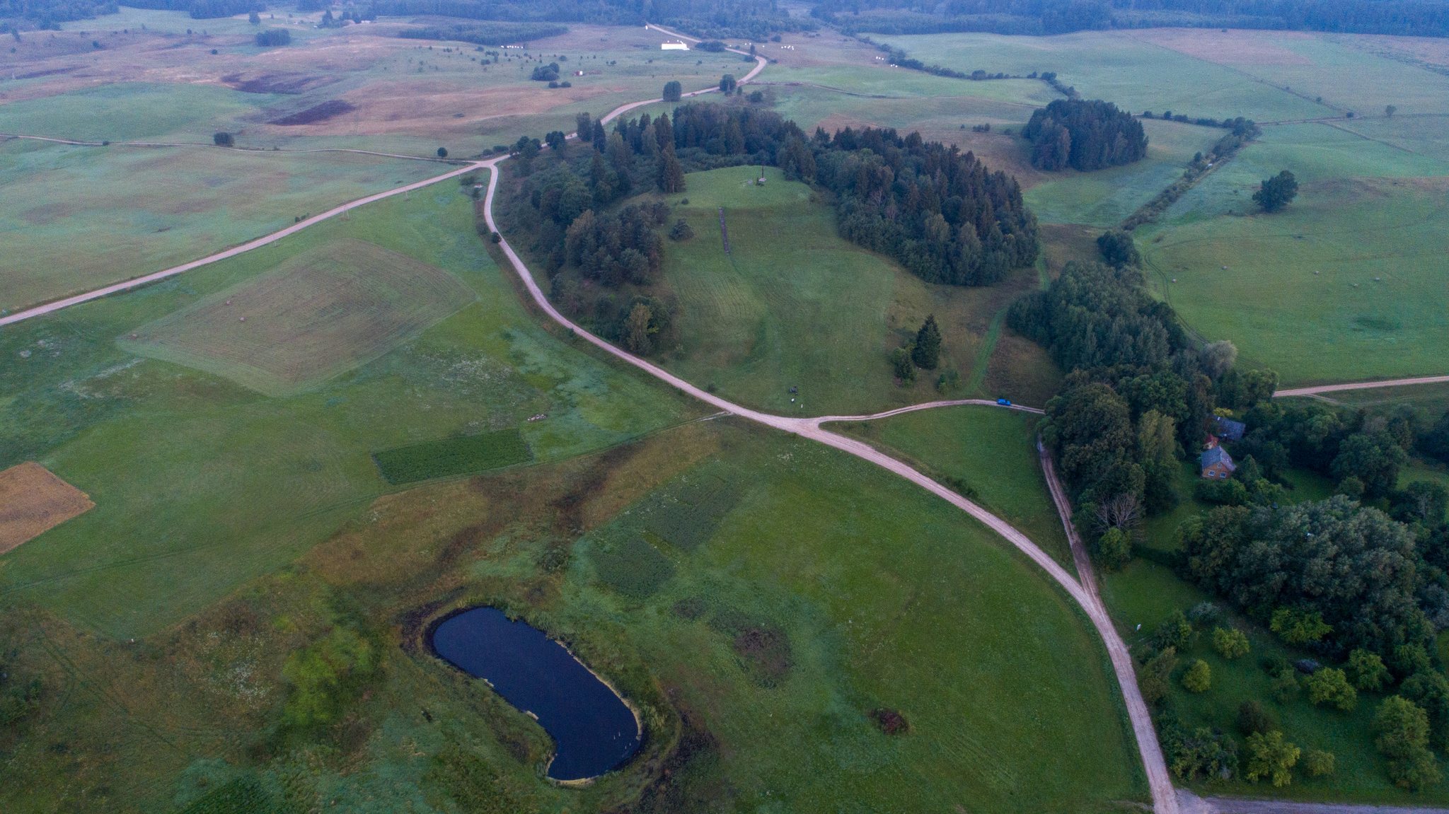
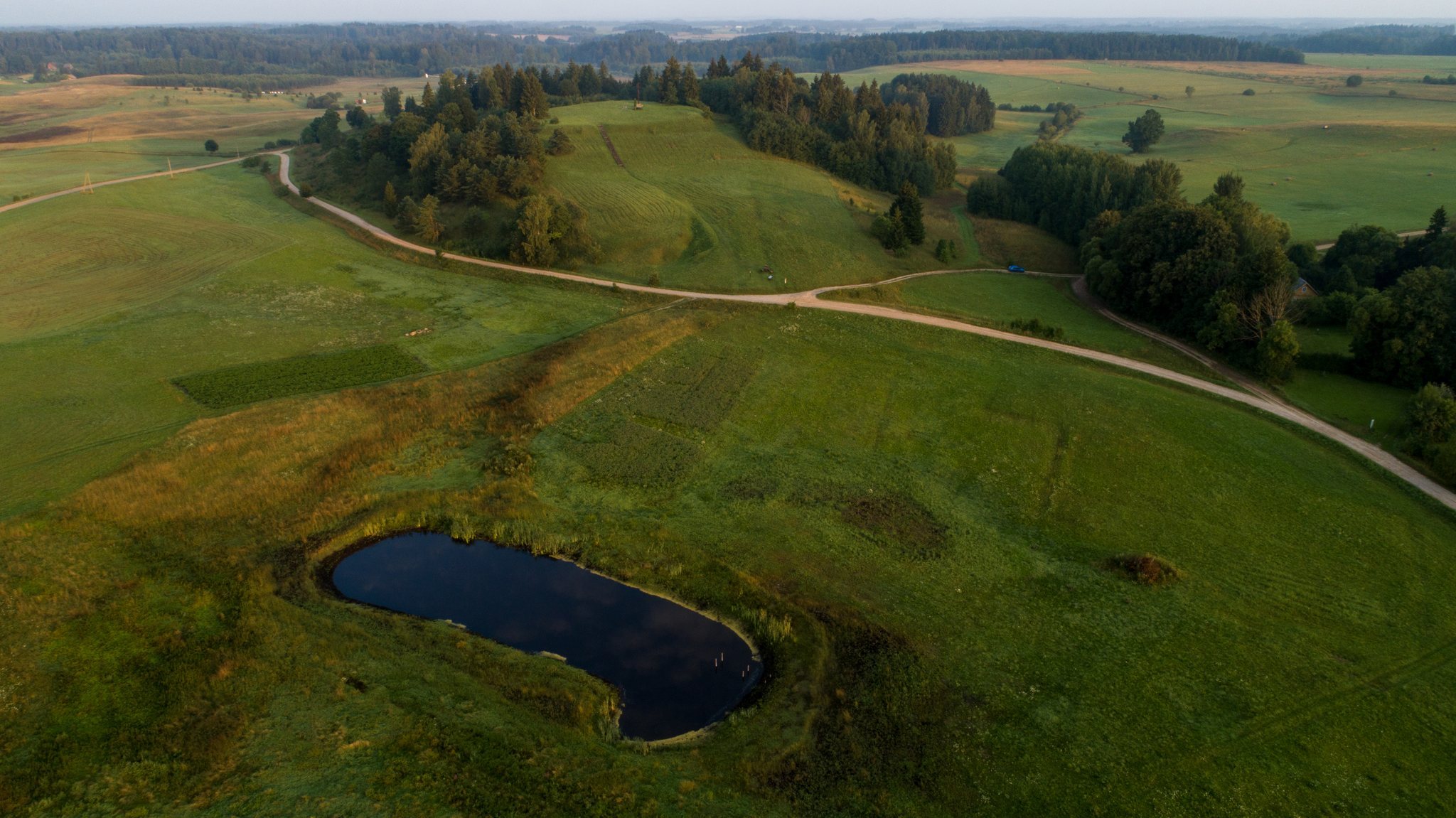
The hillfort occupies an isolated, massive hill rising about 25 metres above its surroundings on the southwestern shore of Lake Vidinkstas. Its elongated, quadrangular platform is aligned north to south and measures 48 by 41 metres. The southern part lies 2 metres below the remainder. Along the platform edges, builders formed a bank about 0.5 metres high and 7 metres wide, while the slopes were steepened approximately 3 metres below the platform.
At a level 2 to 4 metres below the platform, an 8-metre-wide and 0.8-metre-deep ditch surrounds the hillfort. An outer bank beyond it rises 1.2 metres and is 8 metres wide. This bank is best preserved on the western and northern sides, while terraces survive elsewhere. The western side has a further sequence of ditches and banks: a 2-metre-wide, 0.3-metre-deep ditch with a bank 0.3 metres high and 2.5 metres wide; a second ditch 2 metres wide and 0.2 metres deep with a bank 0.2 metres high and 4 metres wide; and a fourth ditch 4 metres wide and 0.2 metres deep with a bank 0.2 metres high and 3 metres wide.
Platform and summit features
Ploughing has disturbed parts of the hillfort. Grassland covers the platform and eastern slope, the northern slope is wooded, and several spruce trees grow along the platform edges. Trees that formerly stood on the southwestern slope have been felled. The summit contains the cross installed in 1999, while four partisan graves lie within the hillfort.
Associated settlement
The settlement at the hillfort’s foot lies south of the earthworks on raised ground between the hillfort and wet meadows. Its identified area measures approximately 250 by 30 metres. Archaeological investigations found a cultural layer both on the platform and at the foot of the hillfort, with the platform deposits containing postholes, a hearth, pottery with brushed, smooth, and rough surfaces, and animal bones.