Heisterburg: A Medieval Fortified Hilltop Settlement in Germany
Site at a Glance
- Rating
- 3.9
- Popularity
- Very Low
- Country
- Germany
- Primary era
- Medieval
- External website
- Open
- Eras represented
- Medieval
- Civilizations
- Holy Roman Empire
- Site type
- Military
- Remains
- Fortified Town
On this page13 sections
History
Heisterburg is a fortified hilltop settlement in Germany, located in the Deister near Feggendorf and generally dated from about AD 900 to 1200. It is usually regarded as a tenth- to eleventh-century enclosure, with the eleventh century considered its principal period of use. The site occupied a strategic position near the medieval boundary between the Bukkigau and Marstemgau. Today, its area is divided between the city of Rodenberg and the municipality of Bad Nenndorf in Lower Saxony.
Medieval settlement and purpose
The exact foundation date of Heisterburg remains uncertain, and no surviving written record identifies its builders or users. Its substantial defenses and evidence for permanent activity point to a military and political central place in the form of a fortified hilltop settlement. Interpretations have included a noble residence established before the emergence of the Counts of Schaumburg, a border post on a trade route, and a settlement connected with mining and ironworking in the Deister.
The main enclosure has produced evidence of early and high medieval activity areas and buildings. This has weakened the interpretation of the enclosure as only a temporary refuge, although some structures may have been added after an earlier fortification was established. The much larger outer enclosure, where activity appears to have been more limited, may have provided a refuge for people from the surrounding area during war or other danger. Heisterburg may also have been connected with possessions of the Billungs, a powerful Saxon noble family with influence in northern Germany, in the nearby Deister-Süntel valley, but that relationship has not been established.
The name and later memory
The settlement was still known as Hoyer, Hoysburg, or Hoiesburg in the sixteenth century. Land maps recorded names including Hoiser Burch in 1574, Hoisburg in 1651, and Heuser Burg in 1840. One interpretation derives Hoyer from the old word hoye, meaning pasture or grazing ground, and understands Hoysburg as a watch-fortification in an elevated position. Another explanation connects the name Heisterburg with young beech woodland at the site.
Excavation and interpretation
The first recorded excavations took place in 1887. Further work in 1891 and 1892 exposed the stone wall of the main enclosure and its northwest gate. Carl Schuchhardt continued the investigation in October 1891 with teams of up to fifteen workers, while Hermann Hofmeister directed major excavation work in the outer enclosure around 1930. Finds included nails, pottery fragments, horseshoes, animal bones, and two globular pots reconstructed from fragments. The pots are displayed in the Museum of Rinteln.
Modern investigation has combined excavation with non-destructive survey. In autumn 2014, the Schaumburg municipal archaeology service, led by Jens Berthold, used magnetometer and ground-penetrating-radar surveys to examine the main enclosure and part of the outer enclosure. These methods detect changes beneath the surface without extensive digging. The work identified probable areas of heat-intensive craft activity, settlement pits, and a possible stone-built complex, with results presented in 2015.
Students of geoinformatics at the University of Hanover produced a relief survey for a virtual three-dimensional model in 2017. In 2018, students from HAWK Hildesheim, directed by Markus Blaich of the Lower Saxony State Office for the Preservation of Monuments and working with the Schaumburg municipal archaeology service, excavated four small areas. The work helped reconstruct individual building plans and improve the dating of the fortification. The small quantity of artifacts recovered during that campaign may indicate that Heisterburg had a relatively short period of use. The excavated areas were covered again with soil for protection.
In 2011, Schaumburg District and the Lower Saxony State Forests installed signs prohibiting excavation and mountain biking on the ramparts. The measures followed observations that the fortifications had been reshaped and used as an obstacle course.
Remains
Setting and overall layout
Heisterburg lies in a wooded hollow between two low elevations at the northwestern end of the Deister, near the mountain ridge, approximately 330 meters above sea level. The site stands near the boundary between the Hannover Region and Schaumburg District. Its defenses comprise a main enclosure of about 0.9 hectares and a much larger outer enclosure of approximately 7.4 hectares. The surviving remains consist chiefly of ramparts, ditches, masonry fragments, and buried structural features, and the overall state of preservation is considered good.
Main enclosure
Ramparts, ditch, and gates
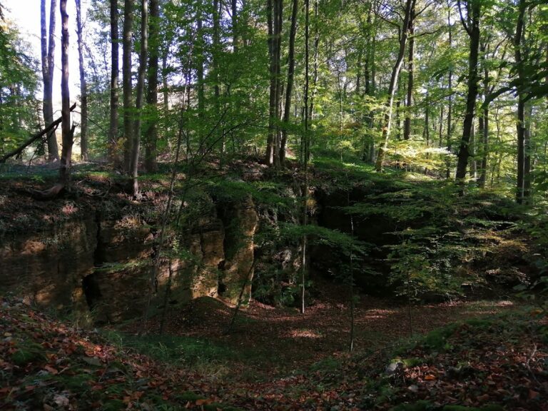
The main enclosure is an almost square ring rampart measuring approximately 106 to 115 meters from north to south and 107 to 111 meters from east to west. The rampart is now about two meters high and ten meters wide. Its outer face was formed by a mortared wall approximately 1.70 meters thick and probably several meters high, with underground sections surviving to about 1.5 meters. A V-shaped external ditch surrounded the enclosure. In some places the ditch had a flat bottom, and it was originally about 2.5 meters deep and eight meters wide.
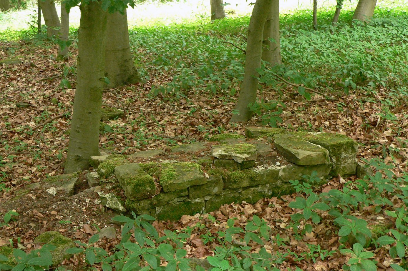
Two former entrances used inward-narrowing, pincer-shaped gates. This gate design, in which the rampart ends project inward and narrow the approach, helped control movement through the entrance. One gate stood at the northwest corner and the other in the southeastern part of the eastern rampart. Both had paved surfaces. At the northwest gate, inward-curving rampart walls survive to approximately one meter high, while the entrance narrows to about 2.6 meters. The southeast gate also narrowed toward the interior.
Buildings, wells, and storage features
Five single-room buildings were found inside the main enclosure. Each measured up to approximately five by ten meters and had a cellar. Other wall lines remain to be interpreted. Two shafts about 5.5 meters deep have been understood as wells or cisterns. A depression in the ground contained pottery fragments and animal bones down to a depth of four meters. Foundations in the southwest corner, dated to the post-medieval period, may have supported a wooden tower.
Ironworking area
More than twenty stone-packed features in the northern part of the main enclosure were interpreted as ovens or hearths during the 1930 excavations. Slag, iron ore, and horseshoes from the same area indicate iron-smelting and smithing. Later geophysical surveys detected anomalies consistent with heat-intensive craft processes, possibly including smelting furnaces and slag deposits, alongside settlement pits.
Stone-built complex
Ground-penetrating radar identified a rectangular area approximately 20 by 30 meters at the highest point of the main enclosure. The detected structures suggest several stone-built buildings or rooms, some of which had already been partly excavated. The 2018 excavation exposed foundations about 50 centimeters wide and several stone courses high. These may represent the sill-beam construction of a building. A refuse pit contained stones, possible remains of an oven or hearth, small quantities of pottery, and animal bone.
Outer enclosure and additional defenses
The outer enclosure extends north of the main enclosure and incorporates a stream within its ramparts. Its eastern side is marked by a rampart approximately 500 meters long. At its lower end, a seven-meter-wide pincer-shaped gate was strengthened with masonry at both ends. A western rampart about 100 meters long provided further protection. Another rampart and ditch stand approximately 400 meters north of the outer enclosure.
Unlike the main enclosure, the outer-enclosure ramparts contain no masonry. Further rampart lines occur east and west of the main enclosure and continue into the surrounding area. These may represent outer defenses, section ramparts, or parts of the later Bückethal landwehr, a defensive boundary system of ramparts, ditches, and related barriers intended to control movement across a territory.
Later alteration and preservation
After the fortification fell out of use, the above-ground stones of its wall were probably removed for building projects in nearby villages or for other fortifications, including the moated castles of Lauenau and Rodenberg. The ramparts and ditches have otherwise suffered no major later erosion or extensive alteration. The 2018 excavation produced structural plans and other evidence, after which the investigated areas were re-covered to protect the remains.