City Walls of Tachov: Medieval Fortifications of a Bohemian Royal Town
Site at a Glance
- Rating
- 4.7
- Popularity
- Very Low
- Country
- Czechia
- Primary era
- Medieval
- Eras represented
- Medieval, Modern
- Civilizations
- Austrian Empire, Habsburg, Holy Roman Empire, Kingdom of Bohemia
- Site type
- Military
- Remains
- Wall
On this page7 sections
History
The City walls of Tachov in Czechia are medieval fortifications built around the royal town in the late thirteenth century. Tachov was among the oldest settlements in western Bohemia, and its walls protected a compact urban area that covered approximately 5.7 hectares.
Early settlement and the royal town
A reference from 1126 describes the reconstruction of frontier fortifications at Tachov, while a document from 1131 mentions a settlement near the castle. In the second half of the thirteenth century, King Přemysl Otakar II established Tachov as a royal town and built a new stone castle with a cylindrical tower. The fortified town is first documented in 1285. Its city walls probably date from the late thirteenth century, with their construction placed around 1300 by the National Heritage Institute.
Tachov was one of the smallest royal towns. It was repeatedly pledged to noble families before being redeemed by the Bohemian crown in 1323 under John of Luxembourg and again through a decision by his son Charles IV. The town developed further under the Luxembourg dynasty, and the surviving form of the fortifications dates chiefly from this period. A royal town stood under the authority of the Bohemian crown and possessed privileges and obligations distinct from those of a subject town.
Hussite siege and later upheavals
On 11 August 1427, the Hussite army led by Prokop the Bald besieged Tachov after defeating Crusader forces. The Hussites were a reform movement in Bohemia that fought Catholic and imperial forces during the Hussite Wars. Following intensive bombardment, the army breached the walls and captured the town. All the men of Tachov were killed in the assault. The event is commemorated by the names Husitská and Krvavá Streets near the Church of the Assumption of the Virgin Mary and the former Upper Gate.
A destructive fire struck Tachov in 1616. After the defeat of the Bohemian Revolt, an early seventeenth-century uprising against Habsburg rule, the town lost its former privileges and became a subject town as punishment for supporting the rebellion. Forced re-Catholicization also took place there. During the Thirty Years’ War, Swedish forces burned and devastated Tachov several times, in 1641, 1642, 1647, and 1648.
Urban change and conservation
From the seventeenth to the nineteenth century, the estate owners Losy and Windischgrätz expanded and improved Tachov. They converted the former castle into a more comfortable residence, first in the Baroque style and later in the Classical style. During the nineteenth century, urban development led to the reduction or removal of sections of the walls, towers, gates, and moats.
Since the 1970s, the surviving fortifications have been progressively repaired and conserved. The city walls are listed in the Czech Republic’s central register of immovable cultural monuments and form part of the Tachov urban conservation zone, designated on 10 September 1992. Annual historical town festivities held on the second weekend of August use the fortifications for cultural and fencing performances.
Remains
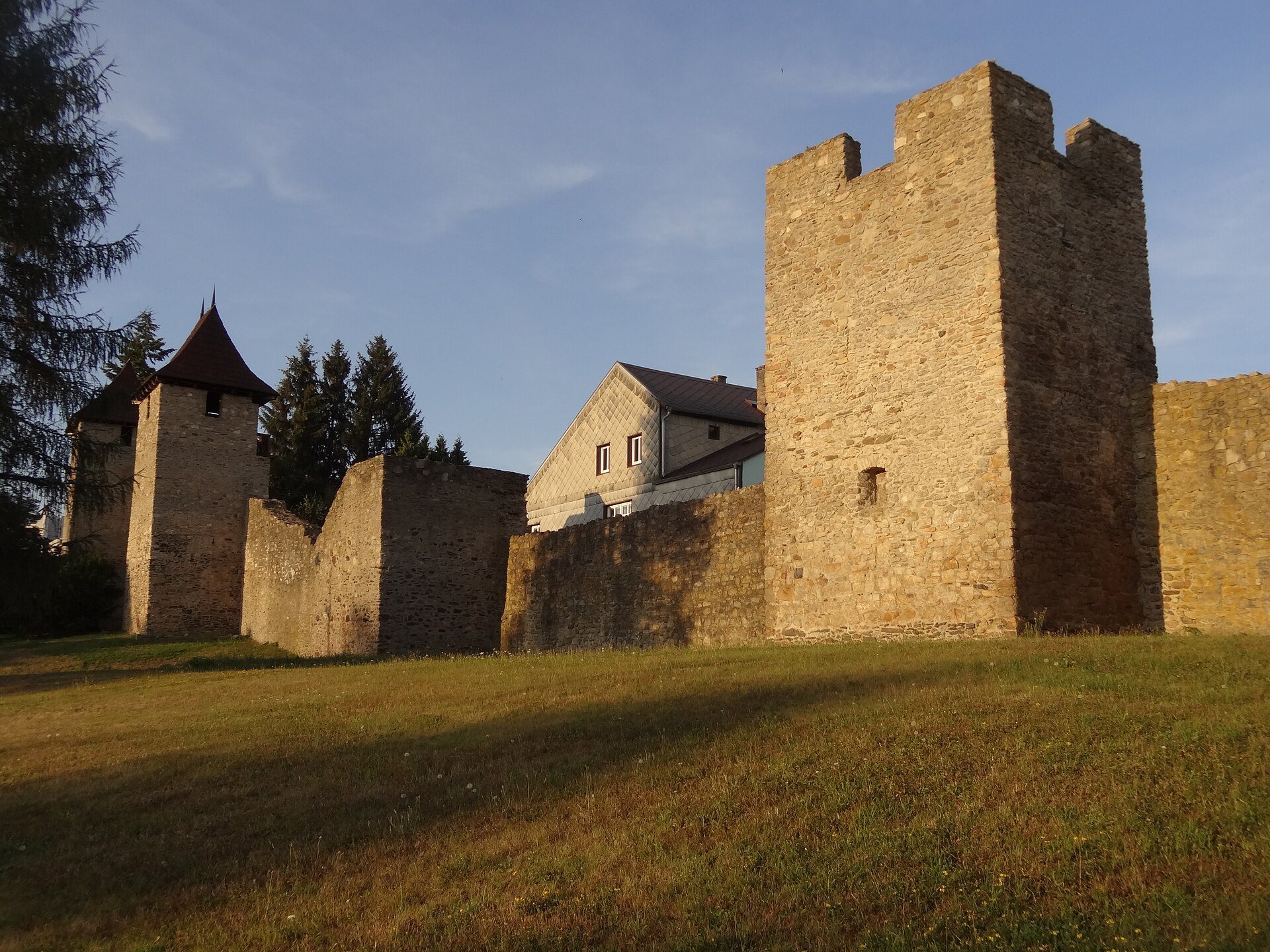
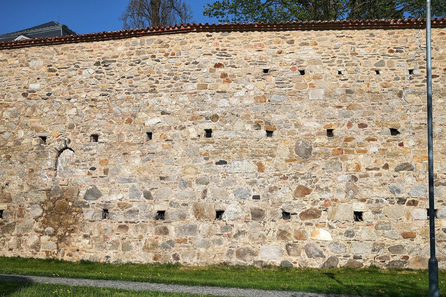
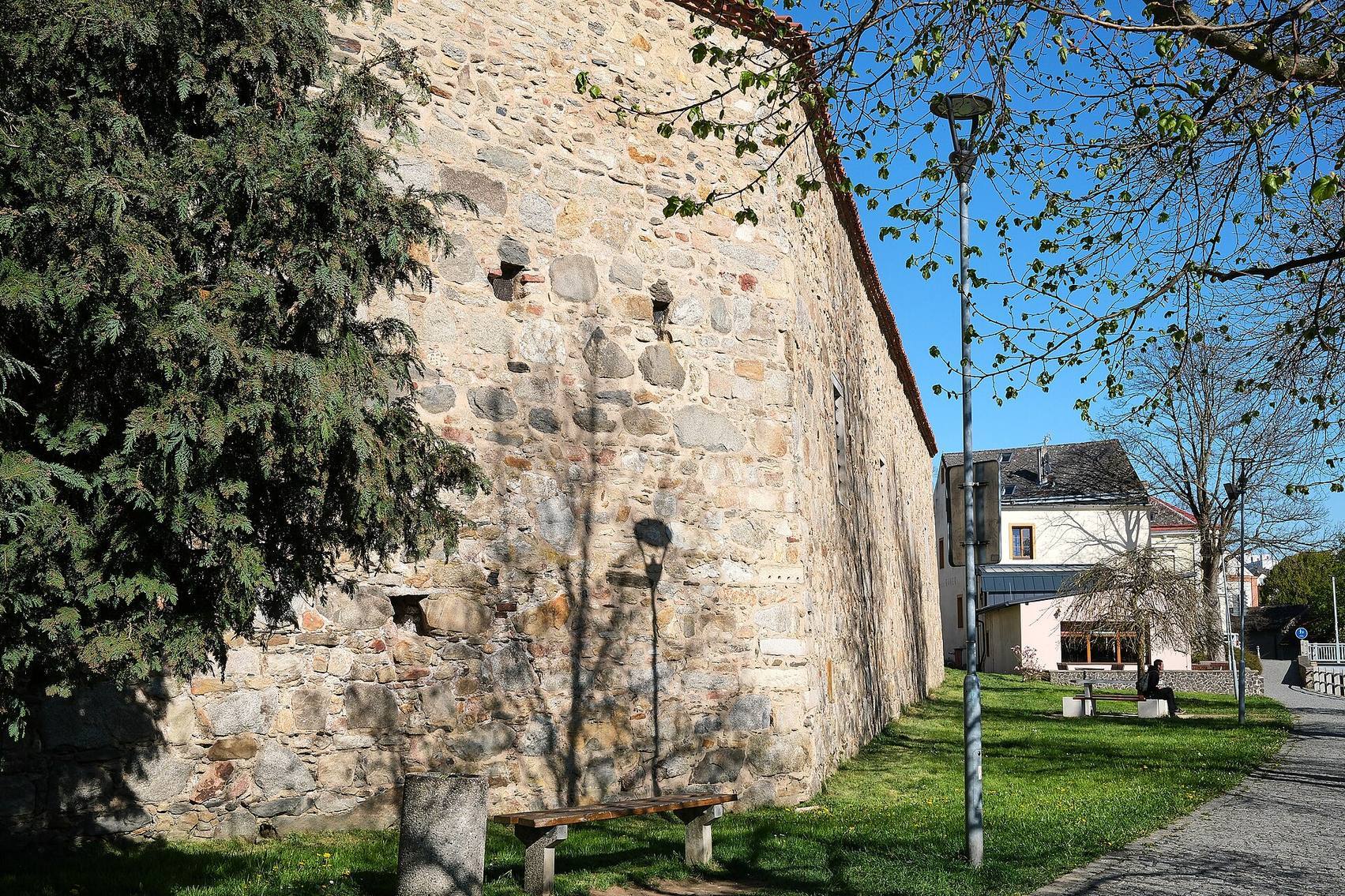
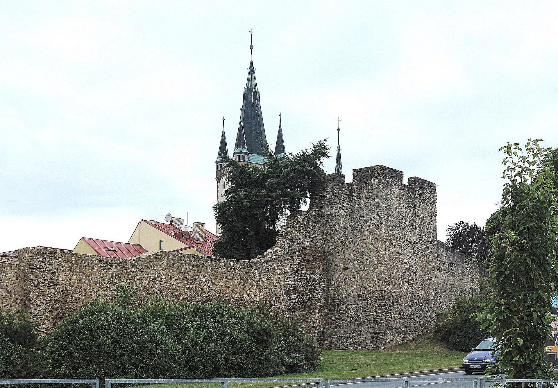
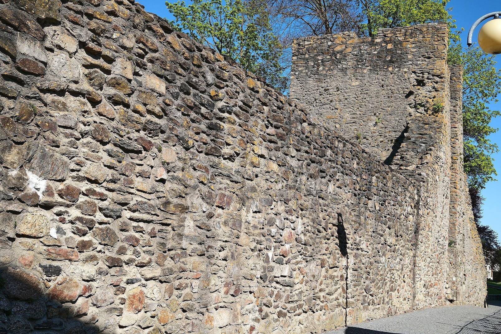
The fortifications surround Tachov’s historic urban core on all four sides. Together with the former outer defensive circuit of moats and ramparts, they define the area of the urban conservation zone. The walls follow an irregular circular plan and were built from quarry stone. They are approximately 1.4 to 1.5 metres thick and 8 to 10 metres high.
Walls and towers
The original circuit contained 26 prismatic towers, each 11 to 14 metres high, and 21 survive into the twenty-first century. Each tower operated as an independent defensive element. The towers were connected only by a narrow passage along the inner side of the walls. They were open toward the town, while their upper levels had low walls with openings for loopholes, narrow apertures through which weapons could be used from a protected position. The fortifications contained very little timber and had no wooden wall-walks, a design intended to improve security during an attack.
Moat, gates, and outer defenses
A deep outer moat surrounded the walls and bastions. It was approximately 43 to 45 metres wide. Water from a millrace entered from the west, while the Mže River bordered the fortifications on the south. The original three town gates were removed during the nineteenth century. The southern Castle Gate, also called the Imperial Gate, near the chateau may have been demolished as early as the late eighteenth century. The Lower, Hospital, or Low Gate in the southeastern curve was demolished in 1864 or 1865, and the northern Upper or Mountain Gate followed in 1871.
Two later openings altered the circuit. A New Gate was cut through the western wall in 1822, leading toward Prokopa Velikého Street and the road to Světce. In 1838, a smaller Dog Wicket was created in the northeastern section on Hradební Street, providing access to the cemetery at the Church of Saint Wenceslas. During the nineteenth century, sections of the walls and several defensive towers were demolished, while the moats were filled in.
Additional forward fortifications once strengthened the defensive system but have not survived. One structure near the Castle Gate was called Hohe Wacht, and another stood north of the town near the former Polserhof farmstead.