Bakainiai Hillfort: A Fortified Site in Lithuania
Site at a Glance
- Rating
- 4.7
- Popularity
- Low
- Country
- Lithuania
- Primary era
- Medieval
- Eras represented
- Medieval
- Civilizations
- Unclassified
- Site type
- Military
- Remains
- Fort
On this page10 sections
History
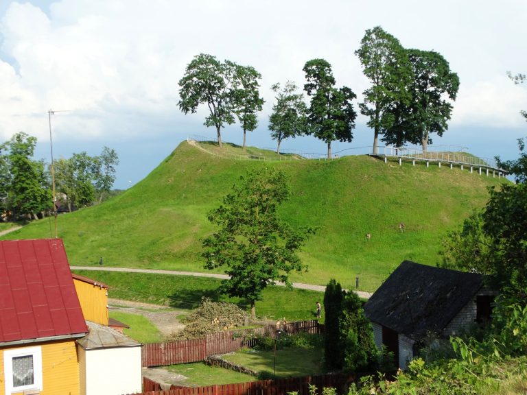
Bakainiai hillfort is a fortified archaeological site in Lithuania, near Bakainiai village in Kėdainiai District. It stands on the left bank of the Liaudė River, 1.4 km west of the river’s confluence with the Nevėžis, within Krekenava Regional Park. The site was mentioned by the Teutonic Knights in 1372, when the medieval Catholic military order was conducting campaigns and military operations in the eastern Baltic.
The 1372 Reference and Local Tradition
In the early twentieth century, the Polish scholar Liudvikas Kšivickis proposed that Bakainiai hillfort was the site of Eigintai Castle. He associated it with a castle that he believed the Teutonic Knights had burned in 1372, but this identification remains an interpretation rather than an established fact.
A local tradition connects the hillfort with a battle. According to the legend, after a commander was killed, people carried soil in their hats and raised a large mound over his grave. The same tradition describes the hillfort as surrounded by the river on three sides and protected by a rampart to the north.
Investigation and Archaeological Context
General Sivers excavated the hillfort in 1841, and A. Malgren investigated it in 1898. Liudvikas Kšivickis surveyed the site during the early twentieth century, followed by exploratory research by the Institute of Lithuanian History in 1968. A burial ground dating from the first half of the second millennium lies 200 m southwest of the hillfort, and a separate Bakainiai cemetery is located 0.2 km to the southwest.
Remains
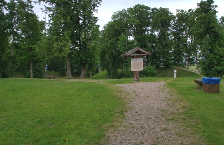
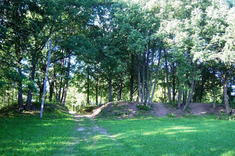
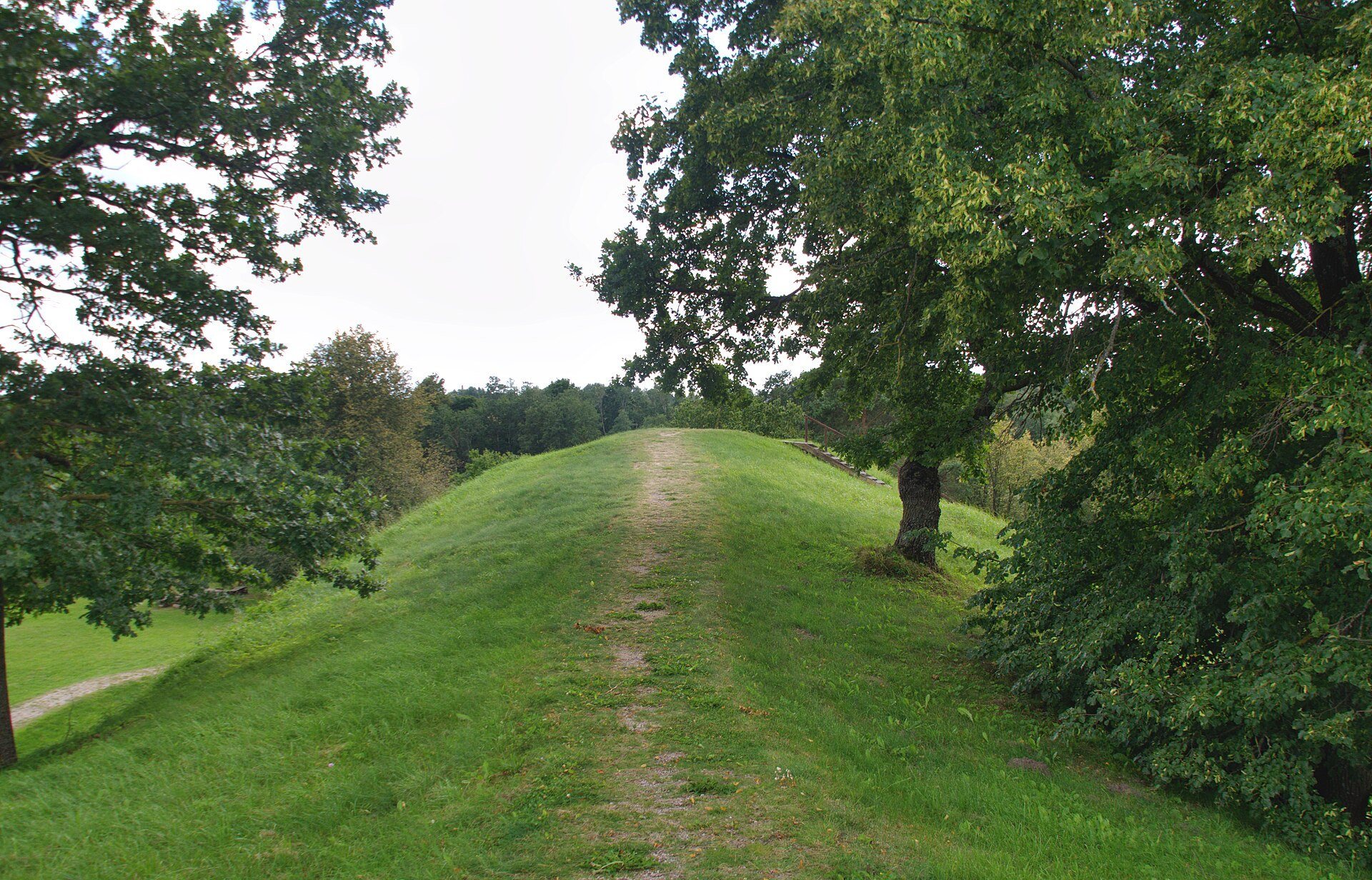
Bakainiai hillfort consists of a main fortified platform, an eastern forework, and two outer baileys, which are subsidiary defended areas linked to the principal fortification. The main hillfort is elongated from north to south, with steep slopes rising about 19 m. Its summit forms an irregular trapezoid approximately 70 m long and 55 m wide. Ramparts 6–8 m high stand at its western and eastern ends, although both have been partly flattened.
Main Fortification
Eastern Forework
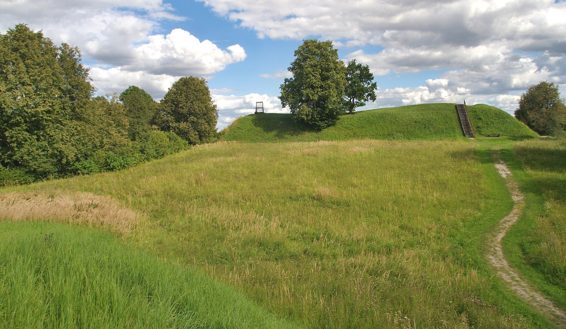
The eastern lower slope contains a forework, an advanced fortified enclosure positioned before the main fortification. It measures about 170 m by 75 m and is enclosed by a rampart approximately 5 m high and a ditch about 4 m deep. A conical rampart around 3 m high occupies the southwestern corner of the forework.
Outer Defensive Areas
First Outer Bailey
The first outer bailey lies east of the main platform. Its elongated, trapezoidal platform extends from southwest to northeast and measures about 145–200 m from northwest to southeast and 63–90 m from southwest to northeast. Wheel-thrown pottery was found in this area.
A rampart 5 m high and 16 m wide was built along the northeastern end of the first outer bailey. On its southern slope, a terrace lies 5–6 m below the platform and probably carried a road towards the forework. At the southwestern corner, beside the entrance to the main hillfort platform, stands a conical rampart 3 m high, 20 m long, and 11 m wide. Its position and form probably indicate a defensive gate tower.
Second Outer Bailey
The second outer bailey lies west of the main platform, beyond its rampart. Its platform is triangular and elongated from southeast to northwest. The southeastern part measures 10 m by 8 m, while the northwestern part is 1.5 m lower.
Archaeological Layers
The platforms of the hillfort and forework were ploughed, and traces of a cultural layer remain. A cultural layer is an archaeologically preserved deposit containing evidence of past human activity, including soil changes, construction debris, and artifacts.