Stradonice: A Celtic Hillfort in Czechia
Site at a Glance
- Rating
- 4.7
- Popularity
- Low
- Country
- Czechia
- Primary era
- Iron Age
- External website
- Open
- Eras represented
- Iron Age
- Civilizations
- Celtic
- Site type
- Military
- Remains
- Fort
On this page10 sections
History
Stradonice is a Celtic hillfort in Czechia, occupied from approximately 550 to 450 BC during the Late Hallstatt period and continuing into the Early La Tène period. The Hallstatt period was an Iron Age cultural phase of central Europe that preceded the La Tène period, which is associated with later Iron Age Celtic culture. Stradonice probably served chiefly as a place for celebrations and assemblies. Its defenses suggest a refuge or temporarily fortified place rather than a permanent military stronghold.
Earlier and Later Activity
The hillfort also contains sparse traces from several other periods. These include the Middle Paleolithic, the Neolithic, the Knovíz culture of the Late Bronze Age, the Roman period, and the Early Middle Ages. The Knovíz culture was a Late Bronze Age archaeological culture of central Europe. One hypothesis attributes the ditch and the stone core within the rampart to Knovíz communities, although the principal occupation of the hillfort belongs to the later Iron Age.
Stradonice was connected to long-distance exchange in luxury goods. Fragments of Greek pottery and bronze vessels, including wine vessels imported from Massalia, were found at the site. Massalia was an ancient Greek colony established at the location of modern Marseille and an important Mediterranean trading centre.
Archaeological Investigation
Investigation began with Ludvík Šnajdr’s work in 1891. Further excavations took place in 1975 and from 1977 to 1978 under the direction of Zdeněk Smrž of the Institute for Archaeological Heritage Care of Northwestern Bohemia. These investigations helped clarify the hillfort’s fortifications, occupation, and connections with wider trade networks.
Remains
Setting and Layout
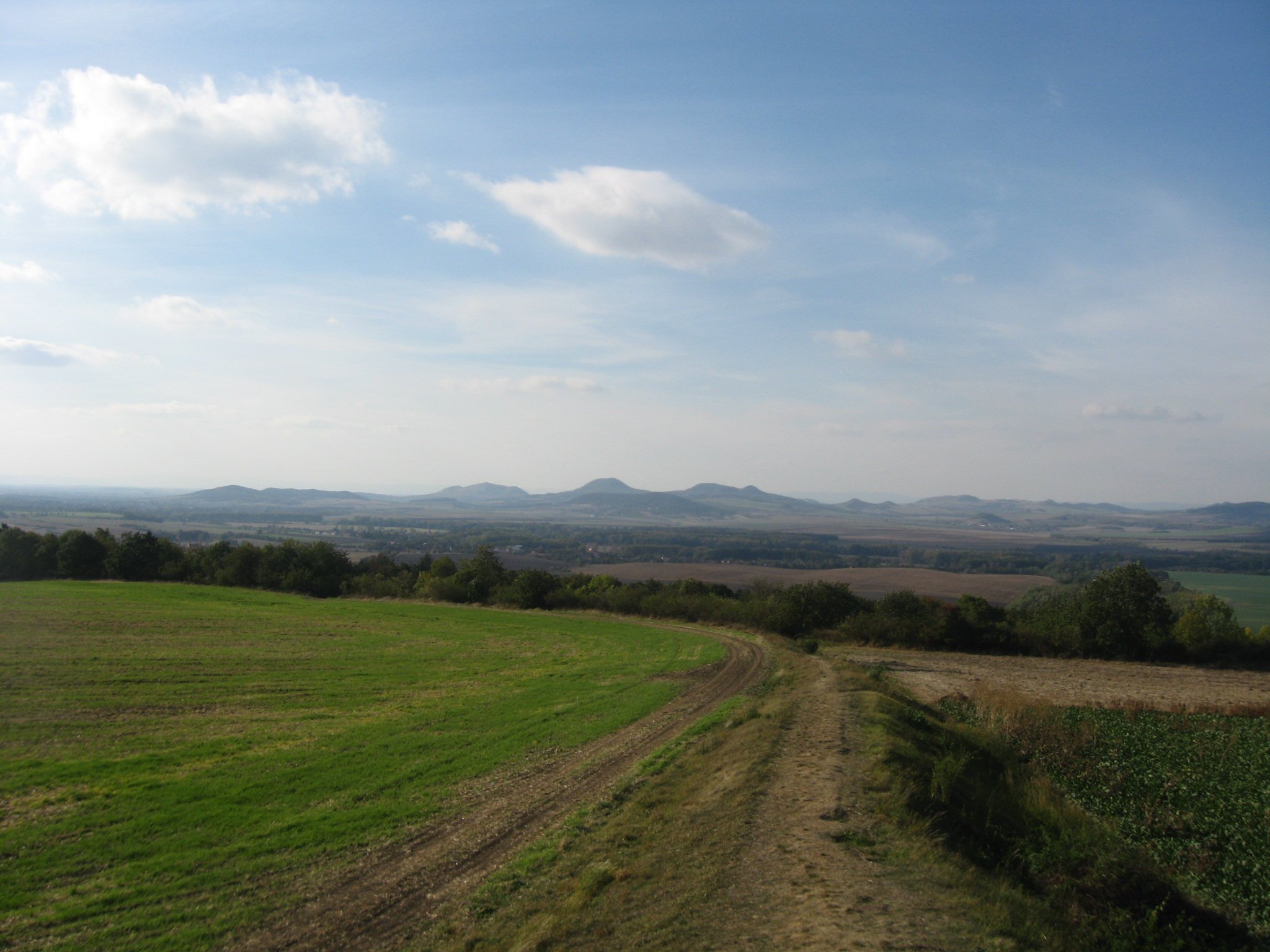
The hillfort covers approximately 6.75 hectares several hundred metres east of Stradonice, at an elevation of about 280 metres. It occupies the end of a promontory extending from a plateau above the steep slope of Štola Stradonice. The site is also known as Na Šancích, Na Valech, Na Hradbách, Zadní Valy, and Petrova Louka.
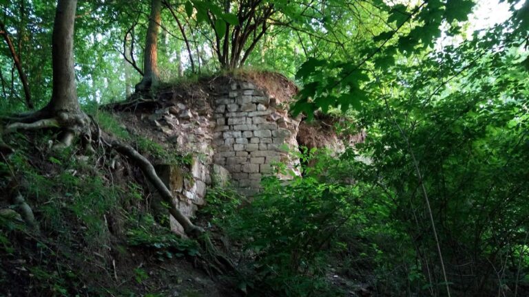
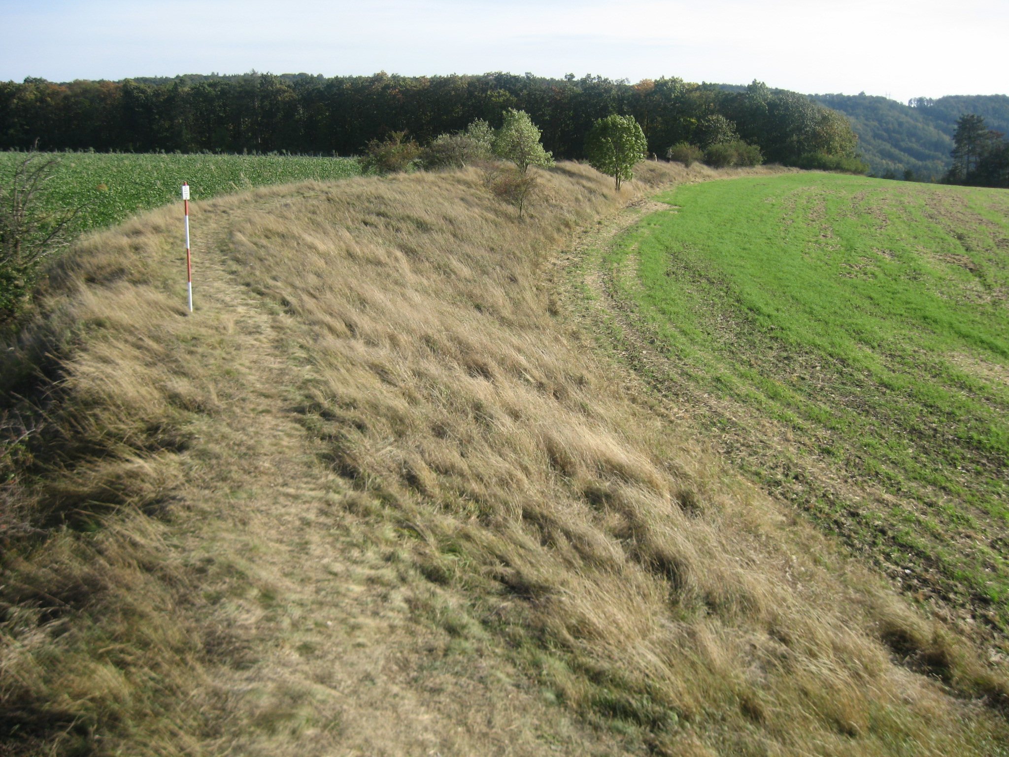
The Débeřský Stream borders the promontory to the southeast and east, approximately 90 metres below it. A ravine containing an unnamed stream closes the southern side, while the ground slopes gently northward in terraces. The southern and western edges probably had only modest protection, such as a palisade. A substantial semicircular rampart enclosed the northern and eastern sides. It remains visible for approximately 520 metres and includes a ditch and a gate at its western corner.
Ramparts and Ditches
The fortifications required approximately 7,000 cubic metres of earth, obtained mainly by digging the ditches, together with about 300 cubic metres of marlstone and 250 cubic metres of timber. The defenses comprised a stronger eastern rampart and a lower northern rampart. The eastern structure is approximately 260 metres long, while the northern section follows a lower line of defense.
Eastern Rampart
The eastern rampart was built from connected timber chambers resembling log buildings and filled with earth. Its outer face was covered by a wall of marlstone blocks. A walkway approximately 3.5 metres wide ran along the inner side, and a continuous palisade stood on the crest. The rampart was about 7 metres wide at its base and approximately 3.5 metres high. A ditch in front of it measured roughly 5 to 6 metres across and about 2.5 metres deep. It was filled in during 1977.
Northern Rampart
The lower northern rampart also consisted of an earth-filled timber structure with a frontal marlstone wall and a palisade. The palisade was set into the front of a prepared raised area before the ditch. The northern ditch was approximately 4.5 metres wide and about 2 metres deep, with its inner side lined by a marlstone wall. The ground beyond it was raised in a deliberately sloping form known as a glacis, which was intended to expose attackers and strengthen the defensive system. This arrangement is described as the earliest prehistoric example of such sophisticated ditch deepening, a technique later used at Baroque fortresses from the seventeenth to the nineteenth century.
Western Gate
The gate stood at the western end of the northern rampart, where the defenses were reinforced with a stone core. A steep slope leading into a deep ravine lay on the opposite side of the entrance. Together with the surrounding ramparts, this position formed the principal controlled access into the enclosed area.
Finds and Lookout Tower
Greek pottery fragments and bronze vessels were recovered within the hillfort, including vessels associated with wine and imported from Massalia. These objects provide physical evidence for the movement of Mediterranean luxury goods to the Celtic site.
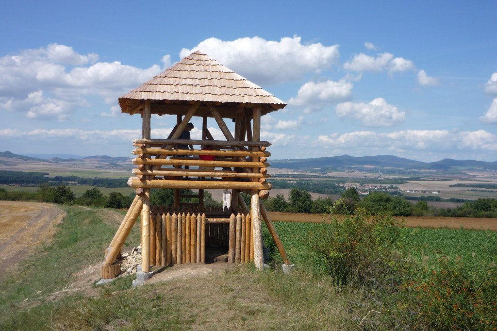
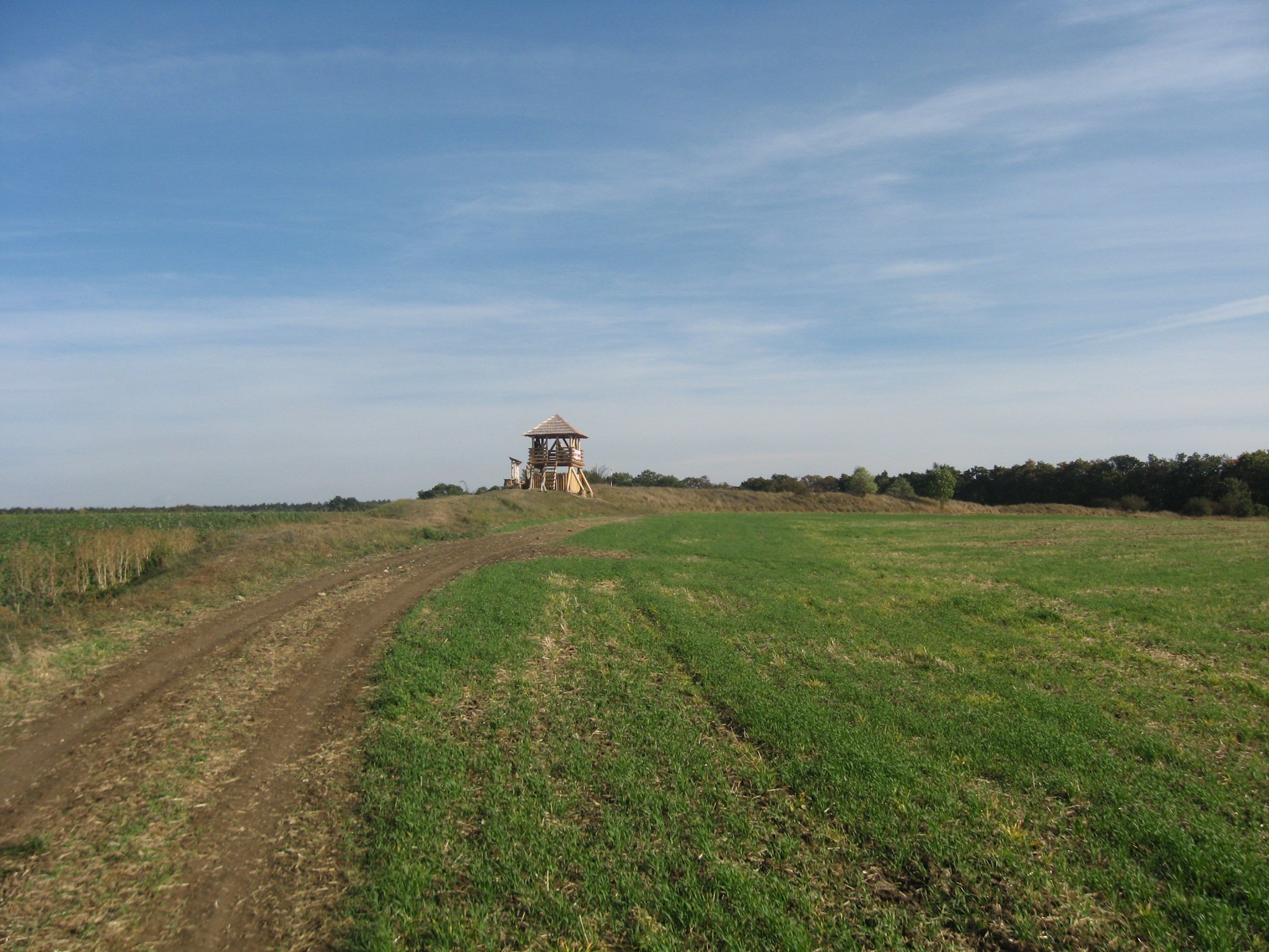
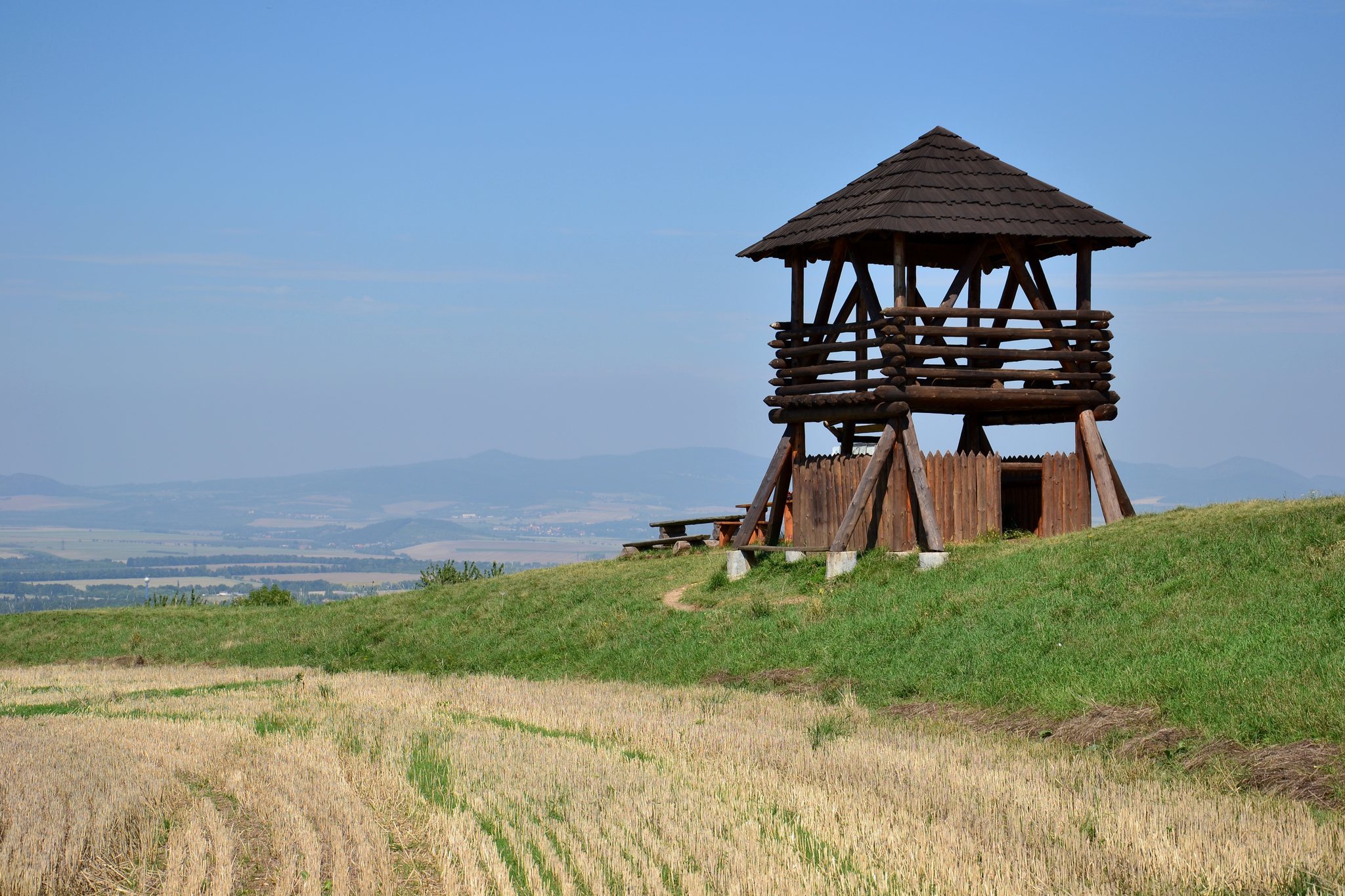
A lookout tower called Stradonka has stood on the remains of the ramparts since 2009.