Tsukuriyama Kofun: A Kofun-Period Burial Mound in Japan
Site at a Glance
- Rating
- 3.8
- Popularity
- Very Low
- Country
- Japan
- Primary era
- Classical
- External website
- Open
- Eras represented
- Classical
- Civilizations
- Unclassified
- Site type
- Burial
- Remains
- Burial Mound
On this page12 sections
History
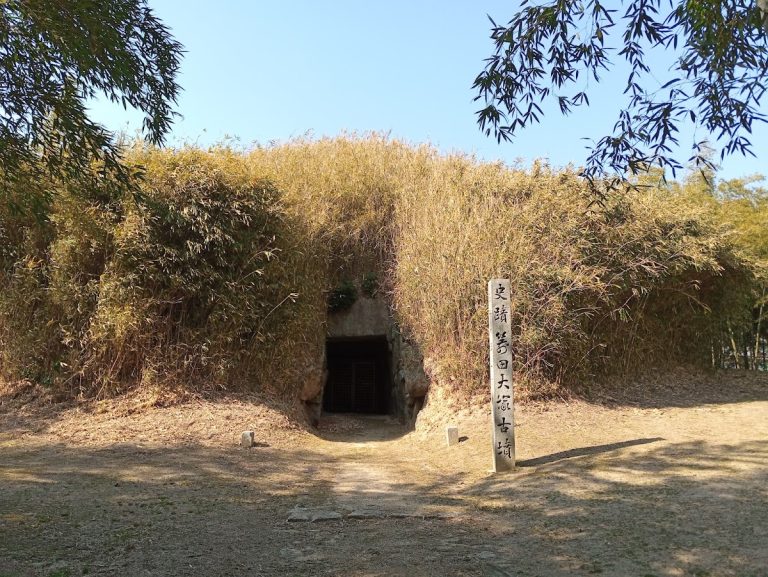
Tsukuriyama Kofun is a large Kofun-period burial mound in Misu, Soja, Okayama Prefecture, Japan, probably constructed in the middle of the fifth century during the middle Kofun period. A kofun was a monumental burial mound built in Japan mainly between the third and seventh centuries, when large elite tombs reflected the growth of regional political authorities. Tsukuriyama Kofun is regarded as the second-largest kofun in Okayama Prefecture and the tenth-largest in Japan.
Construction in the Middle Kofun Period
The mound followed the construction of Zozan Kofun in Okayama and preceded that of Ko-Zozan Kofun. This sequence is associated with a general reduction in mound size, although Tsukuriyama Kofun itself has a less regular form because natural hillocks were left partly unmodified during construction.
Unlike earlier Kofun-period mounds in the Kibi region, which were generally built at established locations containing earlier kofun, Tsukuriyama Kofun and related middle-period mounds were placed in areas without previous burial mounds. The northern hills contain seventeen early kofun, while the wider surrounding group includes approximately 350 early and later kofun.
Political Landscape and Modern Investigation
Tsukuriyama Kofun was built on an independent low hill in southern Okayama beside an ancient route that preceded the early modern Old Sanyo Road. Its position is interpreted as a deliberate display of political power to travellers using the route. Along with other major mounds on the same corridor, it has been connected by archaeological interpretation to the ancient Kibi polity, a powerful regional authority corresponding broadly to the Okayama area. This political connection remains a supposition rather than a directly documented historical fact.
The mound has not undergone a full archaeological excavation. Research has included measurement diagrams published in 1986 and 1987, measurement surveys by Soja City from fiscal year 1997 through fiscal year 2014, and aerial three-dimensional measurement conducted in 2011 by Okayama University and Asia Air Survey.
Tsukuriyama Kofun was designated a National Historic Site on March 3, 1921, under the designation “Tsukuriyama Kofun First Kofun,” which applied to a residual hillock within the site. Parts of the site outside houses and graves were acquired as public land in 1967 and 1973. The surrounding area forms part of Kibiji Fudoki-no-Oka Prefectural Natural Park.
The existence of subsidiary burial mounds remains uncertain. A small hill south of the constricted section was once regarded as a subsidiary mound called the First Kofun, but it is now considered one of the unmodified hillocks associated with the main mound. The relationship between Tsukuriyama Kofun and Nomiya Kofun, a keyhole-shaped mound on the ridge to the north, is also unknown.
Remains
Overall Form
Tsukuriyama Kofun is a keyhole-shaped mound, combining a rounded rear section with a projecting front section oriented toward the southwest. The mound is approximately 282 meters long and was built in three tiers. An earlier aerial survey measured it at approximately 286 meters, but later surveys revised the length to 282 meters.
The rear section is oval rather than circular, measuring approximately 175 meters along its long axis and 160 meters along its short axis. It rises about 24 meters. The front section is also arranged in three tiers, with a maximum width of approximately 170 meters and a height of about 23 meters.
Platforms and Terraces
Natural Hillocks and Front Section
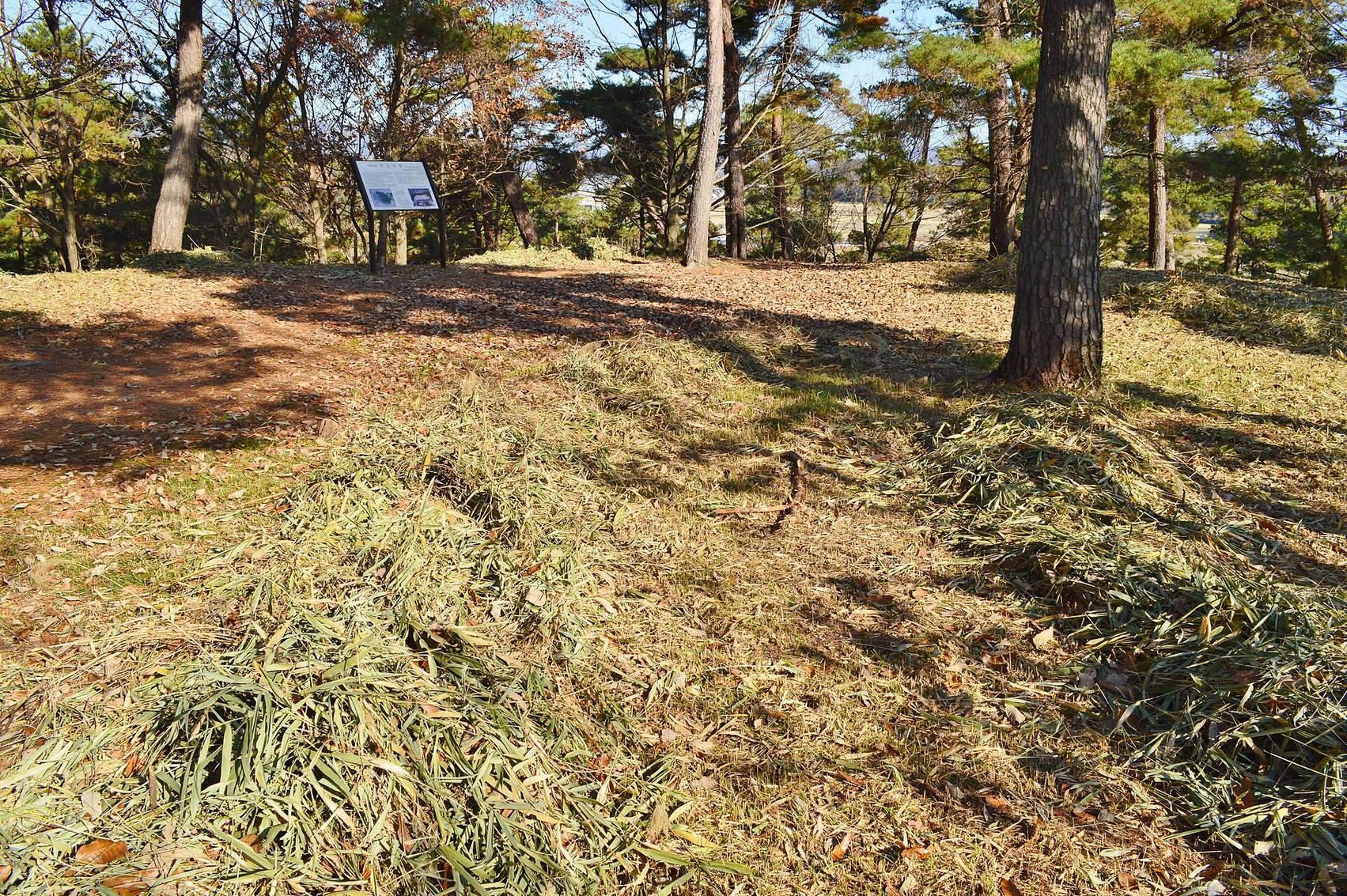
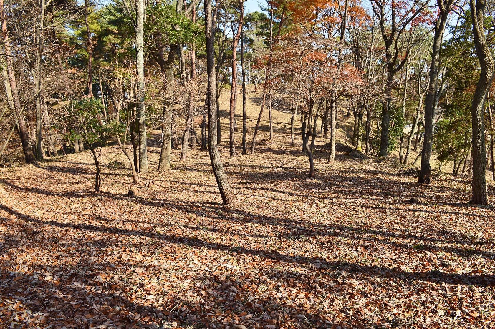
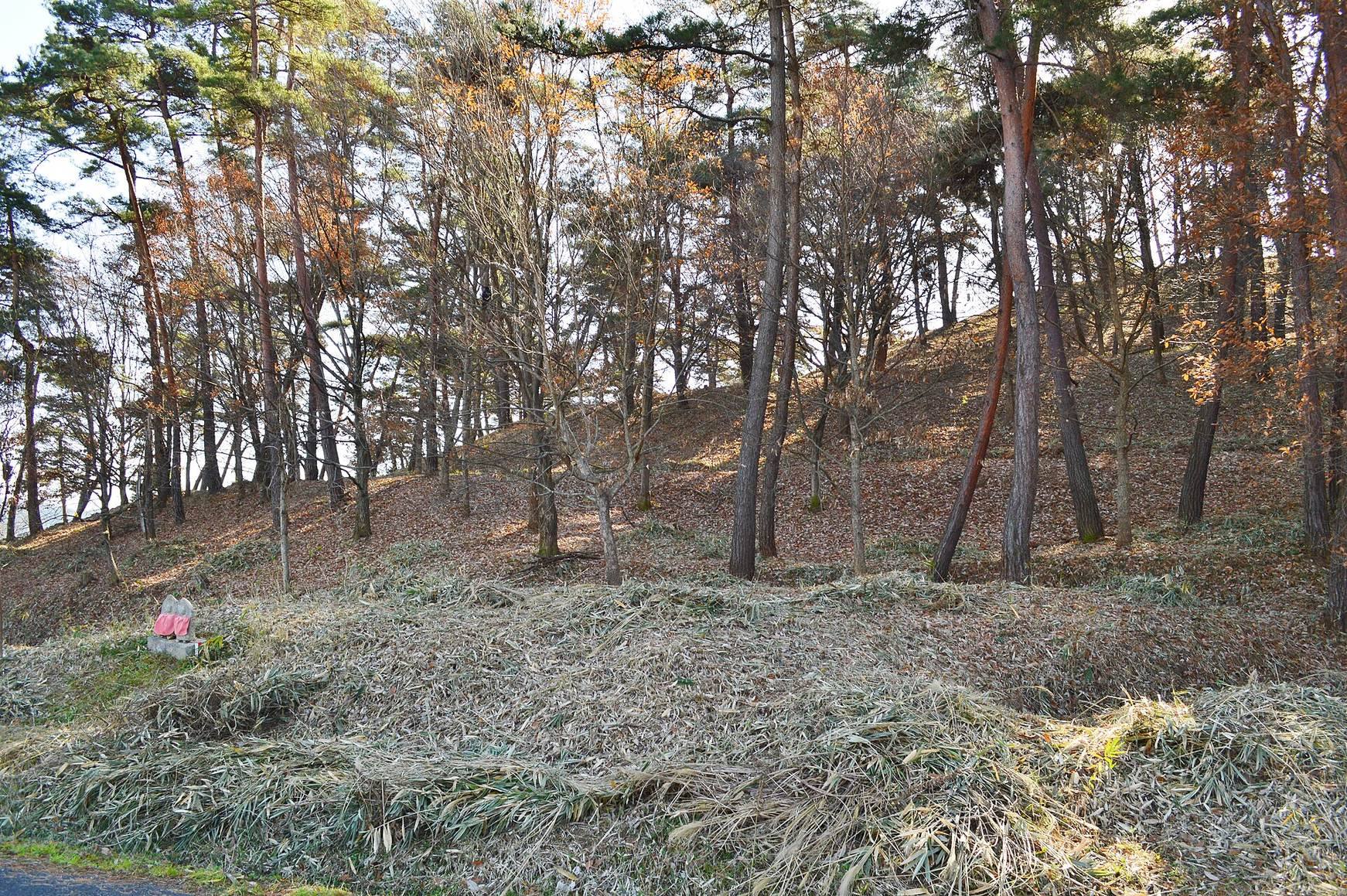
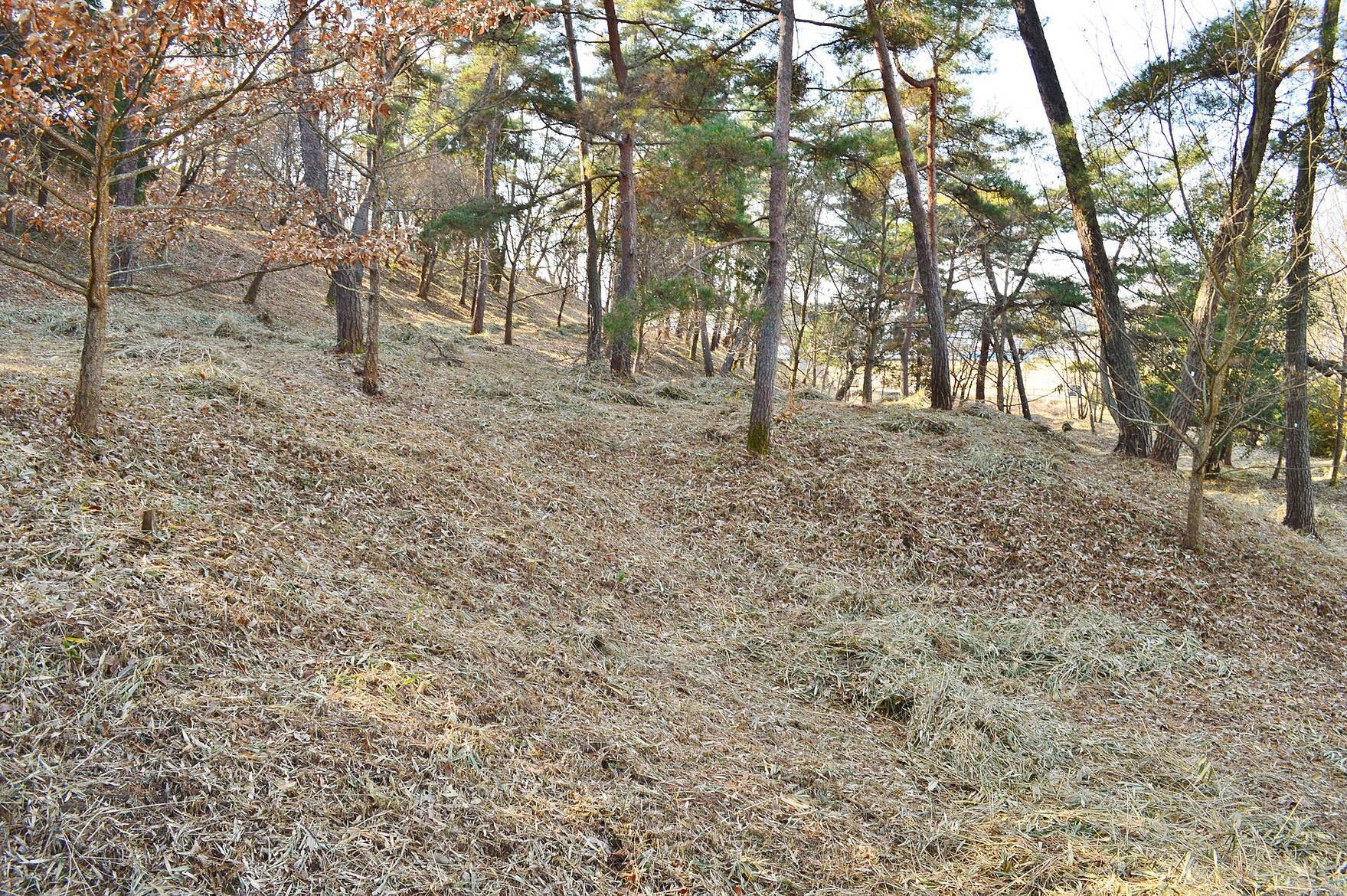
The mound incorporates a natural low hill, leaving unmodified hillocks especially in front of the projecting section and in other parts of the site. A small trapezoidal projection survives at the front edge of the front section. The northern side is relatively well preserved, while houses and roads have substantially altered the southern foot.
Northern Projecting Platforms
A projecting platform on the northern side, known as a tsukuridashi, lies closer to the front section than to the constricted area. Two such platforms stand side by side, an arrangement described as exceptionally rare. A smaller projection-like extension lies farther toward the front section, and a southern projecting platform has also been considered possible. The northern platform’s position differs from the arrangement at Zozan Kofun and is regarded as a later developmental form.
Rear Terrace
A terrace-like landform approximately 20 meters wide surrounds the rear section. A formal moat has not been established. Features interpreted as a surrounding embankment may instead be surviving terrace areas that were not removed during cultivation.
Burial Facility and Haniwa
Burial Facility
The burial facility remains unknown because the mound has not been fully excavated. No robbery pit has been identified, so the burial facility may remain intact within the mound.
Stone Covering and Haniwa
Breccia slabs cover the mound’s surface, while rows of haniwa were placed along the level surfaces of its successive tiers. Haniwa were clay objects set on and around burial mounds. Cylindrical examples commonly formed lines or boundaries, while figurative examples represented people, animals, buildings, weapons, or ritual objects.
Most recovered material consists of cylindrical haniwa and morning-glory-shaped haniwa. Their rows are thought to have extended around the tier surfaces, with as many as 5,000 objects estimated in total. Most were probably fired in climbing kilns, and their forms vary. Their manufacture began broadly in the second quarter of the fifth century and continued until around the middle of that century.
A small number of other figurative fragments have also been identified. These include part of a warrior haniwa from the shoulder and stirrup area, several fragments of umbrella-shaped haniwa, and pieces whose original vessel type cannot be identified.