Tatetsuki Site: A Late Yayoi Burial Mound in Japan
Site at a Glance
- Popularity
- High
- Country
- Japan
- Primary era
- Classical
- Eras represented
- Classical
- Civilizations
- Yayoi
- Site type
- Burial
- Remains
- Burial Mound
On this page13 sections
History
Late Yayoi origins
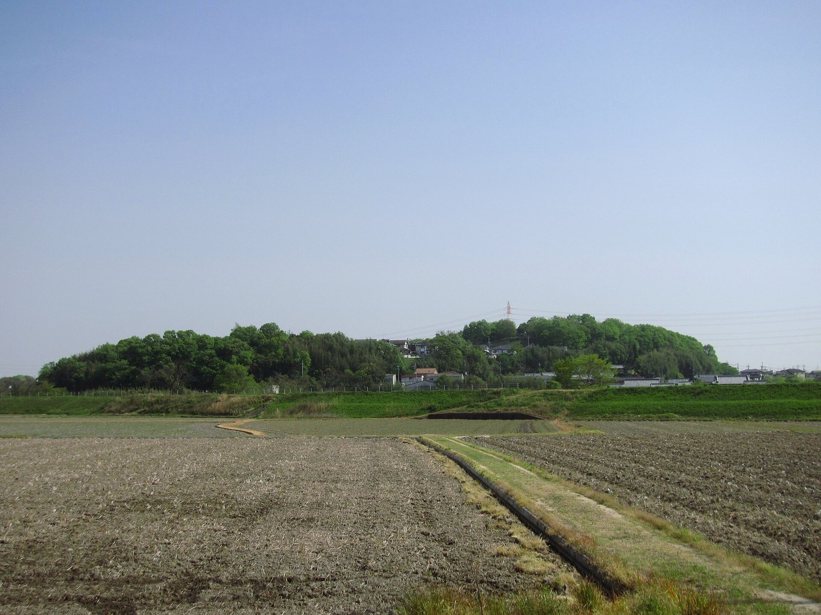
The Tatetsuki Site is a burial mound in Yabe, Kurashiki, Okayama Prefecture, Japan, constructed in the late second century during the Yayoi period, an archaeological era that preceded the Kofun period. It is interpreted as the tomb of a powerful leader of Kibi, an ancient polity in western Japan broadly corresponding to present-day Okayama and nearby areas.
The mound’s scale and funerary pottery have been linked to the growth of large burial mounds along the Seto Inland Sea after the Wa civil war. Wa was an early name for Japan in Chinese historical writing, and the conflict took place at the end of the second century. The mound is understood as evidence of substantial local political authority, including the use of special vessels in funerary ceremonies.
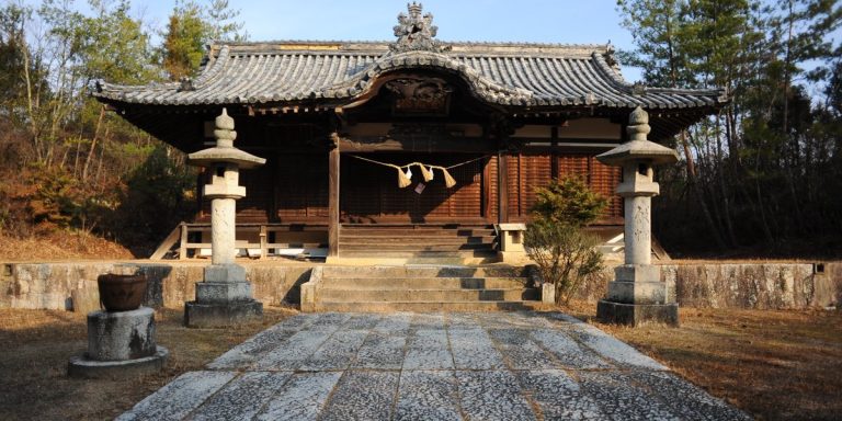
Shrine traditions
A reference from 1615 names the hill “Shield Mountain,” perhaps reflecting an interpretation of its standing stones as shields. A shrine was established there between 1681 and 1684. A text from 1700 connects the hill with the legend of Ura, a demon in local tradition who camped there. By about 1757, the story instead associated the hill with Kibitsuhiko-no-Mikoto, a legendary hero of the Kibi region.
Tatetsuki Shrine was joined with another local shrine in 1909. Its sacred stone was temporarily moved to the other shrine and returned to the hill in 1916. The shrine continued into the early Taisho period, which lasted from 1912 to 1926. In 1921, the site was identified as a burial mound.
Archaeological investigation and protection
Housing development at the end of 1972 or the beginning of 1973 almost completely destroyed the northeast projection and damaged the southwest projection. A water tower was built on the southwest projection, further affecting the mound. Surveys of the mound and surrounding terrain took place in 1973 and 1982, and the standing stones were measured in 1988.
Seven archaeological investigations between 1976 and 1989 were led mainly by Okayama University’s archaeology research group and the Kurashiki City Board of Education. They clarified the mound’s extent and funerary character, and examined its projections and slopes. Later work focused on the surviving southwest projection and the site’s boundaries. The site became a National Historic Site on December 9, 1981. At first, protection covered only land owned by the local shrine; the remaining land, then privately held, became municipal property in 1982. The carved stone was designated a National Important Cultural Property on June 5, 1982.
Remains
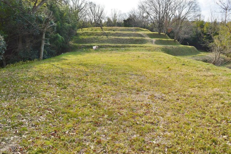
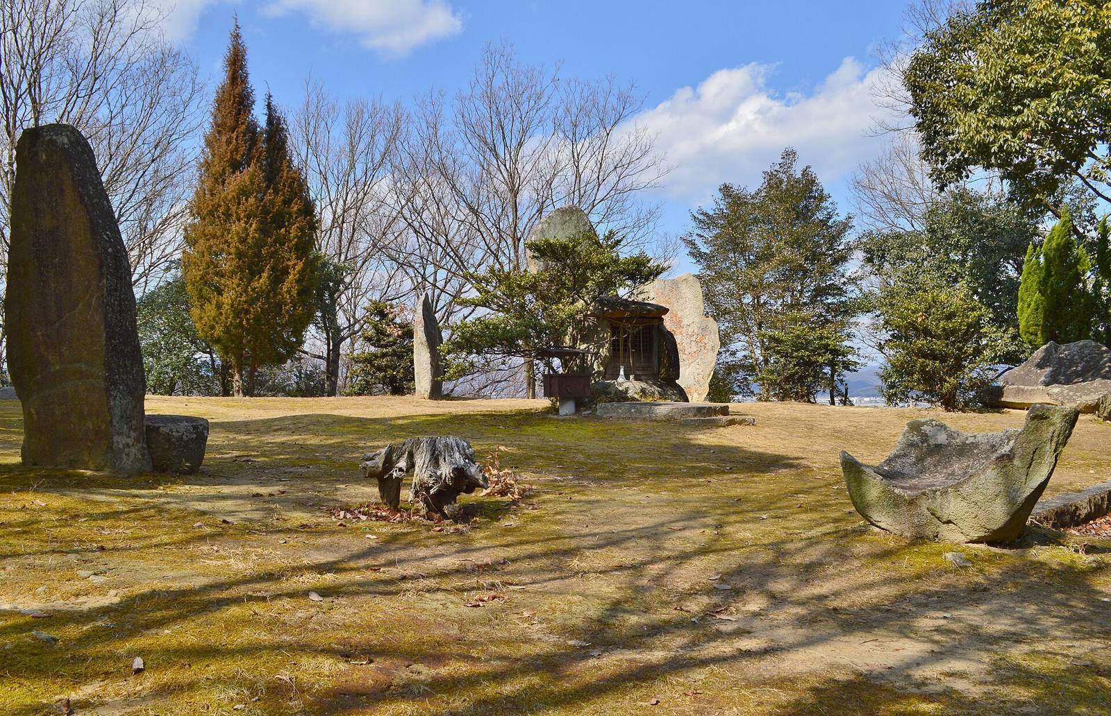
The mound occupies the northern part of a hilltop, with its northeast projection reaching onto an adjoining ridge. Its plan combines an irregular elliptical central mound with rectangular projections to the northeast and southwest. The total length along its main axis is estimated at 83 metres, while the central mound is about 49 metres across at right angles to that axis. Builders cut into the natural ground and added earth to form the mound.
Central mound and summit
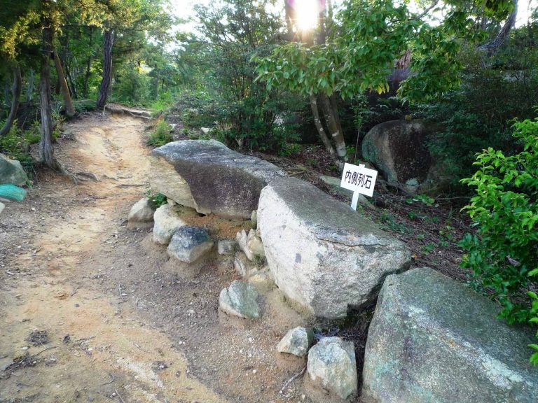
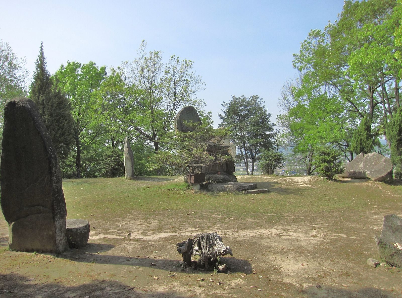
A narrow terrace at the foot of the slope marks the edge of the central mound. Its height is generally described as about 4–5 metres, though measurements vary with the elevation at the edge: 7.1 metres on the southeast, 5.4 metres on the northwest, and 5.0 metres on the west. Two rows of stones follow the slopes. Rounded pebbles covered the summit, where six standing stones were erected and pottery was placed. A circular pebble deposit lay above the central grave pit, alongside a stone-lined underground drainage feature. A post hole 29 centimetres wide and 1.71 metres deep is interpreted as the footing for a large, probably tall post. The ground plan of a building was also identified, offering limited evidence for its interpretation.
Burial facilities
Central burial
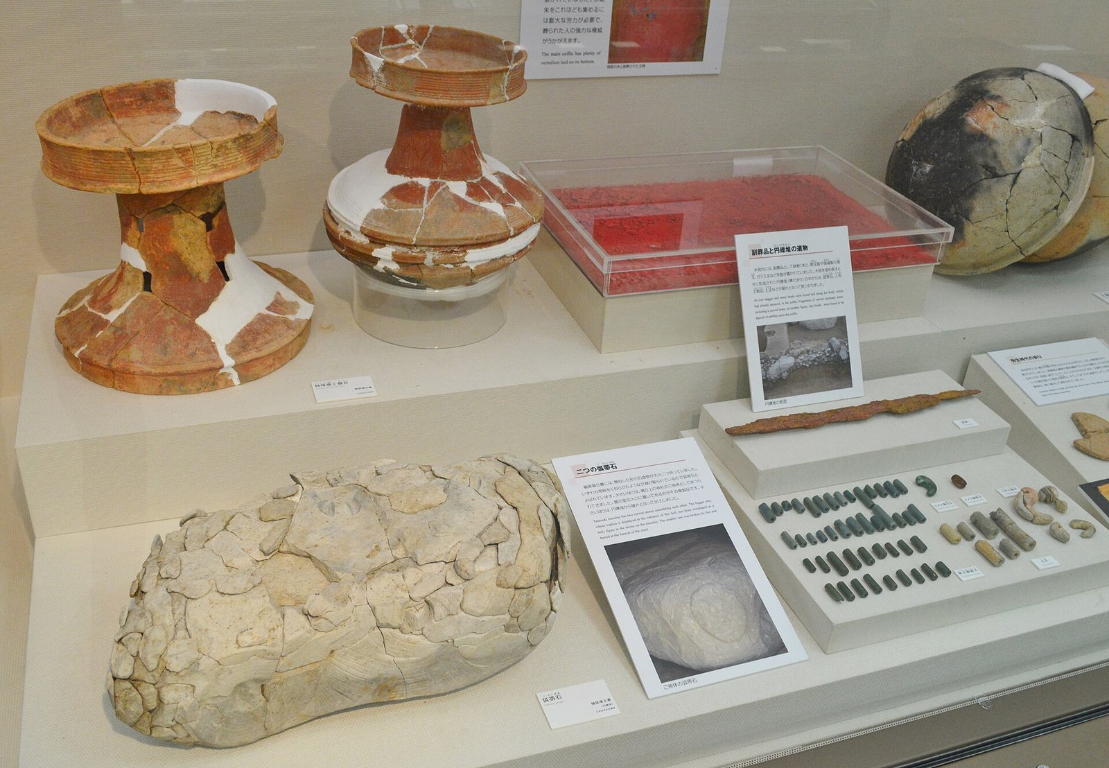
The central burial lay 1.5 metres below the middle of the summit. Its wooden coffin measured about 2 metres long and 0.7 metres wide, with 30 kilograms of vermilion spread thickly over the bottom. Two small tooth fragments were recovered. A wooden outer chamber, measuring 3.5 by 1.5 metres, enclosed the coffin. Its grave goods included an iron sword, two necklaces, many glass beads, and small tubular beads, now held at the Okayama University Archaeological Museum.
Southeastern burial
A second burial was found 9 metres southeast of the central one. Its container was a coffin hollowed from a log, and a small amount of vermilion was placed with the burial.
Rectangular projections
Northeast projection
The northeast projection is largely destroyed, with a small section of its southeast side surviving. This portion extends about 10 metres and is 3–4 metres wide across the top. Its front drops steeply by about 2–3 metres to an east–west path. Near the junction with the central mound, two stone rows retain three stones in one row and five in the other; rounded pebbles covered the slope between them. A level area several metres wide partway down the northwest slope is considered part of the mound. Pottery found on and beneath the pebble covering is thought to have washed downslope with it, though some pieces may originally have been placed beyond the second stone row. Red-lacquered, pot-shaped earthenware was also found in a projection damaged during housing development.
Southwest projection
The southwest projection has been heavily damaged by the water tower, but parts of its sides and front remain. It forms a narrow ridge about 20 metres long, several metres wide, and roughly 2 metres high. Its tip is rounded on both sides and has a substantial row of stones. A deep, ditch-like cut crosses the hilltop in front of it. At the projection’s front base, a stone row stood below a stone wall, much of which has collapsed. A small part of the tip survives; excavations also exposed a ditch and stone rows in front of it. Middle Kofun-period Sue ware, a high-fired Japanese stoneware, was associated with a small ritual feature. The Kofun period takes its name from Japan’s ancient burial mounds.
Carved stone and moat
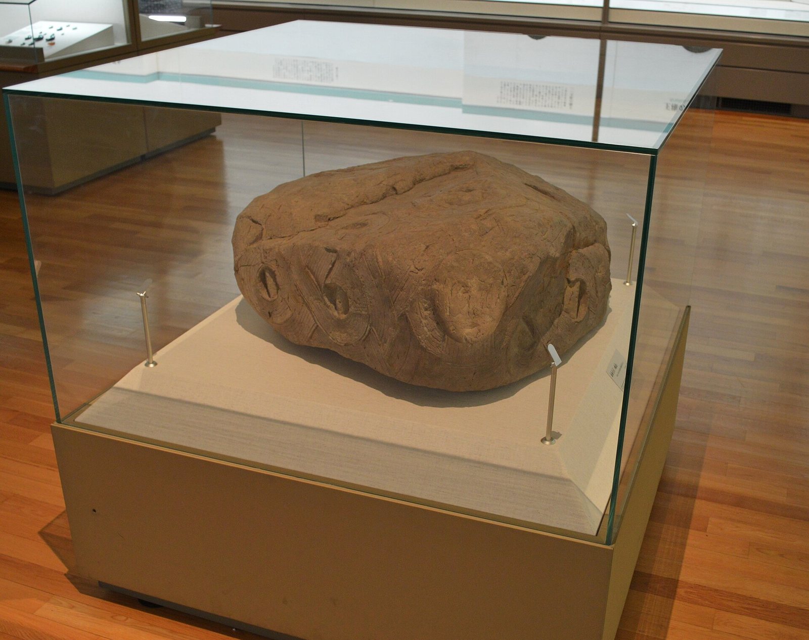
The carved stone associated with Tatetsuki Shrine bears swirling bands and disc patterns across its surface. These designs have been compared with motifs on special stands for ritual Yayoi vessels; similarly patterned stone discs are known at Makimuku, an archaeological complex in Sakurai, Nara Prefecture, associated with early Japanese political centres. The shrine-associated stone and a separate fragment recovered during excavation are two examples. The shrine’s stone is kept in a storehouse near the ruins.
A moat may once have encircled the mound; it is now filled in.