Chitose Kurumazuka Kofun: A Sixth-Century Elite Burial Mound in Japan
Site at a Glance
- Rating
- 3.4
- Popularity
- Very Low
- Country
- Japan
- Primary era
- Medieval
- External website
- Open
- Eras represented
- Medieval
- Civilizations
- Yamato
- Site type
- Burial
- Remains
- Burial Mound
On this page15 sections
History
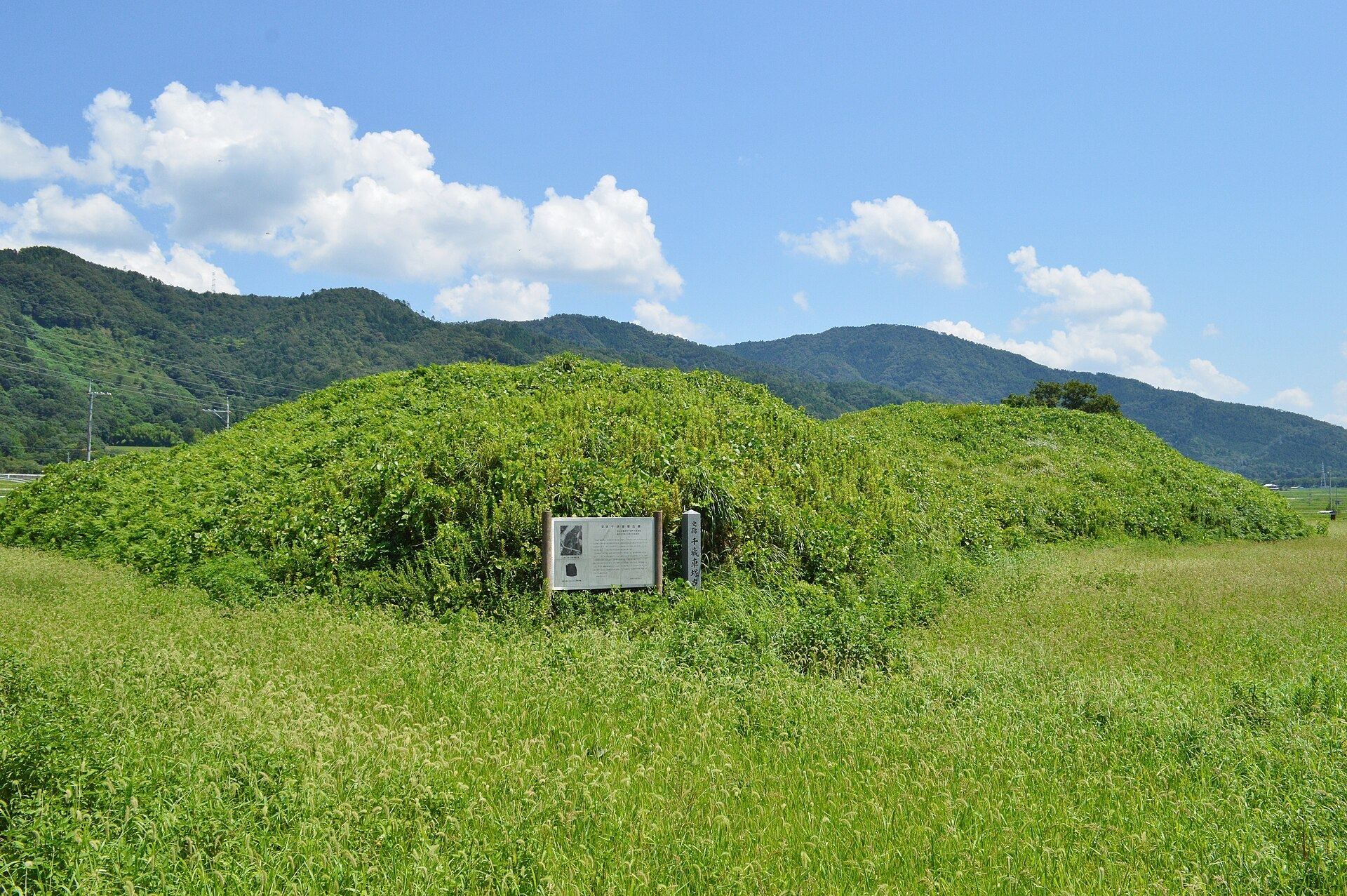
Chitose Kurumazuka Kofun is a sixth-century burial mound in Kameoka, Japan, built by the ruling elite of ancient Japan during the first half of the late Kofun period. It was the largest kofun in the Tamba region at the time and ranked among the larger burial mounds in the Kinki region. Its scale indicates the power of the person buried there, although the occupant remains unknown.
A regional center of power
The mound stands in the northeastern part of the Kameoka Basin and is generally understood as the tomb of a paramount regional chief. That authority may have extended across the Kameoka Basin and perhaps throughout southern Tamba. One interpretation carries the possible sphere of control as far as the Sasayama Basin in western Tamba.
Before 713, Tamba and Tango were administered as a single province. The size of Chitose Kurumazuka Kofun has therefore also been used to suggest that its occupant may have held authority across the wider Tamba-Tango area. No later chiefly tomb of comparable local importance was built in the area. Later elite burials appear to have shifted to other parts of southern Tamba.
Theories about the burial occupant
One theory connects the mound with King Yahiko, a royal figure preserved in early Japanese succession traditions. Yahiko was described as a descendant of Emperor Chuai and as a possible candidate for the throne after Emperor Buretsu died without an heir in the early sixth century, before the accession of Emperor Keitai. His historical existence is uncertain, and Yamato-hiko was a general name rather than a distinctive personal name.
The proposed connection rests partly on the mound’s exceptional size, the lack of another burial mound of similar scale immediately before or after it in the area, and the possibility that the buried person had come from elsewhere. Some interpretations see its unusual design as the expression of an older regional elite tradition, separate from the newer form used for contemporary royal and powerful chiefly tombs. At the same time, the mound’s haniwa supply links it to the Yamato kingship, the central ruling power that developed in the Kinai region and expanded its influence during the Kofun period. The occupant has consequently been viewed as someone connected by lineage with the Yamato royal house and perhaps comparable in status to a candidate for the succession.
Other traditions assigned different identities to the mound. A tradition associated with Emperor Nintoku states that the court woman Kuwata Kugahime died while returning to her home in Kuwata and that her tomb remained there. Although this tradition predates the mound by a considerable period, one interpretation holds that Chitose Kurumazuka Kofun later became associated with Kugahime after the original occupant had been forgotten. A separate local tradition identified it as the tomb of Empress Genmei and said that a person from the nearby place-name Kibi served as its guardian.
Archaeological investigation and setting
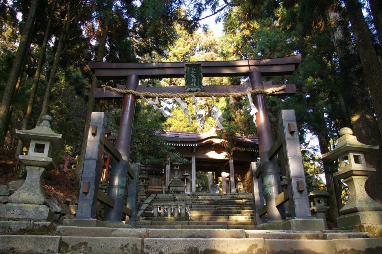
The mound’s vicinity includes the ruins of the Tamba provincial temple and provincial nunnery, as well as Izumo Daijingu, regarded as the first-ranking shrine of ancient Tamba. Archaeological investigation has also suggested that the surrounding area may have served as a cemetery during the Yayoi period, the era associated with wet-rice agriculture and developing social stratification before the Kofun period.
Investigations carried out between fiscal years 2001 and 2005 examined the area around the mound during agricultural land-improvement projects. The first investigation confirmed two surrounding moats and a raised, platform-like feature on the western outer bank. The second found a break in the southeastern moat, while the third established that an older watercourse had caused the moat on the eastern side to disappear.
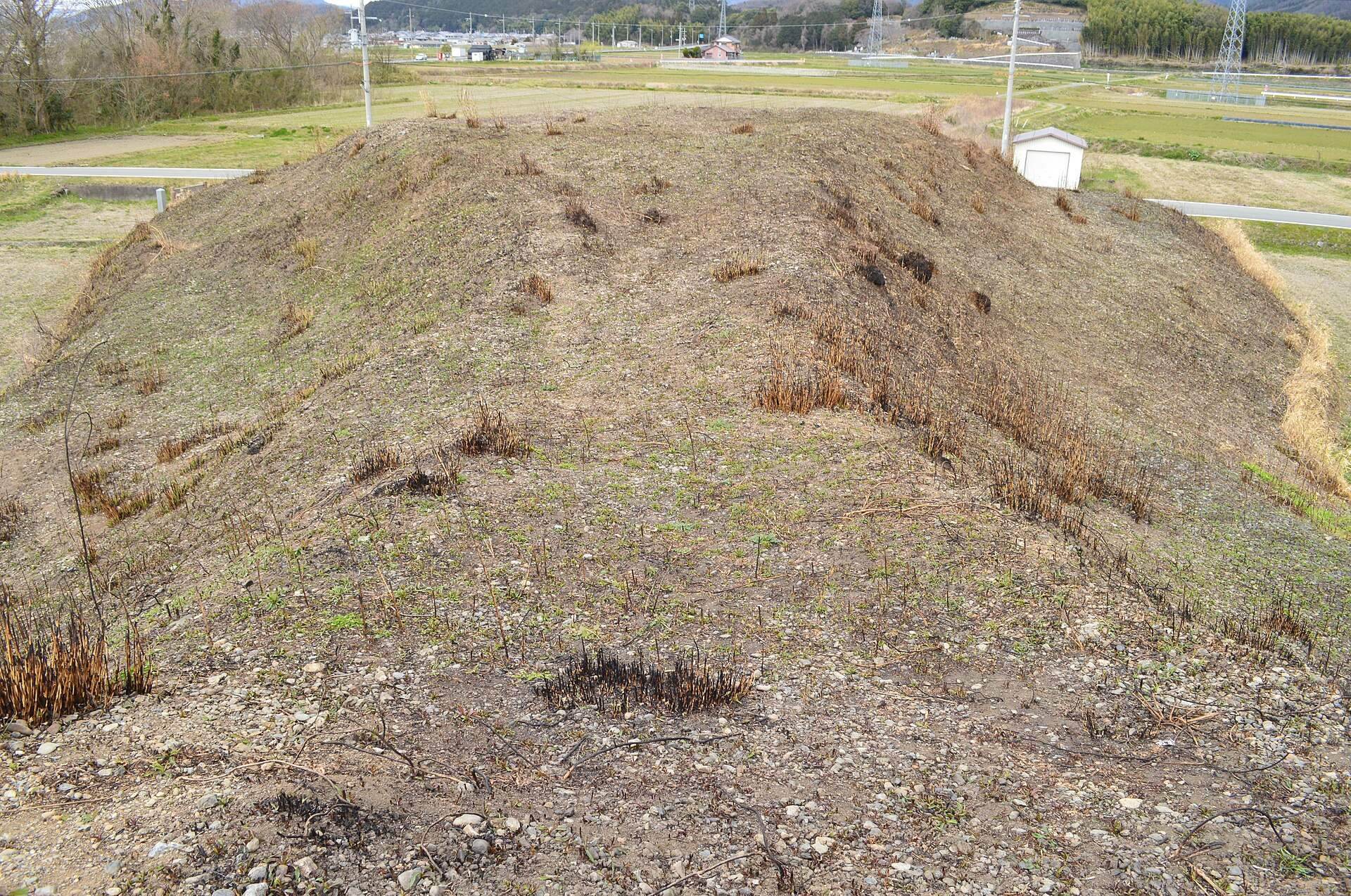
Chitose Kurumazuka Kofun became a Kameoka City Historic Site in 1970 and a National Historic Site of Japan on December 18, 1982. Controlled burning of vegetation is carried out each spring.
Remains
Chitose Kurumazuka Kofun occupies the tip of a plateau extending from Mount Inatsuki on the left bank of the Oi River. It is a keyhole-shaped mound, a burial form combining a square front section with a circular rear section, and is oriented toward the northwest. The surviving earthwork, its moats, stone covering, ceramic objects, and raised platforms together preserve the layout of a major elite tomb whose burial facility has not been excavated.
The mound and its construction
Circular rear section
The rear circular section was built in three stages. It measures about 46 meters across in its surviving form, or approximately 54 meters in a reconstruction that allows for the reduction of the lowest terrace, and rises about 7.5 meters. The mound was originally covered with fukiishi, stones laid over the slopes to protect the earthwork and finish its surface. Cylindrical haniwa, ceramic objects placed around burial mounds for boundary-marking and ritual purposes, lined the mound.
Square front section
The front section is also arranged in three stages. It is approximately 49 meters wide today, or about 62 meters in reconstructed form, and stands about 7 meters high. The mound measures roughly 82 meters in length, while its original length is estimated at about 88 meters. Its first terrace may have been around 3 meters high, but later reduction at the base removed most of that terrace and left the sides several meters high and cliff-like. The reconstructed measurements rely on the assumed terrace and on the locations where cylindrical haniwa were found.
Asymmetry, moats, and ceremonial spaces
Irregular keyhole form
The mound has an asymmetrical plan known as a one-sided-right-angle type. The central axis and the front edge of the square section do not meet at a right angle, and the front section is wider than the rear circular section. Its layout differs from the projecting, sword-guard-shaped form used for some contemporary royal and powerful chiefly tombs.
Moats and outer banks
Two moats once surrounded the mound, and the outer one may have been dry. The inner moat had a shield-like outline, traces of which survive as a lower-lying area around the earthwork. One side runs at a right angle to the front edge rather than forming a series of concentric curves around the rear section. On the eastern side, an older watercourse removed the moat.
Raised platforms
Raised, platform-like installations project from the western outer embankment, one in front of the constriction between the circular and square sections and another at the northwestern corner of the front section. They are thought to have provided spaces for ceremonies involving haniwa, particularly figurine haniwa. A further ceremonial platform may have extended from the left side of the constriction.
Burial facility and haniwa
Unexcavated burial
The burial facility itself has not been excavated. Its structure and the objects placed within it therefore remain unknown.
Ceramic fittings
Cylindrical haniwa were collected from the rear circular section. Their forms initially suggested a fifth-century construction date, but later examination classified them as Stage V haniwa, shifting the estimated construction date to the first half of the sixth century.
Clay analysis connects the haniwa with the Shinike Haniwa Production Site in Takatsuki, Osaka. The same production center supplied haniwa for Imashirozuka Kofun and several other major burial mounds. The recovered objects are displayed at the Kameoka City Cultural Museum.