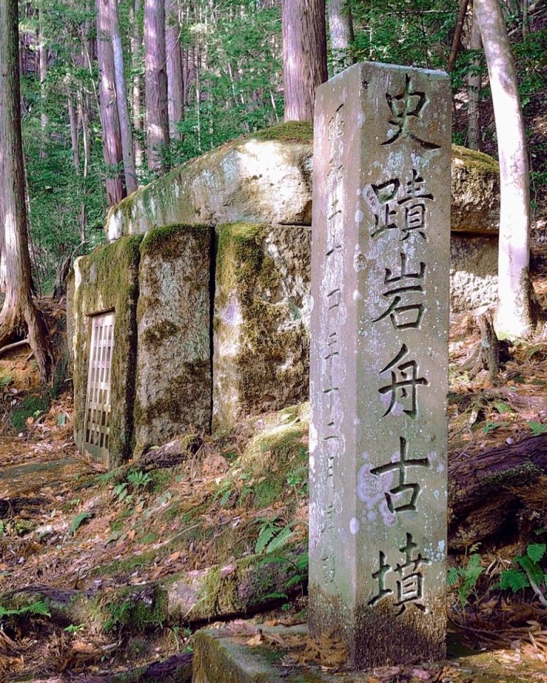
Izumo Kokufu: The Provincial Capital of Ancient Izumo
Site at a Glance
- Rating
- 3.9
- Popularity
- Very Low
- Country
- Japan
- Primary era
- Medieval
- External website
- Open
- Eras represented
- Medieval
- Civilizations
- Yamato
- Site type
- City
On this page8 sections
History
Izumo Kokufu is the former provincial capital of Izumo Province in Matsue, Japan, established by the ancient Japanese state under the centralized Ritsuryō administrative system and used from the late Nara period through the Heian period. This system, modeled partly on the institutions of Tang China, organized the country through provinces, appointed governors, and planned administrative centers.
Creation of the provincial capital
The capital emerged after the Taika Reform of 645, which laid the foundations for a more centralized government. Its layout followed a standardized tradition modeled on Fujiwara-kyō, Heijō-kyō, and ultimately Chang’an, the Tang capital. Izumo Kokufu served as the province’s center for administration, finance, policing, and military affairs. The compound also provided facilities for the provincial governor, known as a kokushi, and for storing tax rice and other taxable goods.
Historical records, including the Izumo Fudoki, placed the provincial capital somewhere on the Iu Plain, but they did not settle its exact location. The site was identified through an Edo-period land-survey register that preserved the place-name “kokuchō.” That name was understood to refer to the area later recognized as the ruins of Izumo Kokufu.
Government activity and rebuilding
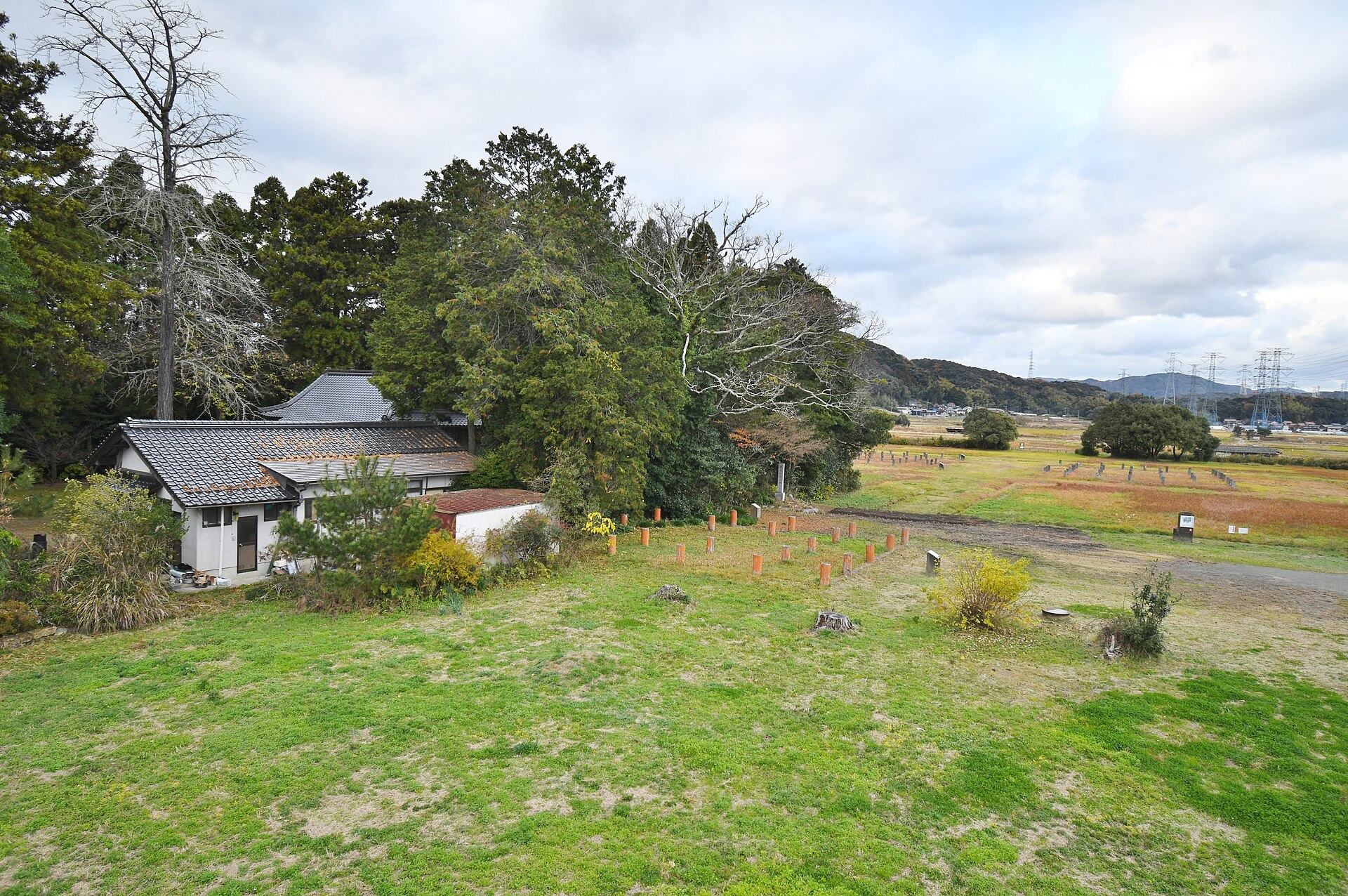
Archaeological investigations began in 1968 during preparations for the Yakumotatsu Fudoki no Oka archaeological park. Excavations carried out over three years identified the provincial-government site around Rokusho Jinja. A wooden tablet dated 701, together with another tablet mentioning a district administrative unit, shows that the government complex had been built by 701 or earlier.
The principal government building was constructed in the late seventh century and rebuilt six times. Its final rebuilding took place in the ninth century, demonstrating that the administrative center remained active through successive phases of the Nara and Heian periods. The wider provincial-capital system later declined as feudalism expanded during the late Heian period. As that system collapsed, the locations of many provincial capitals were lost or forgotten, including Izumo Kokufu until its rediscovery through historical and archaeological investigation.
Protection and interpretation
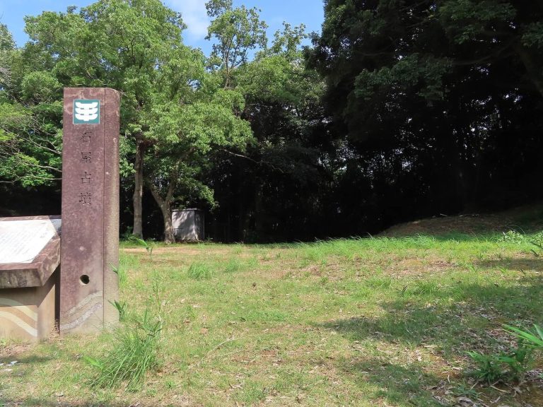
The ruins have been protected as a National Historic Site of Japan since 1971. Additional designations expanded the protected area in 2014 and 2015, although part of the designated area was released from protection in 2014. Izumo Kokufu now forms part of the Yakumotatsu Fudoki no Oka archaeological park, while excavated artifacts are preserved and displayed at the nearby Fudoki no Oka Exhibition and Learning Center.
Remains
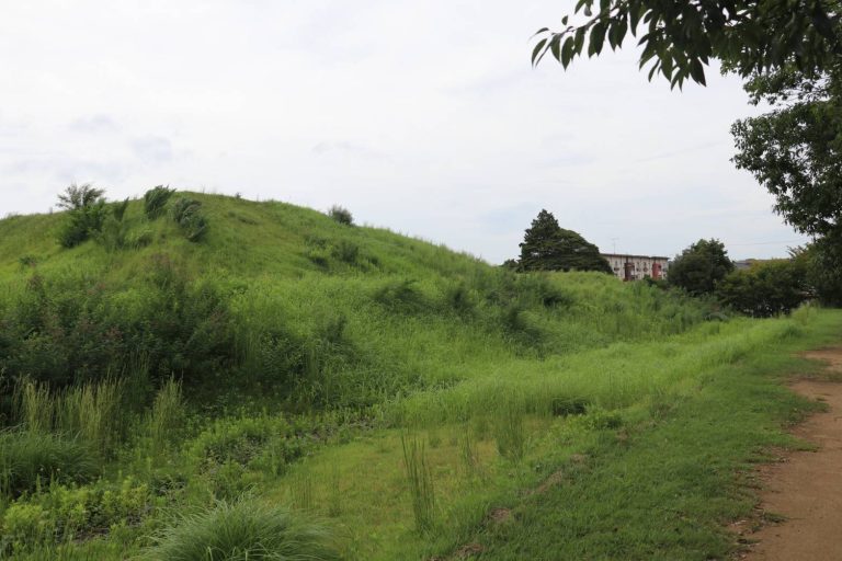
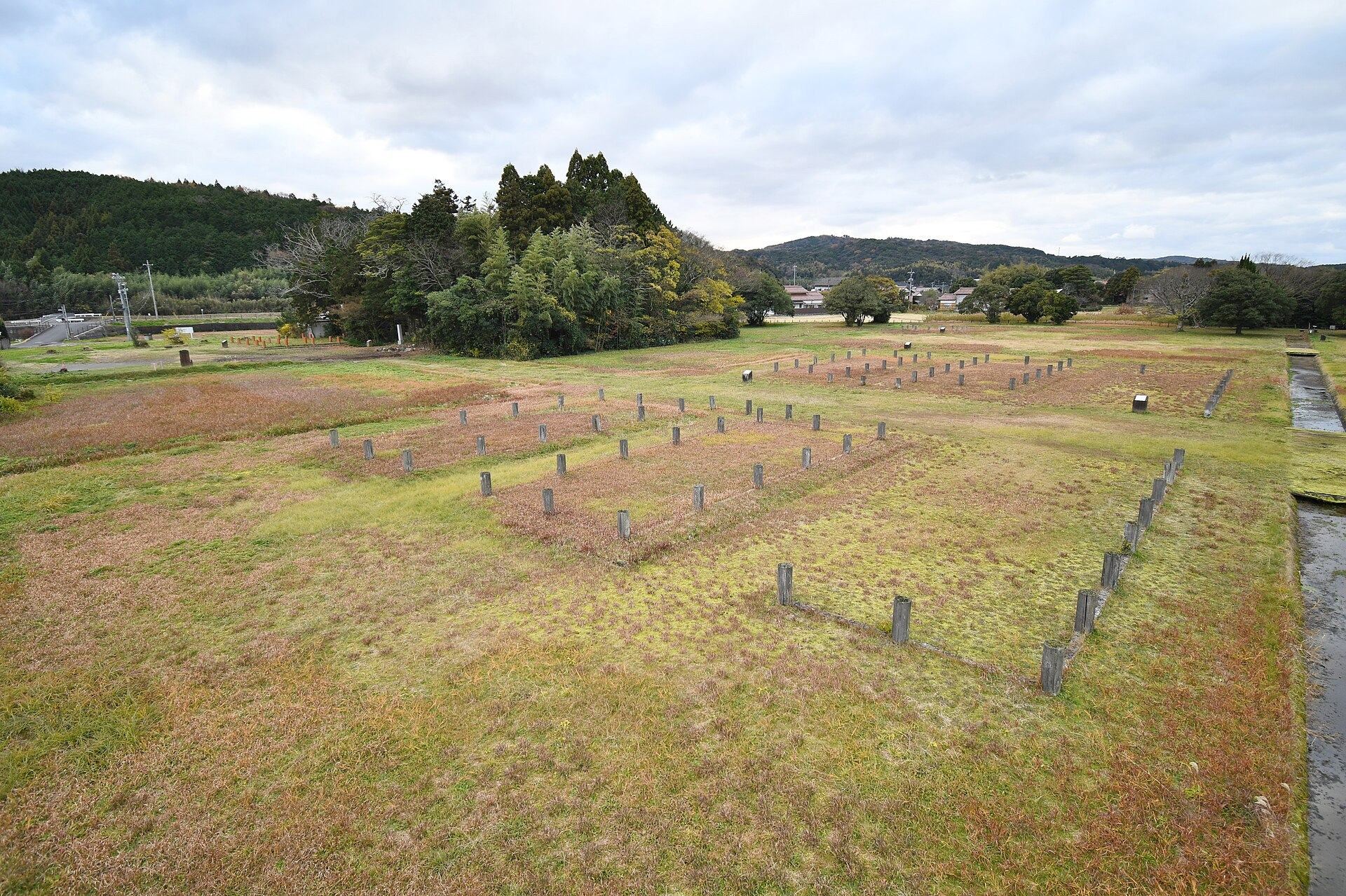
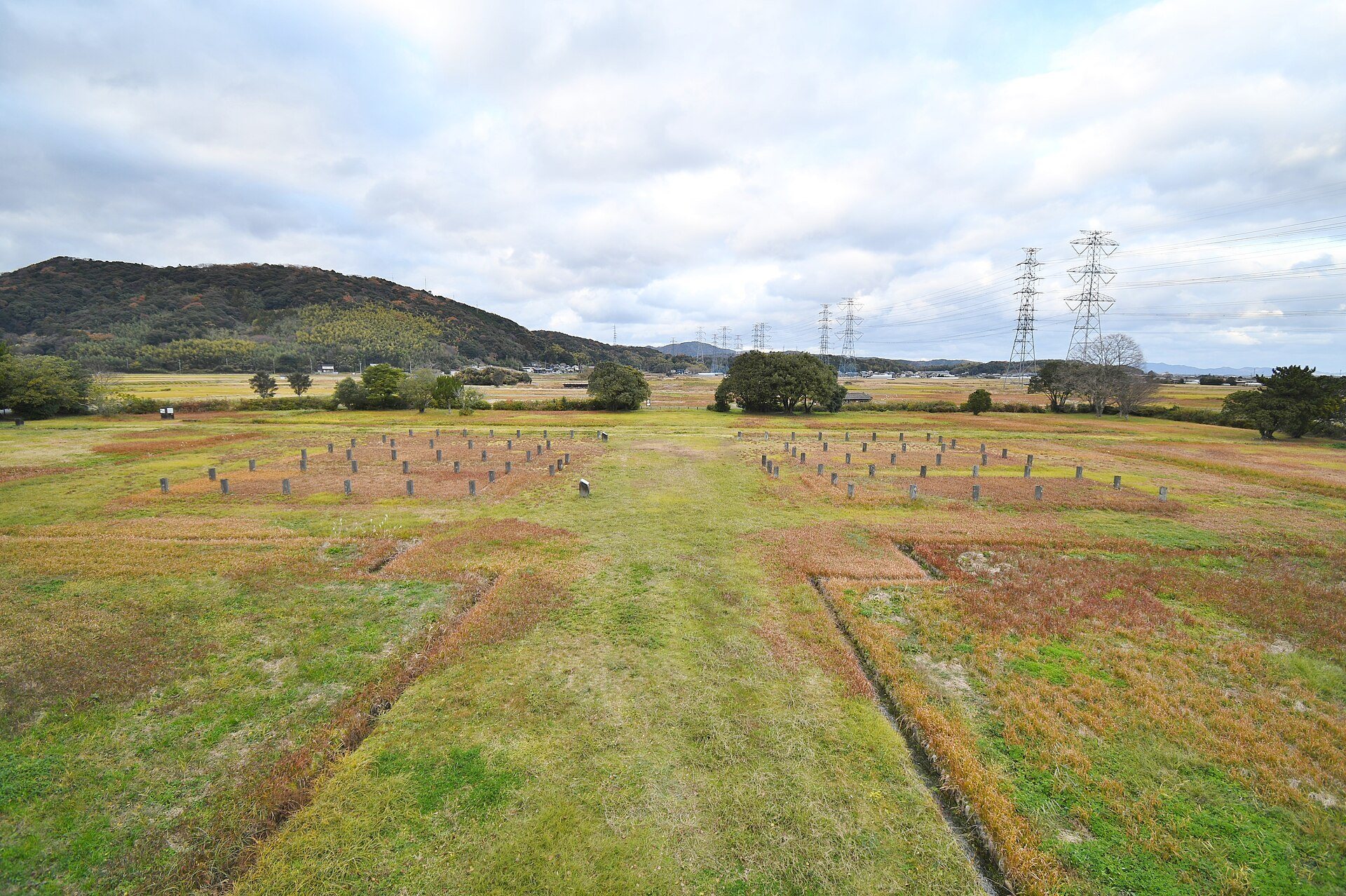
Izumo Kokufu occupies parts of Okusa, Yamashiro, and Takeya on the Iu Plain in Shimane Prefecture, at about 10 meters above sea level. The central complex formed a square enclosure measuring approximately 167 meters on each side. A large ditch or moat divided the enclosure, separating a southern government compound from the northern administrative area.
Government enclosure
The southern compound measured about 96 meters from north to south and 72 meters from east to west. It contained a principal hall, side halls, and other administrative buildings. To the east of Rokusho Jinja, excavators found the foundation of a large building interpreted as a national government structure. Built in the late seventh century, it was rebuilt six times, with the last reconstruction dating to the ninth century.
Northern administrative area
The northern half of the enclosure was subdivided by further ditches and contained a row of administrative buildings. The surrounding paddy fields retain the dimensions of the ancient jōri system, a grid-based method of surveying and allocating agricultural land. These surviving field boundaries preserve part of the spatial organization that once connected the provincial capital with its surrounding landscape.
Objects and written evidence
Excavations produced architectural materials and objects associated with government activity, including pillar fragments, roof and eaves tiles, large quantities of earthenware and tableware, inkstones for preparing ink, weights, whetstones, jade-related raw material, jade ornaments, and Wadōkaichin coins, an early Japanese coin type issued in the eighth century. A copper seal engraved with the character meaning “Spring” was also found.
Wooden tablets preserve administrative and logistical information, with inscriptions referring to a district, soldiers, deliveries, and quantities. Ink-written pottery mentions a kitchen, a sake cup, and a junior official. Other pottery carries incised references to a gate and to a place or area beside a shrine. Together, these materials connect the surviving foundations and divisions of the enclosure with the practical work of governing ancient Izumo.