Ōtsurumaki Kofun: A Kofun-Period Burial Mound in Japan
Site at a Glance
- Rating
- 3.7
- Popularity
- Very Low
- Country
- Japan
- Primary era
- Classical
- External website
- Open
- Eras represented
- Classical
- Civilizations
- Unclassified
- Site type
- Burial
- Remains
- Burial Mound
On this page6 sections
History
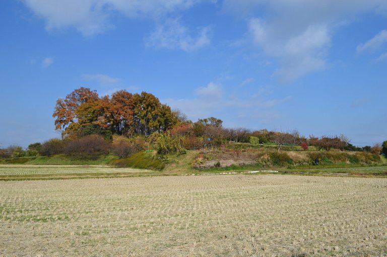
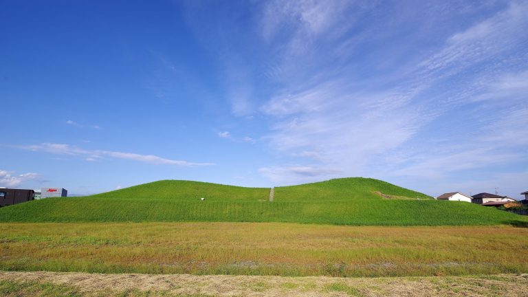
Ōtsurumaki Kofun is a Kofun-period burial mound in Japan, located in Takasaki, Gunma Prefecture. It was built from the end of the fourth century to the beginning of the fifth century and is one of the largest kofun in Gunma, a kofun being a large earthen burial mound built in Japan between approximately the third and seventh centuries. The mound forms part of the Kuragano Kofun Cluster, which contains 13 tumuli concentrated in the surrounding area.
The Kuragano burial landscape
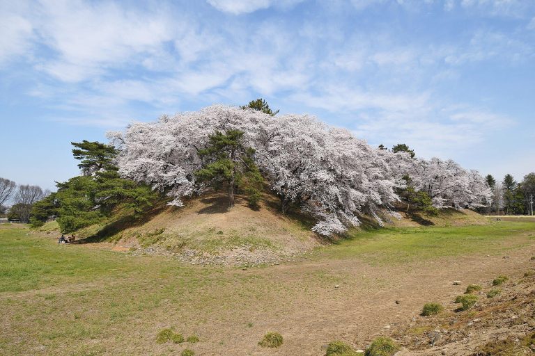
Ōtsurumaki Kofun stands near Sengenyama Kofun, about 500 meters to the northwest. Sengenyama measures 171.5 meters in length, while Ōtsurumaki Kofun and the nearby Kotsurumaki Kofun are regarded as designs based on a similar scale, at approximately two-thirds and one-half of Sengenyama’s size. The resemblance between Ōtsurumaki Kofun and Sakimisasagiyama Kofun in Nara Prefecture has been taken to indicate a close connection with the Yamato kingdom, the early centralized polity based in the Kinai region around present-day Nara, Kyoto, and Osaka.
Later construction beside the mound
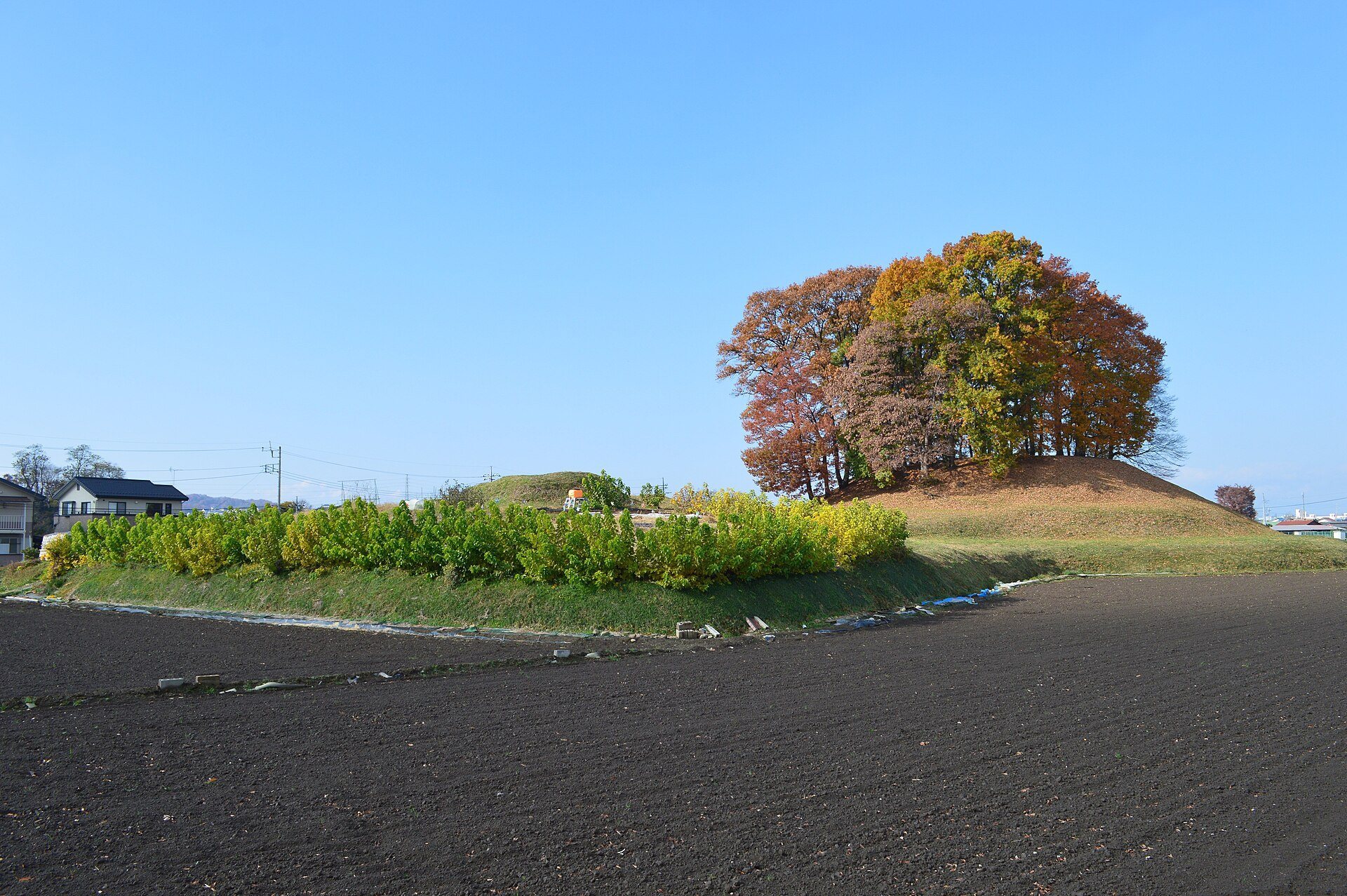
Kotsurumaki Kofun was built immediately north of Ōtsurumaki Kofun, beside the northern side of its rear mound. Its construction cut into and partly narrowed Ōtsurumaki Kofun’s surrounding moat, indicating that Ōtsurumaki was built first. Kotsurumaki is estimated to date from the latter half of the fifth century, based on a tuff stone coffin found there. It is not included within Ōtsurumaki Kofun’s National Historic Site designation, which was granted in 1927.
Remains
Main mound and moat
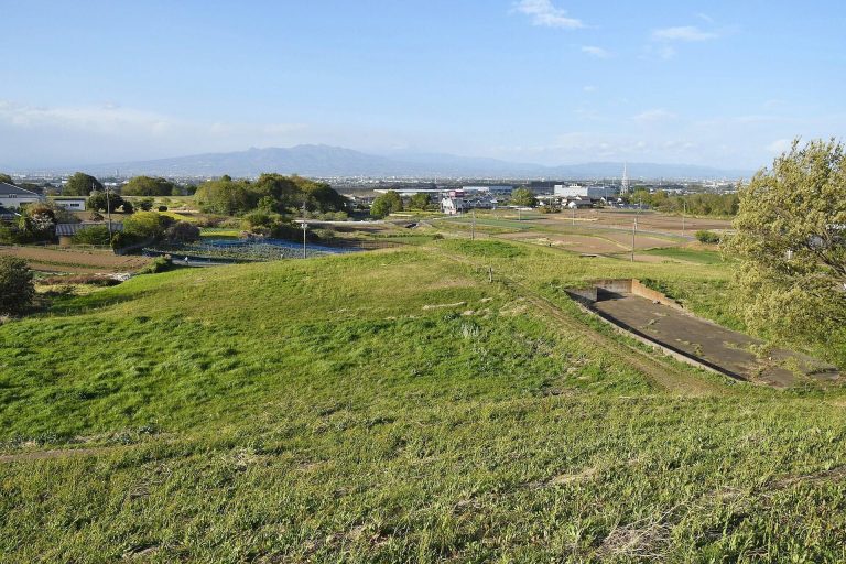
Ōtsurumaki Kofun is a keyhole-shaped mound, combining a rectangular front section with a circular rear section. It extends for 123 meters and is oriented toward the south-southeast on a plateau on the left bank of the Karasu River, near its confluence with the Kabura River. The circular rear section measures 72 meters across and rises 10.5 meters, while the rectangular front section is 51 meters long, 54 meters wide, and 6.5 meters high. The mound is generally understood as having two construction tiers, although the rear section has also been interpreted as having three.
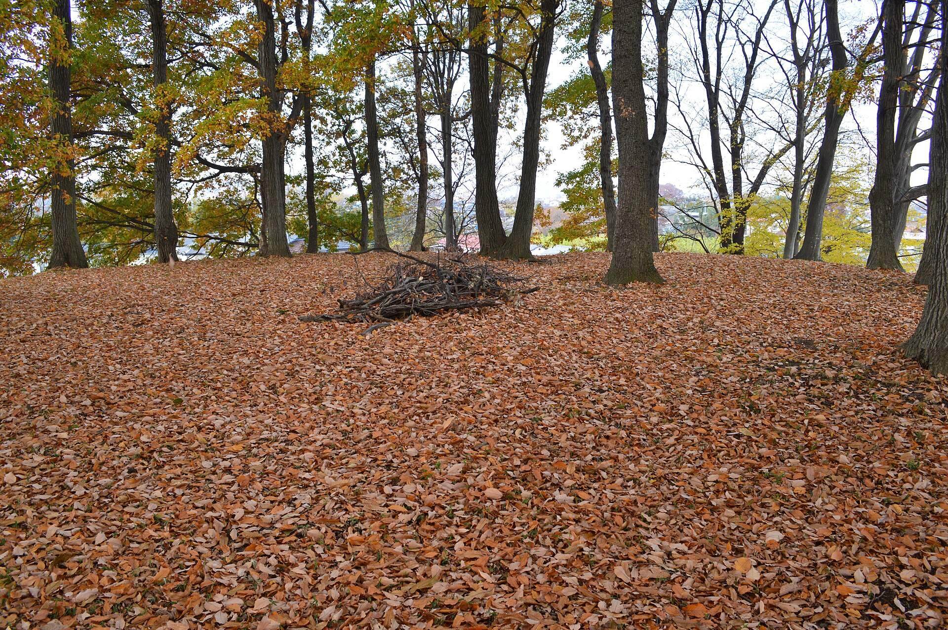
A shield-shaped moat surrounded the mound, and its outline survives in present land divisions. The northern part was partly narrowed by the later construction of Kotsurumaki Kofun. Fragments of haniwa and fist-sized stones occur on the mound. Haniwa are clay objects placed on or around burial mounds, and the surviving fragments indicate former rows of cylindrical, fin-bearing cylindrical, and figurine examples representing people and houses. The stones suggest a covering of fukiishi, a layer of stone applied to earthen slopes to help protect them from erosion. The cylindrical haniwa have black firing marks and pronounced projecting bands.
Kotsurumaki Kofun
Kotsurumaki Kofun is a smaller keyhole-shaped mound measuring 87.5 meters in length. A hollowed coffin made of tuff was found at the top of its circular rear section. The construction of this later mound altered the northern side of Ōtsurumaki Kofun’s moat and provides evidence for the earlier date of the larger mound. Ōtsurumaki’s burial facility is thought to have been a pit-type stone-lined chamber, although its form remains unidentified because the mound has not been excavated.