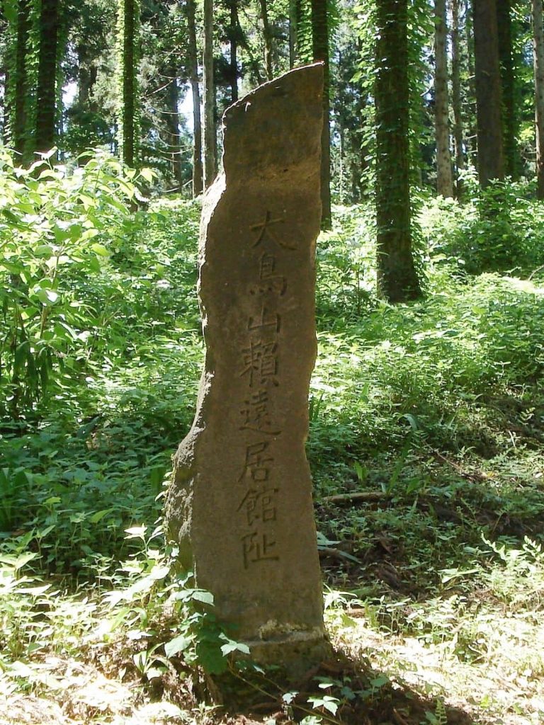
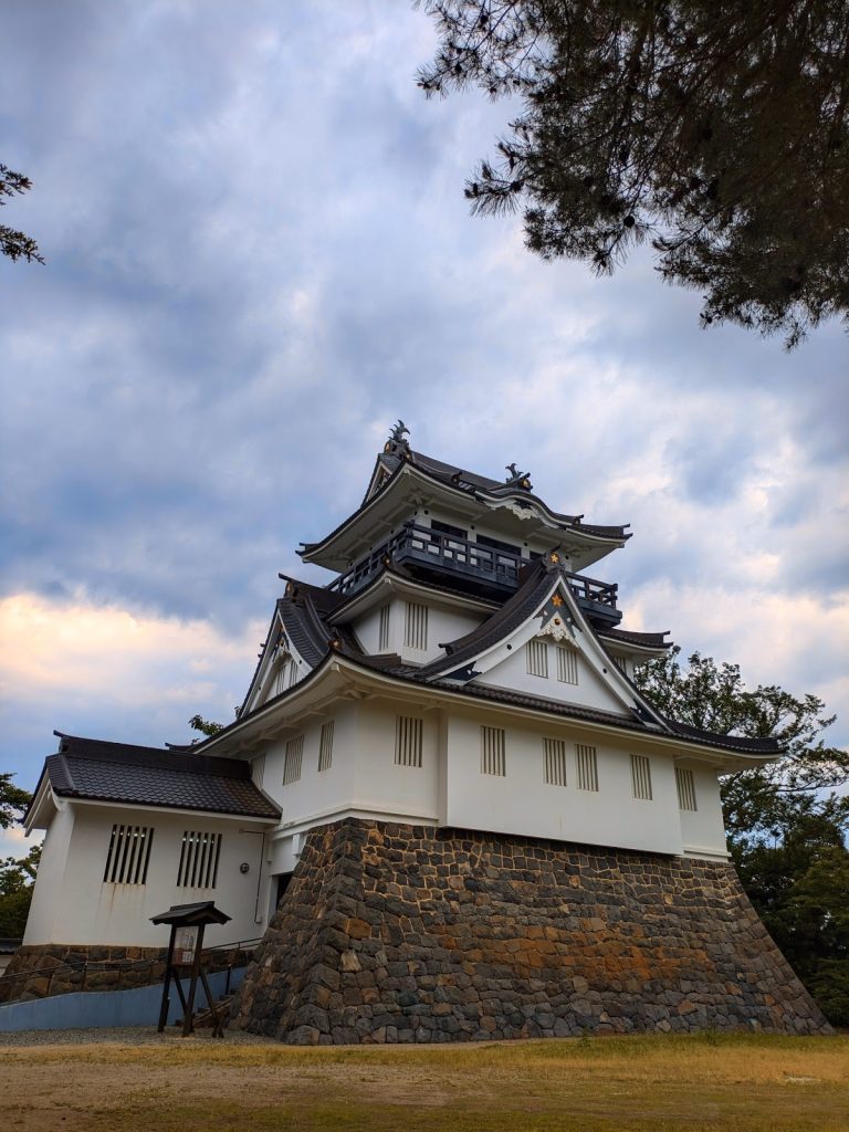
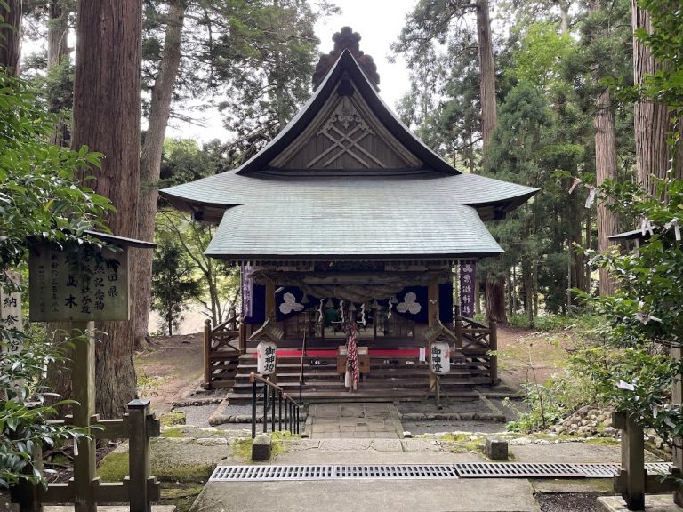
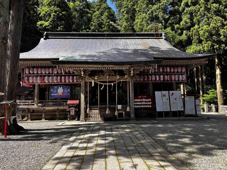
Hotta-no-saku: A Heian-Period Fortified Administrative Settlement in Japan


Site at a Glance
- Rating
- 4
- Popularity
- Low
- Country
- Japan
- Primary era
- Medieval
- External website
- Open
- Eras represented
- Medieval
- Civilizations
- Unclassified
- Site type
- Military
- Remains
- Fortified Town
On this page9 sections
History
Hotta-no-saku is an ancient fortified administrative settlement in Daisen, Japan, built by the Japanese state during the early ninth century in the Heian period. As a josaku, a frontier settlement combining military, governmental, and logistical functions, it formed part of the state’s efforts to consolidate control in northeastern Japan. The site is also known as the “Phantom Stockade” because its name does not appear in surviving documentary records.
Frontier construction in the early ninth century
Construction is generally placed in the early ninth century, during the reign of Emperor Kanmu, whose rule from AD 781 to 806 included military and administrative campaigns in northeastern Japan. Dendrochronology, the dating of wood by tree-ring patterns, placed timber from the outer palisade in trees felled in 801. This date connects the complex with the frontier building associated with Isawa Castle and Shiwa Castle in ancient Mutsu Province.
The site’s timber structures also preserve evidence of its administrative use. A wooden tablet gives the date as the tenth day of the first month in the second year of the Kasho era. Other inscribed wooden materials refer to Isawa Castle and Shiwa Castle. Mokkan, narrow wooden tablets used for records, labels, messages, and administrative documents, were part of the written culture of ancient government centers.
Debates over the site’s identity
Hotta-no-saku has been identified with several places mentioned in historical interpretation. Goto Chugai and other scholars associated it with Kawabe Government Office, a Dewa provincial administrative center thought to have been transferred from Akita Castle in the sixth year of the Hoki era. One reconstruction of this interpretation holds that Sakanoue no Tamuramaro, an imperial military commander connected with the campaigns in northeastern Japan, sent the Dewa provincial governor Fumon no Watamaro to begin construction in 801, with the office completed in 804.
Another interpretation identifies the site as Ogachi Castle. Takahashi Tomio proposed this view, while Kida Sadakichi argued that an Ogachi Castle first established in the southern Yokote Basin was later relocated to Hotta-no-saku. An inscribed earthenware vessel bearing the words “official Ogachi” has renewed attention to the relocation theory, which is compatible with the 801 date established for the palisade timber.
The identification of Hotta-no-saku with the eighth-century Ogachi Castle founded in AD 760 is chronologically inconsistent with the dendrochronological evidence. The site’s exact identity therefore remains debated, while its role as a fortified administrative center in the northern frontier is supported by its layout, written materials, and construction date.
Discovery, protection, and continuing investigation
More than 200 palisade posts came to light in rice fields during land consolidation around 1902. Many were burned for fuel or turned into wooden clogs, but the discovery drew the attention of Goto Chugai. He collected inscribed wooden fragments and compared them with mokkan excavated at Dunhuang.
Ueda Sanpei began an archaeological excavation in March 1930 after receiving a commission from the Ministry of Education. A full-scale investigation followed in October of that year, and Hotta-no-saku became Akita Prefecture’s first National Historic Site on March 30, 1931.
An agricultural-infrastructure project begun in fiscal year 1973 threatened the ruins. The Akita Prefectural Hotta-no-saku Ruins Investigation Office was established on April 1, 1974, to continue archaeological research, evaluate the remains, and protect the site. Annual academic investigations have continued since then. Excavation-based reconstruction has included the outer enclosure’s south gate, a principal avenue, and the central administrative compound.
Hotta-no-saku appears to have been abandoned by the middle of the tenth century, although the precise date when its use ended is uncertain. It is preserved as an archaeological park, while private houses and rice fields occupy much of the surrounding land. Changes within the protected area require permission, and excavated materials are displayed at the nearby Hotta-no-saku General Information Center and the prefectural investigation office.
Remains
Hotta-no-saku occupies the northern Yokote Basin and incorporates the hard mudstone hills of Shinzan and Nagamori into its defensive setting. The outer enclosure surrounds both hills, while the inner enclosure encloses Nagamori alone. Three successive lines of boundary facilities organized the complex, with post-in-ground gates placed on the eastern, western, southern, and northern sides of both enclosures.
Enclosures and palisades
The outer enclosure forms an irregular oval approximately 1,370 meters from east to west and 780 meters from north to south, covering about 87.8 hectares. It is described as the largest josaku-style fortified settlement in northern Japan and as one of the largest josaku ruins in the Tohoku region. The hills were used directly within the defensive design, reducing the separation between the natural terrain and the constructed boundaries.
The outer palisade originally contained more than 200 nearly intact wooden posts. Each post measured about 30 centimeters in diameter and rose approximately 3.6 meters above ground. The wood came from trees felled in 801, providing a firm date for this major defensive installation. The surviving site is now largely a field of ruins among modern houses and rice paddies, with selected features reconstructed from archaeological evidence.
Reconstructed entrance and avenue
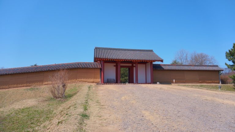
The south gate of the outer enclosure has been reconstructed from excavation results. A principal avenue has also been reconstructed, representing part of the planned movement through the fortified complex. Together, the gate and avenue provide physical evidence of the way the outer enclosure was organized, while the rest of the boundary survives chiefly through archaeological remains and traces within the modern landscape.
Central administrative compound
At the center of Nagamori lie the remains of a Heian-period administrative compound, or government headquarters, enclosed by a plank fence. Its arrangement and building techniques follow the formal conventions of offices belonging to the ritsuryo system, the centralized legal and administrative order modeled partly on institutions of continental East Asia. The compound was rebuilt four times, preserving evidence of repeated investment and alteration during the site’s use.
River channel and written finds
A river flowed through the outer enclosure while the complex was occupied. Its course was later altered, but part of the former channel has been reconstructed. This surviving section adds a water feature to the enclosure’s archaeological layout and preserves evidence of the landscape in which the settlement operated.
Wooden tablets and inscribed fragments recovered from the site provide evidence of written administration and connections with other frontier centers. One tablet gives a date in the second year of the Kasho era, while other wooden materials mention Isawa Castle and Shiwa Castle. An inscribed earthenware vessel bearing the words “official Ogachi” supports the interpretation that Hotta-no-saku may have been a relocated Ogachi Castle. These objects are exhibited at the nearby information center and the prefectural investigation office.