Ryōgūzan Kofun: A Major Keyhole-Shaped Burial Mound in Japan


Site at a Glance
- Rating
- 3.7
- Popularity
- Very Low
- Country
- Japan
- Primary era
- Classical
- External website
- Open
- Eras represented
- Classical
- Civilizations
- Yamato
- Site type
- Burial
- Remains
- Burial Mound
On this page8 sections
History
Ryōgūzan Kofun is a keyhole-shaped burial mound in Akaiwa, Japan, built during the latter half of the fifth century in the middle Kofun period. It is the principal tomb of the Ryōgūzan Kofun Cluster, also called the Nishi-Takatsuki Kofun Cluster, and is the largest kofun in the Bizen region and the third largest in Okayama Prefecture. With a mound length of about 200 meters, it is ranked 36th nationally.
Construction and political connections
The Kofun period, conventionally dated from the third to the sixth centuries, saw the construction of large burial mounds for chiefly and elite burials, alongside the emergence of powerful regional and central authorities. Ryōgūzan Kofun has a rectangular front and a rounded rear, a form known as keyhole-shaped. Its planned dimensions are approximately two-fifths those of Daisenryō Kofun in Sakai, Osaka, a massive mound traditionally identified as the tomb of Emperor Nintoku.
The tomb’s double-moat arrangement strongly reflects the Kinai style associated with the burial mounds of powerful rulers in the Kinai region, the historical heartland of early central Japanese political power around modern Nara and Osaka. Its scale and design have therefore been understood as evidence of the high status of the person buried there and of connections with the Yamato polity, the early Japanese political center associated with the consolidation of authority during the Kofun period.
Later chiefly tombs
The area around Ryōgūzan Kofun contains a sequence of later chiefly tombs. Moriyama Kofun is regarded as the tomb of a successor chiefly figure, followed by several mounds that became progressively smaller. One interpretation connects this reduction in size with the Kibi Rebellion described in the early eighth-century Chronicles of Japan under Emperor Yūryaku. Kibi was a historical region corresponding broadly to present-day Okayama Prefecture and surrounding areas. Another interpretation proposes that political changes prevented the completion of funerary ceremonies and the final installation of surface paving stones and clay figures.
Research and preservation
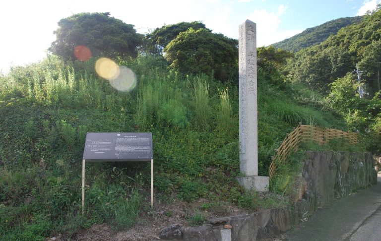
A map made in 1912 marked the mound, and Sueji Umehara reported it in an academic journal in 1924. Ryōgūzan Kofun became a National Historic Site on April 8, 1927. Protection was expanded in 1978 to include Wada Chausuyama Kofun and in 2006 to include the outer moat. Conservation repairs were carried out on the middle embankment in 2006 and 2007. Investigations linked to the recovery of a sluice pipe took place in 1980, while surveys between 2002 and 2004 identified the outer moat. Three further surveys were conducted from 2013 to 2015 during conservation work around the foot of the mound.
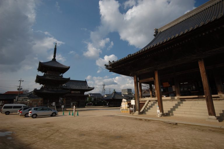
A shrine was established on the anterior part of the mound. In later periods, the ancient San’yō Road was laid near the kofun, and Bizen Kokubunji was established to its west.
Remains
Ryōgūzan Kofun occupies a fan-shaped slope at the southeastern foot of a mountain in southern Okayama Prefecture. Its principal axis follows the slope, and the rectangular anterior section points southeast toward lower ground. The mound is approximately 206 meters long and was built in three tiers. The anterior section is about 120 meters wide, while the circular posterior section measures about 100 meters across. Both parts rise to approximately 20 meters, and raised projections extend from either side where the two sections meet.
The principal mound and moats
Two moats surround the mound, creating a total length of approximately 349 meters along its main axis. The outer moat measures about 13 meters in width beside the posterior section and about 20 meters beside the anterior section. It now lies beneath the surrounding rice fields. The inner moat still contains water and serves as the agricultural reservoir called Ryōgū Pond.
The mound surface has produced no paving stones or clay figures. Paving stones, known as fukiishi, were placed over some burial mounds, while clay figures, or haniwa, were molded objects arranged on or around others. The burial facility itself has not been excavated, so its internal structure remains unknown.
Wada Chausuyama Kofun
Wada Chausuyama Kofun lies north of the posterior section and is regarded as an ancillary mound associated with Ryōgūzan Kofun. An ancillary mound, or baizuka, is a smaller burial mound constructed in association with a principal tomb. Wada Chausuyama was a scallop-shaped mound approximately 55 meters long, with an estimated posterior diameter of 41.5 meters. Its anterior section was about 15 meters long and 19.5 meters wide, and the mound appears to have been built in two tiers.
Only the rounded posterior part survives above ground, although excavation confirmed that an anterior section formerly existed. The mound had two moats, and part of its outer moat is considered to have been shared with Ryōgūzan Kofun. Its main axis was almost perpendicular to that of the principal tomb, and its anterior section faced west. Wada Chausuyama was planned in close relation to Ryōgūzan Kofun and shares its lack of detected paving stones and clay figures. Its construction is estimated to belong to the latter half or end of the fifth century.
Later surrounding tombs
Moriyama Kofun and the now-lost Shōmenhigashi Kofun were built in front of Ryōgūzan Kofun. Unlike the principal mound and Wada Chausuyama Kofun, these tombs had paving stones and clay figures. Clay figures were also found at the later tombs in the surrounding sequence, providing a physical distinction between these burial practices and those associated with the two earlier mounds.