Yuryev-Polsky Kremlin: A Medieval Fortified Center in Russia
Site at a Glance
- Popularity
- Medium
- Country
- Russia
- Primary era
- Medieval
- Eras represented
- Medieval, Early Modern, Modern
- Civilizations
- Russian
- Site type
- Military
- Remains
- Citadel
On this page11 sections
History
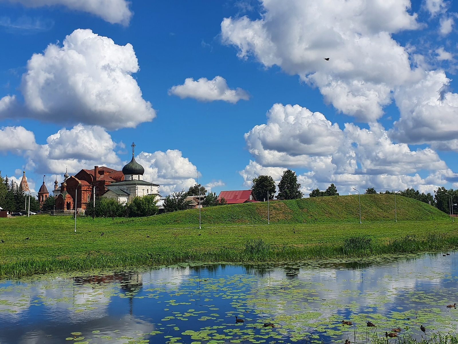
The Yuryev-Polsky Kremlin, the fortified center of a Russian town, lies on the low left bank of the Koloksha River near the mouth of the Gza River in Russia. Yuri Dolgoruky, prince of Suzdal, founded it in 1152 and gave the town its name.
Princely center and medieval attacks
In 1213, the Yuryev appanage principality was established. An appanage was a territory governed separately by a member of the ruling dynasty, and the Kremlin became the prince’s residence.
Batu Khan, the Mongol ruler who led the invasion of Rus, devastated Yuryev-Polsky in 1238. Golden Horde forces raided the town again in 1281, 1293, 1382, and 1408. These attacks were associated, respectively, with the military leaders Kavgady and Dyuden, the Horde khan Tokhtamysh, and the emir Edigu.
The Time of Troubles and the end of the defenses
In 1609, townspeople swore allegiance to False Dmitry II, a claimant to the Russian throne during the Time of Troubles, a period of political crisis and conflict in the early seventeenth century. The Kremlin’s wooden walls had fallen into poor repair, helping the tsar’s official Afanasy Lobanov-Rostovsky drive the claimant’s supporters from the town. Lobanov-Rostovsky then hastily built a new timber fortification.
Polish and Lithuanian forces devastated Yuryev-Polsky in 1612, and the new fortification burned. The town’s defenses were not rebuilt after the Time of Troubles. Its moats were filled during the second half of the nineteenth century. Archaeologists P. A. Rappoport and M. V. Sedova investigated the defensive works. The Kremlin is designated a federal-level cultural heritage site of the peoples of Russia.
Remains
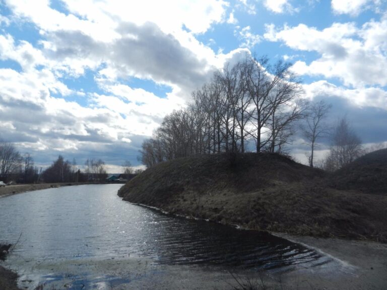
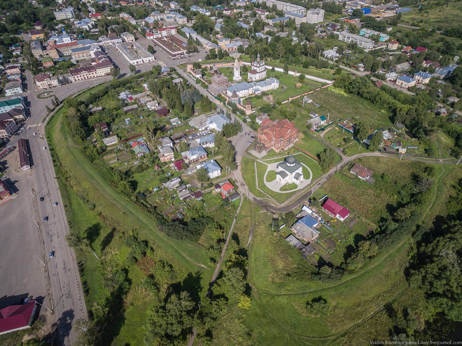
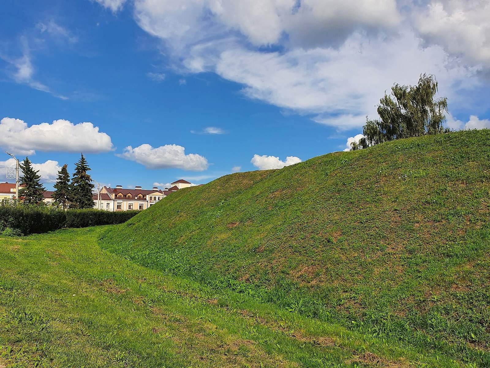
The Kremlin is arranged around an almost circular platform enclosed by an earthen rampart. Its position on low ground beside the rivers forms part of the site’s physical setting.
Fortifications and settlement
Rampart and gates
The platform measures about 340 by 280 metres and covers roughly 7 hectares. Its rampart extends for about 1 kilometre, rising 7 metres and measuring 12 metres across at its base. Built entirely of earth over the ancient ground surface, it enclosed the site. Three openings formed gates onto roads leading to Vladimir, Pereslavl-Zalessky, and Moscow.
Settlement outside the enclosure
A settlement stood beyond the fortress. During enemy attacks, its residents took shelter within the fortifications.
Religious buildings
St George’s Cathedral
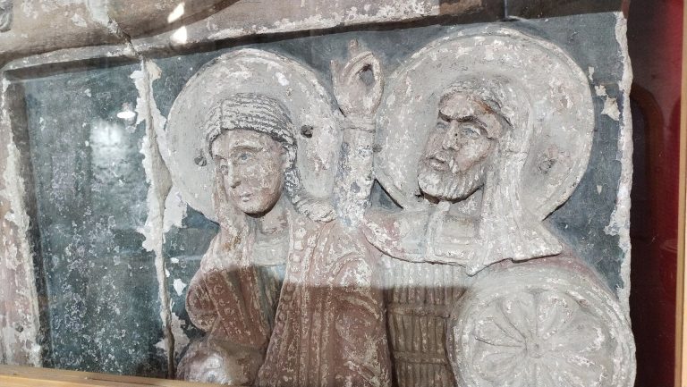
Prince Svyatoslav Vsevolodovich built St George’s Cathedral inside the Kremlin from white stone between 1230 and 1234. Named for Saint George, an early Christian martyr, the cathedral survives in a rebuilt form dating to the fifteenth century.
Monastery and Trinity Cathedral
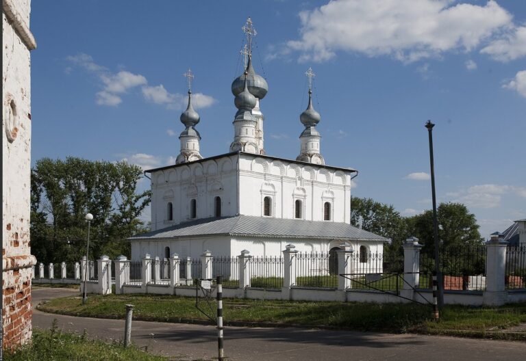
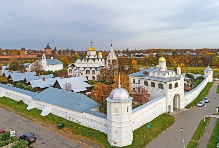
The Monastery of the Archangel Michael stands within the Kremlin. Michael is a high-ranking angel in Christian tradition, and the monastery has its own stone wall, built in the sixteenth century. Trinity Cathedral is also within the enclosure; its name refers to the Christian belief in one God in three persons.
Archaeological deposits
The archaeological cultural layer, accumulated soil and material left by human activity, is between 0.6 and 1.6 metres deep, with deposits dating from the mid-twelfth century onward. Objects from its lower layers include pottery fragments, slate spindle whorls, keys, and pieces of glass bracelets.