Vėlaičių Hillfort: An Early Fortified Settlement in Lithuania
Site at a Glance
- Rating
- 5
- Popularity
- Very Low
- Country
- Lithuania
- Primary era
- Medieval
- Eras represented
- Iron Age, Medieval
- Civilizations
- Unclassified
- Site type
- Military
- Remains
- Fort
On this page12 sections
History
Early settlement
Vėlaičių hillfort is an ancient fortified settlement site at Vėlaičiai, Lithuania, established in the second half of the first millennium BCE during the Early Iron Age, the first phase of the Iron Age, when iron tools and weapons came into use. A lightly fortified settlement stood on the promontory. It is the earliest known ancient settlement in the Kartenos area.
Castle and settlement, seventh to tenth centuries
From the seventh to tenth centuries, people lived in a settlement at the northern foot of the upland, beside the Alantas River. A wooden castle on the upland and an outer enclosure, a separately defended area linked to the main fortification, protected the settlement. An iron spearhead found on the enclosure’s southwestern slope points to fighting against enemies.
Abandonment and later investigation
The hillfort was abandoned around the tenth century. Surveys took place from 1958 to 1992, and the settlement at the foot was identified between 1975 and 1982. Excavations in 1996–1997 examined the hillfort and settlement. The site was designated an archaeological monument of republican significance in 1972, became a state-protected cultural monument in 2005, and was incorporated into Salantai Regional Park in 2006.
Remains
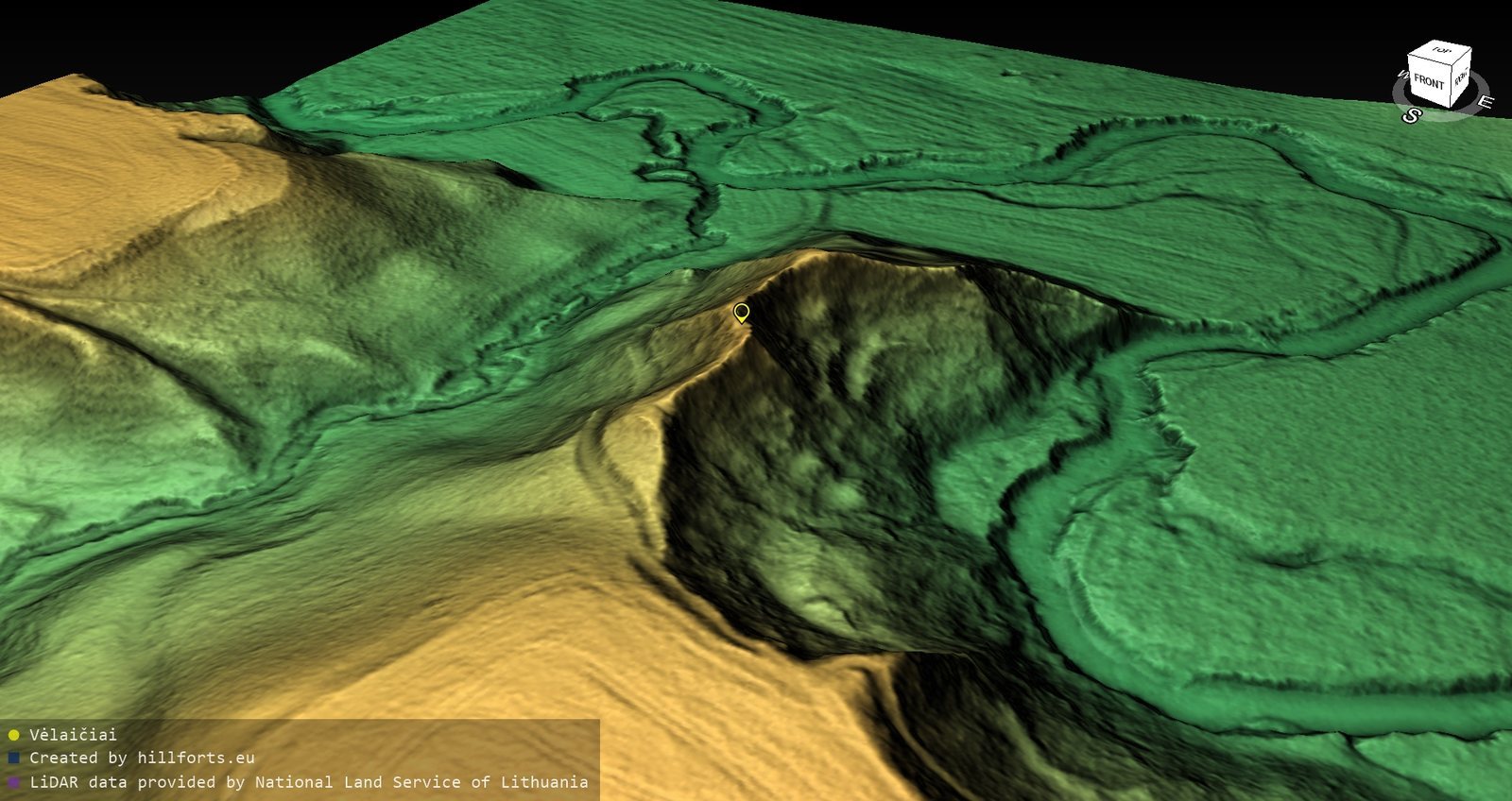
The 3.78-hectare complex lies where the Alantas and Tyrupalis rivers meet. It includes a hillfort on a high promontory and a settlement in the valley to its north. The defensive earthworks were made from sand strengthened with stones in a single building episode.
Hillfort and defenses
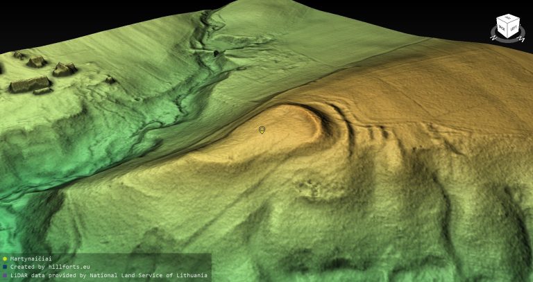
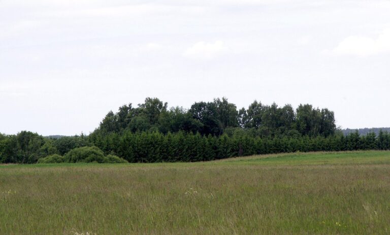
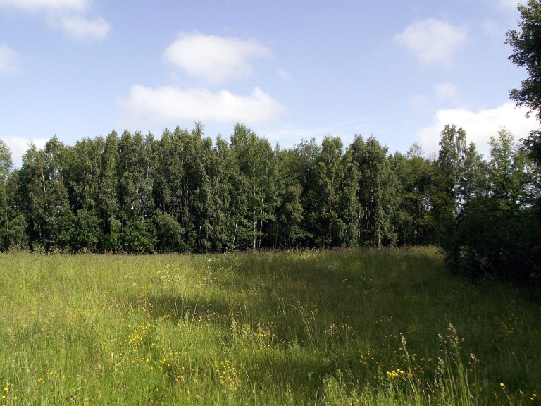
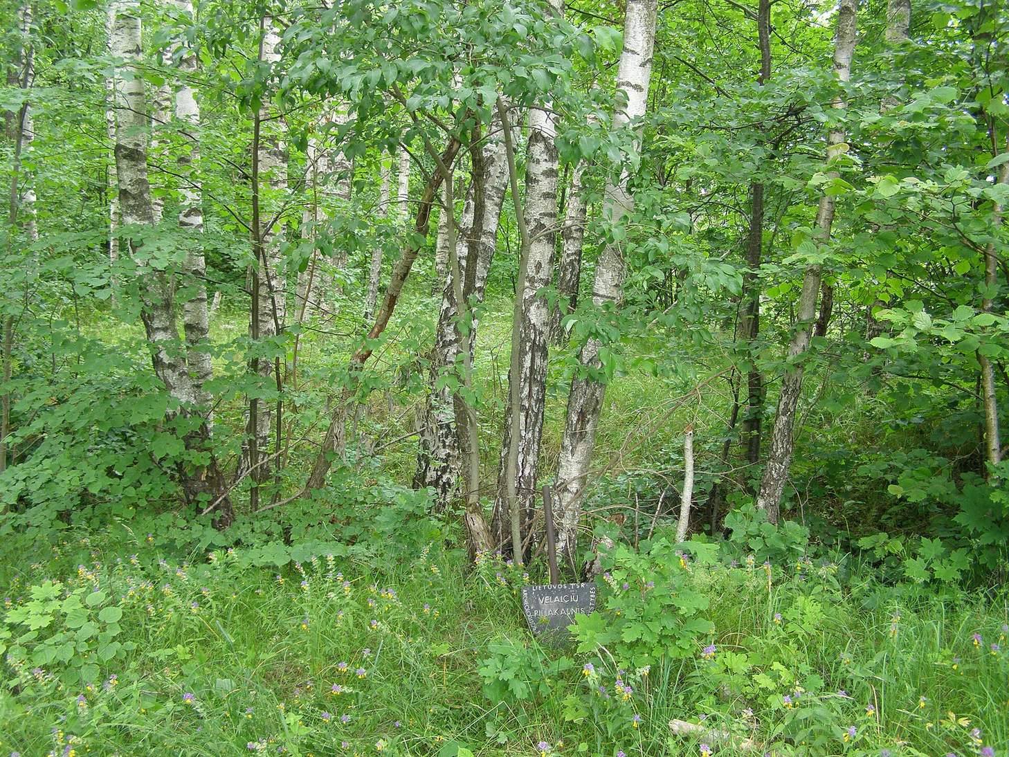
The hillfort occupied the Alantas’s left bank near the mouth of the Tyrupalis. Erosion by the river has removed nearly all of it. The western and southwestern parts of the platform and slope remain, now forested. The hillfort and outer enclosure have steep slopes 20–25 metres high; together with their defenses, they occupied a promontory about 90 metres long.
Platform and rampart
The platform was in the northern part of the hillfort and was oval, with its long axis running north–south. It measured about 40 metres in length. Only its western edge, 2–7.5 metres wide, and the western slope survive. Along the southern edge, a rampart, or raised earthen defensive bank, was built against the upland. It was 0.5 metres high and 7 metres wide, with slightly curved ends. Its outer slope descended 1.5 metres to the outer enclosure to the south.
Outer enclosure
The roughly square outer enclosure measured about 15 metres on each side. Its western portion, 2 metres wide, and the western slope are the surviving parts. A ditch cut into the southern slope of its platform was 4.5 metres wide and 1.5 metres deep. Beyond it stood a rampart 0.5 metres high and 4 metres wide; its outer slope, 2 metres high, joins the hillfort slope.
Settlement at the foot
The settlement occupies about 1 hectare of flat, fallow ground in the valley north of the hillfort. The Alantas borders it to the east, north, and northwest. In its western part, an embankment-like mound runs north–south between the hillfort and the river. It may be the raised bed of the former Vėlaičiai–Gaudučiai road.
Excavated evidence
Hillfort finds
Excavations covering 348 square metres at the hillfort uncovered a cultural layer, soil and material accumulated through human activity, up to 0.5 metres thick. Finds included stone paving, a posthole marking where a post once stood, pottery with brushed surfaces and plain pottery, and an iron socketed spearhead, whose hollow base held a spear shaft.
Settlement finds
At the foot settlement, excavators found a first-millennium cultural layer up to 40 centimetres thick, with hand-built pottery and clay daub.