Varahsha: An Ancient Sogdian City and Palace Center in Uzbekistan
Site at a Glance
- Popularity
- Medium
- Country
- Uzbekistan
- Primary era
- Medieval
- Eras represented
- Medieval
- Civilizations
- Abbasid, Sogdian
- Site type
- Settlement
- Remains
- City
On this page14 sections
History
Varahsha was an ancient city in Sogdia, a historical region of Central Asia, about 40 km northwest of Bukhara in present-day Uzbekistan. It became a major political and cultural center, a fortified outpost on Bukhara’s western frontier, and a commercial stop on the route to Khiva in Khorezm, part of the interconnected Silk Roads.
Settlement and regional importance
The city’s foundation date remains uncertain. Proposed dates range from the 4th or 3rd century BCE to the 2nd or 1st century BCE. By the 2nd century BCE, several fortified villages stood beside one another at the site. Cultural life flourished in the 2nd and 1st centuries BCE and again in the 1st and 2nd centuries CE, before declining during the 3rd and 4th centuries.
Varahsha revived in the 5th century and became a residence of the Bukhar Khudahs, rulers of the Bukhara oasis. Its strongest period of urban life came in the 8th to 10th centuries. The 10th-century historian Narshakhi called the city older than Bukhara and described it as once more important; he also gave Rajfandun as another name. Varahsha supported farming through twelve irrigation canals and had workshops in its outskirts. At nearby Yalpak Tepe, remains point to glassmaking. A large market took place roughly every two weeks, alongside a 20-day fair at the end of the year. The next day marked the farmers’ New Year and the start of their agricultural calendar, while the Zoroastrian New Year followed five days later.
The Bukhar Khudahs and the palace
Varahsha took part in resistance to the Arab conquests, the 7th- and 8th-century expansion of early Muslim rule into Central Asia. Major battles were fought below the city walls. It is uncertain whether the Bukhar Khudah court moved to Varahsha before these conquests or during them.
Narshakhi recounted that a palace at Varahsha had once been more than a thousand years old, had fallen into ruin, and was restored by Khunak Khudah. After it decayed again, Bunyat b. Toghshada rebuilt it following the Arab conquest and held court there until his death in the palace. The construction date of the excavated palace is uncertain. It was remodeled under Toghshada, with later phases associated with Qutaiba b. Toghshada, who ruled from 738 to 753, and Bunyat, who ruled from 753 to 782. Bunyat’s rebuilding introduced the palace’s earliest stucco decoration. He was killed for supporting Mukanna’s anti-Arab revolt in the 770s and 780s; the palace continued in use until the late 8th or early 9th century.
Paintings made during Toghshada’s reign have been interpreted as reflecting the Bukhar Khudahs’ effort to preserve local authority while accommodating Arab power and presenting themselves as converts to Islam, despite the continuing influence of Zoroastrian traditions. Soviet archaeologists understood the prominent images of local kings as an expression of political resilience under formal vassalage. Some scholars have also interpreted the paintings’ pre-Islamic religious imagery as evidence that Arab rulers tolerated local religious practice and a measure of autonomy. In the 10th century, the Samanid ruler Ismail Samani offered money and materials to turn the ruined palace into a congregational mosque. Narshakhi wrote that residents refused because their settlement had no need for one.
Decline and archaeological study
Reduced flow in the Zarafshan River restricted irrigation and contributed chiefly to Varahsha’s decline. Urban life had diminished by the 11th century and ended by the 12th. Mongol invasions around 1219–1221 later destroyed the ruins.
British archaeologists began investigating Varahsha in the 1820s, making it the first Sogdian archaeological site mentioned in European literature. Major excavations led by Vasily Afanasyevich Shishkin took place in 1937–1939 and 1947–1954. Further fieldwork followed in 1975–1979 and 1987–1990, while palace excavations ran from 1973 to 1991. Varahsha joined the tentative list for World Heritage recognition in 2008 and was inscribed in 2023 as part of the Silk Roads: Zarafshan-Karakum Corridor, under cultural criteria ii, iii, and v.
Remains
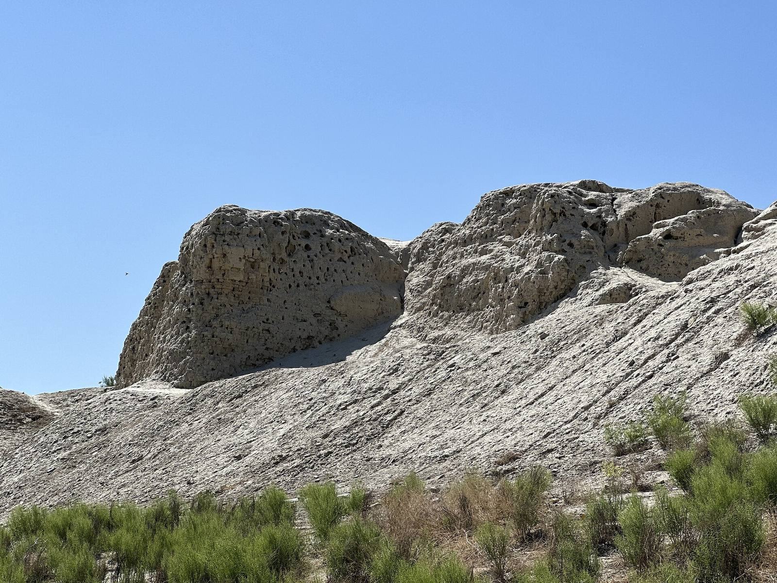
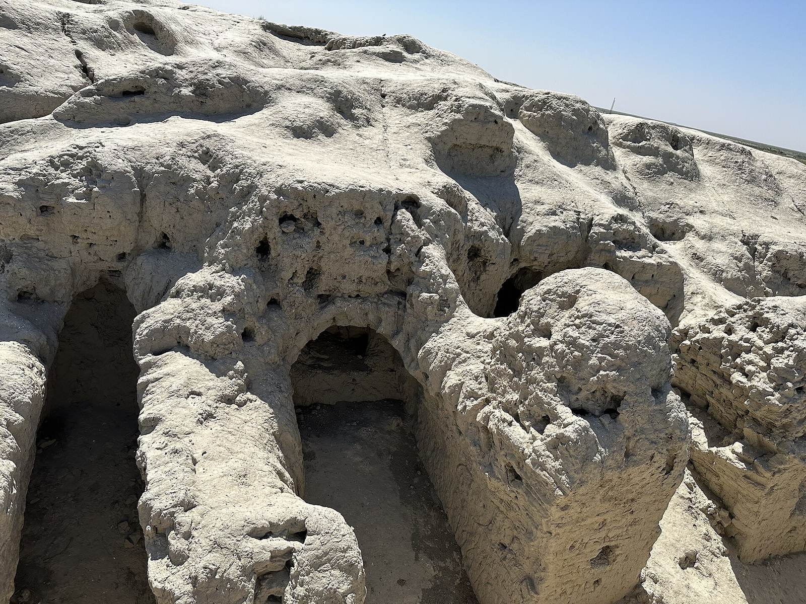
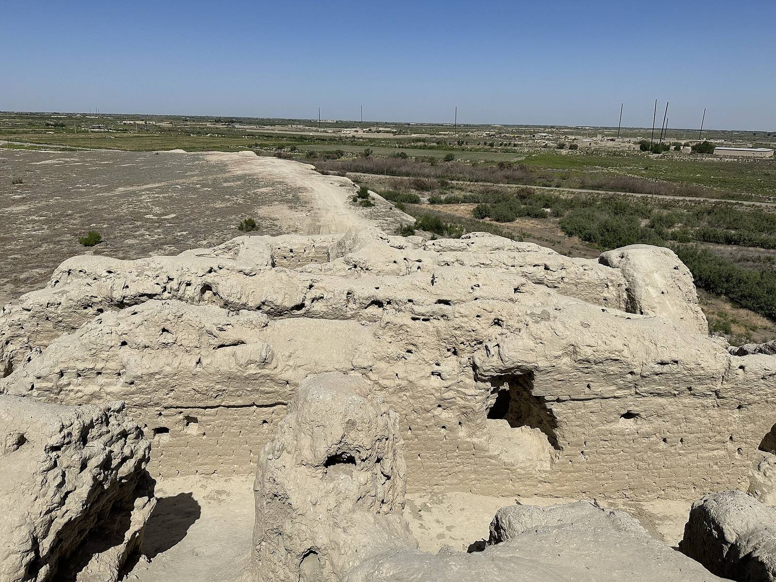
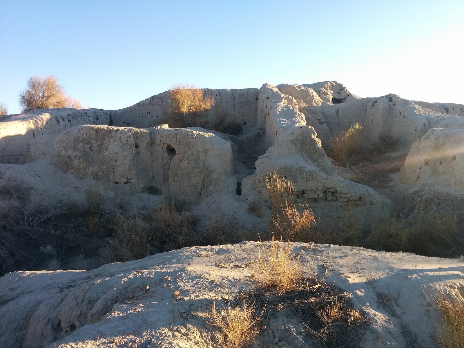
The settlement survives as a mound about 10–20 m high beside an ancient channel of the Zarafshan River. The archaeological area covers around 100 hectares, and the city extended more than 6 km across in the 11th and 12th centuries. Its roughly triangular enclosure contained an inner town, or shahristan, and a citadel in the east. The surviving remains include defensive walls and unfired-brick construction, as well as a palace complex within the citadel.
City defenses and fortified remains
Inner town and citadel
The perimeter wall enclosed both the inner town and the eastern citadel. The wall is described as about 10 m high around the inner town and about 20 m around the citadel. Strongpoints stood at intervals of roughly 30 m along the eastern wall. During some periods, a water-filled moat also surrounded the city.
Northwestern fort
Excavations in the northwestern ruins exposed part of an ancient fort’s outer wall and a tower measuring 4.5 by 5 m, with a semicircular space inside. The wall, 1.8–1.9 m thick, was built from unfired bricks measuring 37 by 41 by 10 cm. Its narrow openings for shooting arrows measured 20–22 cm across and widened toward the exterior, from 75–80 cm outside to 38–40 cm inside.
Palace architecture and decoration
Halls, platforms, and eastern rooms
The palace stood in the citadel near its southern defensive wall. Three ceremonial halls formed a row: the East Hall measured 11.5 by 17 m, the Red Hall 8.5 by 12 m, and the West Hall 6.6 by 7.25 m. Two raised platforms, each described as 15 m high, formed a twin-tower arrangement of large square unfired bricks. One supported the palace; the other carried a gatehouse with a guardroom. Long, vaulted rooms occupied the citadel’s eastern side and included a further guardroom and gatehouse.
Western veranda
A broad veranda ran along the palace’s western side. Three arches rested on columns carved from plaster, and raised plaster reliefs and geometric patterns decorated the arches and vaults.
Painted halls
The East and Red Halls had walls coated with fine mud mixed with straw, then covered by a thin layer of ganch, a gypsum-based plaster. Artists painted on the dry plaster in red, yellow, grey, black, blue, pink, and brown. Traces of murals also survive from the West Hall. The blue-background paintings in the East Hall and an early layer in the Red Hall probably date to about 719; later Red Hall scenes belong to a subsequent phase of Toghshada’s reign, which ended in 738.
The images include an enthroned king, royal receptions, hunts, riders and warriors, and figures fighting tigers and mythical beasts. Other scenes show Indian deities on elephants, kings praying in a Zoroastrian fire temple, and a Sogdian war god. The method of painting on dry plaster came to the region from India. A Red Hall mural is held by the Museum of Arts of Uzbekistan.
Carved plaster reliefs
Reliefs in gypsum-based plaster decorated rooms on the palace’s second floor. Their designs include fish, an injured argali, or wild sheep, a running gazelle, quails, a mythical bird with a woman’s head, a dragon, mounted riders, women’s heads, and plant and geometric forms. A hunter relief dated to the 5th–7th centuries and a high relief from the end of the 8th century are also associated with Varahsha. The hunter relief is held by the State Museum of History of Uzbekistan.
Other archaeological features
Remains of other monumental and religious buildings have been identified at Varahsha. The nearby mound of Yalpak Tepe contains remains of a glassmaking center, linking the city’s outskirts with its craft production.