The Site of Shimotsuke Provincial Government: An Ancient Japanese Provincial Capital
Site at a Glance
- Rating
- 3.6
- Popularity
- Very Low
- Country
- Japan
- Primary era
- Medieval
- External website
- Open
- Eras represented
- Medieval
- Civilizations
- Yamato
- Site type
- Civic
- Remains
- Palace
On this page8 sections
History
The Site of Shimotsuke Provincial Government in Japan, in present-day Tochigi City, preserves the ancient government complex of Shimotsuke Province. Developed under Japan’s centralized state system during the Nara and Heian periods, it served as the province’s kokufu, or regional government center, from the eighth century until shortly after the beginning of the tenth century.
Formation under the Ritsuryō system
The complex operated within the Ritsuryō system, an ancient form of centralized government based on legal and administrative codes. Each province was managed through a kokufu, where a centrally appointed governor and officials oversaw administration. Excavated wooden documents show that administrative activity at Shimotsuke had begun by around 729, during the Nara period, Japan’s eighth-century era of centralized state formation. The complex was not yet roofed with tiles at this stage.
Excavation surveys across the wider provincial-capital area began in 1976, and the government complex was confirmed in 1979. Its location corresponds to the provincial capital listed in the Wamyō Ruijushō of 935, the earliest surviving catalogue of provincial capitals and their locations.
Successive rebuilding and decline
The government complex passed through four major construction phases. The first belonged to the first half of the eighth century and was destroyed by fire around 780. A second complex was built during the latter half of the eighth century and burned around 791, early in the Enryaku era, a Japanese era name used from 782 to 806.
The third phase centered on the ninth century and was destroyed during that century. The fourth complex continued operating until shortly after the beginning of the tenth century, when it fell into ruin. The site lies within the precincts of Miyanobe Shrine in Tamura, on the eastern edge of present-day Tochigi City, in a countryside setting on the right bank of a river.
The provincial-capital area is estimated to have covered approximately 540 metres from east to west and 648 metres from north to south. The surrounding settlement is believed to have extended several hundred metres in every direction, although much of the wider area remains unexcavated. The site was designated a National Historic Site of Japan on 12 October 1982.
Remains
The central government compound occupied a square enclosure measuring one chō on each side, approximately 110 metres. A perimeter boundary surrounded the enclosure, which had gates on all four sides. The principal entrance stood on the south, opening toward a road that continued southward.
Central government compound
Front and side halls
The central arrangement comprised an east-west front hall, a main hall behind it, and long north-south side halls facing one another on the east and west. The front hall measured seven bays across its façade and two bays in depth, approximately 22 metres by 4.8 metres. A bay is the interval between two structural supports. The main hall has not been excavated.
The front hall was rebuilt through successive phases. The side halls began as post-in-ground buildings, in which upright timbers were set directly into the earth. Later rebuilding introduced tiled roofs, while the fourth phase used stone foundations. Buildings in the fourth phase were somewhat smaller than those of the preceding construction.
Southern entrance and administrative buildings
A principal road approximately nine metres wide extended south from the compound’s south gate. Groups of administrative buildings stood on the western side of this road within a walled enclosure. These offices formed part of the wider provincial administration, which governed activities including agriculture, finance, policing, and military affairs.
Excavated materials and presentation
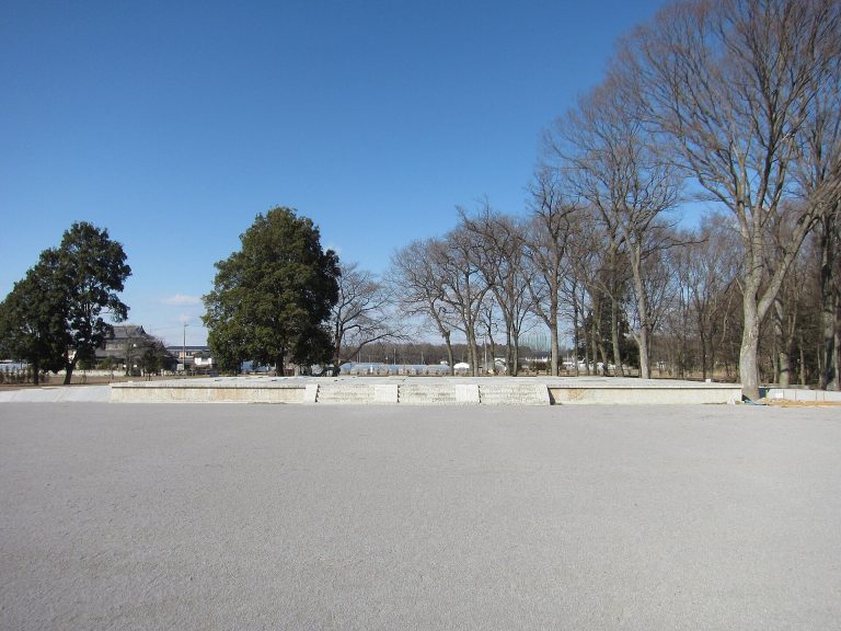
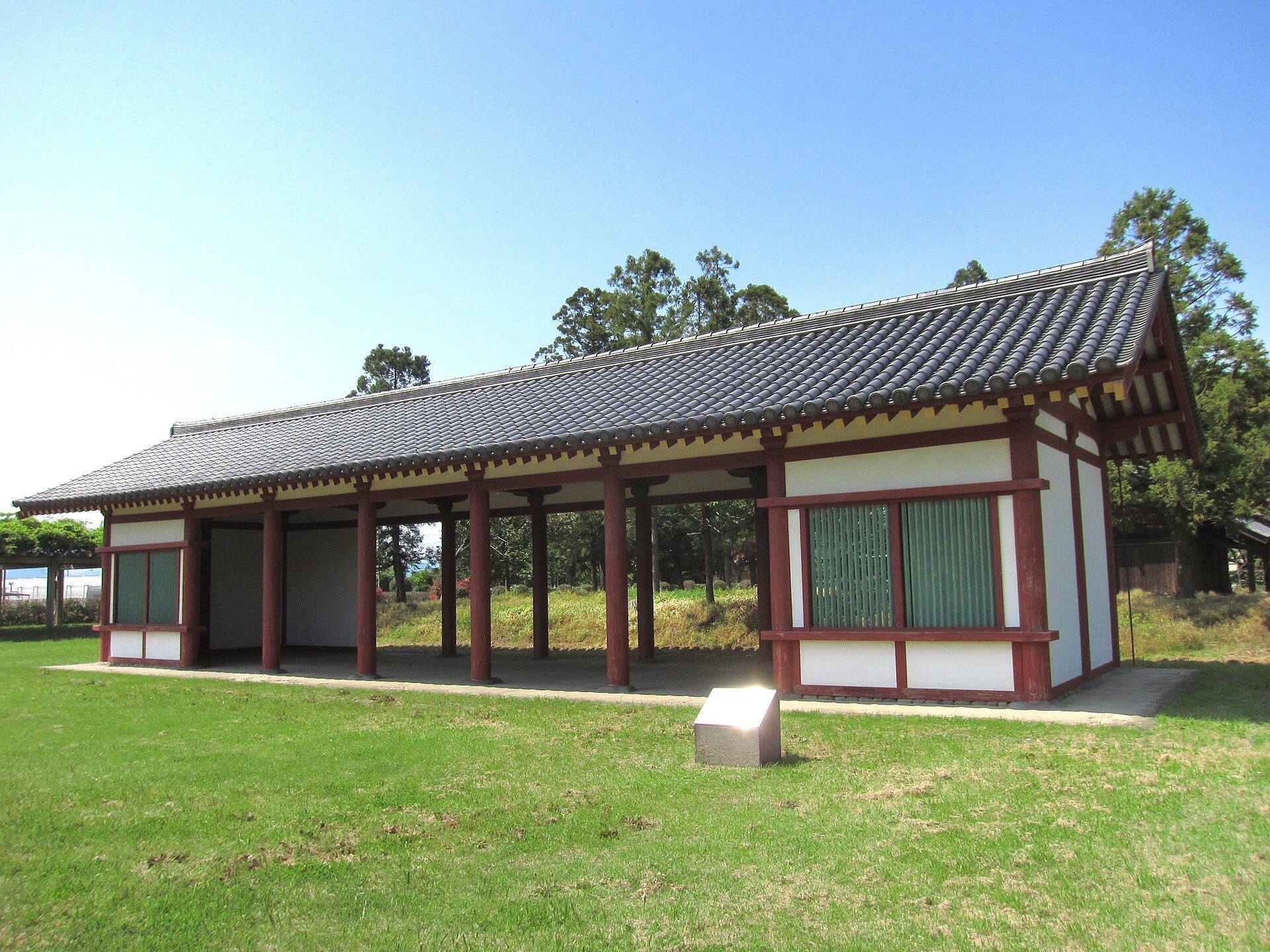
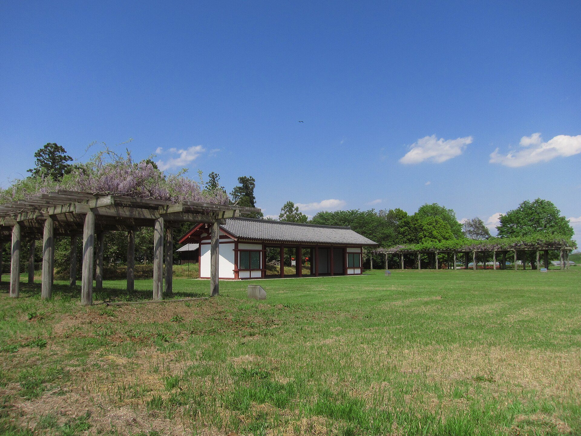
Foundation stones from various buildings remain well preserved. One building from the administrative complex has been reconstructed, and the ruins are presented as an archaeological park. Excavated material from inside and outside the central compound includes more than 100 lacquer-paper documents, paper coated with lacquer and often made from reused sheets, along with inscribed wooden blocks, lacquerware, and ceramic shards.
These finds help illuminate the administrative activity conducted at the provincial capital. They are exhibited at the on-site museum and at the Prefectural Museum in Utsunomiya.