Thamusida Archaeological Site: A Punic Port and Roman Military Settlement in Morocco
Site at a Glance
- Rating
- 3.5
- Popularity
- Very Low
- Country
- Morocco
- Primary era
- Classical
- Eras represented
- Iron Age, Classical, Medieval
- Civilizations
- Carthaginian, Kingdom of Mauretania, Roman
- Site type
- City
On this page23 sections
History
Thamusida Archaeological Site in Morocco preserves the remains of a settlement occupied from at least the late seventh century BC. It began as a Punic river port and Carthaginian trading post on the Sebou River, later developed under the Kingdom of Mauretania, and became an important Roman military and commercial center in Mauretania Tingitana, the Roman province covering much of northern Morocco and parts of the western Maghreb.
Punic and Mauretanian beginnings
Thamusida stood about 48 kilometers from Sala, the Roman Sala Colonia and modern Chellah. Its position on the Sebou connected the settlement with river traffic and wider Mediterranean commerce. Goods from Spain, especially Cádiz, and from Italy reached the site by water. Thamusida also issued its own bronze coins, while Punic inscriptions indicate the continuing presence of Carthaginian cultural and commercial traditions.
By the second century BC, a Berber settlement associated with the Kingdom of Mauretania had been established at a river ford, probably over an earlier settlement. This community occupied the site before Roman expansion and participated in the movement of imported goods along the river. Beneath later Roman streets, traces of destruction and burning preserve evidence of the transition from the earlier settlement to Roman control.
Roman occupation and expansion
Rome occupied Thamusida during the early years of Augustus, the first Roman emperor, who ruled from 27 BC to AD 14. The town was incorporated into Mauretania Tingitana. The earlier Berber village was destroyed during the takeover, and a military camp with a small associated civilian settlement developed afterward.
During the reign of Claudius, from AD 41 to 54, Thamusida expanded as a Roman unloading point and supply center. Numerous amphora remains indicate the movement of food, wine, olive oil, building materials, and other commodities. Under the Flavian dynasty, which ruled Rome from AD 69 to 96, a garrison remained at the site while the settlement grew to include temples, baths, houses, workshops, and other productive activities.
The military camp was probably constructed in the second half of the first century AD by the Cohors secunda Syrorum civium Romanorum, a Roman auxiliary infantry unit associated by its title with Syrian troops and Roman citizenship. This attribution remains provisional. Together with its civilian settlement, the camp covered about two hectares and ranked among the largest military installations in Mauretania Tingitana. The wider settlement occupied about 15 hectares.
Under Trajan or Hadrian, Roman emperors of the early second century, the town received a more formally organized street plan laid out at right angles. Commercial and industrial activity continued to expand, and Thamusida became an important military settlement populated partly by Roman veterans. During the Antonine period, a second-century phase associated with emperors such as Trajan, Hadrian, and Marcus Aurelius, a temple dedicated to Venus was built.
Fortification and late Roman change
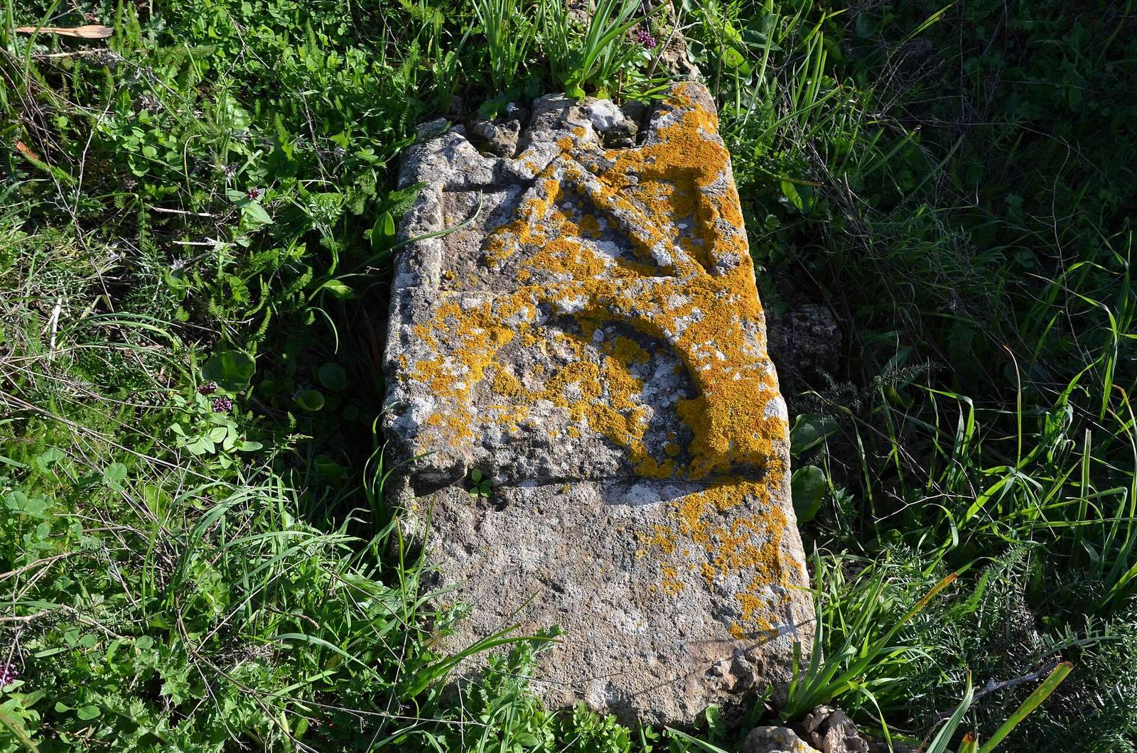
During the reign of Marcus Aurelius, from AD 161 to 180, Thamusida received an imposing fortress intended to protect the civilian population. Under Commodus or Septimius Severus, the town itself was enclosed by defensive walls. The construction reused funerary stelae and destroyed part of the House of Pavement, suggesting concern about a threat nearby or farther away.
By the third century, Thamusida was predominantly Christian and had a population of nearly 7,000. The river baths remained active, and the quantity of ceramic material points to continuing activity. Roman military occupation ended around AD 274 to 285, possibly following the withdrawal of the army or another later event. The town was not immediately deserted. Scattered finds and surviving walls indicate limited occupation for roughly another century.
Vandal incursions later contributed to the disappearance of the urban settlement, which occurred around AD 425. Islamic occupation began in the seventh century during the Arab conquests and continued intermittently into the medieval period. Local production of Islamic ceramics and bricks shows that activity returned to the site after the end of the Roman town.
Reuse and archaeological investigation
Building materials from Thamusida were reused in the seventeenth century to construct the fortress of Mehdya at the mouth of the Sebou. The ruins were reportedly damaged further by an earthquake in the following century. Charles-Joseph Tissot, a diplomat and archaeologist, identified the remains in 1874 with the ancient city known from historical sources.
French archaeological campaigns took place between 1932 and 1935, 1952 and 1955, and 1959 and 1962. A later Italian-Moroccan project involving the University of Siena and the National Institute of Archaeological and Heritage Sciences in Rabat carried out more extensive excavations from 1999 to 2006. Restoration of ancient buildings began in 1959 and continued intermittently. Excavation and analysis have examined Roman and Islamic occupation, food production, local and imported building materials, architecture, trade, and artistic practices. Finds from Thamusida are exhibited at the Archaeological Museum of Rabat, and the site is associated with Sidi Ali ben Ahmed in Oulad Slama, in Kénitra Province.
Remains
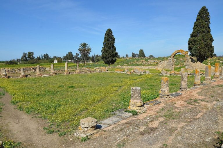
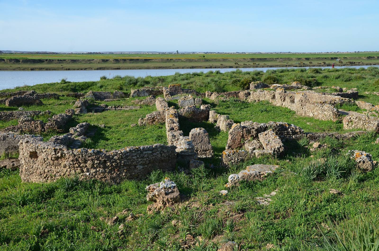
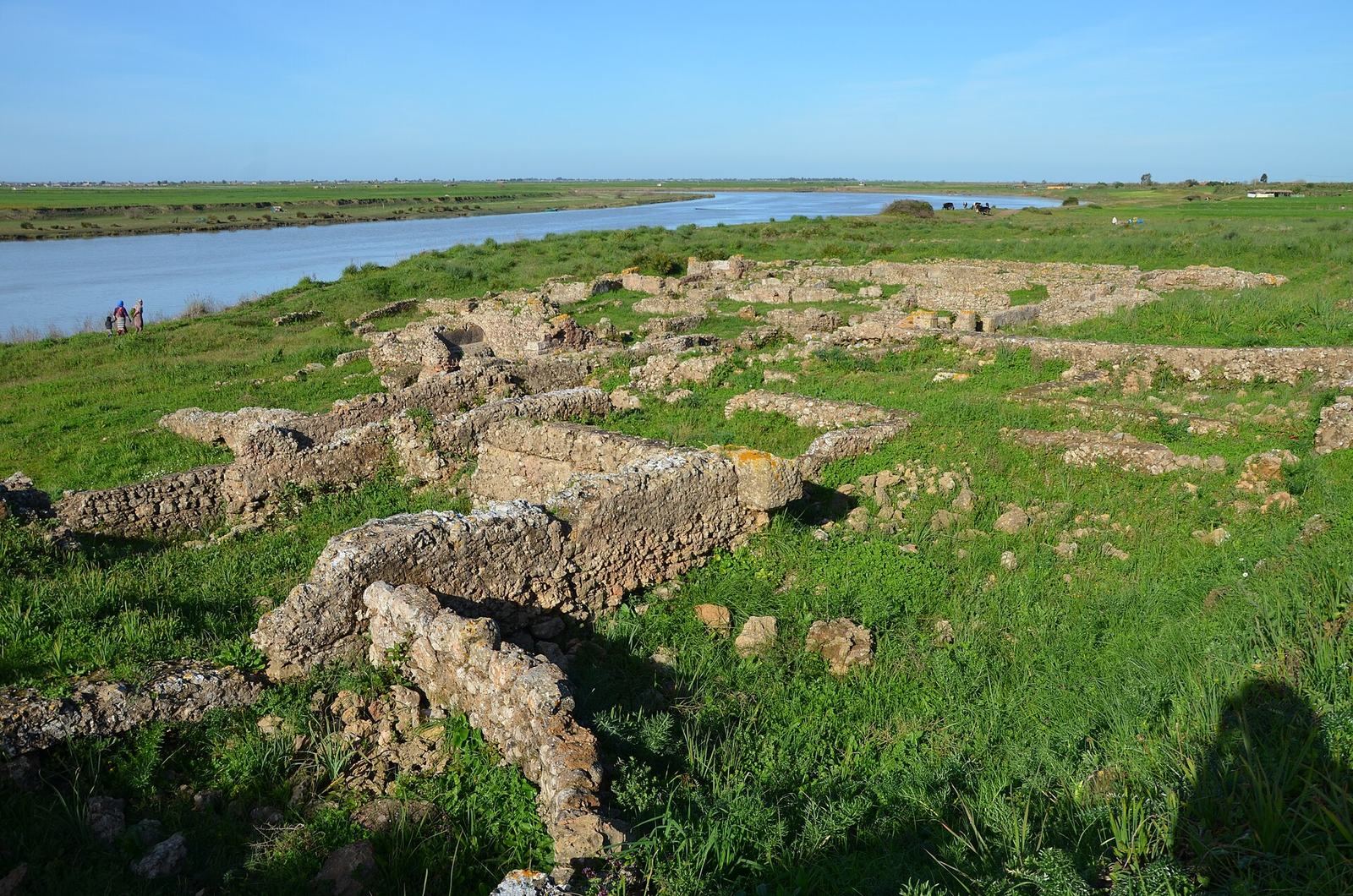
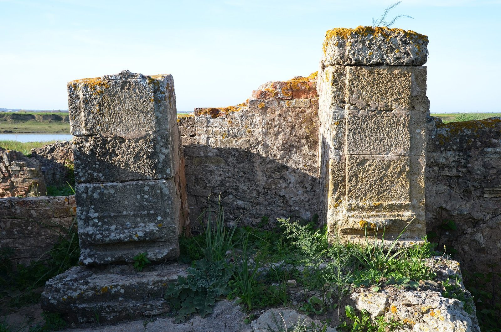
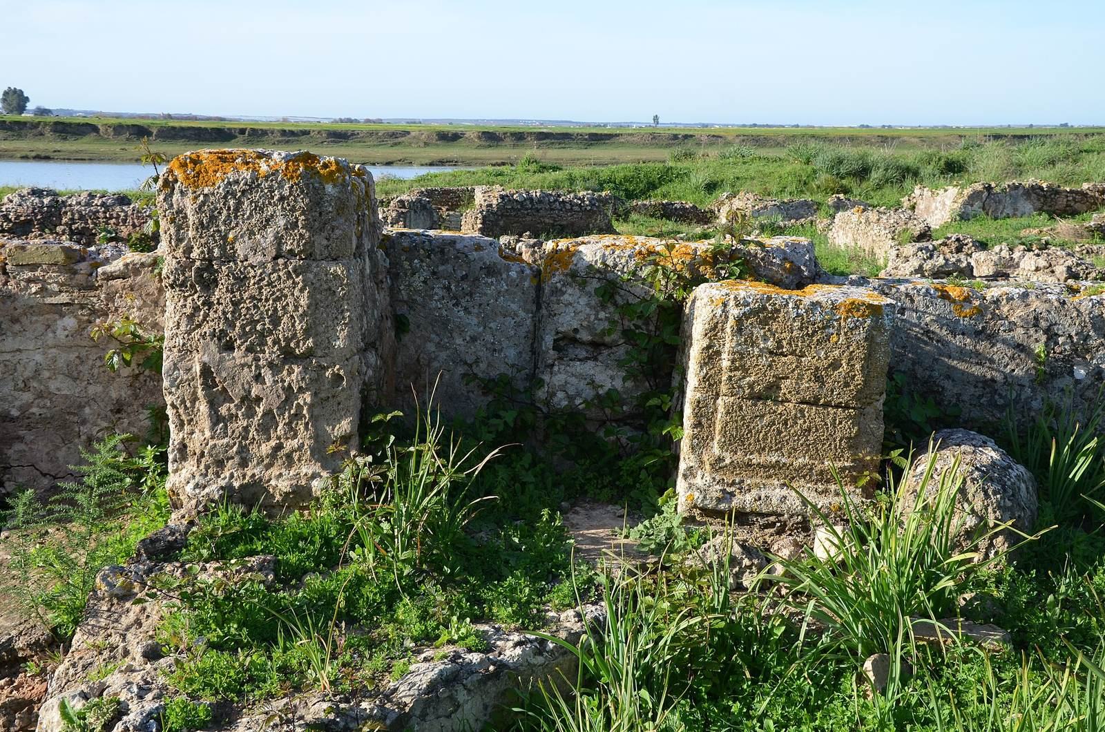
Thamusida occupied an elevated plateau about 12 meters above the left bank of the Sebou River, between Sala Colonia to the south and Iulia Valentia Banasa to the north. It lay along the route linking Tingis, modern Tangier, with Sala Colonia. The surviving remains include a river landing area, an earlier settlement beneath Roman streets, a military camp on the slope above the plateau, the Roman town, defensive walls, houses, temples, baths, storage buildings, workshops, and areas outside the walls.
Early settlement and production areas
Berber settlement
The earlier Berber settlement lay beneath the later Roman streets. Traces of burning and destruction mark its transition during the Roman takeover. Part of its surrounding wall was later incorporated into the wall of a Roman building, preserving a physical connection between the pre-Roman settlement and the town that replaced it.
Pottery kilns
Five pottery kilns stood in the northwestern area. They produced amphorae for the trade in garum, a fermented fish sauce widely distributed throughout the Roman Mediterranean. The kilns operated from the end of the first century BC to the first half of the first century AD. The Roman town later reused them as refuse pits or lime kilns.
Military installations
Military camp
The military camp occupied the slope above the plateau and measured approximately 165.85 by 138.78 meters. A surrounding wall contained 14 square internal towers and four gates, each flanked by two projecting square towers. Inside, two roads crossed at right angles and organized the buildings of the garrison.
Headquarters
At the center of the camp stood the principia, the headquarters complex. It consisted of a colonnaded courtyard with rooms on three sides. In its western central room, a 1.2-meter-high podium measured 10 by 7 meters. Steps led to the podium, which probably supported the shrine for the military standards. The shrine took the form of an aedicule, a small shrine-like structure, with two half-columns and two pilasters. Built during the Flavian period, it was remodeled under Marcus Aurelius.
During the Severan period, when the Severan dynasty ruled in the late second and early third centuries, the northern side of the headquarters was altered by the construction of a basilica exercitatoria, an indoor hall for military exercises. About a dozen accommodation blocks contained uncovered central passages lined with sleeping rooms, with roofs supported on pillars at the front. The western sector held probable stables and service rooms, including a bread oven.
Military granary
The military granary measured about 10 by 45 meters. Built during the Flavian period, it had a raised wooden floor and a ventilated space beneath it, reached through openings. The floor was renewed in the first half of the second century, when the underfloor area was lowered to maintain the storage system.
Baths, temples, and storage
River Baths
The River Baths originated in the early Roman settlement and passed through construction phases in the Flavian, Severan, early third-century, and later third-century periods. They eventually covered about 3,000 square meters, making them the largest known bath complex in the province. The baths consisted of two adjoining complexes that may have served men and women separately.
Temple with Rusticated Blocks
The first Roman settlement included the Temple with Rusticated Blocks, interpreted as a three-celled temple. Only the front of its podium, built with rusticated blocks, survives.
Square Temple
In the southeastern quarter, the Square Temple was built over an earlier extra-urban temple belonging to the Berber settlement. This Punic-type sanctuary had a square cella, the enclosed central chamber of a temple, on a low podium. Two statue bases and an altar stood within the complex. A stairway between ornamental columns led to the altar, while a portico surrounded the cella.
The sanctuary was probably dedicated to Venus Caelestis, understood here as the successor of the Punic goddess Tanit, and to her consort Saturn, associated with the Punic god Baal Hammon.
Riverside temple
A third temple stood beside the river. It followed an African sanctuary type, with a central chamber and a portico at the front. The building probably began as a single-chamber structure at the end of the first century AD. Around the middle of the second century, it was transformed into three adjoining chambers, at about the time the Temple with Rusticated Blocks disappeared.
Riverside granary
A large riverside horreum, a Roman storage building for grain or other supplies, was built during the second half of the second century. Slightly trapezoidal in plan, it measured 40.9 meters along the east side, 39.3 meters along the west, and 23.15 meters along both the north and south sides. Its only entrance opened on the northern side toward the river.
Inside, pillars and arches divided the building into three aisles. A raised wooden platform formed the floor, allowing stored goods to remain above the ground.
Housing and town defenses
House of Pavement
The House of Pavement stood in the eastern quarter against the town wall. Its entrance led to a corridor serving four shops and a vestibule that opened into a peristyle, a courtyard surrounded by columns. The peristyle contained brick columns and a fountain. Rooms opened around it, including a formal reception room, or tablinum, at the rear, flanked by the owners’ apartments.
Other houses followed a central-corridor arrangement, with three rooms on either side and a smaller passage leading to additional rooms. These plans probably separated reception spaces from private quarters. Simpler suburban houses had stone foundations and earthen walls, usually with one or two rooms and sometimes a courtyard containing small subsidiary spaces such as feeding troughs or storage rooms.
Town wall and gates
The town wall probably dates to the second century and is associated with the period of Commodus. It followed an irregular trapezoidal plan with external semicircular towers. The wall was oriented toward the cardinal directions, and its northern side ran along the river. Earlier buildings were incorporated into its eastern side.
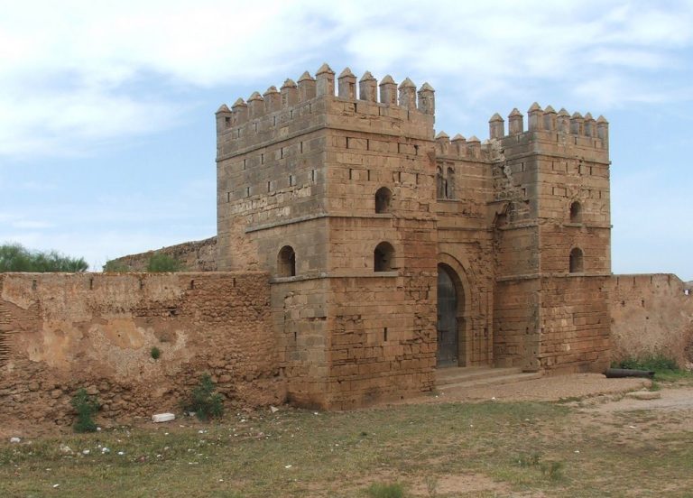
Three principal gates opened to the south, east, and west. Additional posterns served the eastern side and probably the northwestern corner and a southern road. A northern access toward the port may also have stood near the riverside granary. The monumental eastern gate had two passageways, one large and one narrower for pedestrians. A large internal arch closed the space between the towers and created an inner court.
Outside the walls lay scattered houses, productive installations, and commercial structures. A necropolis probably occupied ground east of the town.
Crafts, materials, and daily provisions
Roman and Islamic pottery-production facilities have been identified at Thamusida. Roman vessels include bottles, a jug of Claudian to Flavian date, and a stewpot from the middle of the second century. Some ceramics were made at Thamusida or nearby, while others were imported. An Islamic workshop just beyond the town walls contained at least four kilns dating from the late eighth or early ninth century. Its bricks were made from local clay and generally had a fine texture, low porosity, and mineral compositions dominated by quartz and calcite.
Forty Roman-period bricks from the settlement were examined, many bearing makers’ stamps. Mineralogical analysis indicates that some were locally produced and others imported. Bricks marked “C∞” and “HADRIAVG” probably came from the Tangier area. “QAP” bricks found at Thamusida and in nearby territory point to distribution along the river.
Painted plaster, mostly fresco, decorated public, private, and religious buildings. Designs included colorful geometric patterns, marble imitations, and solid-color surfaces. The plaster generally had three layers: a coarse base, a middle layer, and a thin smooth surface that received the pigment. Local sands and clays supplied the materials, which were prepared with progressively finer grains.
The identified pigments included cinnabar and red ochre, yellow ochre, Egyptian blue, celadonite or glauconite for green, carbon black made from carbonized plants, and calcite for white. Cinnabar appeared in earlier structures but not later ones, and some early buildings used it over red ochre. Glass window panes, waste glass, and vessels in green, blue, grayish, yellow, and colorless tones were also found. Strongly twisted but unburned waste glass indicates deliberate modification of existing glass, although it does not establish where the original glass was made.
Charcoal analysis identified 23 plant types. Cork oak was the most abundant and was probably used for construction, fuel, and livestock feed throughout the occupation. Pine remains suggest that at least some wood was imported, since pine did not grow in the surrounding area.
Fruits and seeds represented 26 plant types, including 14 cultivable species. Cereals, especially barley and wheat, predominated, together with legumes and some fruit plants. Barley appears to have been the principal grain consumed, while naked wheat was especially common in the military area. Grapes and olive trees were probably cultivated at Thamusida. The limited olive remains suggest reliance on imported olive oil, while grapes were likely eaten fresh and most wine was imported.