Tel Hadid: An Ancient Settlement Mound in Israel
Site at a Glance
- Popularity
- High
- Country
- Israel
- Primary era
- Medieval
- Eras represented
- Bronze Age, Iron Age, Classical, Medieval
- Civilizations
- Assyrian, Byzantine, Israelite, Roman
- Site type
- Settlement
- Remains
- Town
On this page22 sections
History
Tel Hadid is an archaeological settlement mound in Israel, identified with the ancient town of Hadid. The earliest evidence of human activity dates to the Intermediate Bronze Age, an archaeological period in the southern Levant.
Names and early settlement
The name Hadid appears in the biblical books of Ezra and Nehemiah. Greek forms include Adida and Aditha, while the Arabic name al-Haditha means “the new.” Early Christian writer Eusebius identified the site with Adithaim, a place named in the Book of Joshua. The late-antique Madaba Map, a mosaic map of the Holy Land, repeated that identification. Adithaim is thought to have lain in the Judean Shephelah, the low foothill region between the highlands and coastal plain, probably near the Valley of Elah. Similarity between the names may have led to the mistaken association.
In 1322, the Jewish scholar Ishtori Haparchi identified the village of Haditha, on a rounded hill about two hours from Lydda, as biblical Hadid. Later scholarship accepted this identification. After a long gap in evidence for settlement through much of the second millennium BCE, activity is indicated again in the Late Bronze Age.
Iron Age and Persian-period Hadid
Settlement is clearly evident in Iron Age II. Hadid reached a high point under the Kingdom of Israel in the eighth century BCE and remained active under Assyrian rule in the seventh century BCE. The Assyrian Empire conquered the northern kingdom and resettled people across its territories; after Israel fell, people from elsewhere were brought to Hadid. It has been proposed that foreign settlers were later expelled during the reign of Judah’s King Josiah, restoring the town’s character as a settlement of Judah.
Hadid’s inhabitants were subsequently deported to Babylonia in the Babylonian exile, the forced removal of Judeans to that region. Biblical references have been interpreted to indicate that some returned after the exile. Hadid appears among the towns settled by returnees, placing it in the record of the Persian period, under Achaemenid Persian rule.
Hellenistic and Roman fortification
During the Hellenistic period, which followed Alexander’s conquests and saw the rise of Greek-influenced kingdoms, the region passed from Seleucid rule to that of the Hasmoneans. The Seleucids were a dynasty ruling parts of Alexander’s former empire; the Jewish Hasmonean dynasty established independence from Seleucid power. According to 1 Maccabees, Hasmonean ruler Simon Thassi fortified Hadid during his conflict with Diodotus Tryphon, a contender for control of the Seleucid kingdom. Their forces fought in the valley below the site.
Hadid retained strategic value under Roman rule. The Jewish historian Josephus relates that Roman general Vespasian chose to fortify it while closing routes toward Jerusalem during the Roman suppression of the Jewish revolt. A rabbinic tradition also includes Hadid among the towns fortified in the time of Joshua.
Byzantine and early Islamic periods
In the Byzantine period, the era of the Eastern Roman Empire in the region, Aditha belonged to the rural hinterland of Diospolis, the Greek name for Lod, within the province of Palaestina Prima. Population growth and economic prosperity accompanied the spread of Christianity. The settlement appears to have continued after the Muslim conquest of the Levant, but was probably abandoned around 705 CE as Lod declined and Ramla rose.
Al-Haditha and the modern settlement
Al-Haditha remained an Arab village on the site during Ottoman and British Mandate rule. Its population was about 750 in 1944. On July 12, 1948, Israeli forces captured the village during Operation Danny, an Israeli campaign in the 1948 Arab-Israeli War, following the conquest of Lydda and Ramle. The village was destroyed and its residents displaced.
A communal settlement called Hadid was established on the village lands in 1949 but soon dissolved. The nearby cooperative agricultural community of Hadid was founded in 1950 by immigrants from Yemen; immigrants from Romania and Poland joined later.
Excavation and infrastructure
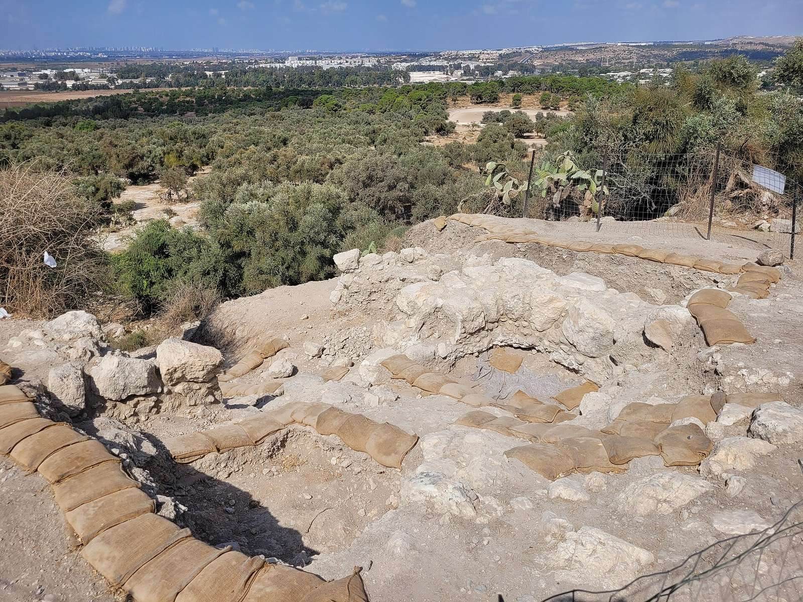
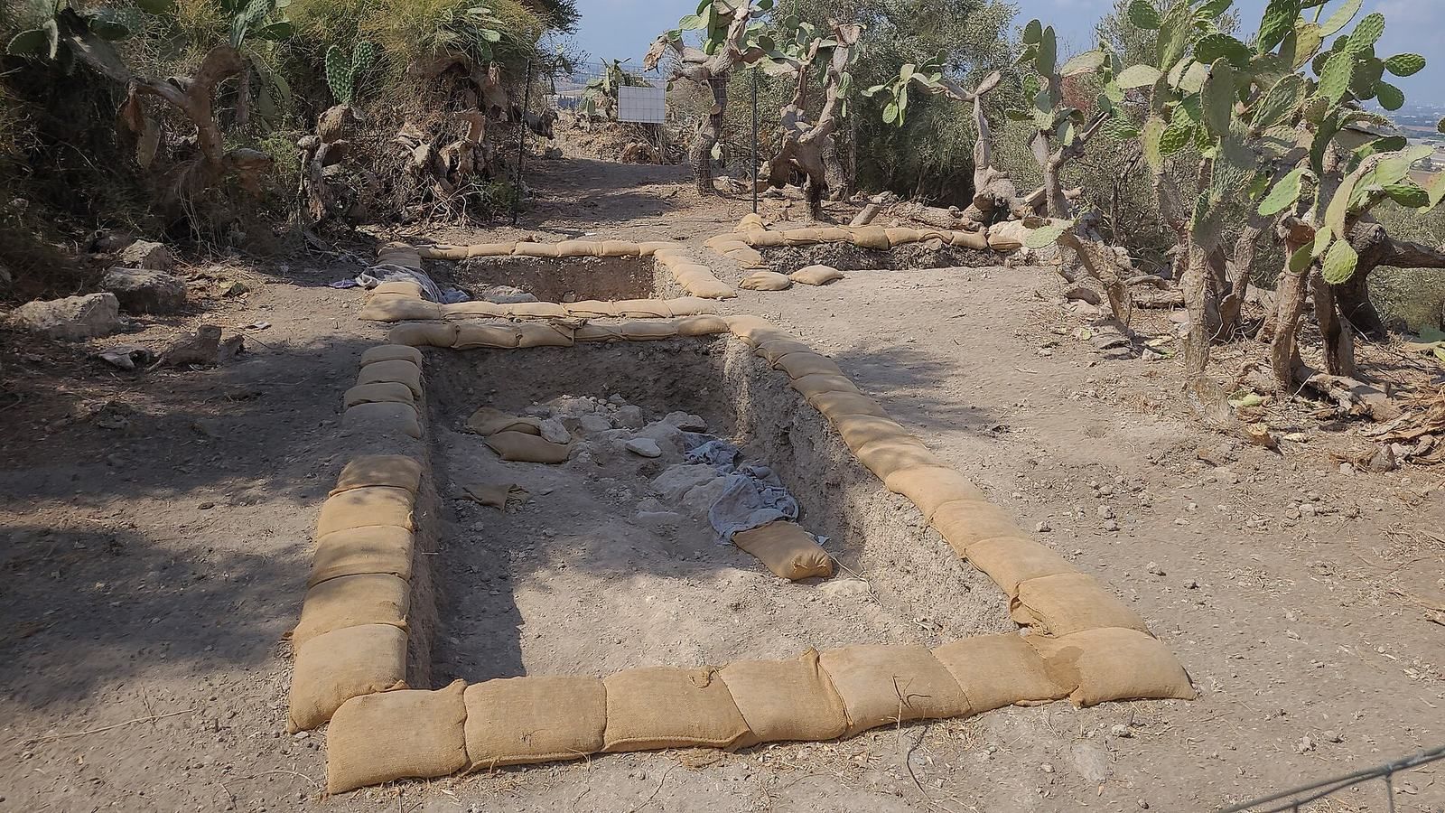
Tel Aviv University carried out a major salvage excavation in 1995–1997. Further excavations associated with the Israel Antiquities Authority and Tel Aviv University took place between 1998 and 2009, including work on the mound’s southern edge in January 2008 along a planned infrastructure corridor. A new research project involving Tel Aviv University and the New Orleans Baptist Theological Seminary began in 2018.
Highway 6 was initially planned to cross the site in a deep open cut that would have destroyed archaeological remains. After an environmental campaign, the route was redirected through tunnels beneath the mound. Construction ran from October 2000 to June 2001, and roadworks damaged the mound’s edges near the tunnel entrances.
Remains
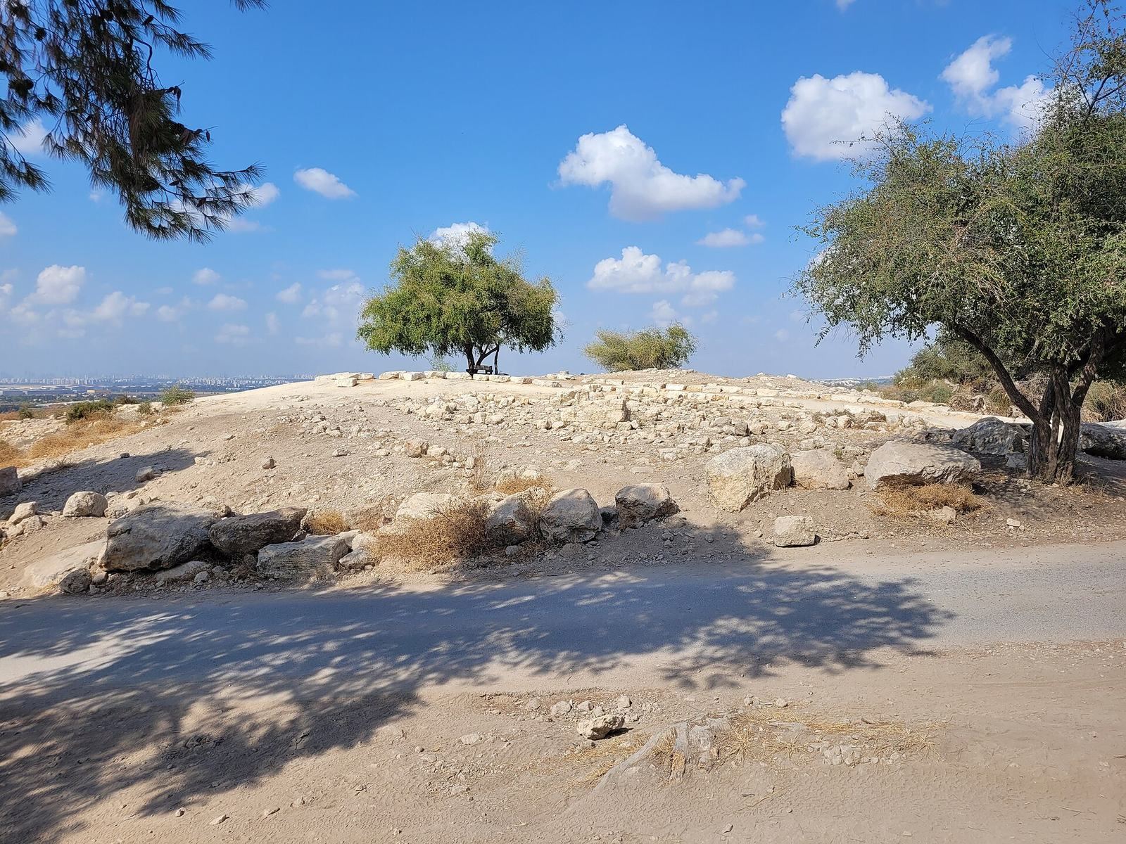
The mound covers about 200 dunams, with each dunam measuring 1,000 square metres, and rises to 147 metres above sea level. South of Nahal Natuf, a tributary of Nahal Ayalon, it stands on the first line of hills above the coastal plain and overlooks the central coastal plain, the Lydda Valley, and the Tel Aviv metropolitan area. The mound lies within Ben Shemen Forest, separated from its main area by Road 443. Chalk bedrock beneath a hard limestone crust has produced natural caves and fallen debris; natural and human-made caves and underground spaces occur across the site.
Landscape and surface features
Olive groves, cultivated by al-Haditha’s residents, cover much of the mound, including its western side. Pine trees planted by the Jewish National Fund occupy higher and southern areas. Visible remains include buildings, agricultural installations, and the village cemetery.
Early agricultural and funerary evidence
Grain silo and pottery
North of the mound, broken pottery and an elliptical grain silo indicate agricultural activity. The silo is among the early physical traces of human use of the site.
Cistern burials
A cistern dating to the twelfth century BCE contained pottery vessels and the skeletal remains of at least 20 people, including males and females from infants to adults over 50. The pottery includes bowls, kraters used for mixing wine and water, cooking pots, jugs, and lamps. Most follow local Canaanite traditions associated with grave goods, while one vessel is in a Cypriot style. Later residents probably discarded the objects in the cistern while clearing an existing cemetery.
Ritual refuse pit
A refuse pit associated with ritual activity dates to about the ninth century BCE. Its contents included pottery vessels, chalices, clay figurines, and a Judahite pillar figurine, a clay figure with a pillar-like form associated with Judah.
Iron Age homes and documents
Domestic quarter and presses
On the lower hill north of the mound, excavations exposed a group of domestic units, including two well-preserved structures dated to the late eighth and seventh centuries BCE. The area also contained 28 olive presses and several winepresses, evidence of agricultural production in the settlement.
Cuneiform tablets
Two well-preserved clay tablets were found inside the domestic structures. They use cuneiform, a writing system formed from wedge-shaped marks, and are written in Assyrian. One records a land sale in autumn 698 BCE, in which a migrant purchased land; the other records a loan in spring 664 BCE. Names in the documents include Mesopotamian, Aramean, and local forms.
Hellenistic fortifications
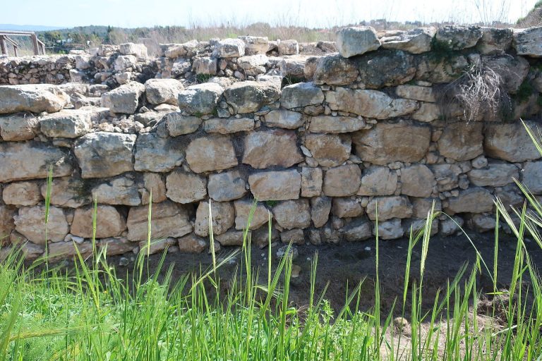
The upper mound has an earthen platform and fortification walls attributed to the Hellenistic period. Pottery from these contexts dates to the first half of the first century BCE, near the end of Hasmonean rule, and may represent later repairs to the defenses.
Byzantine agricultural and funerary remains
Olive and wine production
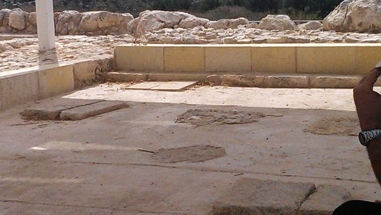
Numerous presses cut into bedrock show the scale of olive and wine production during the Byzantine period. West of the upper mound, the largest wine-production complex has a seven-metre-wide grape-treading floor, where grapes were crushed to extract juice. The floor is cut into bedrock and paved with white mosaic.
Church mosaic
A mosaic floor found near al-Haditha’s threshing floors in August 1940 belonged to a small church or chapel. The room measured 5.25 by 4.25 metres and was built directly on bedrock. A surviving wall reaches 10 centimetres in height. The floor depicts a Nile scene with a river, nude figures, a sailing boat carrying wine jars, birds, fish, lotus flowers, and a walled city labelled “Egypt” in Greek.
Two fragmentary Greek inscriptions, each with a small cross above it, accompany the scene. One refers to work on the place of prayer; the other invokes the Lord God of Hosts to save those who contributed and mentions a priest. Archaeologist Michael Avi-Yonah dated the mosaic to the second half of the sixth century CE. Jacob Ory of the British Mandate Department of Antiquities excavated it in December 1940. The floor was removed, stored by the department, and later transferred to the Israeli National Maritime Museum in Haifa.
Tombs and grave goods
Dozens of tombs with arched recesses have been excavated or surveyed around the upper mound and its surroundings. Finds include pottery dating to the fourth through seventh centuries CE, glass vessels, jewelry, and a small silver Christian cross. Some of the glass vessels date to the eighth century.
Highway tunnels
The Highway 6 tunnels pass beneath the mound along a route 430 metres long.