Talarn Castle: A Medieval Fortified Complex in Spain

Site at a Glance
- Rating
- 4.4
- Popularity
- Very Low
- Country
- Spain
- Primary era
- Medieval
- Eras represented
- Medieval
- Civilizations
- Crown of Aragon
- Site type
- Military
- Remains
- Fortified Town
On this page12 sections
History
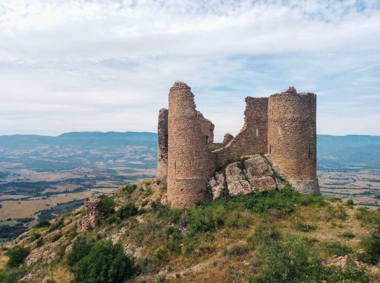
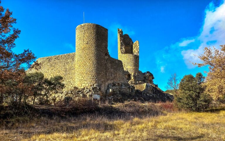
Talarn Castle is a medieval fortified complex in Talarn, Spain, developed from the eleventh century as the defensive center of the town and territory of Pallars Jussà. Its strategic position and broad jurisdiction made it an important regional stronghold, while the settlement below grew into a walled town whose medieval structure partly survives.
Feudal origins and lordship
The castle’s territory appears in records from 1055 and 1056, when it formed the northern boundary of the territories of Mur and Llimiana. In 1064, Ramon VI, Count of Pallars Jussà, pledged the castle to his cousin Artau I, Count of Pallars Sobirà. Pallars Jussà and Pallars Sobirà were neighboring historical territories in the Pyrenean region. In 1079, Ramon VI granted the castle to his castellan, Ginaman Hug. A castellan was the person entrusted with a castle’s custody and administration. These successive relationships reveal the importance of Talarn within the political organization of the region.
From the thirteenth century, members of the Mur and Vilamur families served as castellans. In 1338, Arcard de Talarn rendered homage to Pere III, King Peter III of Aragon, for the castle. During the first half of the fourteenth century, the monarchy repeatedly pawned Talarn and Orrit to raise money. In 1357, the king sold the castles and places of Talarn and Orrit to Arnau Roger, Count of Pallars, for 71,000 sous, granting them in free allodial tenure. This form of ownership was held without a superior feudal lord.
Walled town and political center
The settlement probably began as a village dependent on the castle beneath its fortified height. As the defenses expanded, a second enclosure was built around the medieval settlement, transforming it into a walled town. Talarn later became a regionally important courtly center and attracted leading Pallars families, who established their ancestral houses there. Repeated changes altered the old buildings, but many elements of the medieval urban arrangement remained.
A royal privilege issued in 1455 made Talarn the capital of the Pallars subvegueria and the residence of its subveguer. A subvegueria was an administrative district governed by a subveguer. The office could thereafter be held only by sons of Talarn, strengthening the town’s local political position.
Conflict and administrative change
Talarn’s strategic and political importance made it a target during periods of conflict. In 1476, the town was captured by mercenary companies commanded by Lluís de Mudarra. In 1562, it was taken by Huguenots under the Count of Foix. Huguenots were French Protestants whose military activity formed part of the religious conflicts of sixteenth-century France and neighboring regions.
In 1716, Felipe V, King Philip V of Spain, made Talarn the capital of a corregimiento, a royal administrative district created within his administrative reforms. Talarn retained that status until 1834, when the capital was transferred to Tremp. The castle and town complex is now protected as a Cultural Asset of National Interest and a Spanish Asset of Cultural Interest, with the designation dating from 1988.
Remains
The surviving remains occupy the highest and easternmost part of the walled town, at approximately 581 metres above sea level. The castle site is now partly incorporated into the built-up area of Talarn. Its surviving features include the Torre de la Presó, the Pla del Castell, and traces of the original church, while the town below retains sections of its enclosure, defensive towers, gates, streets, and later-modified houses.
Castle remains
Torre de la Presó
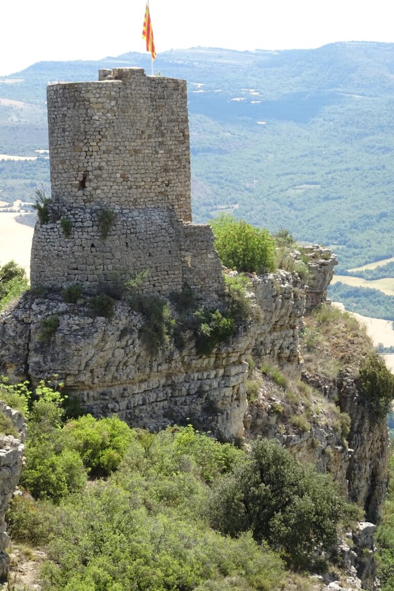
The Torre de la Presó preserves a section of an eleventh-century castle tower. The surviving part measures about 2.7 metres in diameter and 6 metres in height. Two ledges project at approximately 2.9 and 3.9 metres above ground level. Walls beside the tower are around 180 centimetres thick. The tower stands beside the Pla del Castell, the former parade ground of the castle, and its masonry forms part of the remains preserved within the modern town.
Original church
Other castle remains stand near the Torre de la Presó, including fragments of the original church. These remains are heavily obscured among the houses that occupy the former castle site. Their position beside the tower connects them with the upper fortified area of the medieval complex.
Town walls and towers
Eastern defenses
On the eastern side of Talarn stand the Portal de Soldevila and the Torre de Soldevila. The tower has a battered profile, with walls that slope slightly outward, and is built from large ashlar blocks arranged in regular courses. The Portal de Soldevila forms one of the principal entrances to the enclosed town.
Western defenses
The western end of the town is marked by the Torre de Caps, built from smaller stones set in less regular courses. Farther north are traces of an almost vanished angle tower or small wall tower. Behind the church of Sant Martí, a further tower fragment survives. Its rounded masonry forms identify it as part of the town’s defensive works. These towers were built later than the castle and may date from the thirteenth or fourteenth century.
The town’s portals include the Portal de Soldevila, the Portal de Caps, an interior portal beside the church, and another interior portal on the ascent toward the castle. Together, these entrances reflect the arrangement of the walled settlement around its central fortified height.
Medieval urban fabric
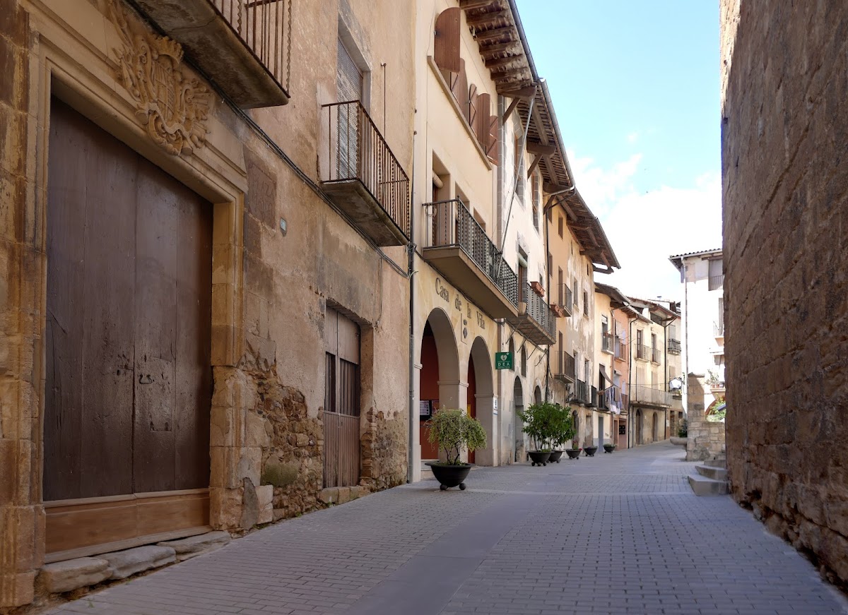
Talarn retains three principal streets within the former enclosure. The central Carrer del Mig, also known as Carrer del Forn, begins beside the northern side of the church. Running parallel to it, Carrer Nou, also called Carrer de Pau Coll, links the Portal de Soldevila in the southeast with the Portal de la Torre dels Caps beside the Torre de Caps in the northwest.
A third street farther north passes by the castle and the Plaça de Vilanova, also known as Plaça del Gall, on the western side of the town. Smaller lanes, including Carrer del Forn and Carrer del Castell, connect the three principal streets and complete the surviving urban network. The medieval houses were later modernized, but the pattern of streets and the relationship between the upper castle site and the walled settlement remain partly preserved.