Silifke Castle: A Byzantine and Armenian Fortress in Türkiye
Site at a Glance
- Rating
- 4.1
- Popularity
- Low
- Country
- Turkey
- Primary era
- Medieval
- Eras represented
- Medieval
- Civilizations
- Byzantine, Crusader, Kingdom of Cilicia, Knights Hospitaller
- Site type
- Military
- Remains
- Castle
On this page9 sections
History
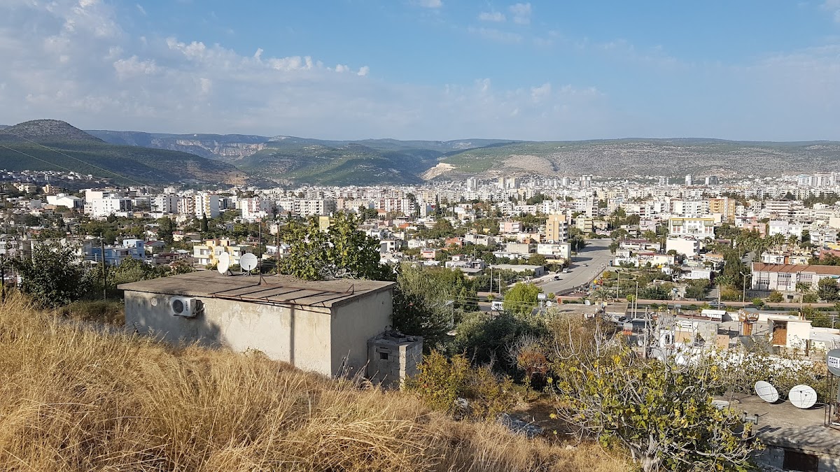
Silifke Castle is a medieval fortress in Türkiye, overlooking Silifke and the Göksu valley. Built on the site of an ancient acropolis, it is generally associated with Byzantine strengthening in the late seventh century, when the Byzantine Empire, the medieval Roman state centered on Constantinople, responded to Arab attacks. The fortress, known in that period as Kastron Seleukeias, controlled the road westward through Cilicia, the route north along the Göksu River toward the Taurus Mountains, and a crossing over the ancient Calycadnus River.
Byzantine stronghold
During the Byzantine period, Silifke Castle also contained a weapons-manufacturing facility and served as the administrative center of a theme, a Byzantine military and territorial district. The fortress remained under Byzantine control through successive Arab attacks until Crusaders captured it in 1098.
Crusader and Armenian control
After its capture, the castle passed between Byzantine and Armenian control. In the late 1180s, Leo II of the Rubenid dynasty captured Silifke and its fortress. Leo II ruled the Armenian Kingdom of Cilicia, a medieval Armenian state in the wider region of Cilicia. In 1210, he granted Silifke Castle, the city of Seleukia, and the western fortress of Norpert, now Tokmar Castle, to the Knights Hospitaller in exchange for money and military assistance against the Seljuk Turks. The agreement involved support from 400 armed knights and an annual payment.
The Knights Hospitaller, a Latin Christian military order active in fortified positions across the eastern Mediterranean and the Levant, abandoned the possession in 1226. Armenian forces then recovered and renewed the castle, which remained under Armenian control. A fragmentary Armenian inscription may refer to repairs or an enlargement in 1236. The fortress may also have been briefly commanded by a Frankish officer named Guiscard in 1248. In this setting, “Franks” refers to the Latin Christian forces associated with the Crusader states and military orders.
Zapēl and the thirteenth-century crisis
Following Leo II’s death in 1219, his daughter Zapēl, also known as Isabella, became queen of Armenian Cilicia. Disputes arose around her husband Philip, the son of Bohemond IV of Antioch. After Philip died by poisoning in 1226, Zapēl and her mother took refuge in Silifke Castle. The Franks surrendered the fortress when the Armenian army arrived, allowing Armenian forces to recover it.
Later records and archaeological study
From the fourteenth century, Silifke belonged to the Karamanid principality. The Karamanids were a powerful Turkish principality that ruled parts of central and southern Anatolia before the region was absorbed into the Ottoman Empire. Later travelers continued to describe the fortress. Giosafat Barbaro visited in the fifteenth century, while the Ottoman traveler Evliya Çelebi recorded it in the seventeenth century.
Captain Francis Beaufort surveyed the Cilician coast for the British Admiralty in 1811 and 1812 and found two Armenian inscriptions at the castle, although he could not read them. The French Orientalist Victor Langlois visited Silifke in 1852 and 1853 and also recorded the fortress. A formal survey followed in 1979. The castle is now a ruin, but substantial sections of its fortifications remain standing, including walls that are partly preserved and partly restored.
Remains
Hilltop setting and fortifications
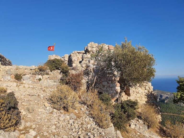
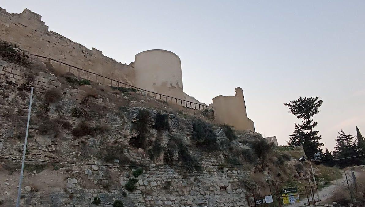
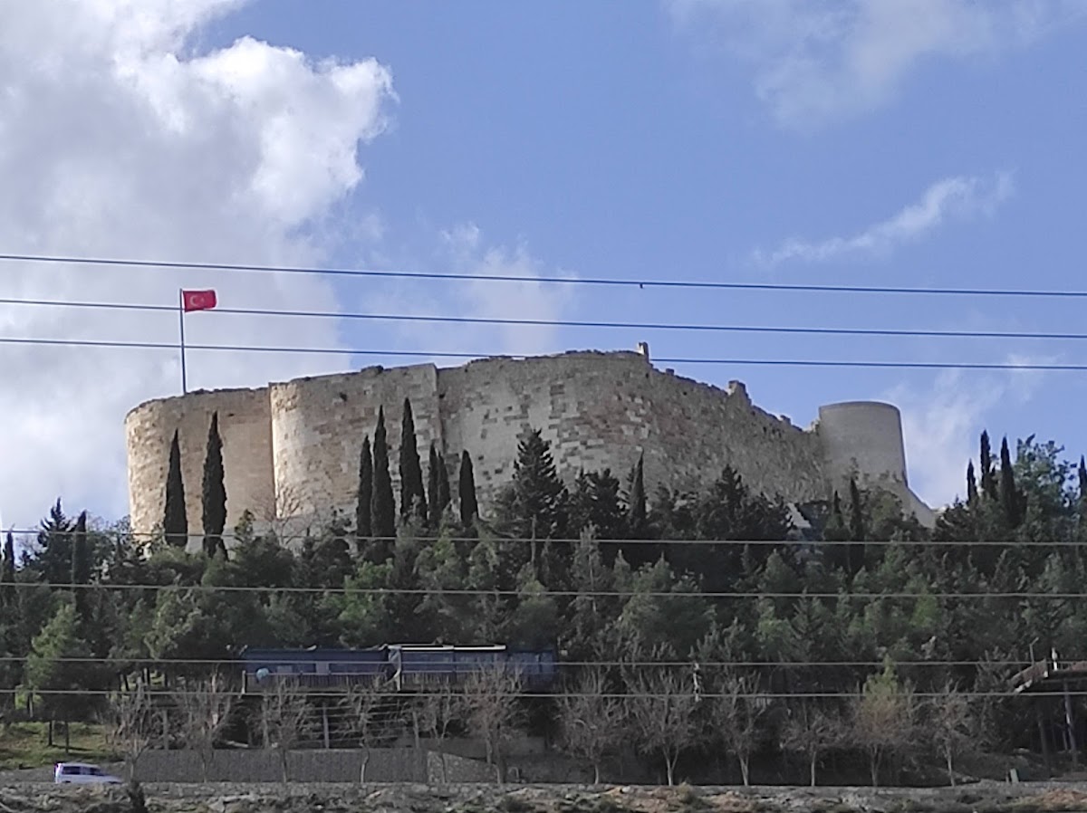
Silifke Castle occupies a hill approximately 160 metres above sea level, west of Silifke, south of the Göksu River, and north of the D-715 highway. Its elevated position overlooks the Silifke plain and the southern part of the Göksu valley. The fortress follows an oval plan measuring about 250 metres from west to east and 75 metres from north to south, with a dry moat around the enclosure.
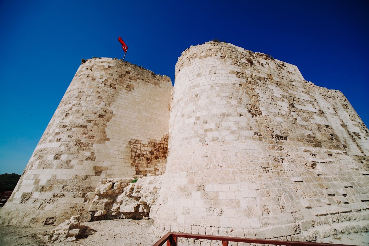
A crenellated circuit wall, with alternating raised sections and gaps along its parapet, formerly incorporated 23 towers. Ten towers survive, many with vaulted ceilings formed by arched structural coverings. The wall facing is largely built from finely dressed ashlar, or regularly cut stone blocks, while rubble stone and squared blocks also appear in the construction. The principal entrance lies on the north side.
Courtyard buildings
Residential and service buildings were arranged around an open courtyard. Heavily overgrown remains include a palace, a storeroom, a cellar dungeon, a cistern, and a mosque dating from the emirate period. Their surviving fabric forms part of the castle’s layered Byzantine, Armenian, Crusader, and later history. A 1987 study attributes much of the present form to modifications made by the Knights Hospitaller, while other descriptions characterize the surviving remains as predominantly Byzantine with Armenian influences.
Underground chambers and recorded features
Approximately equal numbers of underground chambers survive beneath the castle. Some retain pointed vaults and are supported by arches. Evliya Çelebi counted 23 towers and 60 houses within the fortress, as well as a mosque, in his seventeenth-century description.
Barbaro described sarcophagi and rock-cut tombs on the castle hill, together with iron gates and an enclosing wall that he measured at three miles in length. Two Armenian inscriptions were found at the castle in the early nineteenth century. One fragmentary text may relate to repairs or an enlargement carried out in 1236.
Nearby sites