Štip Fortress: A Fourteenth-Century Fortress and Residence in North Macedonia
Site at a Glance
- Popularity
- Medium
- Country
- North Macedonia
- Primary era
- Medieval
- Eras represented
- Medieval
- Civilizations
- Serbian
- Site type
- Military
- Remains
- Citadel
On this page16 sections
History
Early fortress and Byzantine rule
Štip Fortress is a medieval hilltop complex in western Štip, North Macedonia, whose surviving form dates to the fourteenth century. An earlier fortress may have been established in the early medieval period to defend the settlement below. A fortress at Štip is mentioned in the early eleventh century, and in 1014 Byzantine emperor Basil II captured it during his war against Samuel, a medieval Bulgarian tsar.
Serbian rule and rebuilding
The wider region had entered Serbian territory by 1282, although records of that change do not name Štip itself. The Bregalnica region was fully conquered by 1328, and the former Byzantine fortress was probably still unreconstructed in 1282. Under Stefan Dušan, a Serbian ruler who reigned first as king and later as emperor, records mention Štip’s suburb in 1332. In 1355 they refer to the town, its market or suburb, and a kefalija, a local administrative official. The fortress appears to have been rebuilt later, rather than immediately after the Serbian takeover.
Štip was probably the seat of Jovan Oliver, a powerful Serbian noble who governed the Ovche Pole, Bregalnica, and Osogovo regions. The fortress is understood as a monumental residence organized around a palace, rather than simply a refuge for townspeople or a state military base. Its construction, along with that of several local churches, is associated with Oliver. His wealth was connected to renewed mining in Osogovo and the trade that developed around it; he also minted coins bearing his name from Osogovo silver. Konstantin Dejan succeeded him as a regional lord.
The churches were built in the sequence of St Archangel Michael, St John the Baptist, St Blaise, St Nicholas, and Holy Ascension, also called St Saviour. Charters survive for some of these churches or their patrons, and builders are known. The historical region of Ovche Pole extended farther east than the area commonly given that name today. It included Štip and its surroundings until the nineteenth century.
Ottoman garrison and abandonment
The Ottomans captured Štip in 1385 and kept a military garrison at the fortress for at least two centuries. The garrison numbered 17 guards in 1530 and 11 in 1573. As firearms changed military requirements, the fortress lost its military function. It was described as deserted in the seventeenth century.
Remains
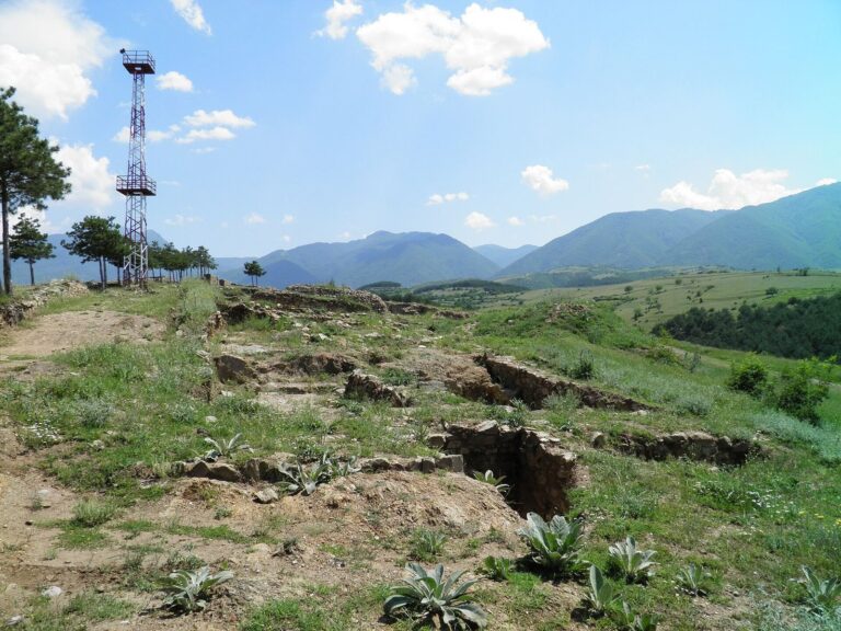
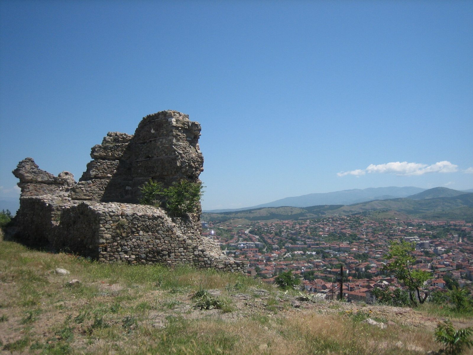
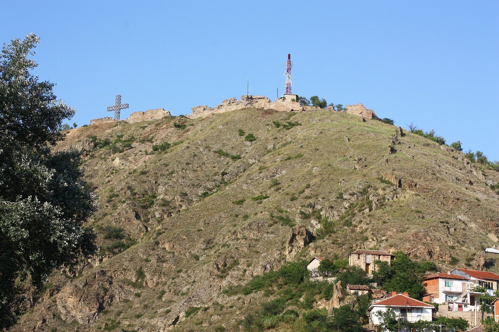
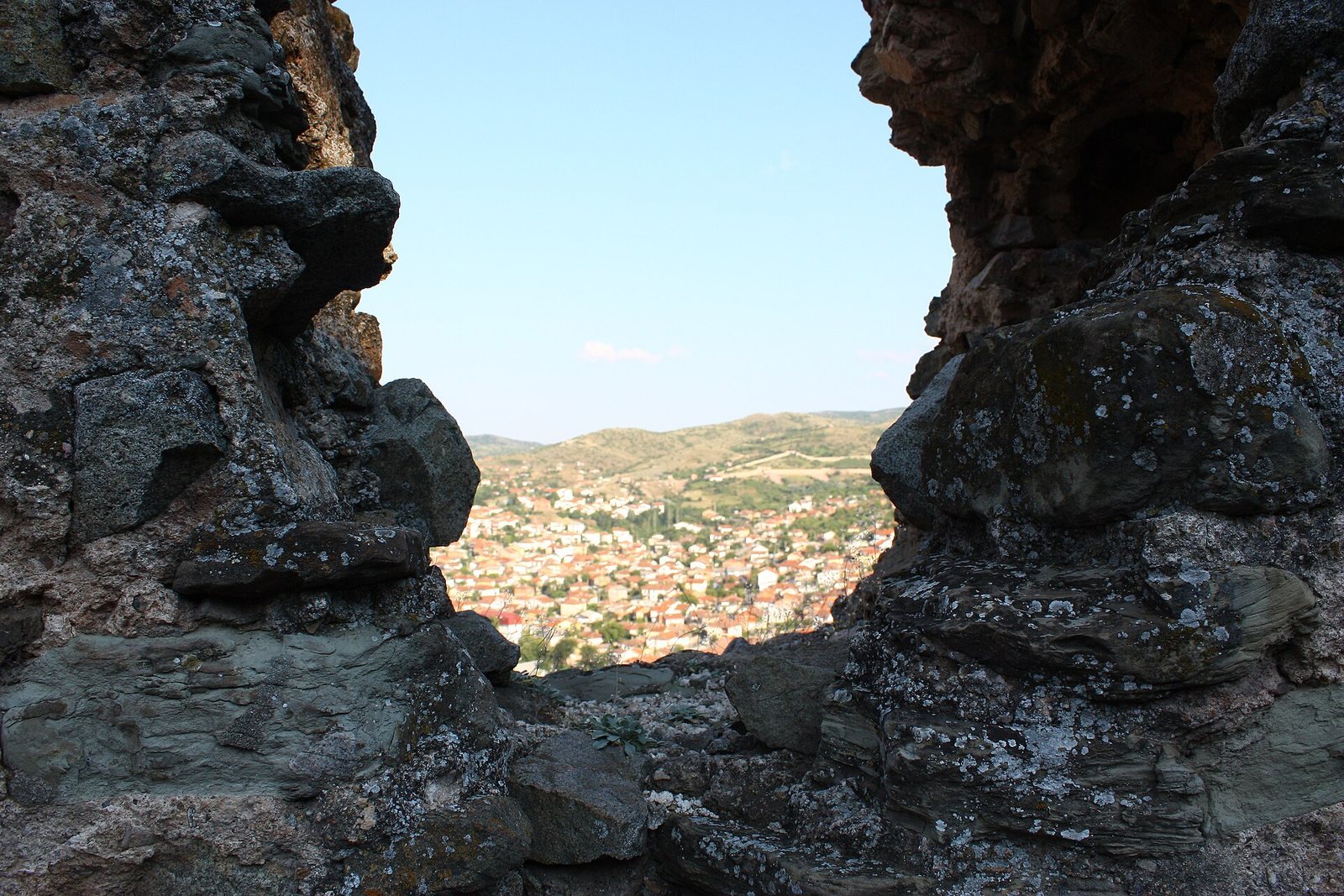
The fortress occupies a steep, rocky hill above the confluence of the Bregalnica and Otinja rivers. The hill is described as 150 m high, rising about 120 m above the Otinja riverbed, and its uneven summit plateau extends roughly 200 m from north to south. Two separate wall circuits enclose an upper castle on the crest and a lower outer enclosure across the northern, eastern, and southern slopes. The walls are built in slab-like courses with abundant mortar and reinforced by timber beams laid both lengthwise and crosswise.
Upper castle and palace
Western wall and palace
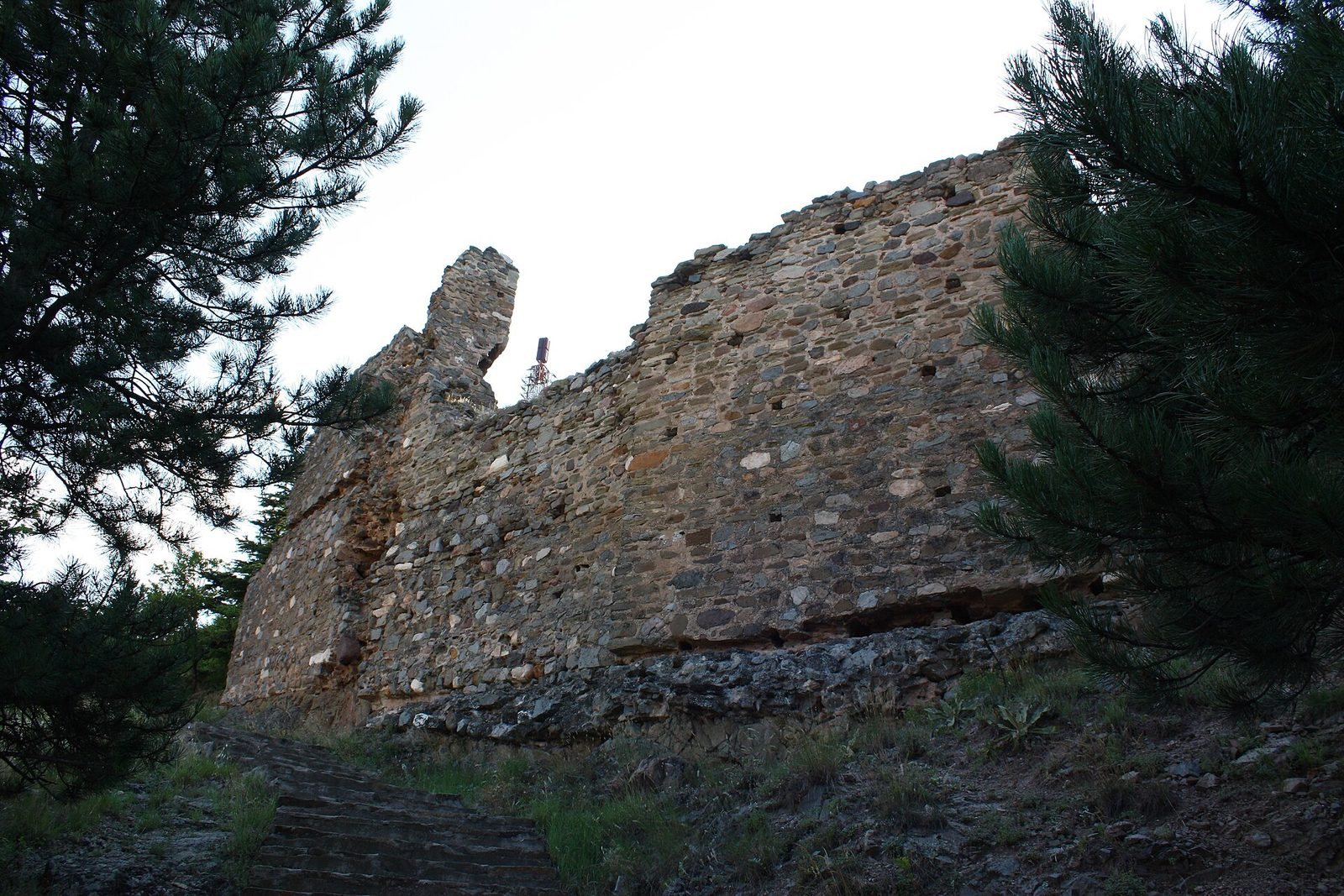
The upper castle occupies an area about 106 m long and up to 20 m wide. Its western wall follows the edge of the steep slope in a straight line. The southern half is about 1.5 m thick and supported auxiliary buildings against its inner face; the thicker northern half, reaching 2.65 m, supported the palace. Holes for beams indicate that the palace had a basement and at least one upper storey, probably two. A triangular tower at the north end is destroyed.
Main tower and eastern wall
The main tower stands midway along the upper castle’s eastern wall. It measures 9.8 by 8 m and survives to a height of 12 m, measured from the hill’s eastern foot; its front wall is 2.2 m thick. A gate stood to its south. On the tower’s north side, an attached guardhouse served an inner double gate linking the forecourt to the palace courtyard. The upper enclosure’s eastern wall is largely ruined.
Rainwater tanks
Two cisterns, or rainwater-storage tanks, are cut into the bedrock inside the upper enclosure, one in its northern part and one in its southern part. They measure about 4 by 5 m and 4 by 8.7 m respectively. The northern tank is probably older and may date to late antiquity.
Lower outer enclosure and approaches
Perimeter and entrances
The lower enclosure extends about 250 m along the slopes, measuring about 50 m wide in the north and 60 m in the south. Its enclosed area exceeds one hectare. The perimeter wall is generally about 1.3 m thick. Some stretches remain comparatively well preserved and reach 12 to 19 m in height, while others show collapse, repairs, or later additions. The southern part of the lower enclosure has the best-preserved outer wall.
One entrance lies midway along the eastern wall, facing the lower settlement; another is in the southwestern wall where the lower enclosure meets the upper castle. Both gates are set at an angle to the wall, an arrangement intended to improve protection during an attack. The easiest approach was from the north, along a narrow ridge descending toward the river, though the wall on that side is heavily ruined.
Rock-cut house basements
Rectangular hollows cut into the steep rock slope mark the basements of houses. They lie within the area of the lower enclosure and preserve evidence of buildings set into the hillside.
Churches and earlier remains
Churches on the slopes
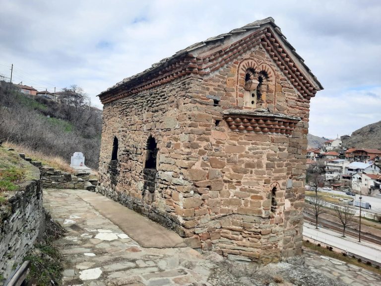
Three churches stand on the lower slopes: St Archangel Michael to the east, St John the Baptist to the south, and the remains of St Blaise to the north. St Archangel Michael, at the eastern foot of the hill in the northern part of the lower settlement, is a well-preserved fourteenth-century church. Medieval settlement remains also occur on the nearby slope.
Evidence of earlier activity
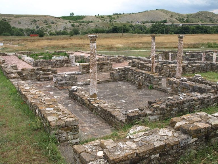
Fragments of white Roman marble architectural decoration from Astibos, the ancient city immediately below the hill in what is now the Star Konak district, were reused in the fortress masonry. Stone monuments dating from the second to sixth centuries attest to the ancient city. A large tunnel from the same period was cut through granite from the summit to the hill’s western foot, at the level of the Bregalnica. At the eastern foot are remains of a sixth-century early Christian basilica, a church with a long central space often flanked by side aisles, including capitals. Traces of late-antique houses remain on the hill, while ceramic-vessel fragments suggest possible defensive use in early antiquity and perhaps as early as the Iron Age.
Aqueduct at Suitlak
Across the Otinja at Suitlak, remains of a Roman aqueduct include masonry and ceramic water pipes of late-antique type.