Selinus: An Ancient Port-Town of Rough Cilicia
Site at a Glance
- Popularity
- High
- Country
- Turkey
- Primary era
- Classical
- Eras represented
- Classical, Medieval
- Civilizations
- Kingdom of Cilicia, Roman, Seljuk
- Site type
- Settlement
- Remains
- Town
On this page17 sections
History
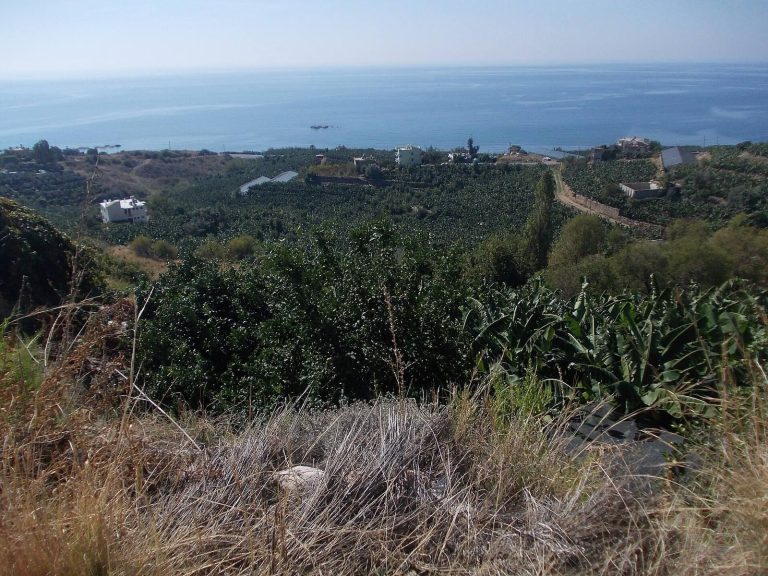
Selinus was an ancient port-town in Rough Cilicia, on the southern coast of present-day Turkey. Rough Cilicia was the rugged western part of ancient Cilicia. The city is first known from sixth-century BC Assyrian records and was later mentioned by the geographers Ptolemy and Pliny. Its harbor and coastal routes connected it with other settlements, while the slopes near the harbor supported agriculture.
Early records and changing rule
In 557 BC, Neriglissar, king of the Neo-Babylonian Empire, captured Selinus during a campaign against Pirindu. Before returning to Babylon, he ordered fires along the route from the Selinus pass toward the border of Lydia.
From the fourth century BC, the city passed from Persian rule under local Cilician kings to Alexander the Great. After Alexander’s death, his successors fought over Cilicia. Selinus came under the Ptolemies, a dynasty founded by one of Alexander’s successors, amid conflict with the Seleucids, another successor dynasty. In 197 BC, Seleucid king Antiochus III captured the city during the Fifth Syrian War, a conflict between these powers.
Roman period
During the wars between Rome and the Seleucids, Cilician pirates used Selinus as a refuge. After the Roman general Pompey defeated the pirates in 67 BC, Cilicia became a Roman province. Selinus lay on the coastal road network between Tarsus and Attalia, including the route from Syedra to Antiochia ad Cragum. Its harbor and roads enabled travel and trade.
Trajan is traditionally said to have died at Selinus on 8 August 117, wounded while returning from his campaign against Parthia. He was cremated in the city, and his ashes were taken to Rome. Under his successor, Hadrian, a cenotaph, a memorial that does not contain the honored person’s remains, was built for him. Selinus briefly took the name Trajanopolis. The city received Roman funding and reached a high point in its commercial power after Trajan’s death.
Christian and Byzantine periods
In 269, the Sasanian king Shapur I captured Selinus. Christianity gained a foothold in the fourth century, and the city became a bishopric subordinate to the leading diocese at Seleucia. Selinus was later transferred from Cilicia to Isauria, the mountainous interior region of southern Anatolia, and remained within that province under Byzantine rule. In the late fifth century, Isaurians took the city during the revolt of Leontius against Emperor Zeno.
From 680, Selinus belonged to the Karabisian Theme, a Byzantine administrative and military district associated with maritime defense. As the port declined in importance, the region increasingly relied on its own resources. In the tenth century, resident bishops of the Armenian Apostolic Church served in the city. During the Crusades, one Latin bishop lived there. After the Byzantine defeat at Manzikert, Selinus came under the Armenian Kingdom of Cilicia.
Seljuk, Ottoman, and later periods
In 1225, Seljuks conquered Selinus under Keykubad I, ruler of the Sultanate of Rum, a Seljuk state in Anatolia. The city then ceased to function as a historical urban center, although the area remained under Turkish rule and became known as Selinti. It later passed to the Karamanid principality. In 1472, Ottoman commander Gedik Ahmet Pasha brought the Cilician coast, including Selinti, into the Ottoman Empire under Sultan Mehmed II.
In the seventeenth century, the traveler Evliya Çelebi described Selinti as a cluster of 26 villages. He noted a mosque by the sea, a pier used by ships from Cyprus, and green mountains behind the settlement. Modern Gazipaşa lies on the Haçimusa River’s alluvial plain, formed by sediment deposited by the river, about four kilometres inland from the coast. The Roman Catholic Church now retains Selinus as a titular see, a bishop’s title associated with a former diocese rather than an active residential one.
Remains
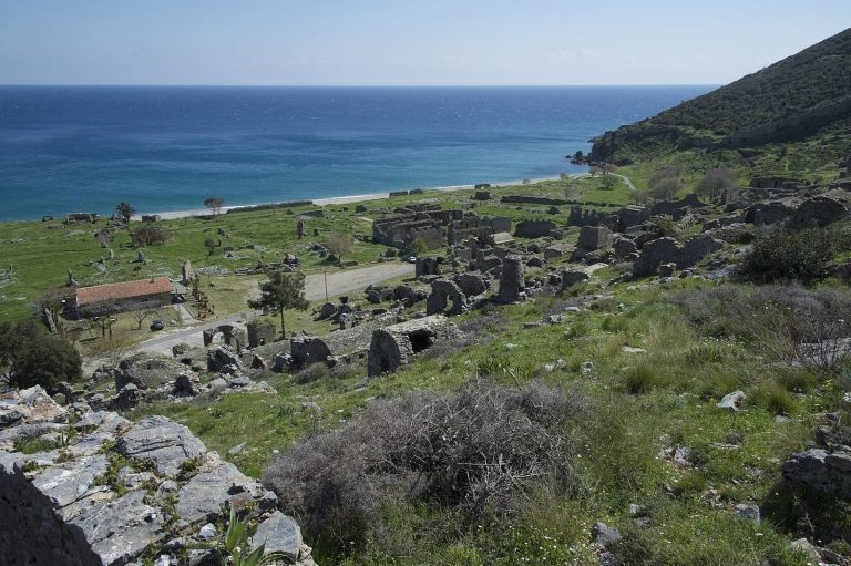
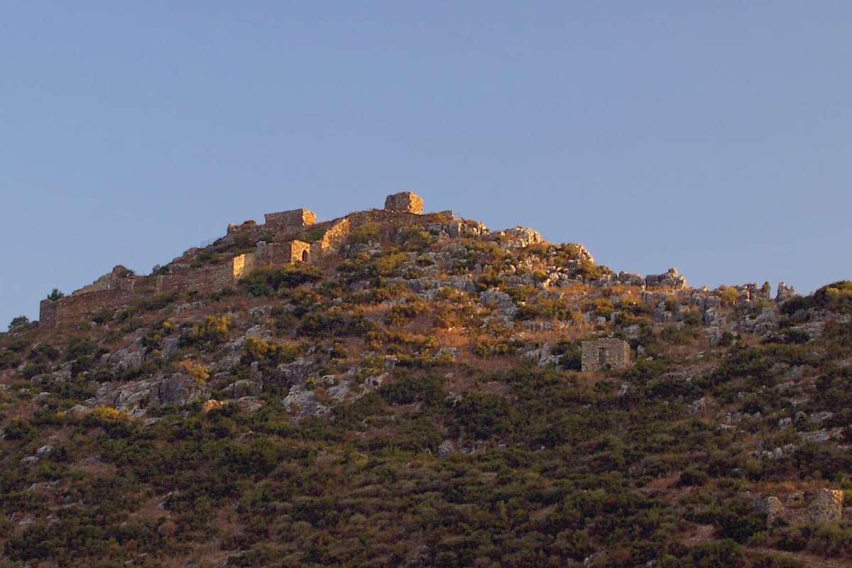
The ancient city occupied a rocky rise reaching about 200 metres above the coast. The rock drops sharply to the sea on its southern side and descends steeply toward the river in the north. The settlement lay between the rock and the river mouth. The ancient walls enclosed only part of the rock, and the principal Roman remains lie at the hill’s foot, between it and the river.
Walls and hilltop remains
City walls and gate
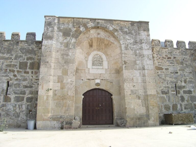
Masonry remains of the city walls lie to the north. A lower gate is also among the surviving features, while traces of houses lie within the walled area.
Acropolis churches
The hilltop acropolis, the elevated center of an ancient city, contains church remains. A basilica is also among the surviving structures, though the remains are fragmentary.
Armenian castle and Seljuk fort
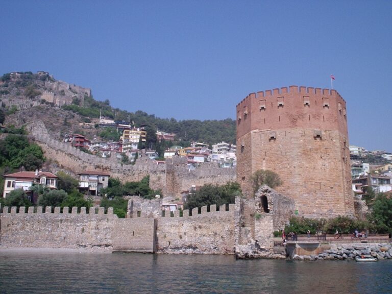
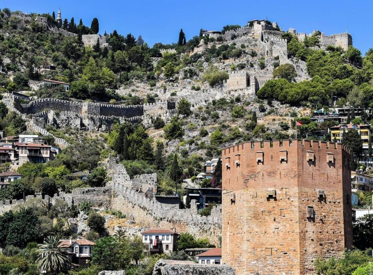
A castle on the acropolis is attributed to an Armenian lord and dated to the twelfth century. Later called Castelo Lombardo, it served as a base for Italian merchants. A separate Seljuk fort was built on the rock. A Seljuk-period house also survives among the remains.
Water and civic structures
Aqueduct and baths
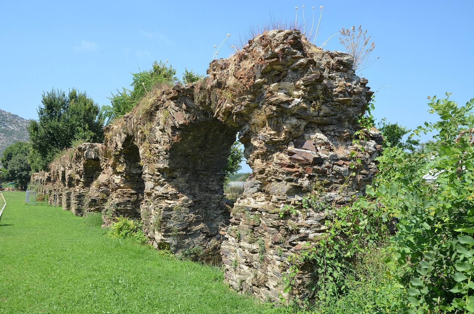
An aqueduct brought spring water to the city’s baths, crossing the river and marshland at its mouth. It is also described among the remains of the upper town. Parts of the baths survive.
Theatre and civic area
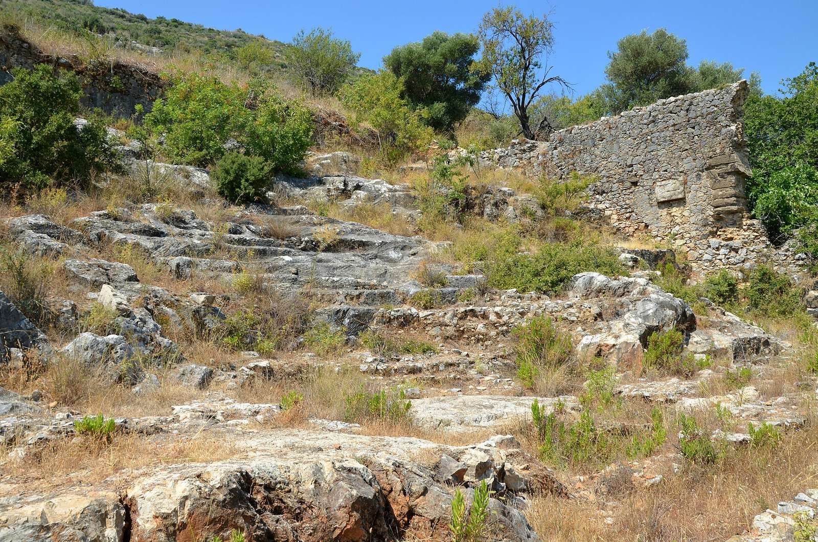
The worn seating of a small theatre follows the slope of the hill. Outside the walls, between the hill’s foot and the river, remains have been interpreted as including a theatre, an agora, a mausoleum, an aqueduct, and tombs.
Sekerhane kiosk
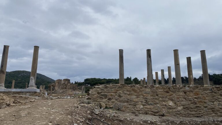
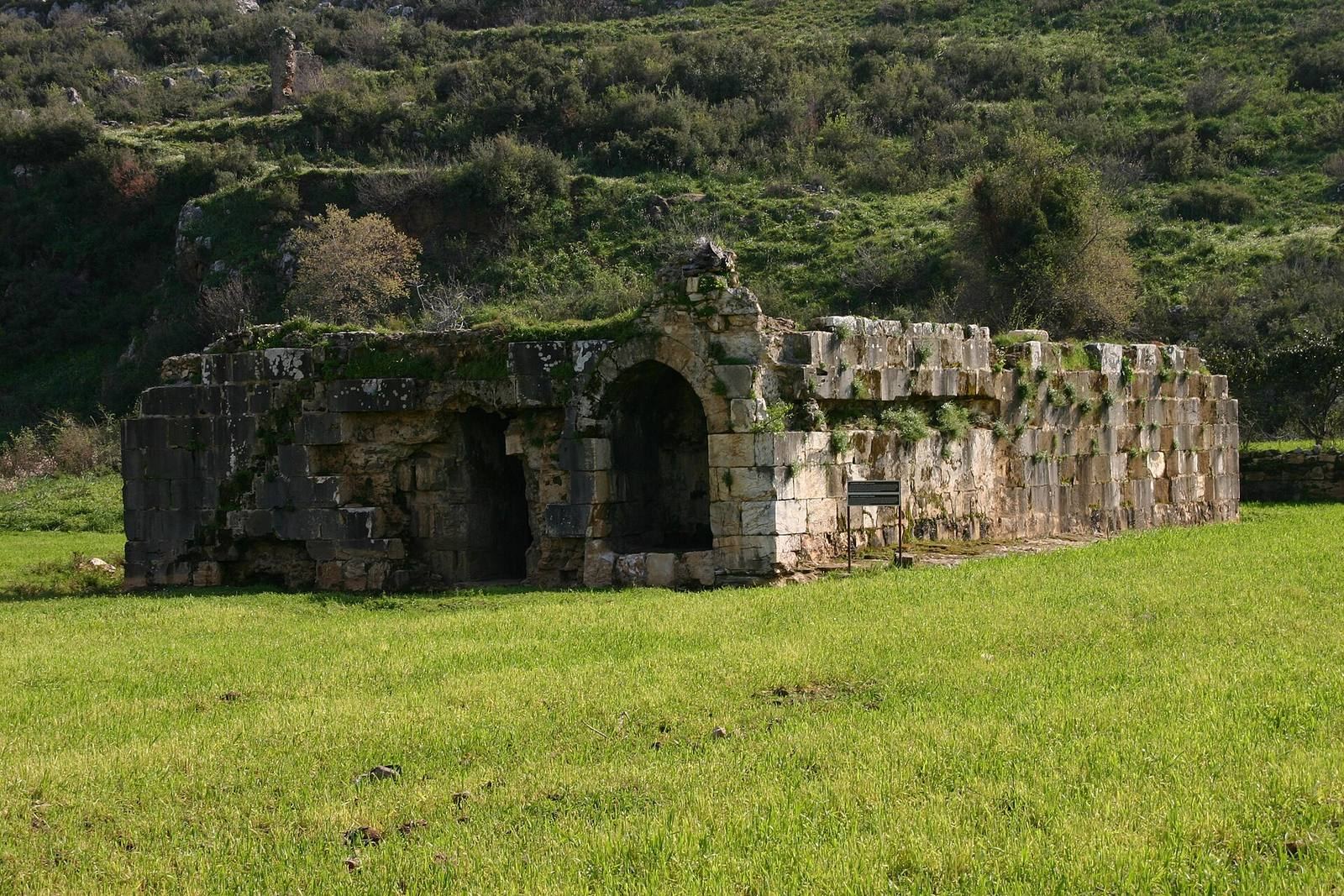
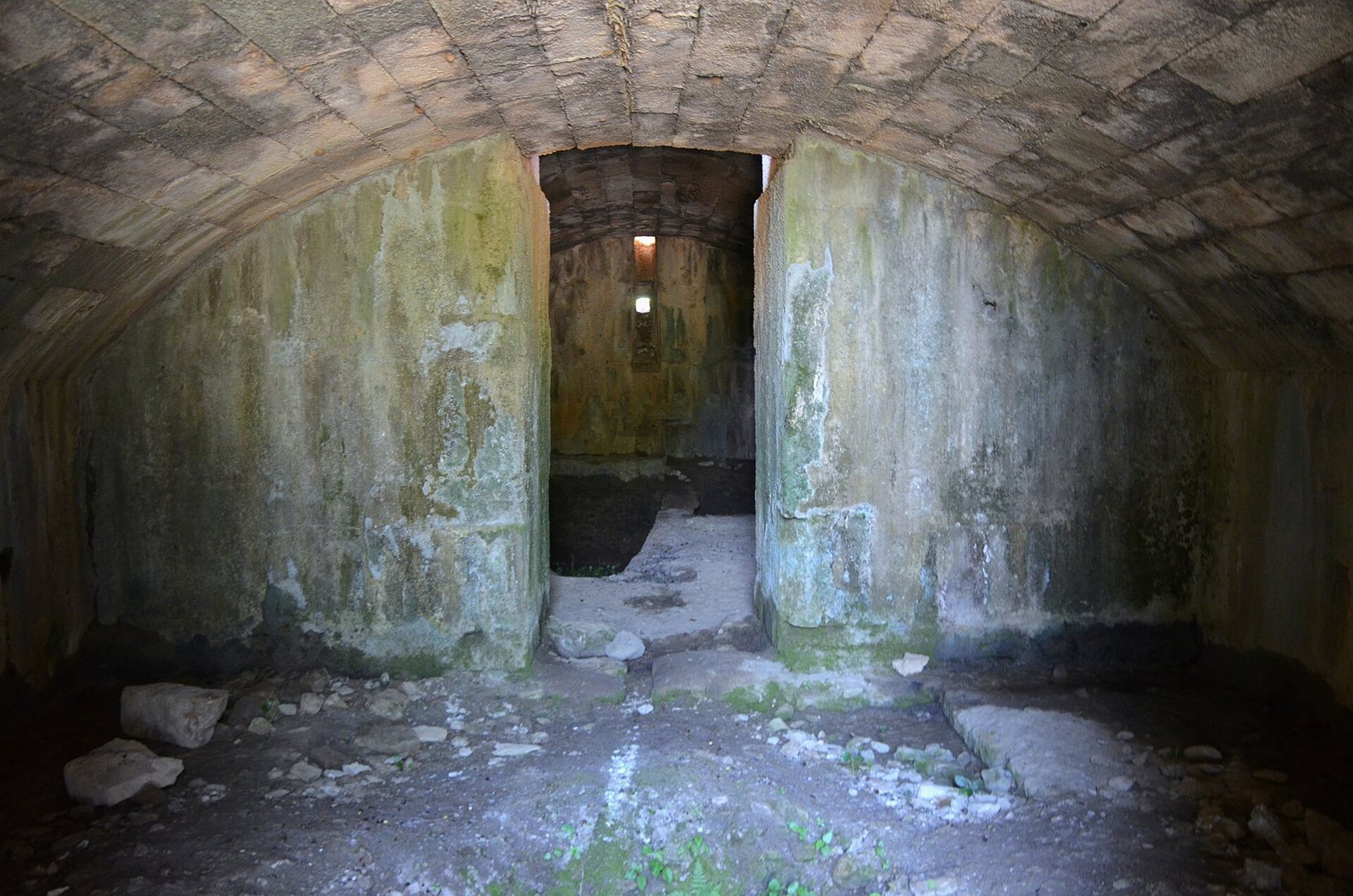
A large rectangular building surrounded by columns still stands and is locally called the Sekerhane kiosk. Its colonnade may date to the classical period, while its present form has been interpreted as a medieval Seljuk caravanserai, a roadside lodging and service building, or a hunting pavilion. The building probably occupies the site of Trajan’s cenotaph. Remains of that earlier monument point to a structure in the Corinthian order, a classical style with capitals decorated by acanthus leaves; its stones were taken for reuse.
Burial ground and harbor approach
Eastern necropolis and church
To the east are masonry remains of a necropolis, or ancient burial ground, and the foundations of a small church.
Route to the ancient harbor
Two rows of partly buried column fragments mark the route from the city toward the ancient harbor, which is thought to have lain south of the settlement. The modern harbor is north of the city, at the mouth of the Haçimusa River, also called Musa Çay.