Shotwick Castle: A Medieval Stronghold at a Tidal Crossing
Site at a Glance
- Popularity
- Medium
- Country
- United Kingdom
- Primary era
- Medieval
- Eras represented
- Medieval
- Civilizations
- English
- Site type
- Military
- Remains
- Castle
On this page7 sections
History
Shotwick Castle was a medieval stronghold near Saughall in Cheshire, United Kingdom, begun around 1093 by Hugh Lupus, the first Earl of Chester. It controlled a tidal ford across the River Dee, a crossing usable when the tide allowed, between England and Wales. The castle was in use from the 11th to the 14th century.
Under the Earls of Chester
The Earls of Chester paid for repairs to Shotwick’s defenses during the 12th and early 13th centuries. Henry II and Henry III also stayed there during campaigns against the Welsh. In 1237, John, the 7th Earl of Chester, died without children, and the Crown acquired the castles belonging to the earldom, including Shotwick. John’s sisters were compelled to surrender some of his estates and property to Henry III.
Royal castle and hunting lodge
In September 1284, Edward I stopped at Shotwick while travelling from Chester Castle to Flint Castle after his second campaign in Wales. As hostilities ended, the castle lost its strategic value. By 1327, the surrounding land had become a royal deer park for Edward III, who used Shotwick as a hunting lodge. When the Black Prince, Edward III’s son, visited in 1353, the site had no garrison and was described as a manor rather than a castle. The last major repairs took place in 1371. The landscaping at Shotwick was roughly contemporary with work at Bodiam Castle, completed in 1384.
Decline and later study
Shotwick was in ruins by the 17th century, when the area had become Shotwick Park. In the 18th century, the River Dee was redirected south into an artificial channel. A local schoolmaster named Williams partly excavated the site in 1876, and the earthworks were surveyed in the 1990s. Shotwick Castle is a Scheduled Monument, a legally protected archaeological site or historic monument.
Remains
Earthworks and setting
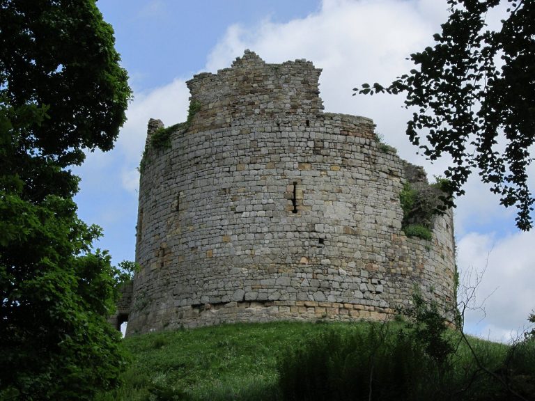
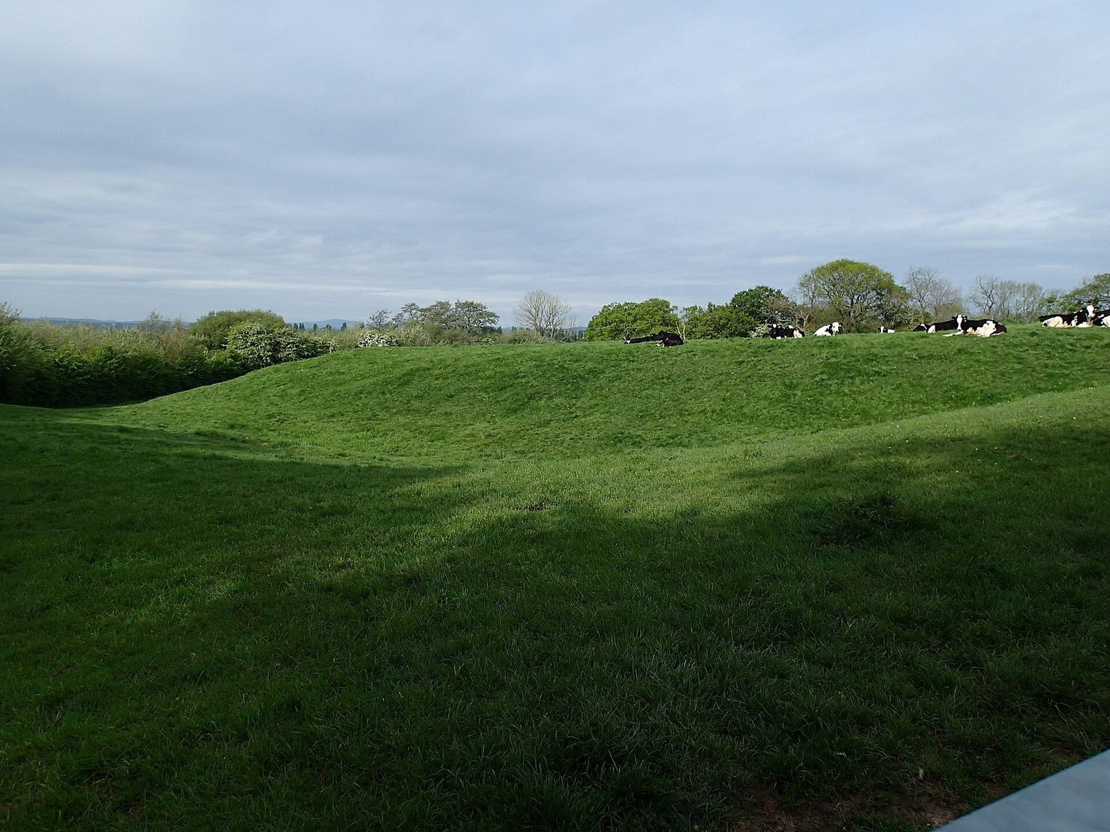
The castle occupied a promontory near Saughall, bordered by steep banks formed by two watercourses that flowed into the River Dee. The river’s former course included the tidal ford. Shotwick had a motte-and-bailey layout, with a raised mound and an enclosed outer area. Its motte was a hexagonal earth mound, and two defensive ditches, each 25 metres wide and 3 metres deep, filled with water at high tide. Earth, timber and stone were used in the castle’s construction; the surviving remains are earthworks.
Gardens and archaeological finds
Parts of the outer bailey and ditches were reshaped into landscaped gardens and ponds. The 1990s survey indicated a late-medieval country house and ornamental gardens. Finds from Williams’s 1876 excavation included glazed pottery, a spur and fragments of deer antlers.