Shirai Castle: A Muromachi-Period Cliff-Edge Fortress in Japan
Site at a Glance
- Rating
- 3.8
- Popularity
- Low
- Country
- Japan
- Primary era
- Medieval
- External website
- Open
- Eras represented
- Medieval
- Civilizations
- Ashikaga shogunate
- Site type
- Military
- Remains
- Castle
On this page9 sections
History
Shirai Castle was a Japanese cliff-edge castle in Shibukawa, Japan, generally dated to the first half of the fifteenth century and associated with the Muromachi period, the era of the Ashikaga shogunate. Its construction date is uncertain, but tradition attributes it to Nagao Kagenaka. Built during a period of warfare that included the Kyotoku War, it controlled a road bottleneck linking Echigo with the Kanto region.
Origins and the Shirai Nagao clan
During the Northern and Southern Courts period, Nagao Kagetada entered the Shirai area and established the Shirai and Sosha branches of the Nagao family. Shirai Castle later became the stronghold of the Shirai Nagao clan. Its position on a tongue-shaped plateau above the confluence of the Tone and Agatsuma rivers gave the castle control over an important route, while Shirai-juku, a post town serving travelers and transport, lay to the southeast.
In the Sengoku period, the later medieval age of regional warfare and competing warrior regimes, the castle was temporarily taken by the Yamanouchi Uesugi clan during the rebellion of Nagao Kageharu against Nagao Tadayoshi of the Sosha Nagao clan. Shirai Castle otherwise generally served as the residence of the Shirai Nagao family. The length of the family’s subsequent absence is uncertain, and the castle may have remained under the control of the Yamanouchi Uesugi and their allies from Echigo for a considerable period before the Nagao family returned.
Sixteenth-century conflicts
In 1527, retainers assassinated a grandson of Nagao Kageharu. Control of Shirai Castle then passed from the Sosha Nagao clan to Nagao Norikage, who succeeded to the Shirai Nagao lineage. The clan’s power declined afterward, and it faced pressure from the Nagano clan and other regional forces.
After the Yamanouchi Uesugi fled to Echigo, Shirai Castle entered the sphere of Uesugi Kenshin, a major sixteenth-century warlord based in that region. In March 1567, the castle fell to Sanada Yukitsuna, also known as Sanada Yukitaka, and his son Sanada Nobutsuna during Takeda Shingen’s invasion of western Kozuke. Yukitsuna is thought to have transferred family leadership to Nobutsuna around the time of the capture. The Shirai Nagao clan later recaptured the castle.
Following Kenshin’s death, the 1578 conflict between Uesugi Kagekatsu and Uesugi Kagetora over succession changed Shirai Castle’s political alignment. Kagetora, supported by the Hojo clan of Sagami and warriors from Kozuke, was defeated and died on March 24, 1579. Kagekatsu then allied with the Takeda clan, prompting Nagao Norikage to join his former enemies, the Takeda.
The Takeda clan was destroyed in March 1582 when allied Oda and Tokugawa forces invaded its territory. Norikage subsequently came under the authority of the Hojo clan, and after his death his son Masakage became lord of Shirai Castle.
Conquest and the end of the castle
During Toyotomi Hideyoshi’s 1590 conquest of Odawara, the northern army led by Maeda and supported by Uesugi forces captured Shirai Castle’s North Bailey after taking Matsuida Castle. The castle surrendered on May 15, ending the rule of the Shirai Nagao clan. Hideyoshi’s campaign brought the Hojo domain and its allies under his control.
After the Tokugawa family established control over the Kanto region, Honda Yasushige founded the Shirai domain with an income of 20,000 koku, a historical measure of assessed agricultural yield used to express a domain’s status and income. The domain changed hands repeatedly. Matsudaira Yasunaga entered in 1601, followed by Ii Naotaka with 10,000 koku in 1602. When Naotaka left in 1616 to succeed to his main family, Nishio Tadanaga became lord with 20,000 koku. In 1618, the second son of Honda Yasushige was appointed with 10,000 koku.
In 1623, the last Honda lord died without an heir. The Shirai domain was abolished, the castle was decommissioned, and its structures were dismantled. A plan of Shirai Castle had been prepared by 1792. On March 31, 2004, the area around the main bailey was designated a Historic Site by Shibukawa City and was subsequently maintained.
Remains
Setting and overall layout
Shirai Castle occupied a tongue-shaped plateau projecting toward the confluence of the Tone and Agatsuma rivers. The castle extended approximately 800 meters from east to west and 1,200 meters from north to south, with a triangular plan that narrowed toward the south. A precipice facing the Agatsuma River formed its western side, creating a natural edge to the fortified area.
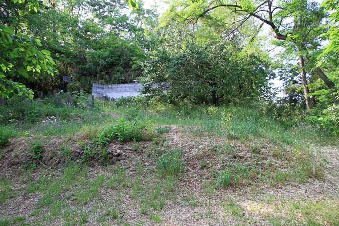
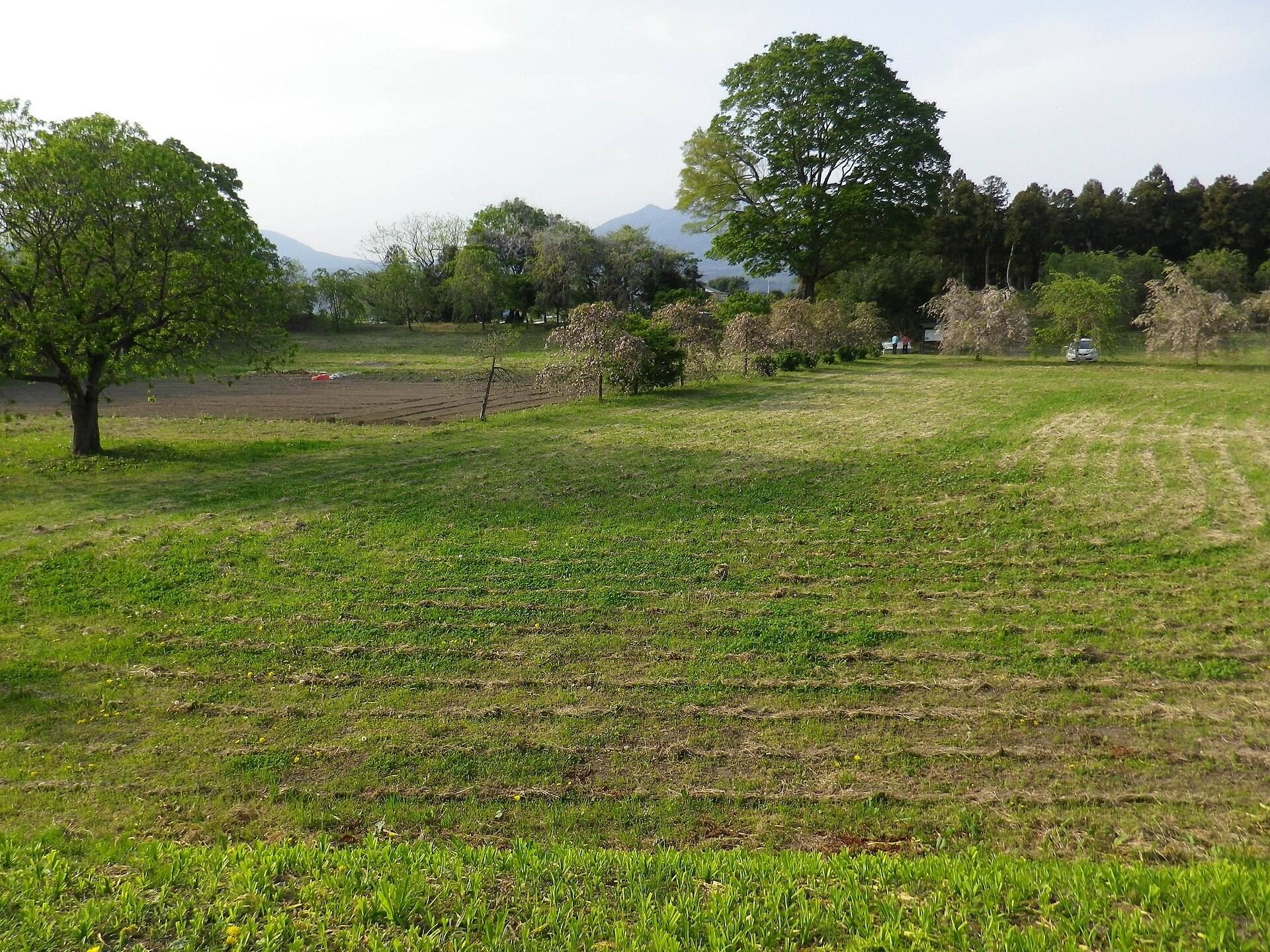
The main bailey stood near the center. The Second Bailey, Third Bailey, North Bailey, and Outer Enclosure extended successively to the north, while the South Bailey and New Bailey occupied the southern part of the complex. Most of the former castle area is now farmland and residential land, but earthworks, stone walls, and moats survive particularly around the main bailey. The form of the castle’s keep is unknown.
Baileys and surviving defenses
Main Bailey
The main bailey was the central enclosed section of the castle. Its surrounding earthworks, stonework, and moats form the principal surviving remains and lie within the area maintained after its designation as a Shibukawa City Historic Site. The main bailey’s position at the center of the triangular plan organized the other enclosed sections around it.
Northern and southern baileys
The Second Bailey, Third Bailey, North Bailey, and Outer Enclosure stretched northward from the main bailey, while the South Bailey and New Bailey extended to the south. The North Bailey was the part captured by Maeda and Uesugi forces in 1590 after the fall of Matsuida Castle. Surviving earthworks, stone walls, and moats are especially concentrated around the central area, while much of the wider complex has been incorporated into farmland and residential land.