Shimofusazuka Kofun: A Sixth-Century Burial Mound in Japan
Site at a Glance
- Popularity
- Very Low
- Country
- Japan
- Primary era
- Medieval
- Eras represented
- Medieval
- Civilizations
- Yamato
- Site type
- Burial
- Remains
- Burial Mound
On this page6 sections
History
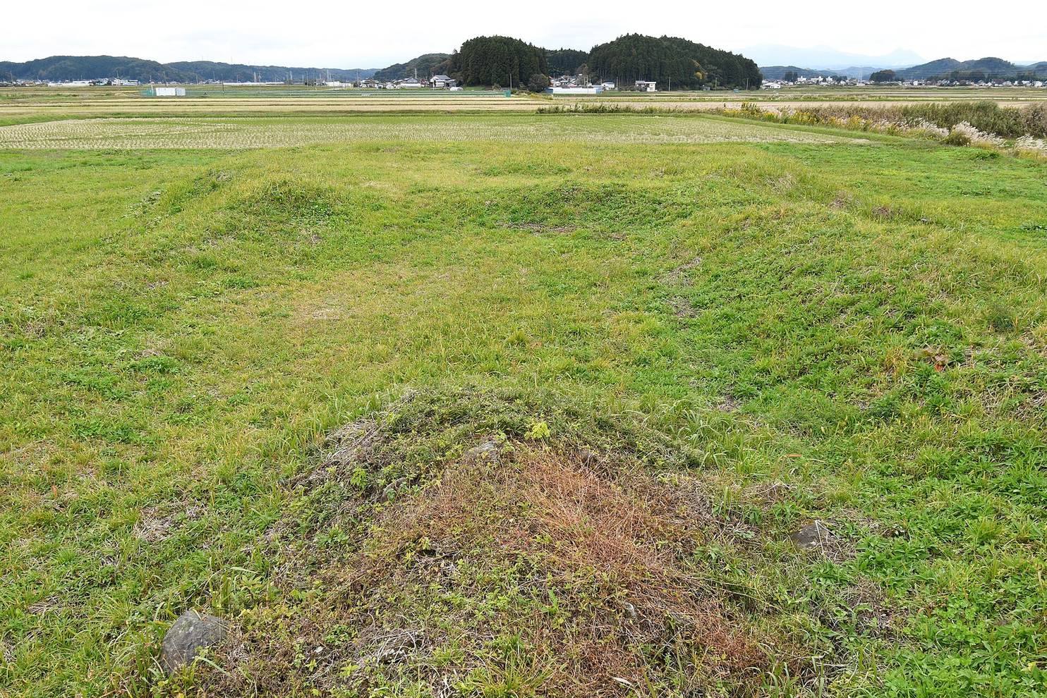
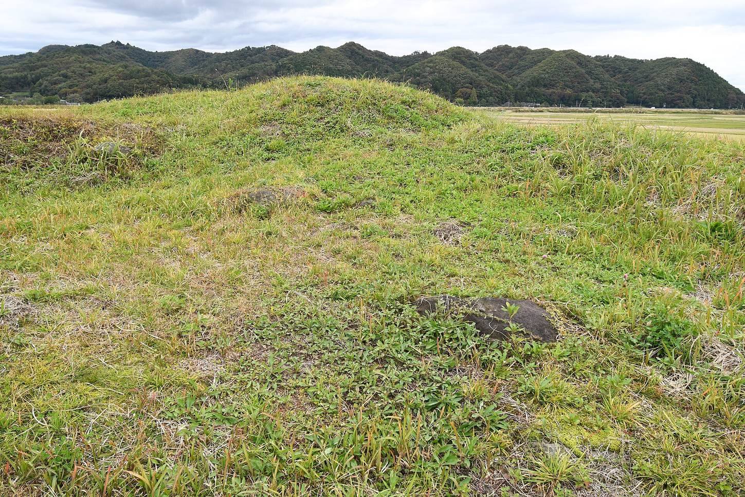
Shimofusazuka Kofun is a burial mound in southern Fukushima, Japan, built in the second half of the sixth century during the Kofun period, an era named for its large burial mounds. Its occupant is thought to have been a Shirakawa provincial chieftain, or kuni no miyatsuko, an ancient Japanese provincial leader.
Burial and local authority
The mound and the nearby Funada Nakamichi site suggest the presence of a local center of power shortly before ancient Shirakawa District, an administrative district in this part of Japan, took shape. Funada Nakamichi, an elite residence 150 metres northwest of the tomb, dates from the late sixth to early seventh century. A possible connection has been proposed between the local chieftainship and the Shirakawa provincial office described in the Sendai Kuji Hongi, a Japanese historical chronicle.
Shimofusazuka is part of the Kofun-period Shirakawa Funada-Motonuma Site Group, together with the late-phase tombs at Yachikubo and Nojikubo to the north. Alongside the Sekiwaku administrative-site remains, thought to represent the government seat of Shirakawa District, and the Kariyado temple ruins, these sites point to the historical center of the Shirakawa region.
Historical record and modern investigation
The Shirakawa Gazetteer, a regional record compiled in 1805, described the mound as 20 ken from east to west, five ken from north to south, and two ken high. A ken is a traditional Japanese unit of length.
A survey of the stone burial chamber took place in 1932. Surveys in 1996 to 1997 examined the site’s extent during prefectural farmland consolidation, followed by excavations in 2000 to 2002 in connection with site development. On 14 July 2005, the tomb became a National Historic Site as part of the Shirakawa Funada-Motonuma Site Group.
Remains
Mound and moat
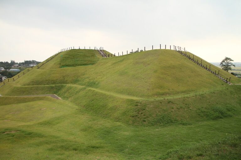
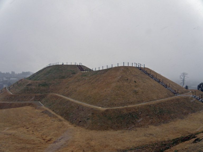
The mound stands on a river terrace on the right bank of the Abukuma River. It has a keyhole-shaped plan, with a circular rear section and a broad front facing west, and has been substantially levelled. Its recorded length is 71.8 metres; the circular rear section is 45.4 metres across, and the front is 63.3 metres wide. Surveys in 1996 to 1997 measured its length at 62 metres. The broad first tier also forms a base platform, a feature found in the historical region of Shimotsuke, broadly corresponding to present-day Tochigi Prefecture. A moat around the mound is 9 to 15 metres wide and 1.2 metres deep. It yielded cylindrical and figurative haniwa, terracotta objects associated with burial mounds. The figures include people, shields, swords, fans, houses, and animals.
Burial chamber and finds
The horizontal stone burial chamber is entered from the side and opens toward the south-southwest. Its plan narrows from the rear wall to the entrance, creating a paddle-like shape. Backing stones about 10 centimetres across were found behind the side walls. River stones packed near the entrance are thought to have served as blocking stones. The chamber had been looted, and most grave goods were lost; excavations recovered faceted and glass beads. Finds from the tomb are displayed at the Shirakawa City History and Folklore Museum in Nakata.