Șcheia Fortress: A Late 14th-Century Moldavian Stronghold
Site at a Glance
- Country
- Romania
- Primary era
- Medieval
- Eras represented
- Medieval
- Civilizations
- Principality of Moldavia
- Site type
- Military
- Remains
- Fort
On this page10 sections
History
Șcheia Fortress, also known as the Western Fortress of Suceava, is a late 14th-century fortification on the northwestern edge of Suceava, Romania. Built for the medieval Moldavian Principality during the reign of Petru II Mușat (1375–1391), it is regarded as the oldest known stone fortress of Moldavia’s feudal era and predates Suceava Fortress. Its construction formed part of regional defenses developed amid the Ottoman threat.
The fortress and Suceava’s defenses
Suceava became the principality’s capital in 1388. Its defenses included a princely court in the city center, Suceava Fortress to the east, and Șcheia Fortress to the west. Together, the fortifications were intended to protect the capital and the independence of the Moldavian state. Șcheia’s position also allowed roads approaching from the north and west, including routes from Poland and Hungary, to be monitored.
A later oral tradition placed a fortress somewhere on Suceava’s western side during the time of Stephen the Great. Although this was long treated as legend, archaeological research confirmed a fortress in the area and showed that it belonged to an earlier period. Interpretations of its construction differ: evidence has been taken to indicate that the fortress was completed, while other researchers argue that work stopped before completion because of unstable ground and errors in the site’s selection.
Dismantling in the early 15th century
During the reign of Alexander the Good (1400–1432), the fortress was deliberately dismantled in an organized manner. The reason is uncertain. One explanation is that unstable ground and landslides endangered the hill spur, leading to the demolition of the walls and the reuse of their stones elsewhere.
Another possibility connects the dismantling to Moldavia’s political relationship with Poland. Alexander had recognized the superior authority of King Władysław II Jagiełło while retaining Moldavia’s own rule, and had promised counsel and assistance against the king’s enemies. The Polish king may have pressed for the destruction of a fortress overlooking routes from Poland.
Archaeological investigation and later status
The Austrian architect and archaeologist Karl Adolf Romstorfer carried out the first investigations in the last decade of the 19th century. He considered similarities between building materials at Șcheia and at the later Suceava Fortress evidence that the two belonged to the same period. Five excavation campaigns took place between 1952 and 1956, uncovering the ruins; their results appeared in an archaeological monograph in 1960. In 2015, the site was included on Suceava County’s list of historical monuments as an archaeological site, with a protected area of 4.8 hectares.
Remains
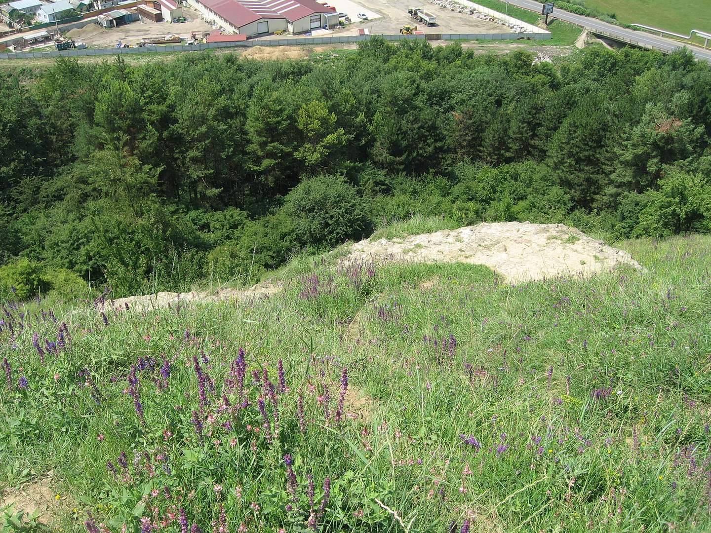
The ruins occupy the end of a projecting ridge on Șeptilici Hill, at the edge of a forest on Suceava’s northwestern side. The hill reaches 384 metres, and the fortress stands more than 80 metres above the Suceava floodplain, overlooking the Suceava River valley and Șcheia stream. The site has a diamond-shaped plan, with four corner towers and thick stone walls defining its enclosure.
Fortification defenses
Walls and corner towers
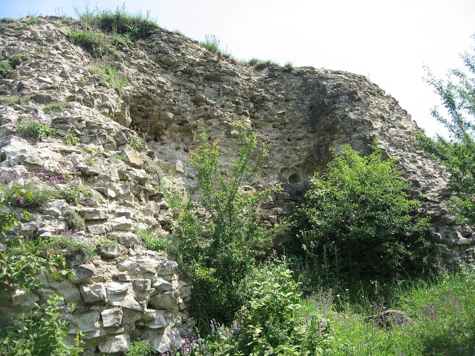
The fortress measured 36 metres in interior length and covered about 1,450 square metres including its towers. The enclosed area, excluding the towers, was approximately 1,300 square metres, and the inner perimeter was about 260 metres. Massive curtain walls, the defensive stretches joining towers, were 2.5 to 3 metres thick. Builders used unworked quarry boulders measuring 40 to 50 centimetres, bound with mortar made from lime, sand, and crushed brick. Lime kilns at Șcheia produced the lime. Wall fragments remain on the northwestern and southeastern sides.
Eastern buttresses and outer earthworks
Three projecting supports strengthened the eastern wall. A defensive ditch and raised earth bank followed the northeastern side and part of the southeastern side.
Western tower
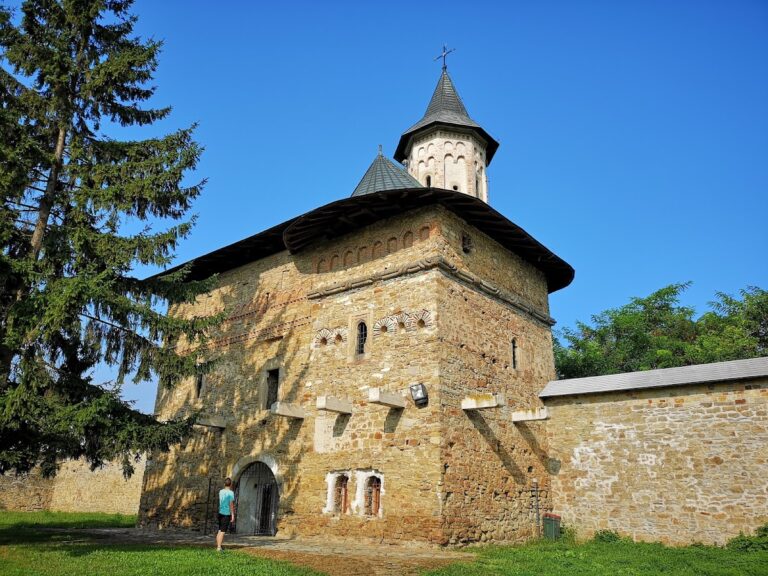
The western tower is the only tower standing above ground and the most substantial visible remnant. Its square plan measured about five metres to a side, covering roughly 25 square metres, and it now rises about six metres. Romstorfer’s late 19th-century observations describe its western side as collapsed or demolished. Much of the north and south sides remained, while the east side survived at foundation level.
Interior surfaces and excavated finds
Excavations inside the enclosure revealed paving traces and a continuous mortar slab. Finds included three silver groats, medieval coins, issued by Petru Mușat and two issued by Alexander the Good; pottery fragments characteristic of 14th-century rural and urban life; and seven arrowheads. Other recovered objects included a trowel found beside the eastern wall, a mason’s hammer, an iron chisel, a T-shaped iron drill, nails, wooden boards and planks, beams associated with the tower floors, and fire strikers used to make sparks for lighting fires.