Sauseriai Hillfort: A First-Millennium Defensive Site in Lithuania
Site at a Glance
- Popularity
- Very Low
- Country
- Lithuania
- Primary era
- Medieval
- Eras represented
- Medieval
- Civilizations
- Unclassified
- Site type
- Military
- Remains
- Fort
On this page9 sections
History
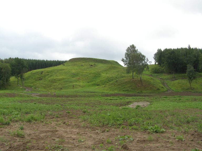
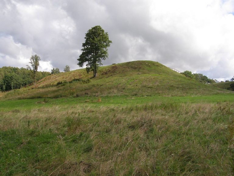
Sauseriai hillfort, also called Pilalė, is a fortified hilltop site in Sauseriai village, Kretinga District Municipality, Lithuania. It was established during the first millennium.
The hillfort was abandoned in the early second millennium, probably as conflict with crusaders began. Crusaders took part in medieval Christian religious wars, including campaigns in the Baltic region.
In 1997, Lithuanian archaeologist Julius Kanarskas investigated the settlement at the foot of the hillfort.
Remains
Hilltop enclosure and defenses
Main enclosure
The hillfort occupies a spur of high ground at the meeting of the Minija River and an unnamed stream, about 2.7 km southeast of where the Minija and Salantas rivers meet. Its steep southeastern slope drops about 35 m to the Minija valley, while the southwestern and northwestern slopes are lower and more gradual. The platform is elongated northeast to southwest, slopes toward the northwest and southwest, and measures about 50 m long and up to 35 m wide. Its roughly trapezoidal shape has four sides, with one pair of parallel sides.
A straight defensive bank crosses the northeastern end of the platform, separating it from higher ground. The bank runs northwest to southeast, is about 30 m long and 6–7 m wide, and stands 1.7 m high on the inner side and 2 m on the outer side. It becomes lower and narrower toward the northwest. A gap about 4 m wide between its southeastern end and the steep slope marks the location of the castle gate. Erosion once caused part of the southwestern slope and platform to slump away. In 1996–1997, a protective embankment was built to divert surface water and halt the erosion.
Fore-hillfort
Northeast of the main enclosure is a fore-hillfort, a separately defended area associated with a hillfort but outside its main enclosure. It measures about 35 m northwest to southeast and 13–14 m across. A second defensive bank once separated it from higher ground; only the section beside the steep slope survives. That remnant is 13 m long, 8 m wide, and up to 0.8 m high.
Settlement and excavated evidence
Settlement area
A settlement area lay northeast of the fore-hillfort. Together, the hillfort and settlement cover 3.5 hectares.
Post-built structures and finds
The 1997 investigation covered 179 m² and exposed an occupation layer 6–20 cm thick, 82 postholes, three ditches, a hearth, hand-built pottery sherds, and flint flakes. The postholes mark the positions of structures supported by upright posts. Some were narrow holes for pointed posts driven into the ground, measuring 4–5 cm across and 29–42 cm deep. Others were dug to hold posts and were usually 30–32 cm wide, though some measured 15–20 cm; they were 30–63 cm deep. Charcoal occurred in many of the postholes.
Ditches and hearth
A defensive ditch lay 4–5 m northeast of the fore-hillfort’s defensive bank. It was 1.6 m wide and 48–60 cm deep, and contained pottery sherds, charcoal, clay wall material, and a flint flake. Two further ditches ran parallel to the bank, about 2.3 m and 8 m beyond the defensive ditch. Each was 35–48 cm wide and 44–53 cm deep; their fills contained pottery sherds and charcoal. A hearth between these ditches and the defensive ditch had a base lined with split red stones.